


Mexiko
Durango
Durango gehört zu den 32 Regionen in Mexiko; der größte Ort ist Mapimí.
Beste ZeitJan.–Feb. · Dez.
Bestes Wetter im OktoberPeñón Blanco 89
Oktober: Höchstwerte19° – 31°
Regen in diesem Monat (Mittel)37mm
Mittel der 20 bekanntesten Orte. Am besten: Jan.–Feb. · Dez..
Durango auf einen Blick
Der Atlas begleitet hier 10.272 Orte Monat für Monat, dazu 5 Berge und 3 Denkmäler; für die meistbesuchten Orte sind Januar, Februar und Dezember die besten Monate.
Beste Reisezeit für Durango
Die besten Orte jedes Monats hier und das mittlere Klima der bekanntesten.
| Jan. | Feb. | März | Apr. | Mai | Juni | Juli | Aug. | Sep. | Okt. | Nov. | Dez. | |
|---|---|---|---|---|---|---|---|---|---|---|---|---|
| Wertung | 97 | 95 | 93 | 82 | 69 | 58 | 52 | 58 | 64 | 81 | 95 | 96 |
| Max. | 21° | 23° | 26° | 29° | 31° | 31° | 28° | 28° | 26° | 26° | 24° | 21° |
| Min. | 6° | 7° | 9° | 12° | 15° | 17° | 17° | 17° | 16° | 13° | 9° | 7° |
| Regen (mm) | 23 | 9 | 5 | 7 | 17 | 70 | 126 | 116 | 97 | 37 | 15 | 16 |
Orte in Durango
Die bekanntesten Orte mit ihrer Wertung in diesem Monat; jeder Ort steht in der Liste von A bis Z unten.
77OktoberMapimí
6.617 Einwohner
29° / 16°21 mm
86OktoberVictoria de Durango
616 Tsd. Einwohner
24° / 11°28 mm
67OktoberGómez Palacio
302 Tsd. Einwohner
31° / 17°21 mm
67OktoberLerdo
96 Tsd. Einwohner
31° / 17°22 mm
84Oktober
Nombre de Dios
5.953 Einwohner
26° / 12°26 mm
82OktoberEl Salto
27 Tsd. Einwohner
19° / 7°92 mm
 86Oktober
Canatlán
12 Tsd. Einwohner
23° / 10°40 mm
 85Oktober
Cuencamé de Ceniceros
12 Tsd. Einwohner
27° / 14°30 mm
39 Kreise, jeder mit allen seinen Orten

Canatlán237 Orte · 29 Tsd. · Canatlán
Canelas199 Orte · 4.702 · Canelas
Coneto de Comonfort70 Orte · 3.909 · Coneto de Comonfort

Cuencamé417 Orte · 34 Tsd. · Cuencamé de Ceniceros

Durango793 Orte · 672 Tsd. · Victoria de Durango
El Oro167 Orte · 10 Tsd. · Santa María del Oro
General Simón Bolívar47 Orte · 10 Tsd. · General Simón Bolívar

Gómez Palacio410 Orte · 362 Tsd. · Gómez Palacio
Guadalupe Victoria76 Orte · 37 Tsd. · Guadalupe Victoria
Guanaceví458 Orte · 8.234 · Guanaceví
Hidalgo163 Orte · 3.760 · Villa Hidalgo
Indé108 Orte · 4.365 · Indé

Lerdo228 Orte · 153 Tsd. · Lerdo
Mapimí395 Orte · 26 Tsd. · Mapimí
Mezquital1.183 Orte · 30 Tsd. · San Francisco del Mezquital
Nazas83 Orte · 12 Tsd. · Nazas
Nombre de Dios110 Orte · 16 Tsd. · Nombre de Dios
Nuevo Ideal158 Orte · 24 Tsd. · Nuevo Ideal
Ocampo223 Orte · 5.735 · Villa Ocampo
Otáez129 Orte · 3.376 · Banome

Pánuco de Coronado68 Orte · 11 Tsd. · Francisco I. Madero

Peñón Blanco102 Orte · 8.623 · Peñón Blanco
Poanas67 Orte · 25 Tsd. · Villa Unión

Pueblo Nuevo554 Orte · 69 Tsd. · El Salto

Rodeo111 Orte · 11 Tsd. · Rodeo
San Bernardo136 Orte · 2.856 · San Bernardo
San Dimas522 Orte · 17 Tsd. · Tayoltita
San Juan de Guadalupe90 Orte · 4.700 · San Juan de Guadalupe
San Juan del Río128 Orte · 12 Tsd. · San Juan del Río del Centauro del Norte
San Luis del Cordero24 Orte · 2.058 · San Luis del Cordero
San Pedro del Gallo65 Orte · 1.494 · San Pedro del Gallo

Santa Clara35 Orte · 6.285 · Santa Clara
Santiago Papasquiaro438 Orte · 46 Tsd. · Santiago Papasquiaro
Súchil54 Orte · 5.861 · Súchil

Tamazula867 Orte · 22 Tsd. · Tamazula de Victoria
Tepehuanes432 Orte · 9.759 · Santa Catarina de Tepehuanes
Tlahualilo145 Orte · 22 Tsd. · Tlahualilo de Zaragoza
Topia381 Orte · 7.278 · Topia
Vicente Guerrero20 Orte · 23 Tsd. · Vicente Guerrero
Weitere Orte in Durango · 379
AAgua Caliente · Aguacaliente · Aguaje San Ignacio …11
BBainorito · Bajío del Alamito · Barbechitos …8
CCaimantita · Cajones · Campo Dieciséis …22
EEl Aguaje · El Alamo · El Álamo …110
- El Aguaje
- El Alamo
- El Álamo
- El Ancón Chiquito
- El Arbolito
- El Arroyo de Tejas
- El Cabuche
- El Camichín
- El Campo
- El Capomo
- El Carrizal
- El Carrizo
- El Cascajal
- El Cebruno
- El Cedrito
- El Chapalote
- El Chato
- El Chirimollo
- El Chirimoyo
- El Ciruelito
- El Ciruelito
- El Ciruelo
- El Ciruelo
- El Colomo
- El Colorado
- El Comisario
- El Compás
- El Consuelo
- El Cordón
- El Cuadro
- El Descanso
- El Desecho
- El Duraznito
- El Durazno
- El Durazno
- El Ébano
- El Espinal
- El Esterito
- El Gorgoyón
- El Guisquelite
- El Huérfano
- El Jagüey
- El Limón
- El Llanito
- El Llano
- El Lodo
- El Lucero
- El Madroño
- El Maguey
- El Maguey
- El Mal Fajado
- El Mexicano
- El Mezquital
- El Muerto Viejo
- El Naranjo
- El Nogalito
- El Olvido
- El Palmar
- El Pando de la Burra
- El Parián
- El Parreño
- El Pedregoso
- El Peñol
- El Pinal
- El Pino
- El Pinto
- El Polillar
- El Polvorín
- El Potrero
- El Potrero
- El Potrero de Arriba
- El Pozo
- El Pueblo
- El Pueblo
- El Puente
- El Quemado
- El Quemado
- El Quemado
- El Ranchito
- El Ranchito
- El Ranchito
- El Recuerdo
- El Reparo
- El Rincón del Pueblo
- El Sacramento
- El Sacrificio
- El Saltillo
- El Salto
- El Salto
- El Sartenejo
- El Sauce
- El Sauce
- El Sauz
- El Sauz
- El Tajo
- El Tejabán
- El Tepozán
- El Terrero
- El Terrero
- El Toril
- El Trigo
- El Trigo
- El Trigo
- El Venadillo
- El Venadito
- El Vergel
- El Vergel
- El Zapote
- El Zapotillo
- Estación San Isidro
FFlor de Mayo1
GGuadalupe · Guadalupe · Guamúchil …4
HHorcones · Huachimetas de Abajo · Huitrón3
LLa Angostura · La Angostura · La Anqueta …123
- La Angostura
- La Angostura
- La Anqueta
- La Candelaria
- La Casa Quemada
- La Ceja
- La Chirimoyita
- La Ciénega
- La Cieneguita
- La Colorada
- La Cuesta
- La Cueva de la Tierra
- La Curva
- La Escondida
- La Espinaloza
- La Esquina
- La Fe
- La Guajolota
- La Iguana
- La Joya
- La Joya
- La Junta
- La Laguna
- La Lagunita
- La Lagunita
- La Lajita
- La Lobera
- La Manga de Arriba
- La Mesa
- La Mesa de Tierra Blanca
- La Mina
- La Osa
- La Palma
- La Parida
- La Piedra Amolar
- La Piedra Bola
- La Presa
- La Presa
- La Quebrada de En Medio
- La Silla
- La Sociedad
- La Soledad
- La Tarumala
- La Tehua
- La Tijera
- La Tinaja
- La Tinaja
- La Toma
- La Vaca Colgada
- La Vainilla
- La Vega
- La Ventanilla del Alto
- La Vinata
- La Vinata
- La Yerbabuena
- Lagunas del Refugio
- Las Adjuntas del Río
- Las Águilas
- Las Alazanas
- Las Animas
- Las Apomas
- Las Bateas
- Las Bonitas
- Las Boticas
- Las Carboneras
- Las Chivas
- Las Flores
- Las Golondrinas
- Las Guásimas
- Las Güeras
- Las Huertas
- Las Iglesias
- Las Joyas
- Las Joyas
- Las Juntas
- Las Juntas de Amaculí
- Las Juntitas
- Las Juntitas
- Las Lagunitas
- Las Mesas
- Las Minitas
- Las Moras
- Las Palmas
- Las Panchas
- Las Peñitas
- Las Presas
- Las Presitas
- Las Ranas
- Las Tres Cruces
- Las Vegas
- Las Yeguas
- Lechuguilla
- Llano La Cocina
- Los Amparos
- Los Aposentos
- Los Bancos del Águila
- Los Caliches
- Los Cedros
- Los Charcos
- Los Ciruelos
- Los Copales
- Los Cordones
- Los Cordones
- Los Coreanos
- Los Coyotes
- Los Duraznos
- Los Encinos
- Los Horcones
- Los Laureles
- Los Lobos
- Los Monos
- Los Negritos
- Los Ojitos
- Los Parajes
- Los Pelícanos
- Los Pinitos
- Los Plátanos
- Los Robles
- Los Robles
- Los Robles
- Los Salatones
- Los Tanques
- Los Zapotes
MMarungo · Mazapa · Mesa de la Palma …10
NNaranjo · Niños Héroes · Noche Buena …5
OOjito Colorado · Ojitos de Orizaba · Olimpo3
PPalo Hueco · Palo Prieto · Paraíso de los Santos …15
QQuelele1
RRanchito · Rancho Amarillo · Rancho Amole …12
SSalitrillo · Salsipuedes · San Alberto …36
- Salitrillo
- Salsipuedes
- San Alberto
- San Antonio
- San Gabriel
- San Ignacio
- San Isidro
- San Isidro
- San Isidro
- San José
- San José
- San José de la Montaña
- San Juan
- San Juan de Morga
- San Julian
- San Luisito
- San Miguel
- San Miguel
- San Pedro
- San Rafael
- San Refugio
- San Silvestre
- Santa Adriana
- Santa Ana
- Santa Gertrudis
- Santa Isabel
- Santa Rosa
- Santa Rosa
- Santa Rosa
- Santa Rosa del Oro
- Santa Teresa
- Saucito
- Secunsa
- Sombreretillo
- Sombrereto
- Sorruedo
TTablillas · Tambores de Arriba · Tapacoya …11
VValderrama · Viejo San Sebastián · Vista del Mar3
XXoconoxtle1
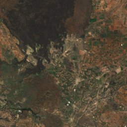
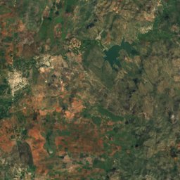
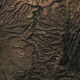
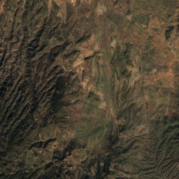
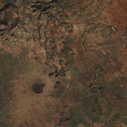
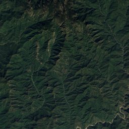
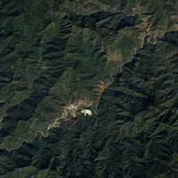
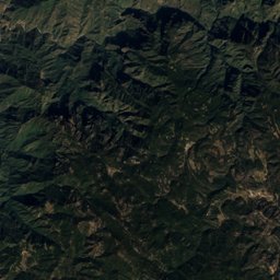
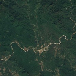
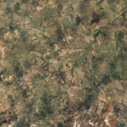
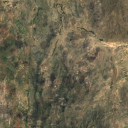
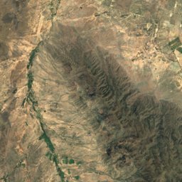
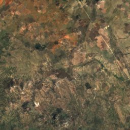
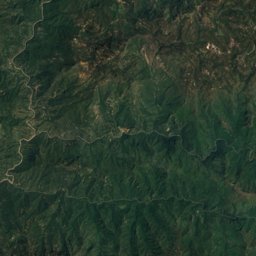
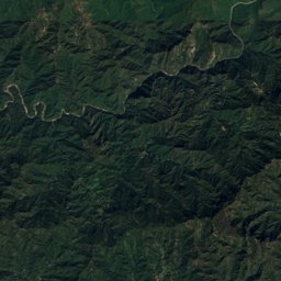
Durango von oben
Jeder Ort bewertet für den gewählten Monat: angenehme Temperaturen, trockene Tage, klarer Himmel.
OktoberMonats-Scores für Durango
Foto: Oliver Alexander Anderson Huerta from Durango, Mexico · CC BY 2.0 · Wikimedia CommonsFoto melden · verlinkt, nicht gespeichert
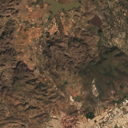
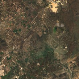
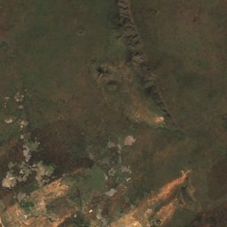
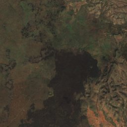
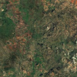
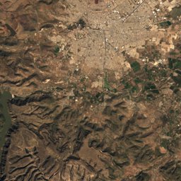
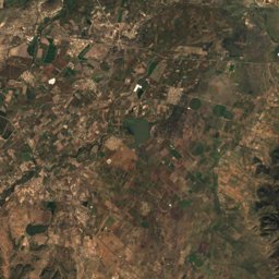
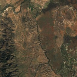
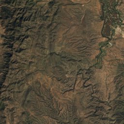
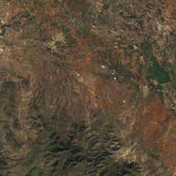
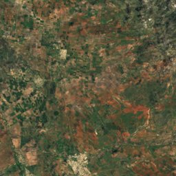
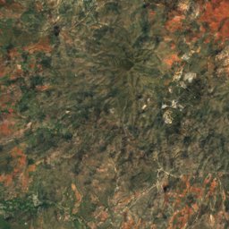
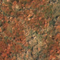
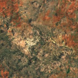
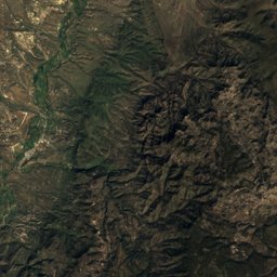
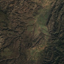
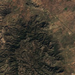
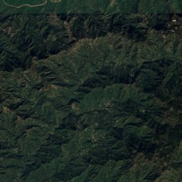
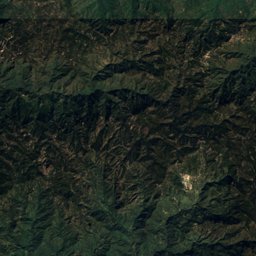
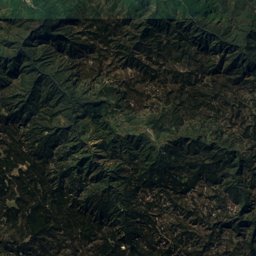
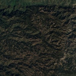
Satellit: Sentinel-2 cloudless 2016 by EOX IT Services GmbH · CC BY 4.0 · Contains modified Copernicus Sentinel data 2016
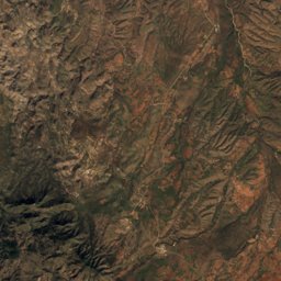
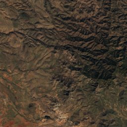
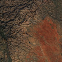
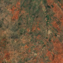
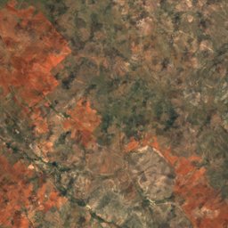
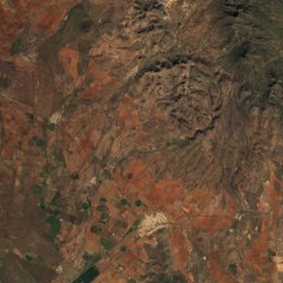
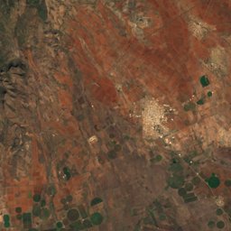
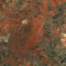
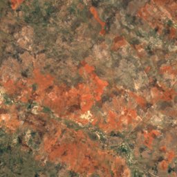
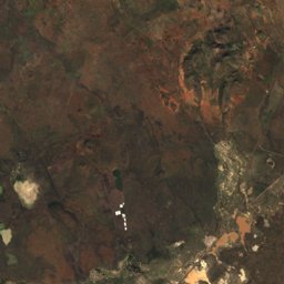
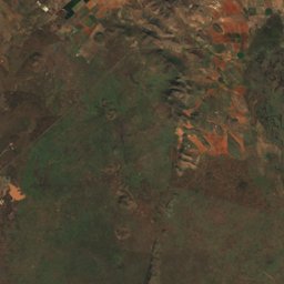
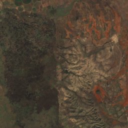
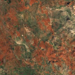
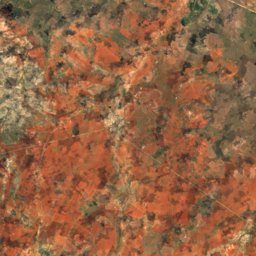
Satellit: Sentinel-2 cloudless 2016 by EOX IT Services GmbH · CC BY 4.0 · Contains modified Copernicus Sentinel data 2016
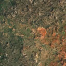
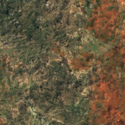
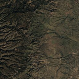
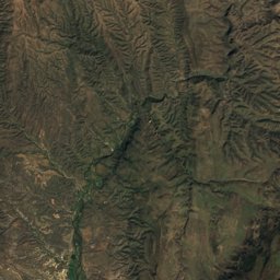
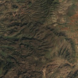
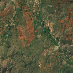
Satellit: Sentinel-2 cloudless 2016 by EOX IT Services GmbH · CC BY 4.0 · Contains modified Copernicus Sentinel data 2016
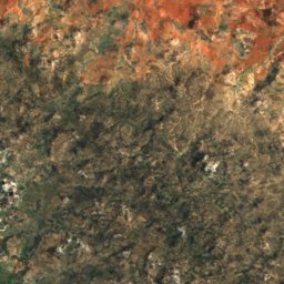
Satellit: Sentinel-2 cloudless 2016 by EOX IT Services GmbH · CC BY 4.0 · Contains modified Copernicus Sentinel data 2016
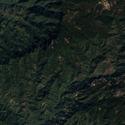
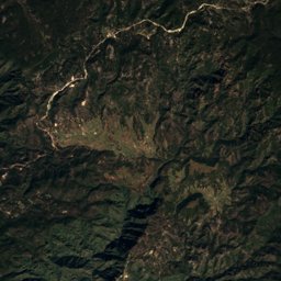
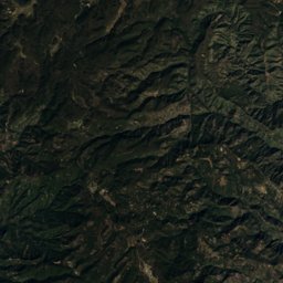
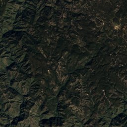
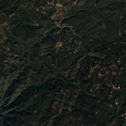
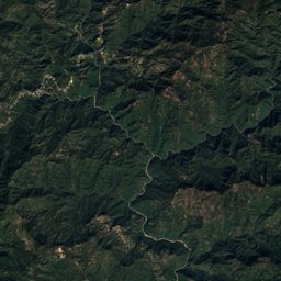
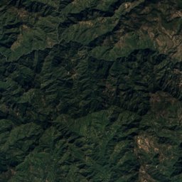
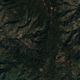
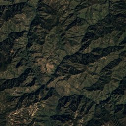
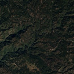
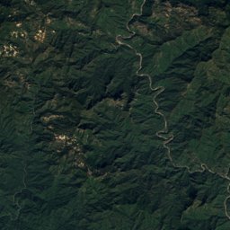
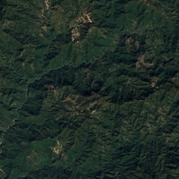
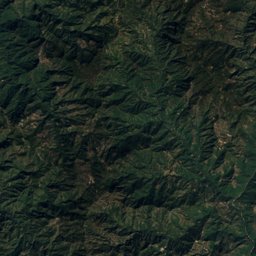
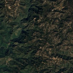
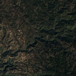
Satellit: Sentinel-2 cloudless 2016 by EOX IT Services GmbH · CC BY 4.0 · Contains modified Copernicus Sentinel data 2016
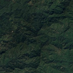
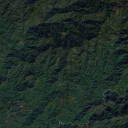
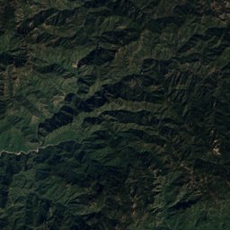
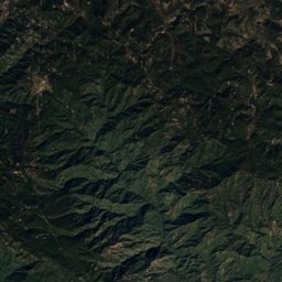
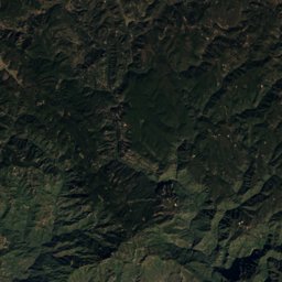
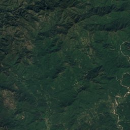
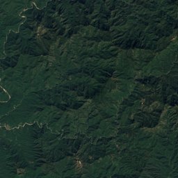
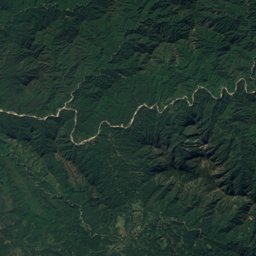
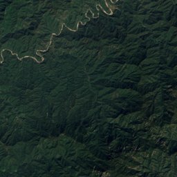
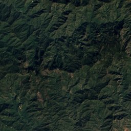
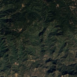
Satellit: Sentinel-2 cloudless 2016 by EOX IT Services GmbH · CC BY 4.0 · Contains modified Copernicus Sentinel data 2016

Foto: México en Fotos, A.C. · CC BY-SA 2.0 · Wikimedia CommonsFoto melden · verlinkt, nicht gespeichert

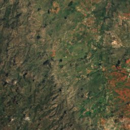
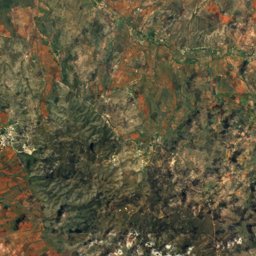
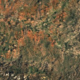
Satellit: Sentinel-2 cloudless 2016 by EOX IT Services GmbH · CC BY 4.0 · Contains modified Copernicus Sentinel data 2016
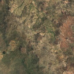
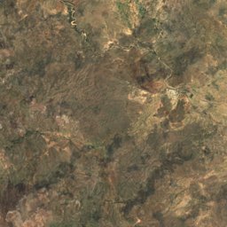
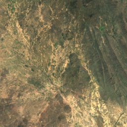
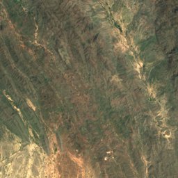
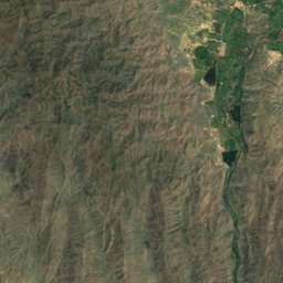
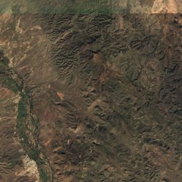
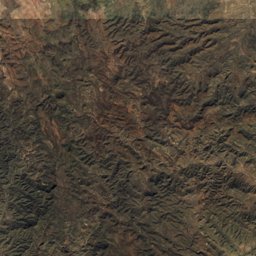
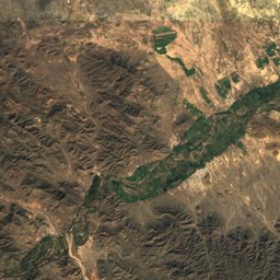
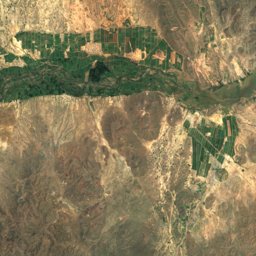
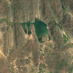
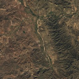
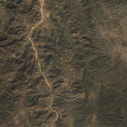
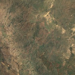
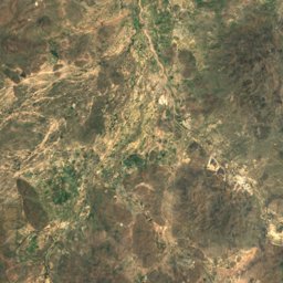
Satellit: Sentinel-2 cloudless 2016 by EOX IT Services GmbH · CC BY 4.0 · Contains modified Copernicus Sentinel data 2016
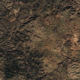
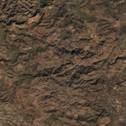
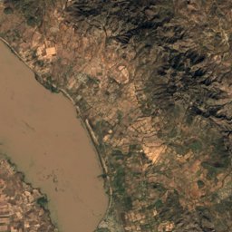
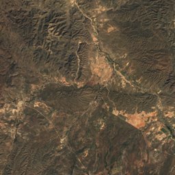
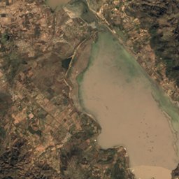
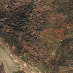
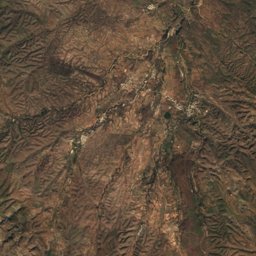
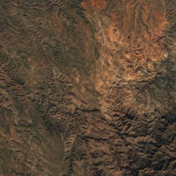
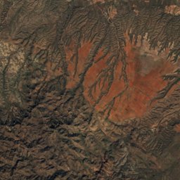
Satellit: Sentinel-2 cloudless 2016 by EOX IT Services GmbH · CC BY 4.0 · Contains modified Copernicus Sentinel data 2016
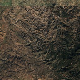
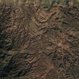
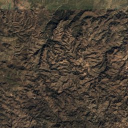
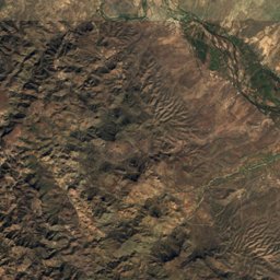
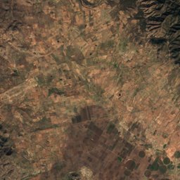
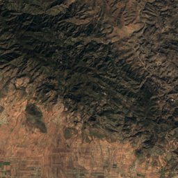
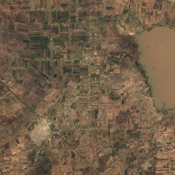
Satellit: Sentinel-2 cloudless 2016 by EOX IT Services GmbH · CC BY 4.0 · Contains modified Copernicus Sentinel data 2016
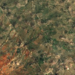
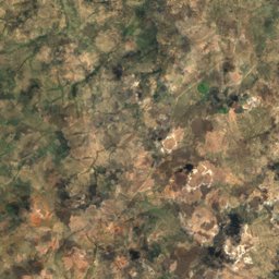
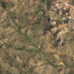
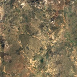
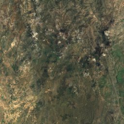
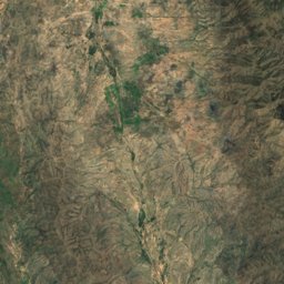
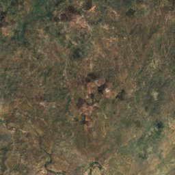
Satellit: Sentinel-2 cloudless 2016 by EOX IT Services GmbH · CC BY 4.0 · Contains modified Copernicus Sentinel data 2016
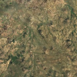
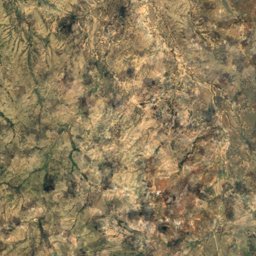
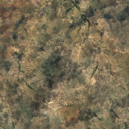
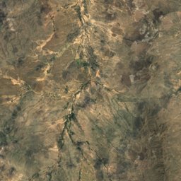
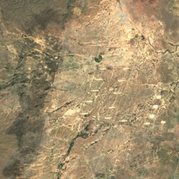
Satellit: Sentinel-2 cloudless 2016 by EOX IT Services GmbH · CC BY 4.0 · Contains modified Copernicus Sentinel data 2016
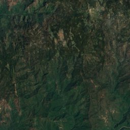
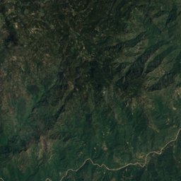
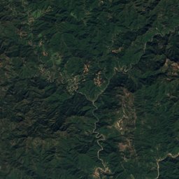
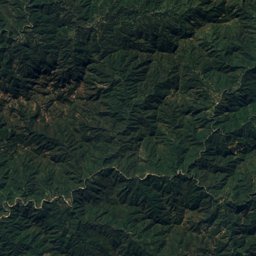
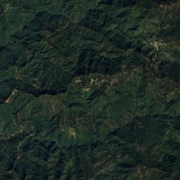
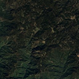
Satellit: Sentinel-2 cloudless 2016 by EOX IT Services GmbH · CC BY 4.0 · Contains modified Copernicus Sentinel data 2016
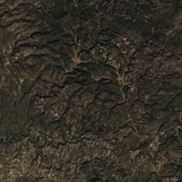
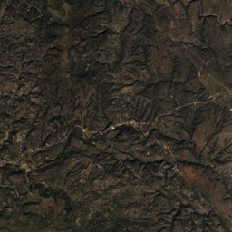
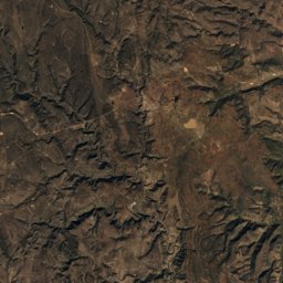
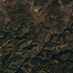
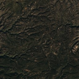
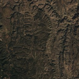
Satellit: Sentinel-2 cloudless 2016 by EOX IT Services GmbH · CC BY 4.0 · Contains modified Copernicus Sentinel data 2016
Satellit: Sentinel-2 cloudless 2016 by EOX IT Services GmbH · CC BY 4.0 · Contains modified Copernicus Sentinel data 2016
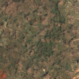
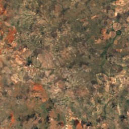
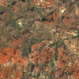
Satellit: Sentinel-2 cloudless 2016 by EOX IT Services GmbH · CC BY 4.0 · Contains modified Copernicus Sentinel data 2016
Natur in Durango
Gipfel2.593 m
Picacho La PalmaGipfel2.103 m
Volcán El TezontleGipfel1.995 m
Picacho El Vigía
Höhle
Grutas del RosarioTierwelt im Oktober
Die Vögel und Säugetiere in Mexiko, die in diesem Monat am häufigsten beobachtet werden.


Draußen in Durango
Kultur in Durango


Was in Durango los ist
Anreise nach Durango
Francisco Sarabia Tinoco International AirportTRC · Mapimí
54 kmGeneral Guadalupe Victoria International AirportDGO · Mapimí
202 kmOrte in Durango von A bis Z
Die 36 wichtigsten Orte; jedes Dorf steht auf der Seite seines Kreises.
S
Weitere Regionen in Mexiko
Aguascalientes2.684Baja California3.642Baja California Sur3.331Campeche5.899Chiapas21.442Chihuahua20.623Coahuila11.661Colima1.292Guanajuato11.366Guerrero8.914Hidalgo5.618Jalisco16.403México5.855Mexico City489Michoacán14.393Morelos1.770Nayarit3.340Nuevo León11.323Oaxaca11.601Puebla6.695Querétaro3.650Quintana Roo1.924San Luis Potosí7.353Sinaloa8.385Sonora11.934Tabasco3.341Tamaulipas13.544Tlaxcala1.226Veracruz20.124Yucatán4.889Zacatecas6.711