






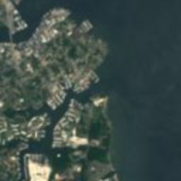














































Satellit: Sentinel-2 cloudless 2016 by EOX IT Services GmbH · CC BY 4.0 · Contains modified Copernicus Sentinel data 2016

Foto: Pubdog (talk) · Public domain · Wikimedia Commons
South River ClubFoto melden · verlinkt, nicht gespeichert
South River ClubSouth River ClubFoto melden · verlinkt, nicht gespeichert

Foto: Acroterion · CC BY-SA 4.0 · Wikimedia Commons
London Town Publik HouseFoto melden · verlinkt, nicht gespeichert
London Town Publik HouseLondon Town Publik HouseFoto melden · verlinkt, nicht gespeichert

Foto: Pubdog (talk) · Public domain · Wikimedia Commons
All Hallows ChurchFoto melden · verlinkt, nicht gespeichert
All Hallows ChurchAll Hallows ChurchFoto melden · verlinkt, nicht gespeichert
Historisches HausMayo, Maryland
Gresham
Eintrag im National Register of Historic Places
ArtHistorisches Haus
Erbaut–
Beste MonateApr. · Sep.–Okt.Wetter in Mayo
38,91° N, 76,53° WUTC−4 · Nordamerikanische Ostküsten-Sommerzeit
ReisezeitMayo · Wetterwertung
Beste ZeitApr. · Sep.–Okt.
Oktober: Max. / Min.20° / 10°
iÜber das Denkmal
Gresham in Kürze
Gresham – Historisches Haus in Mayo, Maryland, USA.
Ausgewiesen als Eintrag im National Register of Historic Places.
Für einen Besuch ist das Wetter in Mayo im April, September und Oktober am besten; im Oktober liegen die Nachmittagswerte im Mittel bei 20°.
iiLage
Wo es zu finden ist
iiiReisezeit
KlimaführerWetter in Mayo
Monats-Score für Besichtigungen
Am besten Apr. · Sep.–Okt.35
Jan.
33
Feb.
42
März
73
Apr.
69
Mai
52
Juni
42
Juli
49
Aug.
71
Sep.
80
Okt.
59
Nov.
33
Dez.
ivIn der Nähe
Alle Denkmäler in den USAWeitere Denkmäler ganz in der Nähe
London Town Publik House
3,7 km N
Eintrag im National Register of Historic Places
In der Umgebung
Mayo und Umgebung








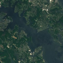




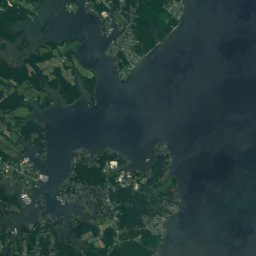

Natur

Foto: Ravens326 at English Wikipedia · Public domain · Wikimedia CommonsFoto melden · verlinkt, nicht gespeichert
Severn River, Maryland
Fluss

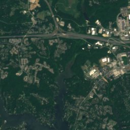
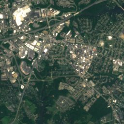
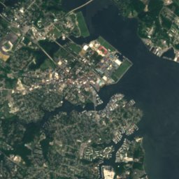




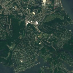



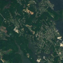


Satellit: Sentinel-2 cloudless 2016 by EOX IT Services GmbH · CC BY 4.0 · Contains modified Copernicus Sentinel data 2016
South River, Maryland
Fluss

Denkmäler

Maryland State House
Eintrag im National Register of Historic Places · 1772

Foto: National Museum of the U.S. Navy · Public domain · Wikimedia CommonsFoto melden · verlinkt, nicht gespeichert
United States Naval Academy
National Historic Landmark · 1845

Foto: Flickr user: high limitzz https://www.flickr.com/people/highlimitstudio/ · CC BY 2.0 · Wikimedia CommonsFoto melden · verlinkt, nicht gespeichert
Annapolis
1649
Museen













Satellit: Sentinel-2 cloudless 2016 by EOX IT Services GmbH · CC BY 4.0 · Contains modified Copernicus Sentinel data 2016
Smithsonian Environmental Research Center
1964














Satellit: Sentinel-2 cloudless 2016 by EOX IT Services GmbH · CC BY 4.0 · Contains modified Copernicus Sentinel data 2016
United States Naval Academy Museum
Schifffahrtsmuseum