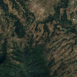
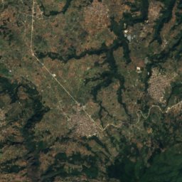
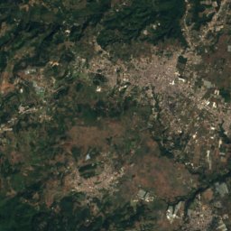
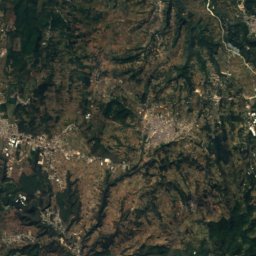
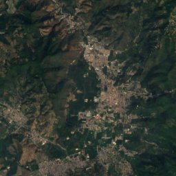
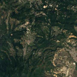
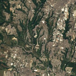
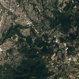
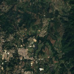
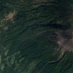
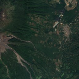
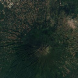
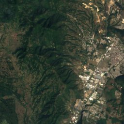
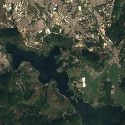
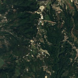
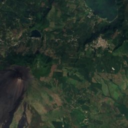
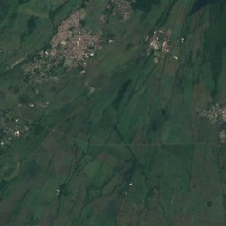
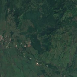
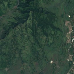
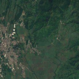
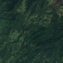
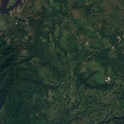
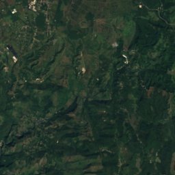
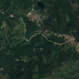
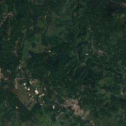
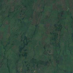
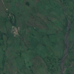
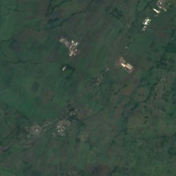
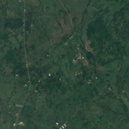
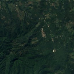
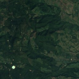
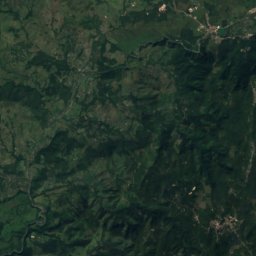
Satellit: Sentinel-2 cloudless 2016 by EOX IT Services GmbH · CC BY 4.0 · Contains modified Copernicus Sentinel data 2016
Sierra Madre de Chiapas · Escuintla · GuatemalaGipfelwetter, Vorhersage und Klima
Pacaya
Komplexvulkan · letzter großer Ausbruch 20212.552 m
Höhe2.552 müber dem Meer
Schartenhöhe–eigenständige Höhe
Dominanz18 kmbis zu einem höheren Gipfel
Gipfel, Juli18°mittleres Maximum
14,38° N, 90,60° WHöhe 2.552 mUTC−6 · Nordamerikanische Zentral-Normalzeit
Vom Tal zum Gipfel
- Gipfel2.552 m
- Mittlere Höhe2.040 m
- Tal · San Vicente Pacaya1.525 m
Nullgradgrenze im Oktober: über dem Gipfel
iDer Berg
Pacaya in Kürze
Pacaya ist 2.552 m hoch und liegt in der Region Escuintla in Guatemala (Gebirge: Sierra Madre de Chiapas).
Am Gipfel ist der März der mildeste Monat mit durchschnittlichen Höchstwerten von 20°; Frostnächte sind selten.
Nächster Ort im Atlas ist San Vicente Pacaya, 5,3 km in Richtung NW auf 1.525 m Höhe.
iiWetter
Wetter in drei Höhen
Die Temperaturen sind an jede Höhe angepasst; am Gipfel ist es meist kälter und windiger, als die Talvorhersage vermuten lässt.
Aktuelle Vorhersage wird geladen …
Aktuelle Vorhersage wird geladen …
Aktuelle Vorhersage wird geladen …
iiiGipfelklima
Pacaya: das Gipfelklima nach Monaten
Temperatur und Niederschlag am Gipfel
Klimamittel für den Gipfelbereich (~1-km-Raster), an Stationen angeglichen| Monat | Jan. | Feb. | März | Apr. | Mai | Juni | Juli | Aug. | Sep. | Okt. | Nov. | Dez. |
|---|---|---|---|---|---|---|---|---|---|---|---|---|
| Mittleres Maximum | 19° | 19° | 20° | 20° | 19° | 18° | 18° | 18° | 17° | 17° | 17° | 18° |
| Mittleres Minimum | 7° | 7° | 8° | 9° | 10° | 10° | 10° | 10° | 10° | 9° | 8° | 7° |
| Niederschlag | 6 mm | 13 mm | 20 mm | 82 mm | 289 mm | 480 mm | 384 mm | 359 mm | 463 mm | 308 mm | 66 mm | 15 mm |
| Bewölkung | 12 % | 13 % | 15 % | 25 % | 54 % | 74 % | 66 % | 67 % | 72 % | 55 % | 31 % | 16 % |
| Tageslicht | 11h 22 | 11h 41 | 12h 03 | 12h 27 | 12h 48 | 12h 58 | 12h 54 | 12h 36 | 12h 13 | 11h 49 | 11h 28 | 11h 17 |
| Monats-Score | 98 | 96 | 95 | 77 | 57 | 47 | 52 | 52 | 45 | 52 | 78 | 96 |
Schnee und Nullgradgrenze
Mittlere Höhe der 0-°C-Grenze aus den Gipfelwerten (6,5 °C pro km); Schneemonate haben am Gipfel ein Mittel von höchstens +1 °C| Monat | Jan. | Feb. | März | Apr. | Mai | Juni | Juli | Aug. | Sep. | Okt. | Nov. | Dez. |
|---|---|---|---|---|---|---|---|---|---|---|---|---|
| Nullgradgrenze | 4.500 m | 4.600 m | 4.700 m | 4.800 m | 4.750 m | 4.700 m | 4.650 m | 4.700 m | 4.600 m | 4.600 m | 4.500 m | 4.500 m |
| Gipfel | über 0 °C | über 0 °C | über 0 °C | über 0 °C | über 0 °C | über 0 °C | über 0 °C | über 0 °C | über 0 °C | über 0 °C | über 0 °C | über 0 °C |
ivGelände
Pacaya in 3D
vNachbarn
Berge in GuatemalaGipfel in der Nähe
| Berg | Höhe | Schartenhöhe | Entfernung | Gipfel, max. im Juli |
|---|---|---|---|---|
| Volcán de Agua | 3.760 m | – | 18 km NW | 11° |
viTalorte
Übernachten in der Nähe
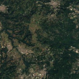
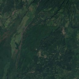
Satellit: Sentinel-2 cloudless 2016 by EOX IT Services GmbH · CC BY 4.0 · Contains modified Copernicus Sentinel data 2016
San Vicente Pacaya
Escuintla · 5,3 km NW
22°max. Okt.
27Regentage
57Score
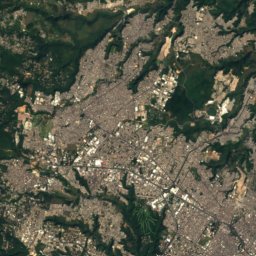
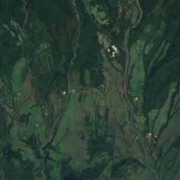
Satellit: Sentinel-2 cloudless 2016 by EOX IT Services GmbH · CC BY 4.0 · Contains modified Copernicus Sentinel data 2016
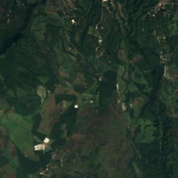
Palín
Escuintla · 11 km W
24°max. Okt.
27Regentage
60Score
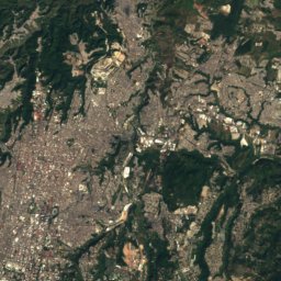
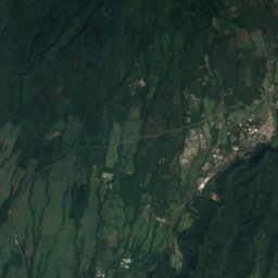
Satellit: Sentinel-2 cloudless 2016 by EOX IT Services GmbH · CC BY 4.0 · Contains modified Copernicus Sentinel data 2016
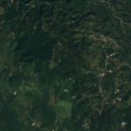
Amatitlán
Guatemala · 11 km N
25°max. Okt.
27Regentage
58Score
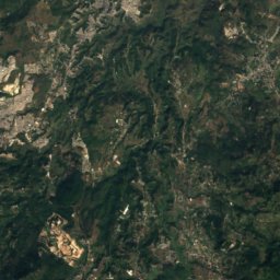
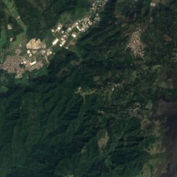
Satellit: Sentinel-2 cloudless 2016 by EOX IT Services GmbH · CC BY 4.0 · Contains modified Copernicus Sentinel data 2016
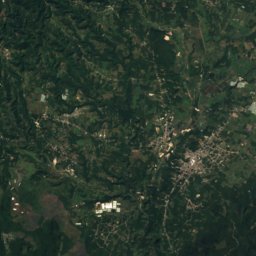
Villa Canales
Guatemala · 13 km NO
25°max. Okt.
20Regentage
60Score
In der Umgebung
San Vicente Pacaya und Umgebung
Satellit: Sentinel-2 cloudless 2016 by EOX IT Services GmbH · CC BY 4.0 · Contains modified Copernicus Sentinel data 2016
San Vicente Pacaya
Escuintla · Guatemala
Jan.–Feb. · Dez.beste Monate
23°max. im Juli
1.525 mHöhe
Natur


Berge
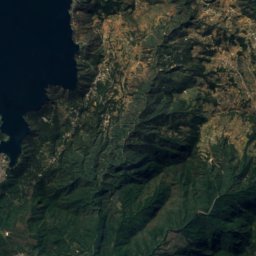
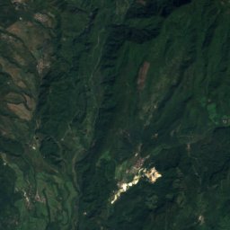
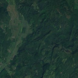
Satellit: Sentinel-2 cloudless 2016 by EOX IT Services GmbH · CC BY 4.0 · Contains modified Copernicus Sentinel data 2016
Acatenango
3.976 m · Sierra Madre de Chiapas


Satellit: Sentinel-2 cloudless 2016 by EOX IT Services GmbH · CC BY 4.0 · Contains modified Copernicus Sentinel data 2016
Volcán de Agua
3.760 m · Sierra Madre de Chiapas