본문으로 건너뛰기
여행지
날씨와 기후
자연
야외 활동
문화
행사
하늘과 실시간
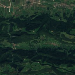
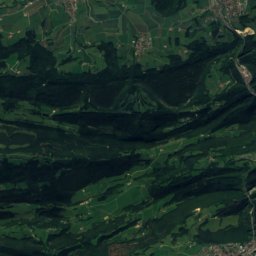
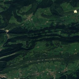
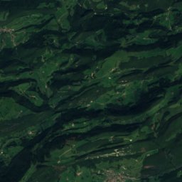
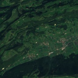
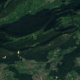
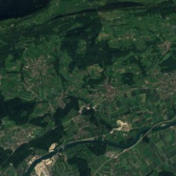
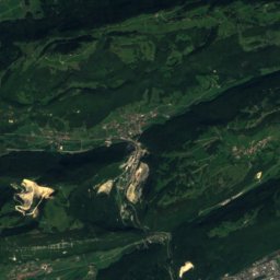
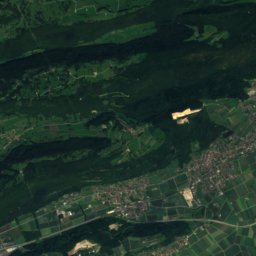
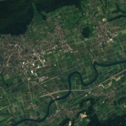
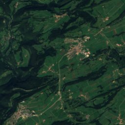
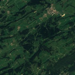
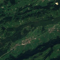
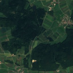
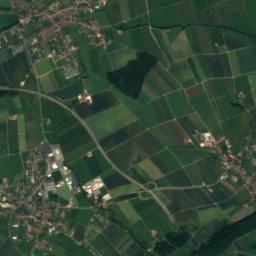
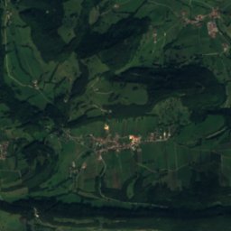
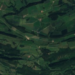
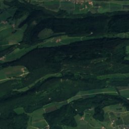
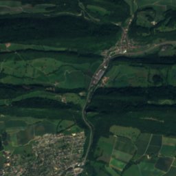
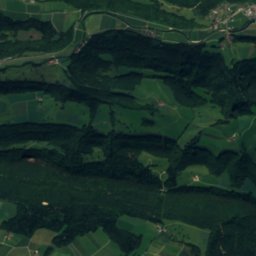
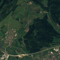
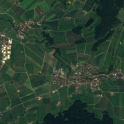
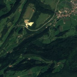
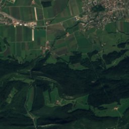
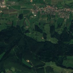
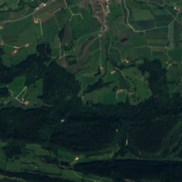
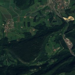
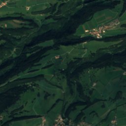
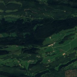
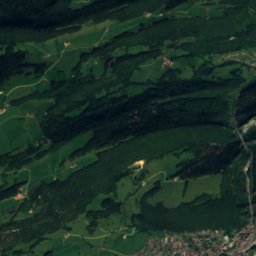
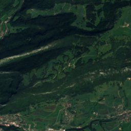
위성: Sentinel-2 cloudless 2016(EOX IT Services GmbH) · CC BY 4.0 · 수정된 Copernicus Sentinel 데이터(2016) 포함
Cave of Sainte-Colombe, archaeological site of the Bronze Age, the Roman period and the Middle Ages
사진: Adrian Michael · CC BY-SA 3.0 · Wikimedia Commons
Cave of Sainte-Colombe, archaeological site of the Bronze Age, the Roman period and the Middle Ages이 사진 신고 · 링크만, 저장 없음
Cave of Sainte-Colombe, archaeological site of the Bronze Age, the Roman period and the Middle Ages
Sorne
사진: Adrian Michael · CC BY-SA 3.0 · Wikimedia Commons
Sorne이 사진 신고 · 링크만, 저장 없음
Sorne
Scheulte
사진: Dietrich Michael Weidmann · CC BY-SA 3.0 · Wikimedia Commons
Scheulte이 사진 신고 · 링크만, 저장 없음
Scheulte
Hasenmatt
사진: Taxiarchos228 · CC BY-SA 3.0 · Wikimedia Commons
Hasenmatt이 사진 신고 · 링크만, 저장 없음
Hasenmatt
강Bassecourt, 쥐라주

Tabeillon

강최적 7월–9월
고도–해발
길이12 km발원지에서 하구까지
가장 가까운 지점Bassecourt0.9 km
북위 47.34°, 동경 7.25°UTC+1 · 중부유럽 표준시
여행 시기Bassecourt · 날씨 점수
1월2월3월4월5월6월7월8월9월10월11월12월4710월
최적 시기7월–9월
10월: 최고 / 최저15° / 6°
강

Tabeillon 개요

Tabeillon은 스위스(쥐라주)에 있는 강입니다.

가장 가까운 지점은 남서쪽으로 0.9 km 떨어진 Bassecourt입니다. 그곳의 날씨가 가장 쾌적한 달은 7월, 8월, 9월입니다.

Tabeillon의 길이는 12 km입니다.

Bassecourt: 날씨와 기후 가이드

주변의 현재 날씨

Bassecourt의 일기 예보
12°
현재 날씨: 쾌청
바람5 km/h
습도86%
구름양3%
오늘
10월 27일
18°
6°
수
10월 28일
12°
6°
4 mm
목
10월 29일
11°
4°
금
10월 30일
10°
4°
토
10월 31일
9°
2°

모델 계산 시각 00:00 UTC하루 여러 번 갱신

언제 갈까

Tabeillon: 여행하기 좋은 시기

Bassecourt의 기후

Bassecourt의 월별 평가

쾌적도, 비 없는 날, 일조 · 100점 만점
19
1월
27
2월
26
3월
51
4월
63
5월
65
6월
67
7월
66
8월
69
9월
47
10월
22
11월
18
12월
지도

Tabeillon 하늘에서

주변 자연전국
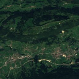
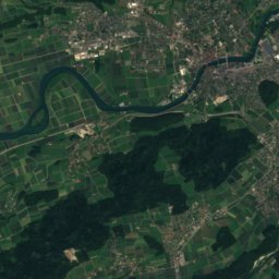
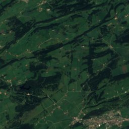
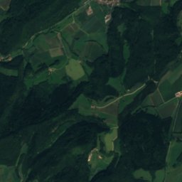
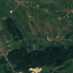
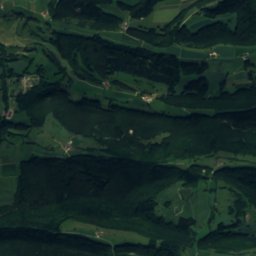
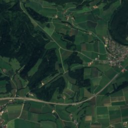
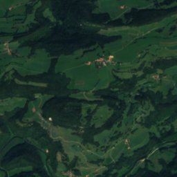
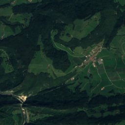
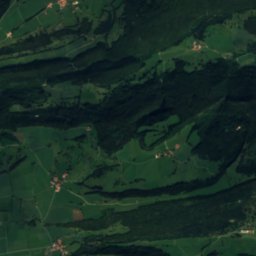
위성: Sentinel-2 cloudless 2016(EOX IT Services GmbH) · CC BY 4.0 · 수정된 Copernicus Sentinel 데이터(2016) 포함
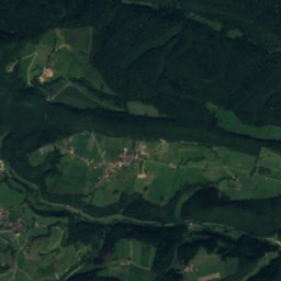
Etang des Lavoirs호수2.2 km북Etang des Lavoirs
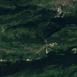
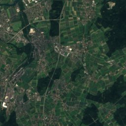
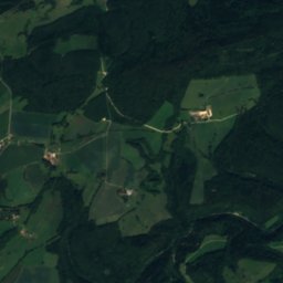
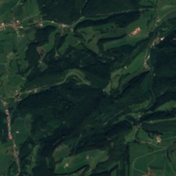
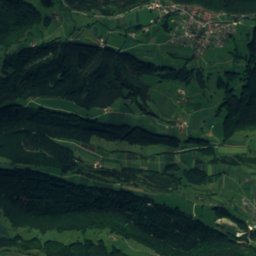
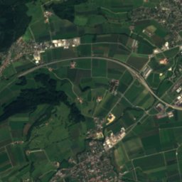
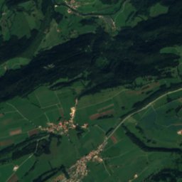
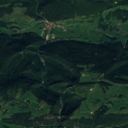
위성: Sentinel-2 cloudless 2016(EOX IT Services GmbH) · CC BY 4.0 · 수정된 Copernicus Sentinel 데이터(2016) 포함
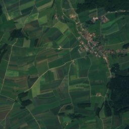
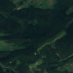
Etang Go d'Améré호수3.0 km서Etang Go d'Améré
사진: Adrian Michael · CC BY-SA 3.0 · Wikimedia Commons이 사진 신고 · 링크만, 저장 없음
Cave of Sainte-Colombe, archaeological site of the Bronze Age, the Roman period and the Middle Ages동굴4.8 km남서Cave of Sainte-Colombe, archaeological site of the Bronze Age, the Roman period and the Middle Ages
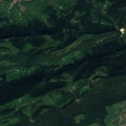
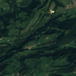
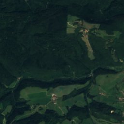
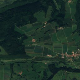
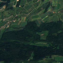
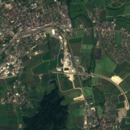
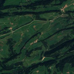
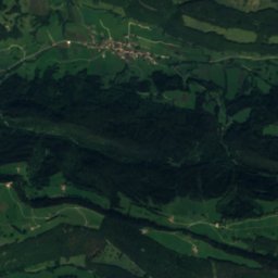
위성: Sentinel-2 cloudless 2016(EOX IT Services GmbH) · CC BY 4.0 · 수정된 Copernicus Sentinel 데이터(2016) 포함
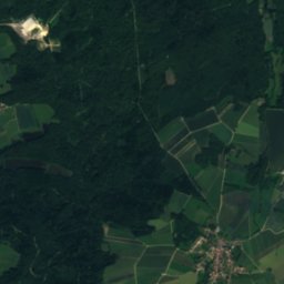
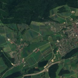
Etang de Lucelle호수8.3 km북Etang de Lucelle
사진: Adrian Michael · CC BY-SA 3.0 · Wikimedia Commons이 사진 신고 · 링크만, 저장 없음
Sorne강8.7 km동Sorne
사진: Dietrich Michael Weidmann · CC BY-SA 3.0 · Wikimedia Commons이 사진 신고 · 링크만, 저장 없음
Scheulte강9.1 km동Scheulte
주변 정상스위스의 산
사진: Taxiarchos228 · CC BY-SA 3.0 · Wikimedia Commons이 사진 신고 · 링크만, 저장 없음
Hasenmatt19 km 남동1,445 m7월 18°Hasenmatt
위성: Sentinel-2 cloudless 2016(EOX IT Services GmbH) · CC BY 4.0 · 수정된 Copernicus Sentinel 데이터(2016) 포함
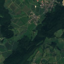
Stallflue18 km 남동1,409 m7월 19°Stallflue
사진: IqRS · CC BY-SA 3.0 · Wikimedia Commons이 사진 신고 · 링크만, 저장 없음
Grenchenberg16 km 남동1,405 m7월 18°Grenchenberg
위성: Sentinel-2 cloudless 2016(EOX IT Services GmbH) · CC BY 4.0 · 수정된 Copernicus Sentinel 데이터(2016) 포함
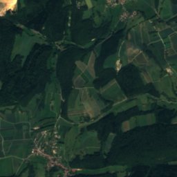
Wandflue, Solothurn17 km 남동1,399 m7월 19°Wandflue, Solothurn
사진: IqRS · CC BY-SA 3.0 · Wikimedia Commons이 사진 신고 · 링크만, 저장 없음
Röti23 km 남동1,395 m7월 19°Röti
사진: marsupium photography · CC BY-SA 2.0 · Wikimedia Commons이 사진 신고 · 링크만, 저장 없음
Weissenstein22 km 남동1,395 m7월 18°Weissenstein
근처 숙소

바로 근처의 지점

Bassecourt
사진: Ikiwaner · CC BY-SA 3.0 · Wikimedia Commons이 사진 신고 · 링크만, 저장 없음

Bassecourt

쥐라주 · 0.9 km 남서
15°10월 최고
13비 오는 날
47점수
Bassecourt
Courfaivre
사진: T.viville · CC BY-SA 3.0 · Wikimedia Commons이 사진 신고 · 링크만, 저장 없음

Courfaivre

쥐라주 · 2.4 km 남동
15°10월 최고
13비 오는 날
47점수
Courfaivre
Boécourt
사진: Dietrich Michael Weidmann · CC BY-SA 3.0 · Wikimedia Commons이 사진 신고 · 링크만, 저장 없음

Boécourt

쥐라주 · 2.9 km 서
14°10월 최고
13비 오는 날
44점수
Boécourt
Glovelier
사진: Dietrich Michael Weidmann · CC BY-SA 3.0 · Wikimedia Commons이 사진 신고 · 링크만, 저장 없음

Glovelier

쥐라주 · 3.7 km 서
15°10월 최고
13비 오는 날
46점수
Glovelier
주변

Bassecourt 일대

Bassecourt
사진: Ikiwaner · CC BY-SA 3.0 · Wikimedia Commons이 사진 신고 · 링크만, 저장 없음

Bassecourt

쥐라주 · 스위스
7월–9월여행 적기
25°7월 최고 기온
477 m고도
Bassecourt

자연

Sorne
사진: Adrian Michael · CC BY-SA 3.0 · Wikimedia Commons이 사진 신고 · 링크만, 저장 없음
9.6 km 동

Sorne

강
Sorne
Scheulte
사진: Dietrich Michael Weidmann · CC BY-SA 3.0 · Wikimedia Commons이 사진 신고 · 링크만, 저장 없음
9.9 km 동

Scheulte

강
Scheulte
위성: Sentinel-2 cloudless 2016(EOX IT Services GmbH) · CC BY 4.0 · 수정된 Copernicus Sentinel 데이터(2016) 포함
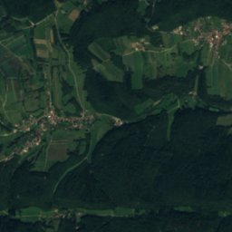
9.9 km 북서

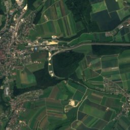
Etang de la Montoie

호수 · 499 m
Etang de la Montoie

산

Chasseral
사진: Paebi · CC BY-SA 3.0 · Wikimedia Commons이 사진 신고 · 링크만, 저장 없음
27 km 남서

Chasseral

1,607 m · 쥐라산맥
Chasseral
위성: Sentinel-2 cloudless 2016(EOX IT Services GmbH) · CC BY 4.0 · 수정된 Copernicus Sentinel 데이터(2016) 포함
26 km 남서

Petit Chasseral

1,571 m
Petit Chasseral
Chasseral Ouest
사진: StFr · CC0 · Wikimedia Commons이 사진 신고 · 링크만, 저장 없음
29 km 남서

Chasseral Ouest

1,552 m · 쥐라산맥
Chasseral Ouest

유산

Former Premonstratensian Abbey and Abbey Church
사진: Lutz Fischer-Lamprecht · CC BY-SA 4.0 · Wikimedia Commons이 사진 신고 · 링크만, 저장 없음
10 km 남서

Former Premonstratensian Abbey and Abbey Church

1101
Former Premonstratensian Abbey and Abbey Church
Le Chicago
사진: Rudolf H. Boettcher · CC BY-SA 4.0 · Wikimedia Commons이 사진 신고 · 링크만, 저장 없음
12 km 남동

Le Chicago

1904
Le Chicago
들레몽역
사진: Pelerin · CC BY-SA 3.0 · Wikimedia Commons이 사진 신고 · 링크만, 저장 없음
8.4 km 동

들레몽역

1875
들레몽역

박물관·미술관

위성: Sentinel-2 cloudless 2016(EOX IT Services GmbH) · CC BY 4.0 · 수정된 Copernicus Sentinel 데이터(2016) 포함
3.1 km 북

La Balade de Séprais

조각 정원 · 1993
La Balade de Séprais
Museum of art and history of the Jura (collection)
사진: Pelerin · CC BY-SA 3.0 · Wikimedia Commons이 사진 신고 · 링크만, 저장 없음
8.0 km 동

Museum of art and history of the Jura (collection)

미술관
Museum of art and history of the Jura (collection)
위성: Sentinel-2 cloudless 2016(EOX IT Services GmbH) · CC BY 4.0 · 수정된 Copernicus Sentinel 데이터(2016) 포함
4.0 km 북동

Musée Chappuis-Fähndrich

향토 박물관
Musée Chappuis-Fähndrich