본문으로 건너뛰기
여행지
날씨와 기후
자연
야외 활동
문화
행사
하늘과 실시간
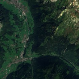
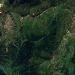
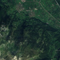
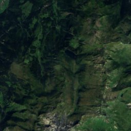
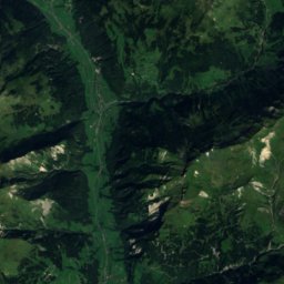
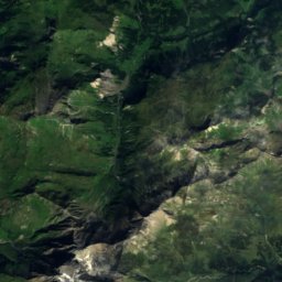
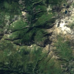
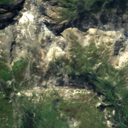
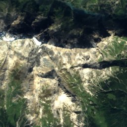
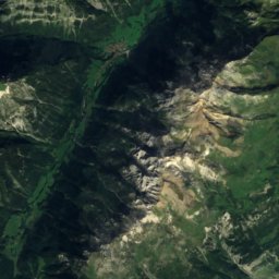
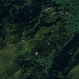
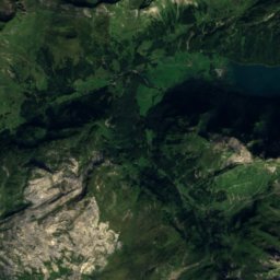
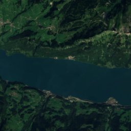
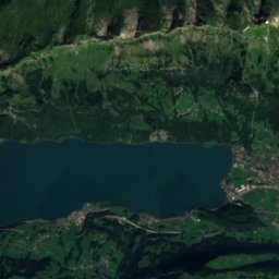
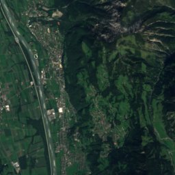
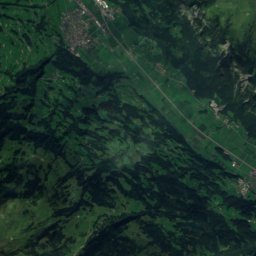
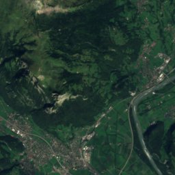
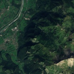
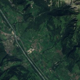
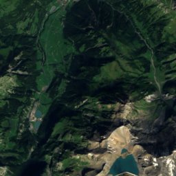
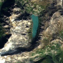
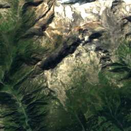
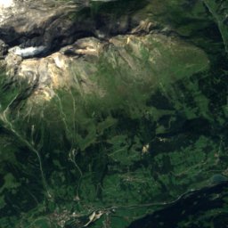
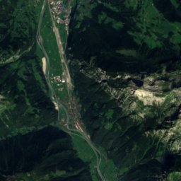
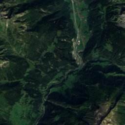
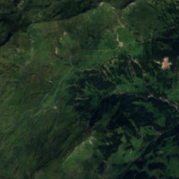
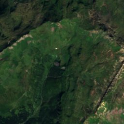
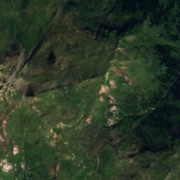
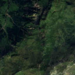
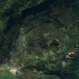
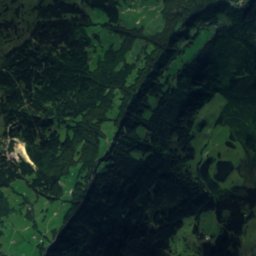
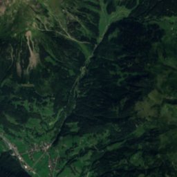
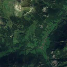
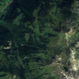
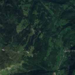
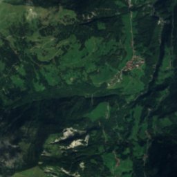
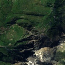
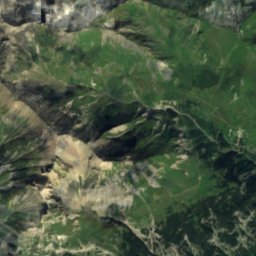
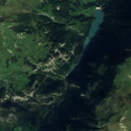
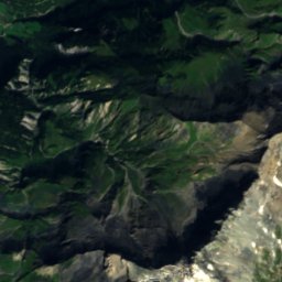
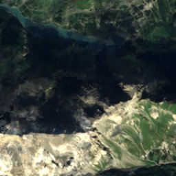
위성: Sentinel-2 cloudless 2016(EOX IT Services GmbH) · CC BY 4.0 · 수정된 Copernicus Sentinel 데이터(2016) 포함
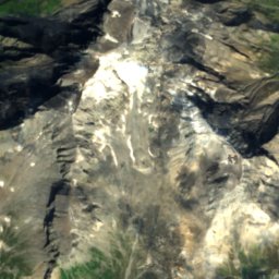
Isengrindfall
사진: PantaRhei · CC BY-SA 4.0 · Wikimedia Commons
Isengrindfall이 사진 신고 · 링크만, 저장 없음
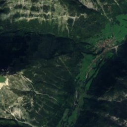
Isengrindfall
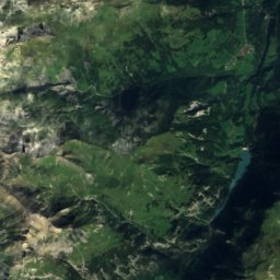
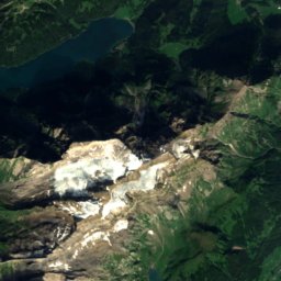
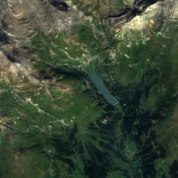
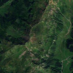
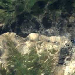
Heubützlisee
사진: Oliylkaeng · CC BY-SA 4.0 · Wikimedia Commons
Heubützlisee이 사진 신고 · 링크만, 저장 없음
Heubützlisee
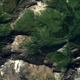
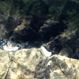
Ringelspitz
사진: Nicolas Zogg · CC BY-SA 3.0 · Wikimedia Commons
Ringelspitz이 사진 신고 · 링크만, 저장 없음
Ringelspitz
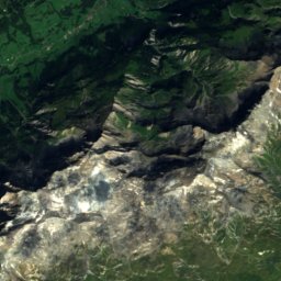
Hausstock
사진: böhringer friedrich · CC BY-SA 2.5 · Wikimedia Commons
Hausstock이 사진 신고 · 링크만, 저장 없음
Hausstock
폭포Matt, 글라루스주

Scheubsbachfall

폭포최적 6월–8월
고도–해발
낙차–폭포
가장 가까운 지점Matt10 km
북위 46.97°, 동경 9.31°UTC+1 · 중부유럽 표준시
여행 시기Matt · 날씨 점수
1월2월3월4월5월6월7월8월9월10월11월12월3910월
최적 시기6월–8월
10월: 최고 / 최저14° / 5°
폭포

Scheubsbachfall 개요

Scheubsbachfall은 스위스(글라루스주)에 있는 폭포입니다.

가장 가까운 지점은 서쪽으로 10 km 떨어진 Matt입니다. 그곳의 날씨가 가장 쾌적한 달은 6월, 7월, 8월입니다.

Matt: 날씨와 기후 가이드

주변의 현재 날씨

Matt의 일기 예보
8°
현재 날씨: 비
바람9 km/h
습도85%
구름양100%
오늘
10월 25일
8°
4°
22 mm
월
10월 26일
11°
-2°
화
10월 27일
17°
8°
수
10월 28일
12°
9°
1 mm
목
10월 29일
15°
6°

모델 계산 시각 00:00 UTC하루 여러 번 갱신

언제 갈까

Scheubsbachfall: 여행하기 좋은 시기

Matt의 기후

Matt의 월별 평가

쾌적도, 비 없는 날, 일조 · 100점 만점
20
1월
22
2월
19
3월
32
4월
56
5월
60
6월
62
7월
61
8월
59
9월
39
10월
18
11월
18
12월
지도

Scheubsbachfall 하늘에서

주변 자연전국
위성: Sentinel-2 cloudless 2016(EOX IT Services GmbH) · CC BY 4.0 · 수정된 Copernicus Sentinel 데이터(2016) 포함
Hohbachfall폭포1.7 km북동Hohbachfall
사진: PantaRhei · CC BY-SA 4.0 · Wikimedia Commons이 사진 신고 · 링크만, 저장 없음
Isengrindfall폭포2.9 km남서Isengrindfall
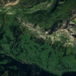
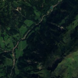
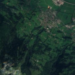
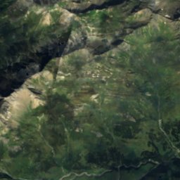
위성: Sentinel-2 cloudless 2016(EOX IT Services GmbH) · CC BY 4.0 · 수정된 Copernicus Sentinel 데이터(2016) 포함
Unterer Mattbachfall폭포3.3 km서Unterer Mattbachfall
사진: Oliylkaeng · CC BY-SA 4.0 · Wikimedia Commons이 사진 신고 · 링크만, 저장 없음
Heubützlisee호수3.4 km남Heubützlisee
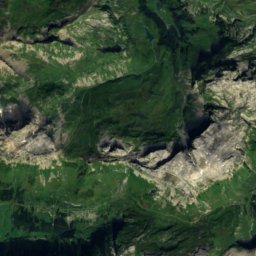
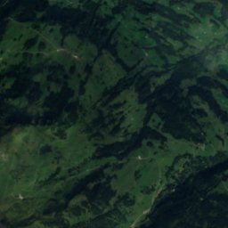
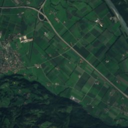
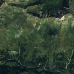
위성: Sentinel-2 cloudless 2016(EOX IT Services GmbH) · CC BY 4.0 · 수정된 Copernicus Sentinel 데이터(2016) 포함
Muttenbachfall폭포3.8 km남동Muttenbachfall
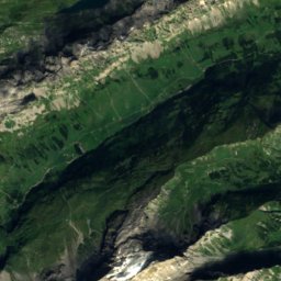
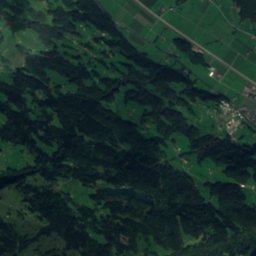
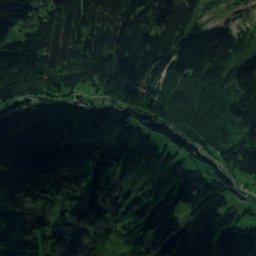
위성: Sentinel-2 cloudless 2016(EOX IT Services GmbH) · CC BY 4.0 · 수정된 Copernicus Sentinel 데이터(2016) 포함
Mattbachfall, Glarus폭포3.9 km서Mattbachfall, Glarus
주변 정상스위스의 산
사진: Nicolas Zogg · CC BY-SA 3.0 · Wikimedia Commons이 사진 신고 · 링크만, 저장 없음
Ringelspitz8.8 km 남3,247 m7월 6°Ringelspitz
사진: böhringer friedrich · CC BY-SA 2.5 · Wikimedia Commons이 사진 신고 · 링크만, 저장 없음
Hausstock21 km 남서3,158 m7월 7°Hausstock
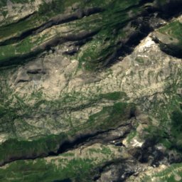
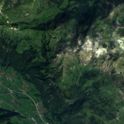
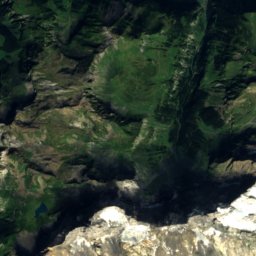
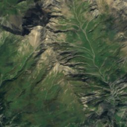
위성: Sentinel-2 cloudless 2016(EOX IT Services GmbH) · CC BY 4.0 · 수정된 Copernicus Sentinel 데이터(2016) 포함
Glaserhorn8.2 km 남3,128 m7월 8°Glaserhorn
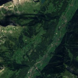
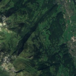
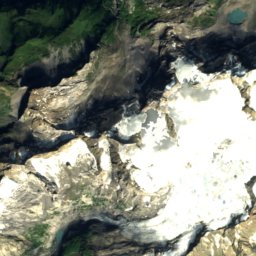
위성: Sentinel-2 cloudless 2016(EOX IT Services GmbH) · CC BY 4.0 · 수정된 Copernicus Sentinel 데이터(2016) 포함
Piz da Sterls8.0 km 남3,114 m7월 7°Piz da Sterls
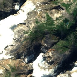
위성: Sentinel-2 cloudless 2016(EOX IT Services GmbH) · CC BY 4.0 · 수정된 Copernicus Sentinel 데이터(2016) 포함
Tristelhorn8.0 km 남3,114 m7월 7°Tristelhorn
사진: Wala · CC BY-SA 3.0 · Wikimedia Commons이 사진 신고 · 링크만, 저장 없음
Ruchi23 km 남서3,107 m7월 6°Ruchi
근처 숙소

바로 근처의 지점

Matt
사진: Roland Zumbuehl · CC BY 3.0 · Wikimedia Commons이 사진 신고 · 링크만, 저장 없음

Matt

글라루스주 · 10 km 서
14°10월 최고
13비 오는 날
39점수
Matt
위성: Sentinel-2 cloudless 2016(EOX IT Services GmbH) · CC BY 4.0 · 수정된 Copernicus Sentinel 데이터(2016) 포함

Engi

글라루스주 · 12 km 서
14°10월 최고
13비 오는 날
39점수
Engi
Elm
사진: Rudolf H. Boettcher · CC BY-SA 4.0 · Wikimedia Commons이 사진 신고 · 링크만, 저장 없음

Elm

글라루스주 · 12 km 남서
13°10월 최고
13비 오는 날
36점수
Elm
위성: Sentinel-2 cloudless 2016(EOX IT Services GmbH) · CC BY 4.0 · 수정된 Copernicus Sentinel 데이터(2016) 포함
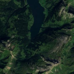
Mels

장크트갈렌주 · 12 km 북동
16°10월 최고
13비 오는 날
53점수
Mels
주변

Matt 일대

Matt
사진: Roland Zumbuehl · CC BY 3.0 · Wikimedia Commons이 사진 신고 · 링크만, 저장 없음

Matt

글라루스주 · 스위스
6월–8월여행 적기
23°7월 최고 기온
848 m고도
Matt

자연

Garichtisee
사진: Moritz Schmaltz · CC BY-SA 2.0 · Wikimedia Commons이 사진 신고 · 링크만, 저장 없음
5.4 km 서

Garichtisee

호수
Garichtisee
Chüebodensee
사진: Wandervogel · CC BY 3.0 · Wikimedia Commons이 사진 신고 · 링크만, 저장 없음
3.8 km 남서

Chüebodensee

호수 · 2,046 m
Chüebodensee
Vorab Glacier
사진: Caumasee · CC BY-SA 3.0 · Wikimedia Commons이 사진 신고 · 링크만, 저장 없음
9.0 km 남

Vorab Glacier

빙하
Vorab Glacier

산

퇴디
사진: Carsten Steger · CC BY-SA 4.0 · Wikimedia Commons이 사진 신고 · 링크만, 저장 없음
26 km 남서

퇴디

3,612 m
퇴디
위성: Sentinel-2 cloudless 2016(EOX IT Services GmbH) · CC BY 4.0 · 수정된 Copernicus Sentinel 데이터(2016) 포함
25 km 남서

Glarner Tödi

3,568 m
Glarner Tödi
위성: Sentinel-2 cloudless 2016(EOX IT Services GmbH) · CC BY 4.0 · 수정된 Copernicus Sentinel 데이터(2016) 포함
26 km 남서

Piz Dado, Rabius

3,432 m
Piz Dado, Rabius

유산

Reformierte Kirche Matt
사진: Roland Zumbuehl · CC BY 3.0 · Wikimedia Commons이 사진 신고 · 링크만, 저장 없음
0.4 km 북

Reformierte Kirche Matt

Reformierte Kirche Matt
글라루스
사진: Ikiwaner · CC BY-SA 3.0 · Wikimedia Commons이 사진 신고 · 링크만, 저장 없음
11 km 북서

글라루스

2011
글라루스
Ennenda
사진: Dietrich Michael Weidmann · CC BY-SA 3.0 · Wikimedia Commons이 사진 신고 · 링크만, 저장 없음
11 km 북서

Ennenda

Ennenda

박물관·미술관

위성: Sentinel-2 cloudless 2016(EOX IT Services GmbH) · CC BY 4.0 · 수정된 Copernicus Sentinel 데이터(2016) 포함
3.3 km 북서

Natural Science Collections of the Canton of Glarus

과학 박물관
Natural Science Collections of the Canton of Glarus
Kunsthaus Glarus (institution)
사진: Ernst Ludwig Kirchner · Public domain · Wikimedia Commons이 사진 신고 · 링크만, 저장 없음
12 km 북서

Kunsthaus Glarus (institution)

미술관
Kunsthaus Glarus (institution)
Historical Inventory of the Slate Factory (museum)
사진: Paebi · CC BY-SA 4.0 · Wikimedia Commons이 사진 신고 · 링크만, 저장 없음
4.7 km 남

Historical Inventory of the Slate Factory (museum)

향토 박물관
Historical Inventory of the Slate Factory (museum)