본문으로 건너뛰기
여행지
날씨와 기후
자연
야외 활동
문화
행사
하늘과 실시간
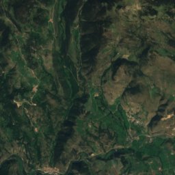
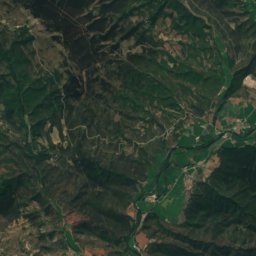
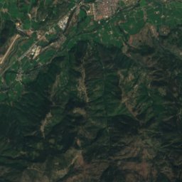
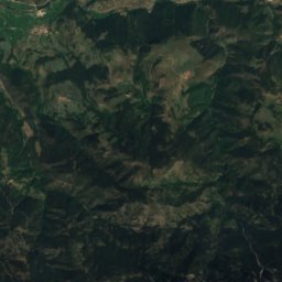
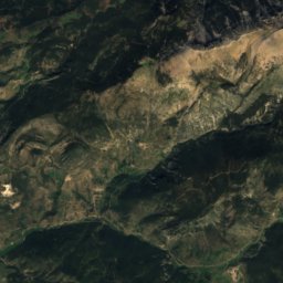
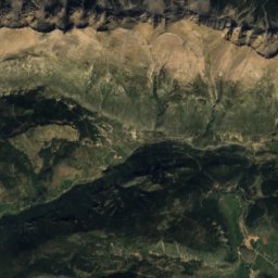
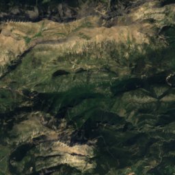
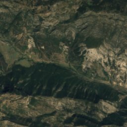
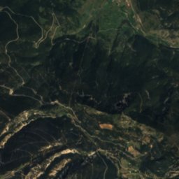
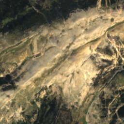
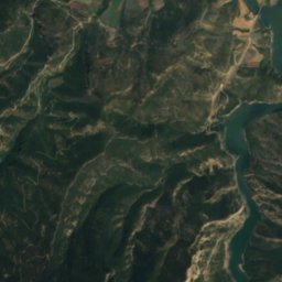
위성: Sentinel-2 cloudless 2016(EOX IT Services GmbH) · CC BY 4.0 · 수정된 Copernicus Sentinel 데이터(2016) 포함
L’Estany de Pratmajor
사진: Isidre blanc · CC BY-SA 3.0 · Wikimedia Commons
L’Estany de Pratmajor이 사진 신고 · 링크만, 저장 없음
L’Estany de Pratmajor
Torreta de Cadí
사진: Pasdeguia · CC BY-SA 3.0 · Wikimedia Commons
Torreta de Cadí이 사진 신고 · 링크만, 저장 없음
Torreta de Cadí
Pedró dels Quatre Batlles
사진: Isidre blanc · CC BY-SA 3.0 · Wikimedia Commons
Pedró dels Quatre Batlles이 사진 신고 · 링크만, 저장 없음
Pedró dels Quatre Batlles
동굴Coll de Nargó, 카탈루냐

els Esquerps

동굴최적 4월 · 9월–10월
고도–해발
동굴 내부14°C연중
가장 가까운 지점Coll de Nargó6.3 km
북위 42.15°, 동경 1.39°UTC+1 · 중부유럽 표준시
여행 시기Coll de Nargó · 날씨 점수
1월2월3월4월5월6월7월8월9월10월11월12월7510월
최적 시기4월 · 9월–10월
10월: 최고 / 최저21° / 8°
동굴

els Esquerps 개요

els Esquerps는 스페인(카탈루냐)에 있는 동굴입니다.

가장 가까운 지점은 북서쪽으로 6.3 km 떨어진 Coll de Nargó입니다. 그곳의 날씨가 가장 쾌적한 달은 4월, 9월, 10월입니다.

동굴 내부는 일 년 내내 바깥 공기의 연평균 기온에 가까워, 약 14°C입니다.

Coll de Nargó: 날씨와 기후 가이드

주변의 현재 날씨

Coll de Nargó의 일기 예보
10°
현재 날씨: 흐림
바람6 km/h
습도99%
구름양98%
오늘
10월 31일
20°
8°
일
11월 1일
24°
4°
월
11월 2일
20°
4°
화
11월 3일
12°
3°
5 mm
수
11월 4일
9°
4°
21 mm

모델 계산 시각 12:00 UTC하루 여러 번 갱신

언제 갈까

els Esquerps: 여행하기 좋은 시기

Coll de Nargó의 기후

Coll de Nargó의 월별 평가

쾌적도, 비 없는 날, 일조 · 100점 만점
35
1월
49
2월
67
3월
70
4월
68
5월
63
6월
51
7월
52
8월
72
9월
75
10월
55
11월
38
12월
지도

els Esquerps 하늘에서

주변 자연전국
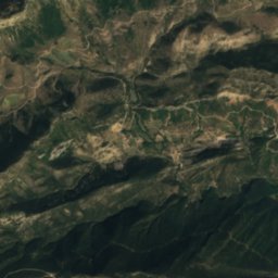
위성: Sentinel-2 cloudless 2016(EOX IT Services GmbH) · CC BY 4.0 · 수정된 Copernicus Sentinel 데이터(2016) 포함
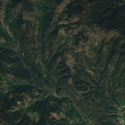
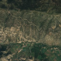
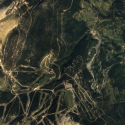
Espluga-rúbia동굴1.7 km남동Espluga-rúbia
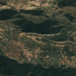
위성: Sentinel-2 cloudless 2016(EOX IT Services GmbH) · CC BY 4.0 · 수정된 Copernicus Sentinel 데이터(2016) 포함
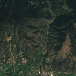
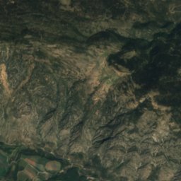
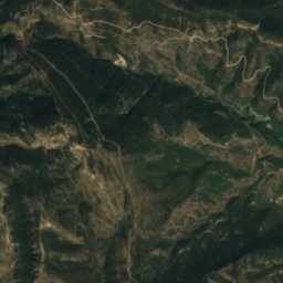
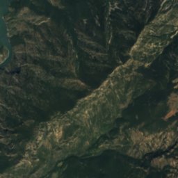
Espluga de la Guineu동굴1.9 km남동Espluga de la Guineu
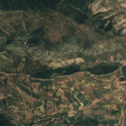
위성: Sentinel-2 cloudless 2016(EOX IT Services GmbH) · CC BY 4.0 · 수정된 Copernicus Sentinel 데이터(2016) 포함
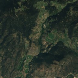
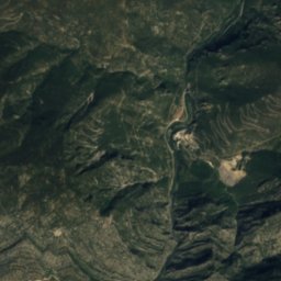
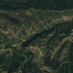
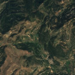
les Fosses동굴4.4 km남les Fosses
위성: Sentinel-2 cloudless 2016(EOX IT Services GmbH) · CC BY 4.0 · 수정된 Copernicus Sentinel 데이터(2016) 포함
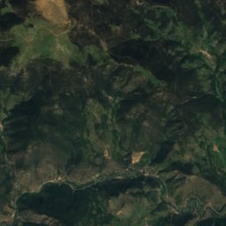
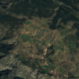
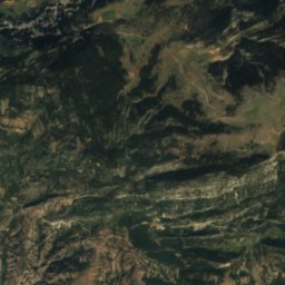
Grallera de Cambrils동굴4.4 km동Grallera de Cambrils
위성: Sentinel-2 cloudless 2016(EOX IT Services GmbH) · CC BY 4.0 · 수정된 Copernicus Sentinel 데이터(2016) 포함
Espluga de Cels동굴5.1 km북Espluga de Cels
사진: Isidre blanc · CC BY-SA 3.0 · Wikimedia Commons이 사진 신고 · 링크만, 저장 없음
L’Estany de Pratmajor호수5.2 km동L’Estany de Pratmajor
주변 정상스페인의 산
사진: Pasdeguia · CC BY-SA 3.0 · Wikimedia Commons이 사진 신고 · 링크만, 저장 없음
Torreta de Cadí22 km 북동2,562 m7월 15°Torreta de Cadí
위성: Sentinel-2 cloudless 2016(EOX IT Services GmbH) · CC BY 4.0 · 수정된 Copernicus Sentinel 데이터(2016) 포함
Roca Grossa, Arsèguel24 km 북동2,474 m7월 15°Roca Grossa, Arsèguel
위성: Sentinel-2 cloudless 2016(EOX IT Services GmbH) · CC BY 4.0 · 수정된 Copernicus Sentinel 데이터(2016) 포함
Roca del Viladre24 km 북동2,452 m7월 16°Roca del Viladre
위성: Sentinel-2 cloudless 2016(EOX IT Services GmbH) · CC BY 4.0 · 수정된 Copernicus Sentinel 데이터(2016) 포함
Cap de la Costa21 km 북동2,436 m7월 17°Cap de la Costa
위성: Sentinel-2 cloudless 2016(EOX IT Services GmbH) · CC BY 4.0 · 수정된 Copernicus Sentinel 데이터(2016) 포함
Roca del Mig24 km 북동2,389 m7월 16°Roca del Mig
사진: Isidre blanc · CC BY-SA 3.0 · Wikimedia Commons이 사진 신고 · 링크만, 저장 없음
Pedró dels Quatre Batlles12 km 동2,387 m7월 16°Pedró dels Quatre Batlles
근처 숙소

바로 근처의 지점

Coll de Nargó
사진: MarisaLR · CC BY 3.0 · Wikimedia Commons이 사진 신고 · 링크만, 저장 없음

Coll de Nargó

카탈루냐 · 6.3 km 북서
21°10월 최고
11비 오는 날
75점수
Coll de Nargó
Organyà
사진: Queralt jqmj · CC BY-SA 2.0 · Wikimedia Commons이 사진 신고 · 링크만, 저장 없음

Organyà

카탈루냐 · 8.6 km 북서
21°10월 최고
11비 오는 날
75점수
Organyà
Oliana
사진: Pere López · CC BY-SA 3.0 · Wikimedia Commons이 사진 신고 · 링크만, 저장 없음

Oliana

카탈루냐 · 11 km 남서
21°10월 최고
11비 오는 날
75점수
Oliana
Peramola
사진: Pallares1 · CC BY-SA 3.0 · Wikimedia Commons이 사진 신고 · 링크만, 저장 없음

Peramola

카탈루냐 · 14 km 남서
21°10월 최고
11비 오는 날
74점수
Peramola
주변

Coll de Nargó 일대

Coll de Nargó
사진: MarisaLR · CC BY 3.0 · Wikimedia Commons이 사진 신고 · 링크만, 저장 없음

Coll de Nargó

카탈루냐 · 스페인
4월 · 9월–10월여행 적기
32°7월 최고 기온
582 m고도
Coll de Nargó

자연

Oliana Reservoir
사진: Eiffel1899 · CC BY-SA 3.0 · Wikimedia Commons이 사진 신고 · 링크만, 저장 없음
8.6 km 남

Oliana Reservoir

호수 · 518 m
Oliana Reservoir
Roc de Rumbau
사진: Isidre blanc · CC BY-SA 4.0 · Wikimedia Commons이 사진 신고 · 링크만, 저장 없음
11 km 남

Roc de Rumbau

동굴
Roc de Rumbau
L’Estany de Pratmajor
사진: Isidre blanc · CC BY-SA 3.0 · Wikimedia Commons이 사진 신고 · 링크만, 저장 없음
11 km 동

L’Estany de Pratmajor

호수 · 1,769 m
L’Estany de Pratmajor

산

Pic de Salòria
사진: Siboccc · CC BY-SA 3.0 · Wikimedia Commons이 사진 신고 · 링크만, 저장 없음
38 km 북

Pic de Salòria

2,789 m · 피레네산맥
Pic de Salòria
La Torre de Cabús
사진: Simonjoan · CC BY-SA 4.0 · Wikimedia Commons이 사진 신고 · 링크만, 저장 없음
40 km 북

La Torre de Cabús

2,778 m
La Torre de Cabús
Bassiets
사진: Simonjoan · CC BY-SA 4.0 · Wikimedia Commons이 사진 신고 · 링크만, 저장 없음
40 km 북

Bassiets

2,762 m · 피레네산맥
Bassiets

유산

위성: Sentinel-2 cloudless 2016(EOX IT Services GmbH) · CC BY 4.0 · 수정된 Copernicus Sentinel 데이터(2016) 포함
100m 미만 서

Sant Climent de Nargó Nou

Sant Climent de Nargó Nou
위성: Sentinel-2 cloudless 2016(EOX IT Services GmbH) · CC BY 4.0 · 수정된 Copernicus Sentinel 데이터(2016) 포함
0.5 km 남서

San Climent de Coll de Nargó

스페인 중요문화유산
San Climent de Coll de Nargó
위성: Sentinel-2 cloudless 2016(EOX IT Services GmbH) · CC BY 4.0 · 수정된 Copernicus Sentinel 데이터(2016) 포함
100m 미만 북동

Muralles de Coll de Nargó

Muralles de Coll de Nargó

박물관·미술관

위성: Sentinel-2 cloudless 2016(EOX IT Services GmbH) · CC BY 4.0 · 수정된 Copernicus Sentinel 데이터(2016) 포함
0.1 km 북

Museo de los Almadieros

1998
Museo de los Almadieros
위성: Sentinel-2 cloudless 2016(EOX IT Services GmbH) · CC BY 4.0 · 수정된 Copernicus Sentinel 데이터(2016) 포함
0.4 km 서

Centre Paleoambiental Dinosfera

Centre Paleoambiental Dinosfera