

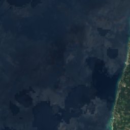
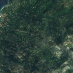
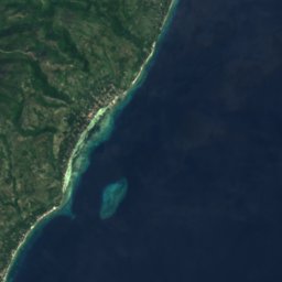



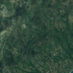
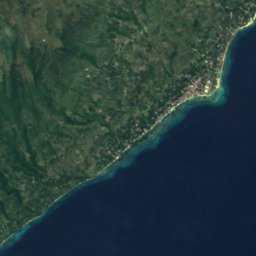


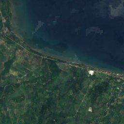
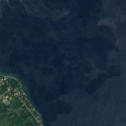
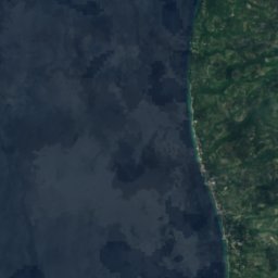
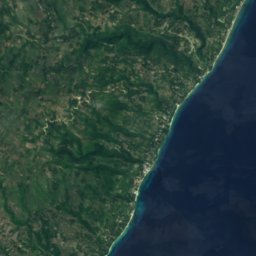




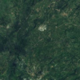
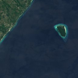




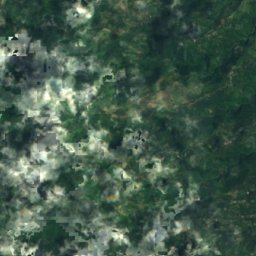
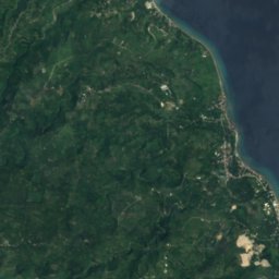
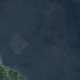






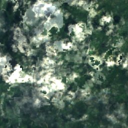
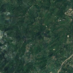
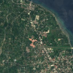
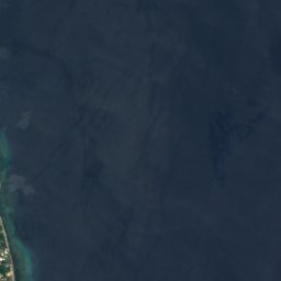





위성: Sentinel-2 cloudless 2016(EOX IT Services GmbH) · CC BY 4.0 · 수정된 Copernicus Sentinel 데이터(2016) 포함
 Lake Danao (Negros)

사진: Mike Gonzalez (TheCoffee) · CC BY-SA 3.0 · Wikimedia Commons
Lake Balinsasayao이 사진 신고 · 링크만, 저장 없음
Lake BalinsasayaoLake Balinsasayao이 사진 신고 · 링크만, 저장 없음
섬Santander Poblacion, Central Visayas
Sumilon
섬해발 35 m최적 2월–4월
고도35 m해발
면적0.2 km²총면적
가장 가까운 지점Santander Poblacion5.6 km
북위 9.43°, 동경 123.39°고도 35 mUTC+8 · 필리핀 표준시
여행 시기Santander Poblacion · 날씨 점수
최적 시기2월–4월
10월: 최고 / 최저28° / 25°
섬
Sumilon 개요
Sumilon은 필리핀(Central Visayas)에 있는 섬입니다.
해발 35 m, 면적 약 0.2 km²입니다.
가장 가까운 지점은 서쪽으로 5.6 km 떨어진 Santander Poblacion입니다. 그곳의 날씨가 가장 쾌적한 달은 2월, 3월, 4월입니다.
주변의 현재 날씨
Santander Poblacion의 일기 예보28°
현재 날씨: 비
오늘
10월 24일
29°
27°
8 mm
일
10월 25일
28°
26°
12 mm
월
10월 26일
29°
27°
8 mm
화
10월 27일
30°
27°
4 mm
수
10월 28일
30°
27°
3 mm
모델 계산 시각 12:00 UTC하루 여러 번 갱신
지도
Sumilon 하늘에서
주변 자연전국
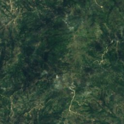
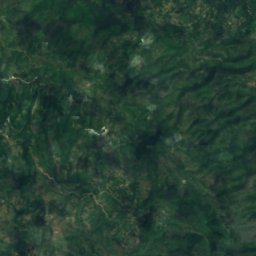
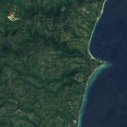


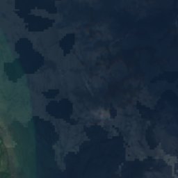
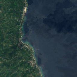
위성: Sentinel-2 cloudless 2016(EOX IT Services GmbH) · CC BY 4.0 · 수정된 Copernicus Sentinel 데이터(2016) 포함






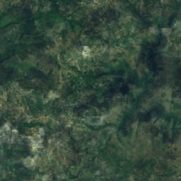
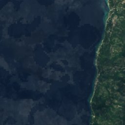
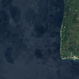
위성: Sentinel-2 cloudless 2016(EOX IT Services GmbH) · CC BY 4.0 · 수정된 Copernicus Sentinel 데이터(2016) 포함


근처 숙소
바로 근처의 지점


주변
Santander Poblacion 일대
자연
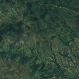
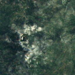
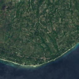
위성: Sentinel-2 cloudless 2016(EOX IT Services GmbH) · CC BY 4.0 · 수정된 Copernicus Sentinel 데이터(2016) 포함
Iuisan Shoal
섬


