




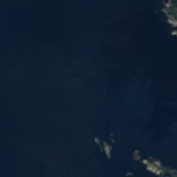





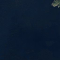





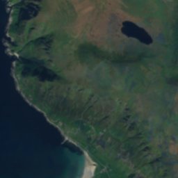






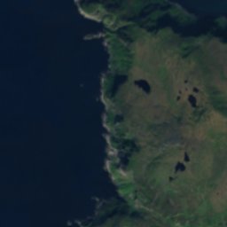
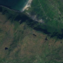
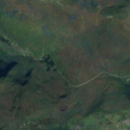






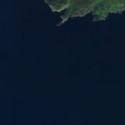









위성: Sentinel-2 cloudless 2016(EOX IT Services GmbH) · CC BY 4.0 · 수정된 Copernicus Sentinel 데이터(2016) 포함

사진: Original photo: Svein-Magne Tunli - tunliweb.no (no credit needed for the croppi · CC BY-SA 4.0 · Wikimedia Commons
Veten, Måløy이 사진 신고 · 링크만, 저장 없음
Veten, MåløyVeten, Måløy이 사진 신고 · 링크만, 저장 없음
섬Hoddevik, 베스틀란주
Meflua, Hoddevik
섬최적 7월–9월
고도–해발
면적–총면적
가장 가까운 지점Hoddevik6.4 km
북위 62.11°, 동경 5.04°UTC+1 · 중부유럽 표준시
여행 시기Hoddevik · 날씨 점수
최적 시기7월–9월
10월: 최고 / 최저11° / 7°
섬
Meflua, Hoddevik 개요
Meflua, Hoddevik는 노르웨이(베스틀란주)에 있는 섬입니다.
가장 가까운 지점은 동쪽으로 6.4 km 떨어진 Hoddevik입니다. 그곳의 날씨가 가장 쾌적한 달은 7월, 8월, 9월입니다.
주변의 현재 날씨
Hoddevik의 일기 예보13°
현재 날씨: 구름 조금
오늘
10월 25일
15°
7°
2 mm
월
10월 26일
11°
7°
11 mm
화
10월 27일
15°
8°
16 mm
수
10월 28일
11°
8°
23 mm
목
10월 29일
12°
6°
5 mm
모델 계산 시각 00:00 UTC하루 여러 번 갱신
언제 갈까
Hoddevik의 기후Meflua, Hoddevik: 여행하기 좋은 시기
Hoddevik의 월별 평가
쾌적도, 비 없는 날, 일조 · 100점 만점14
1월
14
2월
15
3월
20
4월
27
5월
37
6월
48
7월
52
8월
41
9월
22
10월
15
11월
14
12월
지도
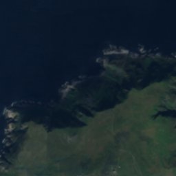
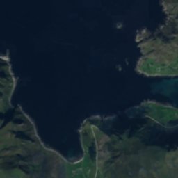
Meflua, Hoddevik 하늘에서
주변 자연전국
위성: Sentinel-2 cloudless 2016(EOX IT Services GmbH) · CC BY 4.0 · 수정된 Copernicus Sentinel 데이터(2016) 포함
위성: Sentinel-2 cloudless 2016(EOX IT Services GmbH) · CC BY 4.0 · 수정된 Copernicus Sentinel 데이터(2016) 포함
위성: Sentinel-2 cloudless 2016(EOX IT Services GmbH) · CC BY 4.0 · 수정된 Copernicus Sentinel 데이터(2016) 포함
위성: Sentinel-2 cloudless 2016(EOX IT Services GmbH) · CC BY 4.0 · 수정된 Copernicus Sentinel 데이터(2016) 포함
위성: Sentinel-2 cloudless 2016(EOX IT Services GmbH) · CC BY 4.0 · 수정된 Copernicus Sentinel 데이터(2016) 포함
위성: Sentinel-2 cloudless 2016(EOX IT Services GmbH) · CC BY 4.0 · 수정된 Copernicus Sentinel 데이터(2016) 포함
주변 정상노르웨이의 산
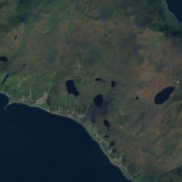
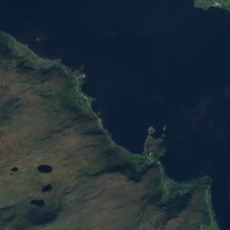
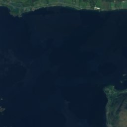
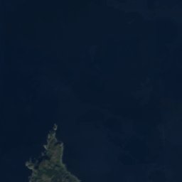
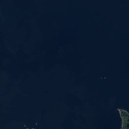
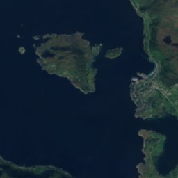
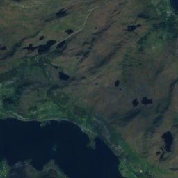
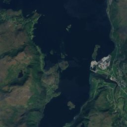
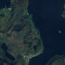
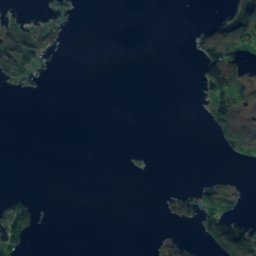
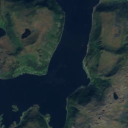
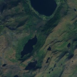
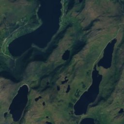
위성: Sentinel-2 cloudless 2016(EOX IT Services GmbH) · CC BY 4.0 · 수정된 Copernicus Sentinel 데이터(2016) 포함
사진: Original photo: Svein-Magne Tunli - tunliweb.no (no credit needed for the croppi · CC BY-SA 4.0 · Wikimedia Commons이 사진 신고 · 링크만, 저장 없음
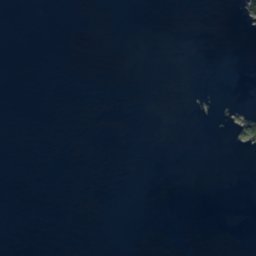
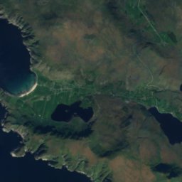
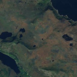
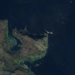
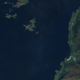

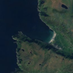
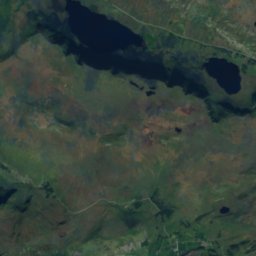
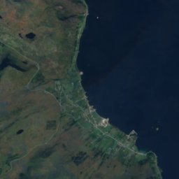
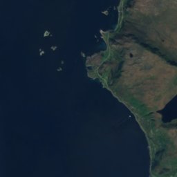

위성: Sentinel-2 cloudless 2016(EOX IT Services GmbH) · CC BY 4.0 · 수정된 Copernicus Sentinel 데이터(2016) 포함
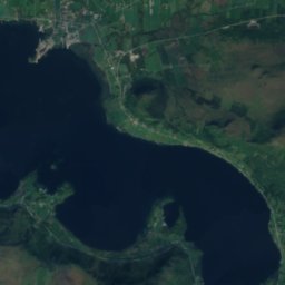
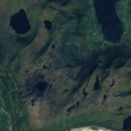
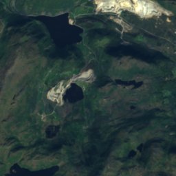
위성: Sentinel-2 cloudless 2016(EOX IT Services GmbH) · CC BY 4.0 · 수정된 Copernicus Sentinel 데이터(2016) 포함




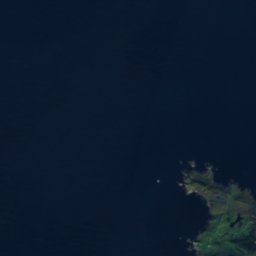


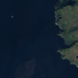
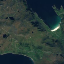
위성: Sentinel-2 cloudless 2016(EOX IT Services GmbH) · CC BY 4.0 · 수정된 Copernicus Sentinel 데이터(2016) 포함


주변
Hoddevik 일대
자연
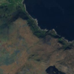
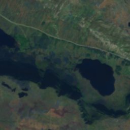
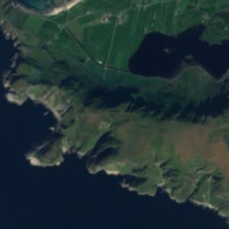
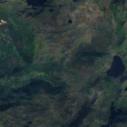
위성: Sentinel-2 cloudless 2016(EOX IT Services GmbH) · CC BY 4.0 · 수정된 Copernicus Sentinel 데이터(2016) 포함
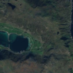
Dalsbøvatnet
호수 · 31 m
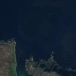
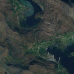
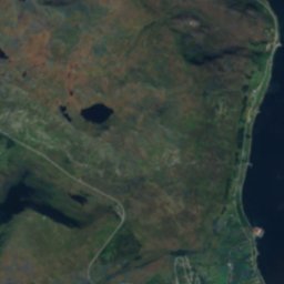
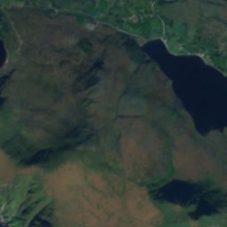
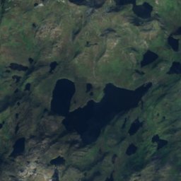
위성: Sentinel-2 cloudless 2016(EOX IT Services GmbH) · CC BY 4.0 · 수정된 Copernicus Sentinel 데이터(2016) 포함
Sætrevatnet
호수 · 40 m

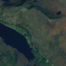
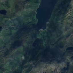
위성: Sentinel-2 cloudless 2016(EOX IT Services GmbH) · CC BY 4.0 · 수정된 Copernicus Sentinel 데이터(2016) 포함
Ervikvatnet
호수 · 8 m
산
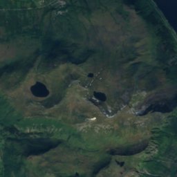
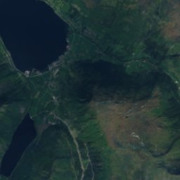
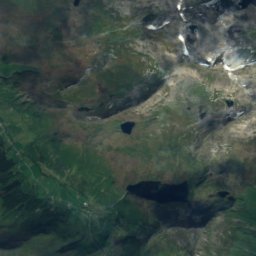
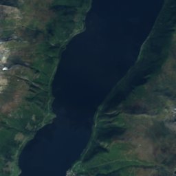
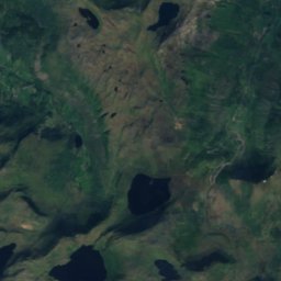
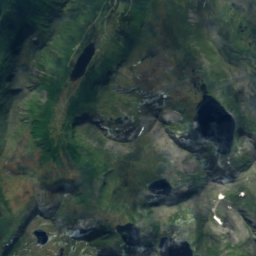
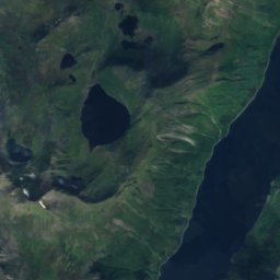
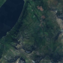
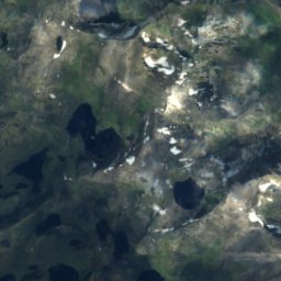
위성: Sentinel-2 cloudless 2016(EOX IT Services GmbH) · CC BY 4.0 · 수정된 Copernicus Sentinel 데이터(2016) 포함
Blæja
1,143 m

위성: Sentinel-2 cloudless 2016(EOX IT Services GmbH) · CC BY 4.0 · 수정된 Copernicus Sentinel 데이터(2016) 포함
Bleiskardtind
800 m


