자연
니카라과의 물가, 빙하, 야생
호수, 폭포, 빙하, 국립공원, 산장. 각각의 위치, 규모, 주변 날씨를 소개합니다.
호수28곳(개별 페이지 있음)
폭포6곳(개별 페이지 있음)
국립공원3곳(개별 페이지 있음)
해변19곳(개별 페이지 있음)

사진: Earth Science and Remote Sensing Unit, Lyndon B. Johnson Space Center · Public domain · Wikimedia Commons이 사진 신고 · 링크만, 저장 없음
호수
니카라과의 호수

사진: Earth Science and Remote Sensing Unit, Lyndon B. Johnson Space Center · Public domain · Wikimedia Commons이 사진 신고 · 링크만, 저장 없음
니카라과호
Balque, Rivas Department
32 m

사진: Ryan Ballantyne --ryos 21:39, 17 June 2006 (UTC) · CC BY-SA 2.5 · Wikimedia Commons이 사진 신고 · 링크만, 저장 없음
마나과호
Mateare, Managua Department
39 m
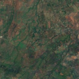
위성: Sentinel-2 cloudless 2016(EOX IT Services GmbH) · CC BY 4.0 · 수정된 Copernicus Sentinel 데이터(2016) 포함
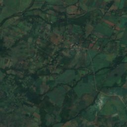
Lago de Apanás
Llano de La Cruz, Jinotega Department
46 km²
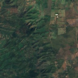
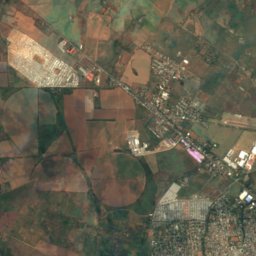
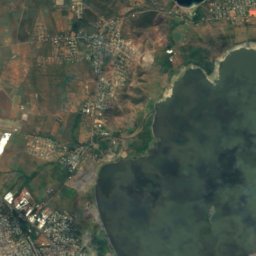

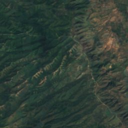
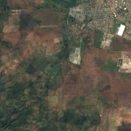
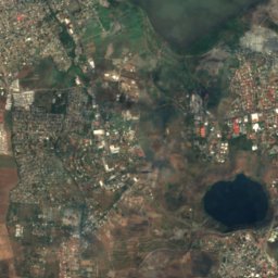
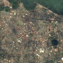
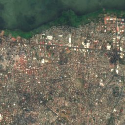
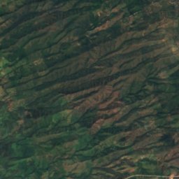
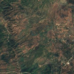
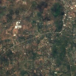
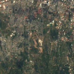
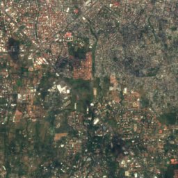
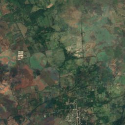
위성: Sentinel-2 cloudless 2016(EOX IT Services GmbH) · CC BY 4.0 · 수정된 Copernicus Sentinel 데이터(2016) 포함
Asososca Lagoon
Ciudad Sandino, Managua Department
57 m
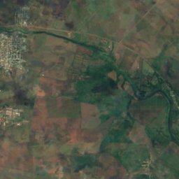
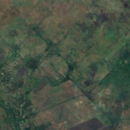
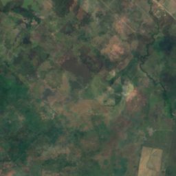
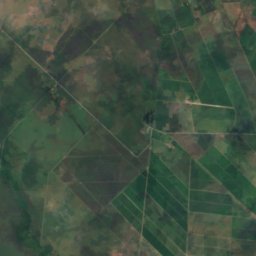
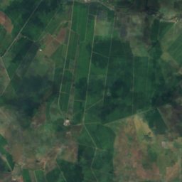
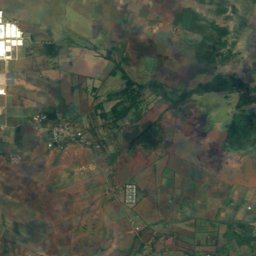
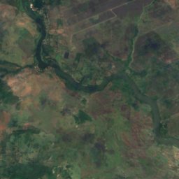
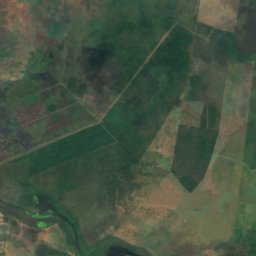
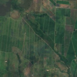
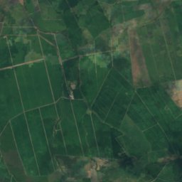
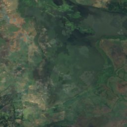
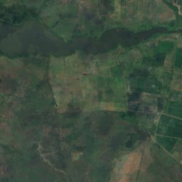
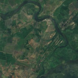
위성: Sentinel-2 cloudless 2016(EOX IT Services GmbH) · CC BY 4.0 · 수정된 Copernicus Sentinel 데이터(2016) 포함
Laguna de Tisma
Tisma, Masaya Department
31 m
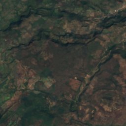
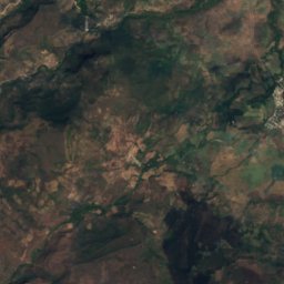
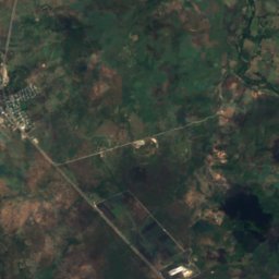
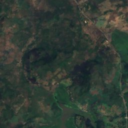
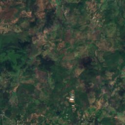
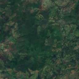
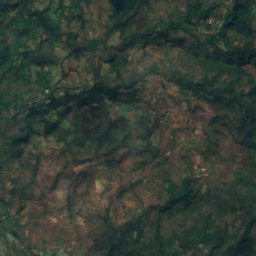
위성: Sentinel-2 cloudless 2016(EOX IT Services GmbH) · CC BY 4.0 · 수정된 Copernicus Sentinel 데이터(2016) 포함
Laguna de Moyuá
Ciudad Dario, Matagalpa Department
418 m
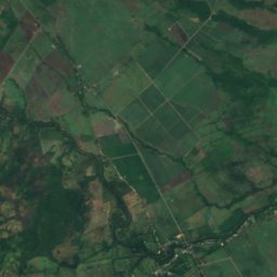
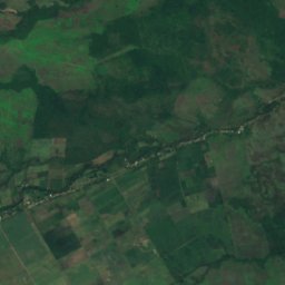
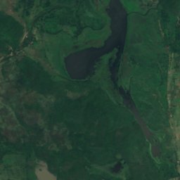
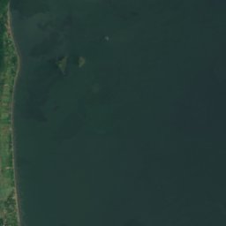

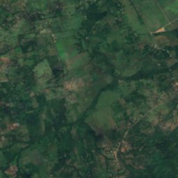
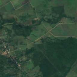
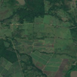
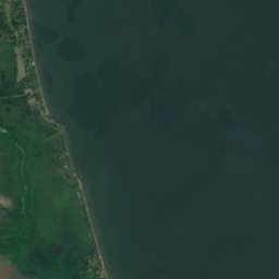

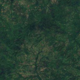
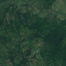
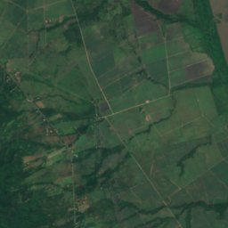
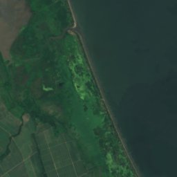

위성: Sentinel-2 cloudless 2016(EOX IT Services GmbH) · CC BY 4.0 · 수정된 Copernicus Sentinel 데이터(2016) 포함
Laguna Ñocarime
Apompuá, Rivas Department
32 m
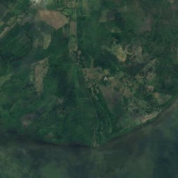
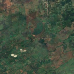
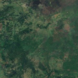
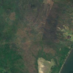
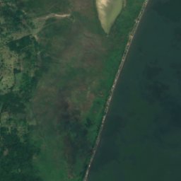

위성: Sentinel-2 cloudless 2016(EOX IT Services GmbH) · CC BY 4.0 · 수정된 Copernicus Sentinel 데이터(2016) 포함
La Playuela
Tisma, Masaya Department
33 m
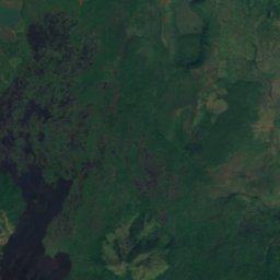
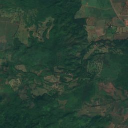
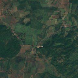
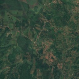
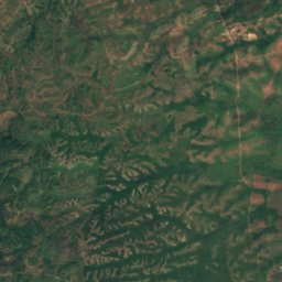
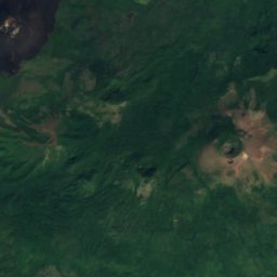
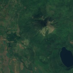
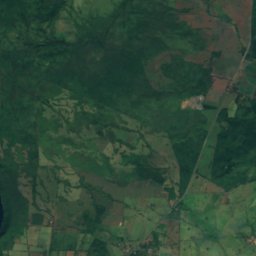
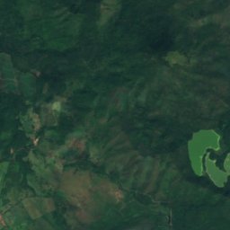
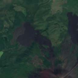
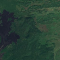
위성: Sentinel-2 cloudless 2016(EOX IT Services GmbH) · CC BY 4.0 · 수정된 Copernicus Sentinel 데이터(2016) 포함
Laguna Agua Dulce
Puerto Momotombo, León Department
64 m
전체 목록: 호수 28곳
- 니카라과호
- 마나과호
- Asososca Lagoon
- Balneario La Makina
- Embalse de Antioquía
- Embalse Las Canoas
- Embalse Loma Alegre
- Embalse San Luis
- La Playuela
- Lago de Apanás
- Laguna Agua Dulce
- Laguna Blanca
- Laguna Caño Negro
- Laguna de Jirón
- Laguna de Moyuá
- Laguna de Tisma
- Laguna de Zapatera
- Laguna El Cachital
- Laguna El Playón
- Laguna Las Playitas
- Laguna Ñocarime
- Laguna Palo Blanco
- Laguna Tala
- Laguna Tecomapa
- Laguna Tihu Tara
- Laguna Verde
- Lakun Tara
- Sandy Bay
폭포
니카라과의 폭포
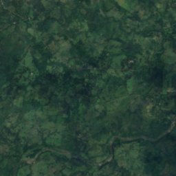
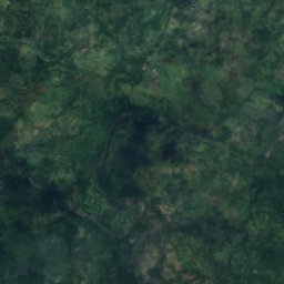
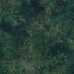
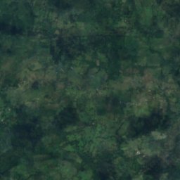
위성: Sentinel-2 cloudless 2016(EOX IT Services GmbH) · CC BY 4.0 · 수정된 Copernicus Sentinel 데이터(2016) 포함
Salto El Esquirín
Muy Muy, Matagalpa Department
287 m
위성: Sentinel-2 cloudless 2016(EOX IT Services GmbH) · CC BY 4.0 · 수정된 Copernicus Sentinel 데이터(2016) 포함
Salto Grande, South Caribbean Coast
Muelle de los Bueyes, South Caribbean Coast
70 m
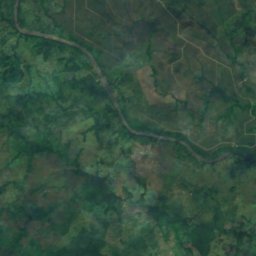
위성: Sentinel-2 cloudless 2016(EOX IT Services GmbH) · CC BY 4.0 · 수정된 Copernicus Sentinel 데이터(2016) 포함
Salto Mataka
Rama, South Caribbean Coast
19 m
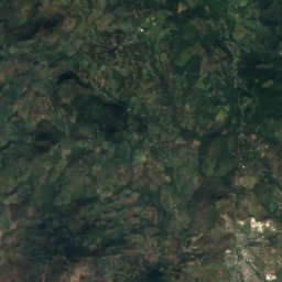
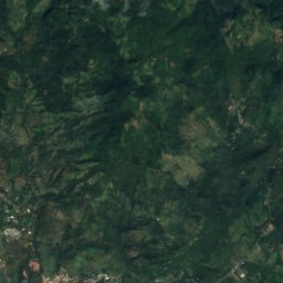
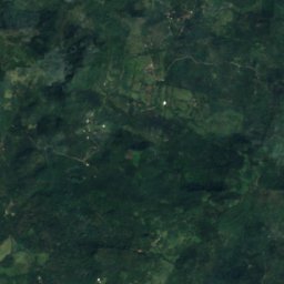
위성: Sentinel-2 cloudless 2016(EOX IT Services GmbH) · CC BY 4.0 · 수정된 Copernicus Sentinel 데이터(2016) 포함
Cascada Blanca Río Yasica
San Ramón, Matagalpa Department
낙차 17 m


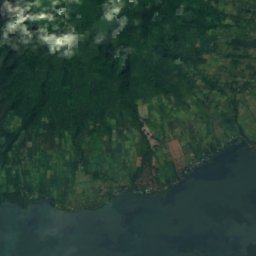
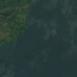
위성: Sentinel-2 cloudless 2016(EOX IT Services GmbH) · CC BY 4.0 · 수정된 Copernicus Sentinel 데이터(2016) 포함
Cascada San Ramón
Mérida, Rivas Department
위성: Sentinel-2 cloudless 2016(EOX IT Services GmbH) · CC BY 4.0 · 수정된 Copernicus Sentinel 데이터(2016) 포함
Salto El Pavilán
Muelle de los Bueyes, South Caribbean Coast
국립공원
니카라과의 국립공원

위성: Sentinel-2 cloudless 2016(EOX IT Services GmbH) · CC BY 4.0 · 수정된 Copernicus Sentinel 데이터(2016) 포함
Volcán Maderas
Balque, Rivas Department
26 km²
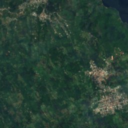
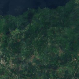
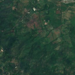
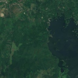
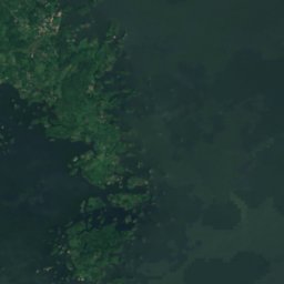
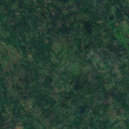
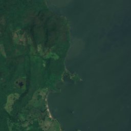
위성: Sentinel-2 cloudless 2016(EOX IT Services GmbH) · CC BY 4.0 · 수정된 Copernicus Sentinel 데이터(2016) 포함
Parque nacional Volcán Mombacho
Granada, Granada Department
해변
니카라과의 해변


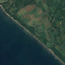
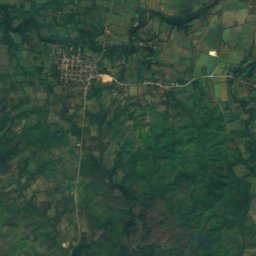
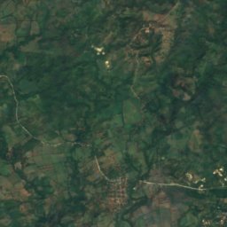

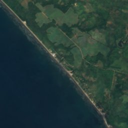
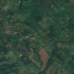
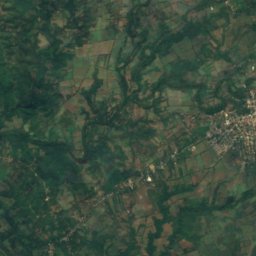


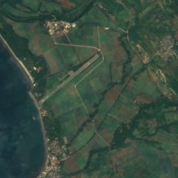
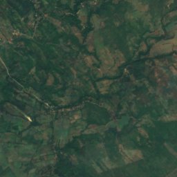
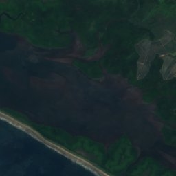
위성: Sentinel-2 cloudless 2016(EOX IT Services GmbH) · CC BY 4.0 · 수정된 Copernicus Sentinel 데이터(2016) 포함
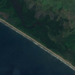
Playa Montelimar
El Rosario, Carazo Department
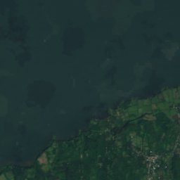
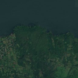
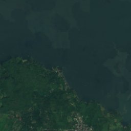


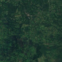
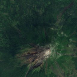
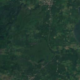
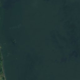

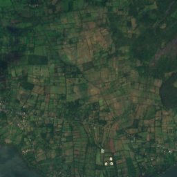
위성: Sentinel-2 cloudless 2016(EOX IT Services GmbH) · CC BY 4.0 · 수정된 Copernicus Sentinel 데이터(2016) 포함
Playa Santo Domingo
Santa Cruz, Rivas Department
41 m
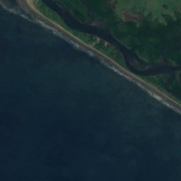
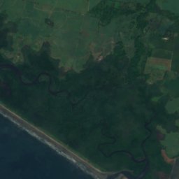
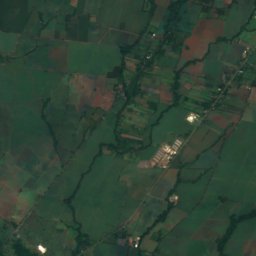
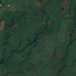

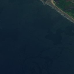
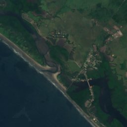
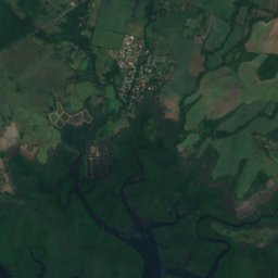
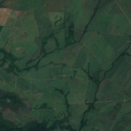


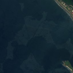
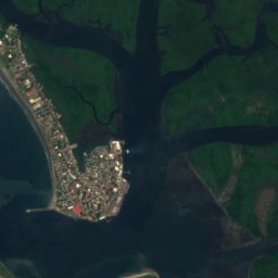
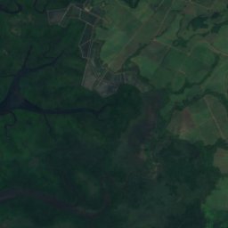
위성: Sentinel-2 cloudless 2016(EOX IT Services GmbH) · CC BY 4.0 · 수정된 Copernicus Sentinel 데이터(2016) 포함
Los Ranchos
Poneloya, León Department

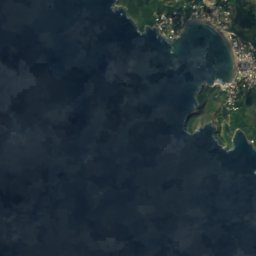
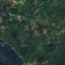





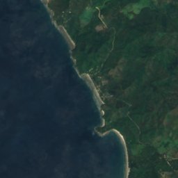
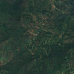
위성: Sentinel-2 cloudless 2016(EOX IT Services GmbH) · CC BY 4.0 · 수정된 Copernicus Sentinel 데이터(2016) 포함
Playa El Yankee
El Ostional, Rivas Department
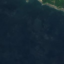
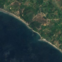
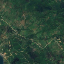
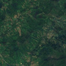
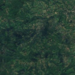


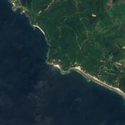
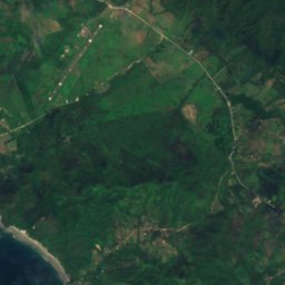



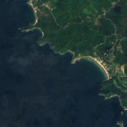
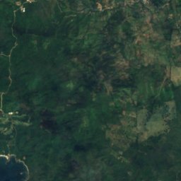
위성: Sentinel-2 cloudless 2016(EOX IT Services GmbH) · CC BY 4.0 · 수정된 Copernicus Sentinel 데이터(2016) 포함
Playa Gigante
Tola, Rivas Department
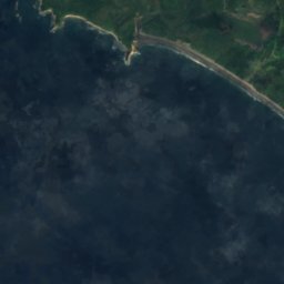
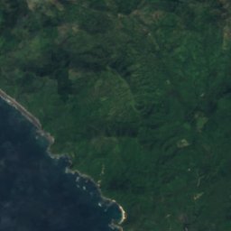


위성: Sentinel-2 cloudless 2016(EOX IT Services GmbH) · CC BY 4.0 · 수정된 Copernicus Sentinel 데이터(2016) 포함
Playa Maderas
San Juan del Sur, Rivas Department
전체 목록: 해변 19곳
- Barra Honson
- Los Ranchos
- Playa Colorado
- Playa El Coco
- Playa El Yankee
- Playa Gigante
- Playa Guasacate
- Playa Hermosa, Rivas Department
- Playa Jiquelite
- Playa Maderas
- Playa Majagual
- Playa Manzanillo
- Playa Marsella
- Playa Montelimar
- Playa Nacascolo
- Playa Salinas Grande
- Playa San Juan del Sur
- Playa Santo Domingo
- Playas El Arenal
섬
니카라과의 섬

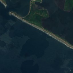
사진: Earth Science and Remote Sensing Unit, Lyndon B. Johnson Space Center · Public domain · Wikimedia Commons이 사진 신고 · 링크만, 저장 없음
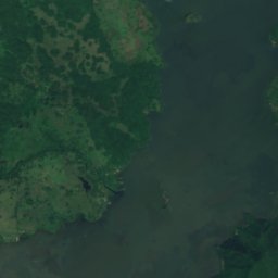
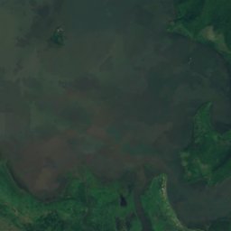
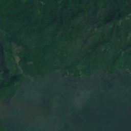
오메테페섬
Los Ángeles, Rivas Department
1,610 m


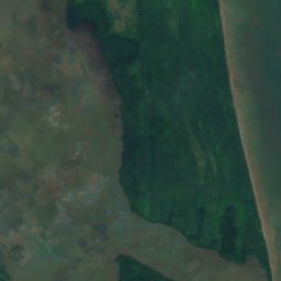
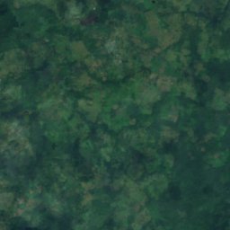
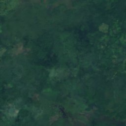
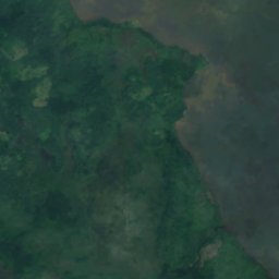
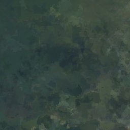
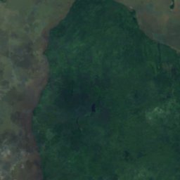
위성: Sentinel-2 cloudless 2016(EOX IT Services GmbH) · CC BY 4.0 · 수정된 Copernicus Sentinel 데이터(2016) 포함
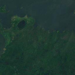
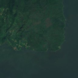
Rama Cay
Bluefields, South Caribbean Coast
11 m
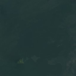


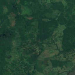


위성: Sentinel-2 cloudless 2016(EOX IT Services GmbH) · CC BY 4.0 · 수정된 Copernicus Sentinel 데이터(2016) 포함
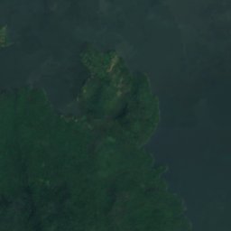
Isla Zapatera
Granada, Granada Department
298 m
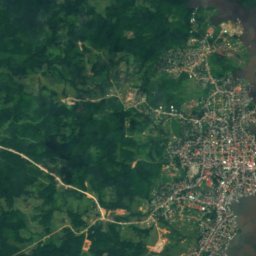
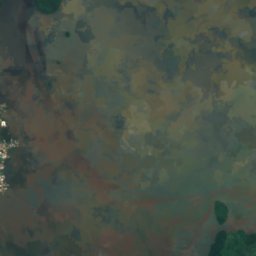
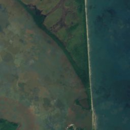

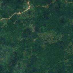
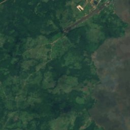
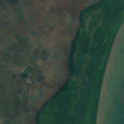
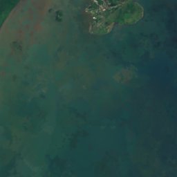



위성: Sentinel-2 cloudless 2016(EOX IT Services GmbH) · CC BY 4.0 · 수정된 Copernicus Sentinel 데이터(2016) 포함
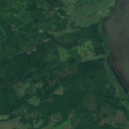
Isla del Venado
El Bluff, South Caribbean Coast
7 m
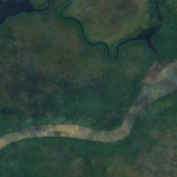
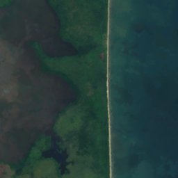
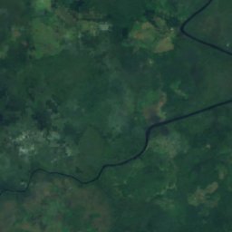
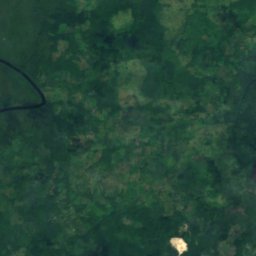
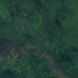
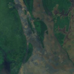
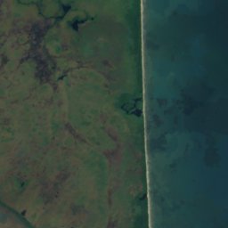
위성: Sentinel-2 cloudless 2016(EOX IT Services GmbH) · CC BY 4.0 · 수정된 Copernicus Sentinel 데이터(2016) 포함
Green Cay
Bluefields, South Caribbean Coast
2 m

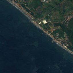
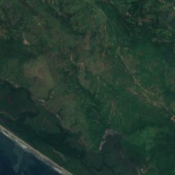


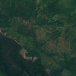


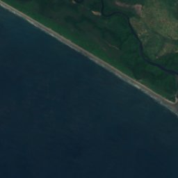
위성: Sentinel-2 cloudless 2016(EOX IT Services GmbH) · CC BY 4.0 · 수정된 Copernicus Sentinel 데이터(2016) 포함
Isla Juan Venado
Las Peñitas, León Department
8 m

위성: Sentinel-2 cloudless 2016(EOX IT Services GmbH) · CC BY 4.0 · 수정된 Copernicus Sentinel 데이터(2016) 포함
Isla El Muerto, Granada Department
Granada, Granada Department
59 m
전체 목록: 섬 108곳
- 오메테페섬
- Alice-Agnes Rocks
- Archies Rock
- Arrecife Conway
- Asmalera Rocks
- Auiapuni Reef
- Bajos Castañones
- Banco Sawyer
- Barra Cardón
- Barra de Auastara
- Barra de Dákura
- Barra de Sandy Bay
- Bushukura Reefs
- Casaba Cay
- Cayo Coleta
- Cayo El Pigeon
- Cayo French Man
- Cayo Medio Camino
- Cayo Soup
- Cayo Yellow Tail
- Cayos Nasa
- Chilimay
- Green Cay
- Guano Cay
- Isla Bolaños
- Isla Buena Vista
- Isla Cascabelito
- Isla de Corinto
- Isla de Jesús Grande
- Isla de Quiste
- Isla del Amor
- Isla del Limón
- Isla del Plátano
- Isla del Venado
- Isla Dispensa
- Isla Eden Rock
- Isla El Ahorcado
- Isla El Anono
- Isla El Arado
- Isla El Arañero
- Isla El Armado, Granada Department
- Isla El Armado, Granada Department
- Isla El Cardón
- Isla El Carmen
- Isla El Congo
- Isla El Coroza
- Isla El Guanacaste
- Isla El Menco
- Isla El Molenillo
- Isla El Muerto, Granada Department
- Isla El Reten
- Isla El Sobaco
- Isla El Yucal
- Isla Grande, Río San Juan Department
- Isla Grande, Rivas Department
- Isla Hasbari
- Isla Honda
- Isla Jesucito
- Isla Juan Venado
- Isla Juanilla
- Isla La Calabaza
- Isla La Cancha
- Isla La Carolina
- Isla La Concha
- Isla La Crúz
- Isla La Felipina
- Isla La Guanábana
- Isla La Huerta
- Isla La Pedrera
- Isla La Penca
- Isla La Vaca, Granada Department
- Isla La Venada, Granada Department
- Isla La Vieja
- Isla La Zanata, Granada Department
- Isla Las Rosas
- Isla Las Termópilas
- Isla Las Tigüises
- Isla Meir Kayasca
- Isla Momotombito
- Isla Otaú
- Isla Paredones
- Isla Peor es Nada
- Isla Rosa
- Isla San Demetrio
- Isla San Ramón
- Isla Santa Isabel
- Isla Santa Lucía
- Isla Seca
- Isla Tinaja
- Isla Tinajita
- Isla Tinajón
- Isla Virginia
- Isla Zapatera
- Isleta Piel Dorada
- Kisura Cay
- Las Delicias
- Las Piedras Cagadas
- Mission Cay
- Punta del Este
- Rama Cay
- Southwest by South Rocks
- Teal Cay
- Tingo Reef
- Toro Cay
- Tsiankualaia Rock
- Uatlatara Rocks
- Waham Cay
- Williams Cay
강
니카라과의 강
위성: Sentinel-2 cloudless 2016(EOX IT Services GmbH) · CC BY 4.0 · 수정된 Copernicus Sentinel 데이터(2016) 포함
Río Tipitapa
Tisma, Masaya Department
31 m
위성: Sentinel-2 cloudless 2016(EOX IT Services GmbH) · CC BY 4.0 · 수정된 Copernicus Sentinel 데이터(2016) 포함
Bluefields River
Bluefields, South Caribbean Coast




위성: Sentinel-2 cloudless 2016(EOX IT Services GmbH) · CC BY 4.0 · 수정된 Copernicus Sentinel 데이터(2016) 포함
사포아강
Mérida, Rivas Department
31 m





위성: Sentinel-2 cloudless 2016(EOX IT Services GmbH) · CC BY 4.0 · 수정된 Copernicus Sentinel 데이터(2016) 포함
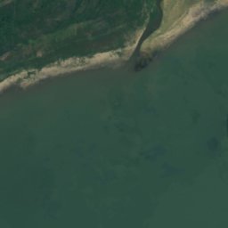
와와강
Tuapí, North Caribbean Coast
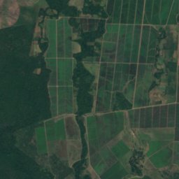
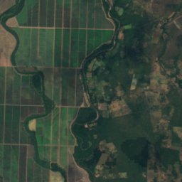
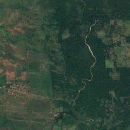
위성: Sentinel-2 cloudless 2016(EOX IT Services GmbH) · CC BY 4.0 · 수정된 Copernicus Sentinel 데이터(2016) 포함
Río Sinecapa
Nuevo Renacer, León Department
41 m