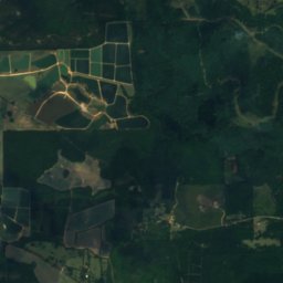
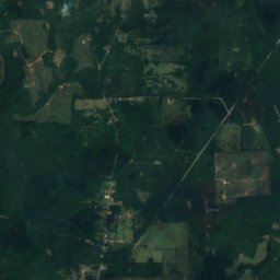
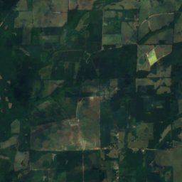
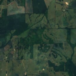
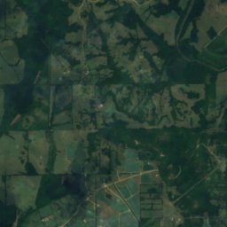
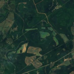
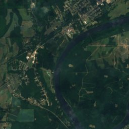
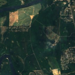
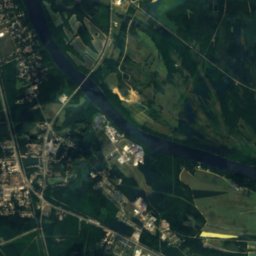
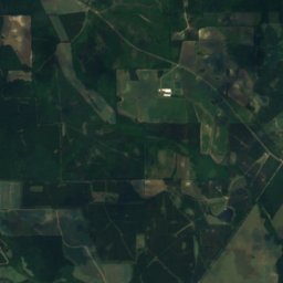
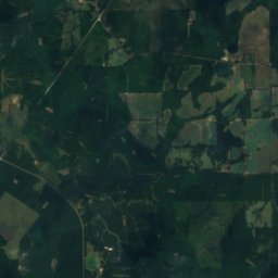
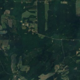
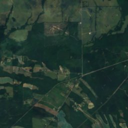
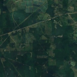
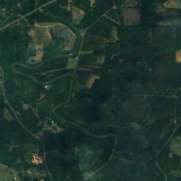
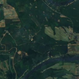
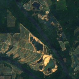
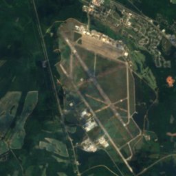
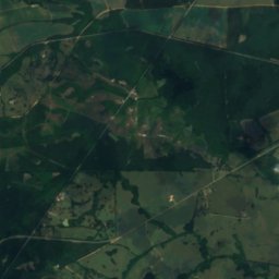
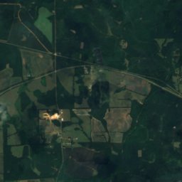
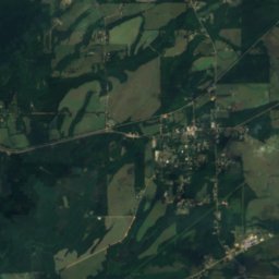
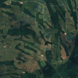
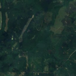
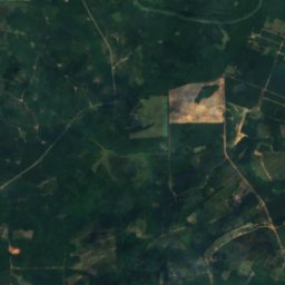
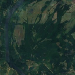
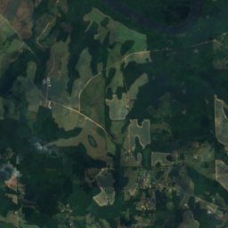
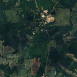
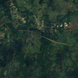
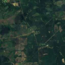
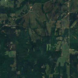
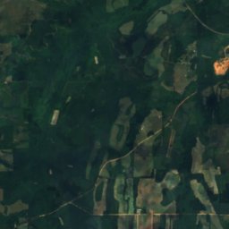
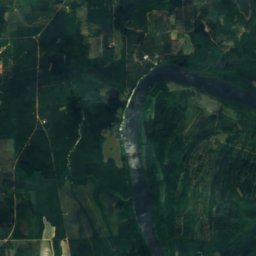
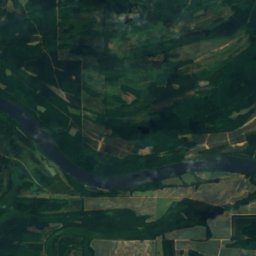
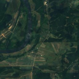
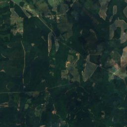
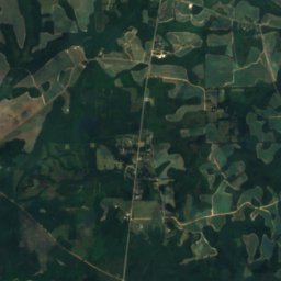
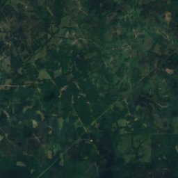
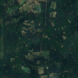
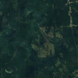
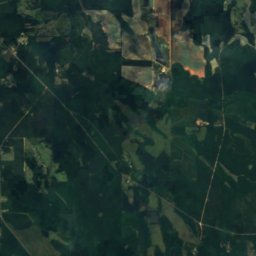
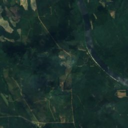
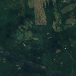
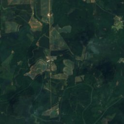
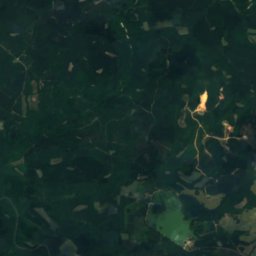
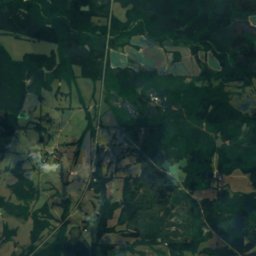
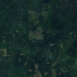
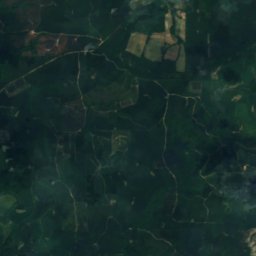
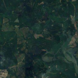
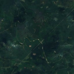
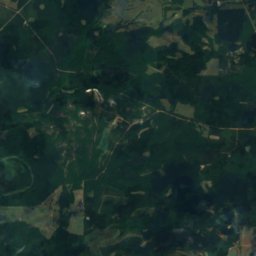
위성: Sentinel-2 cloudless 2016(EOX IT Services GmbH) · CC BY 4.0 · 수정된 Copernicus Sentinel 데이터(2016) 포함
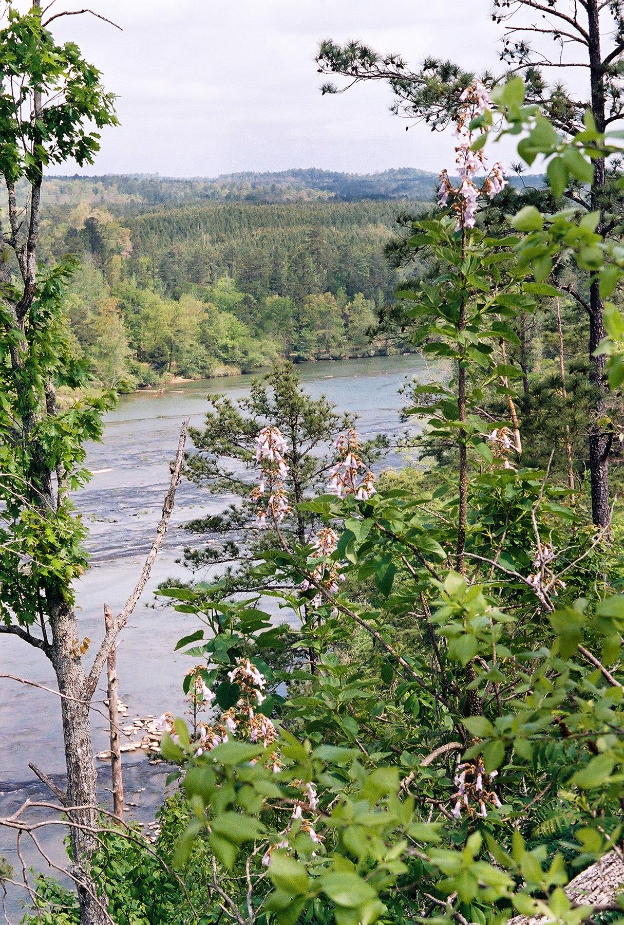
사진: U.S. Fish and Wildlife Service · Public domain · Wikimedia Commons
Cahaba River이 사진 신고 · 링크만, 저장 없음
Cahaba RiverCahaba River이 사진 신고 · 링크만, 저장 없음
섬Elm Bluff, 앨라배마주
Mitchell Bar
섬최적 4월 · 10월–11월
고도–해발
면적–총면적
가장 가까운 지점Elm Bluff14 km
북위 32.26°, 서경 87.13°UTC−5 · 미 중부 하계 표준시
여행 시기Elm Bluff · 날씨 점수
최적 시기4월 · 10월–11월
10월: 최고 / 최저26° / 12°
섬
Mitchell Bar 개요
Mitchell Bar는 미국(앨라배마주)에 있는 섬입니다.
가장 가까운 지점은 남동쪽으로 14 km 떨어진 Elm Bluff입니다. 그곳의 날씨가 가장 쾌적한 달은 4월, 10월, 11월입니다.
주변의 현재 날씨
Elm Bluff의 일기 예보13°
현재 날씨: 구름 조금
오늘
10월 26일
23°
8°
화
10월 27일
24°
8°
수
10월 28일
25°
9°
목
10월 29일
26°
9°
금
10월 30일
26°
11°
모델 계산 시각 12:00 UTC하루 여러 번 갱신
언제 갈까
Elm Bluff의 기후Mitchell Bar: 여행하기 좋은 시기
Elm Bluff의 월별 평가
쾌적도, 비 없는 날, 일조 · 100점 만점55
1월
66
2월
72
3월
78
4월
56
5월
38
6월
32
7월
34
8월
53
9월
79
10월
80
11월
60
12월
지도
Mitchell Bar 하늘에서
주변 자연전국
위성: Sentinel-2 cloudless 2016(EOX IT Services GmbH) · CC BY 4.0 · 수정된 Copernicus Sentinel 데이터(2016) 포함
위성: Sentinel-2 cloudless 2016(EOX IT Services GmbH) · CC BY 4.0 · 수정된 Copernicus Sentinel 데이터(2016) 포함
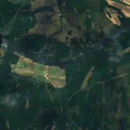
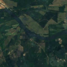
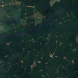
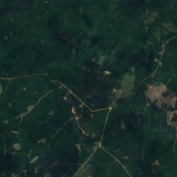
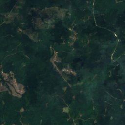
위성: Sentinel-2 cloudless 2016(EOX IT Services GmbH) · CC BY 4.0 · 수정된 Copernicus Sentinel 데이터(2016) 포함
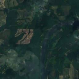
위성: Sentinel-2 cloudless 2016(EOX IT Services GmbH) · CC BY 4.0 · 수정된 Copernicus Sentinel 데이터(2016) 포함
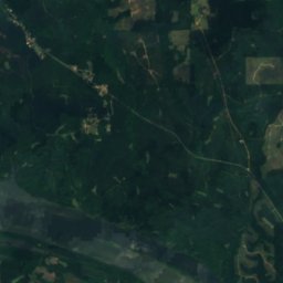
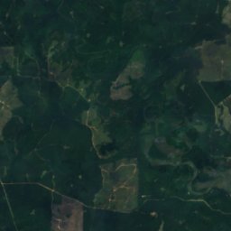
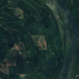
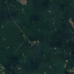
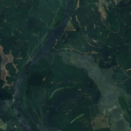
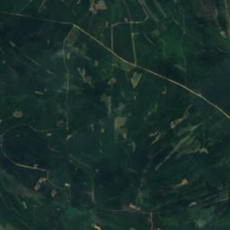
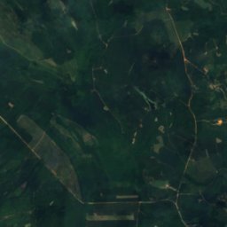
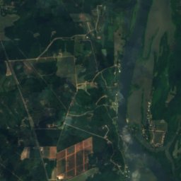
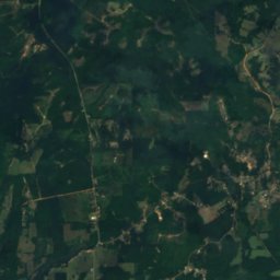
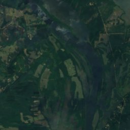
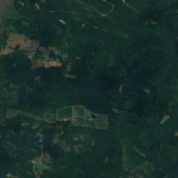
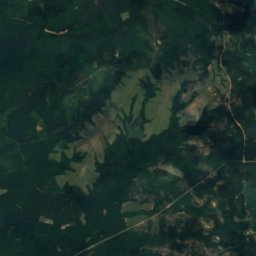
위성: Sentinel-2 cloudless 2016(EOX IT Services GmbH) · CC BY 4.0 · 수정된 Copernicus Sentinel 데이터(2016) 포함
근처 숙소
바로 근처의 지점


주변
Elm Bluff 일대
자연
위성: Sentinel-2 cloudless 2016(EOX IT Services GmbH) · CC BY 4.0 · 수정된 Copernicus Sentinel 데이터(2016) 포함
Providence Bar
섬
위성: Sentinel-2 cloudless 2016(EOX IT Services GmbH) · CC BY 4.0 · 수정된 Copernicus Sentinel 데이터(2016) 포함
Upper Portland Bar
섬


