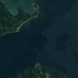
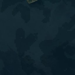
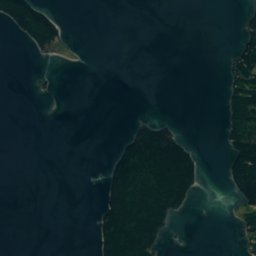
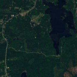
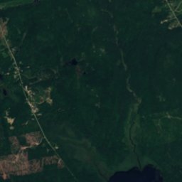
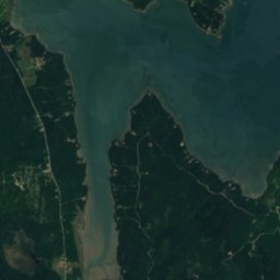
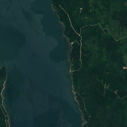
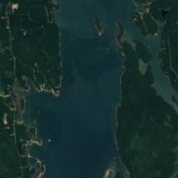
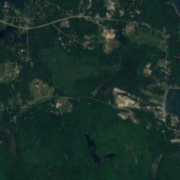
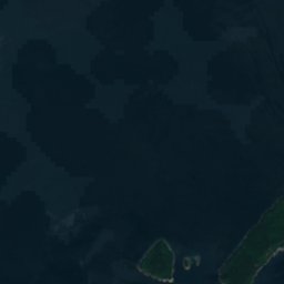
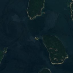
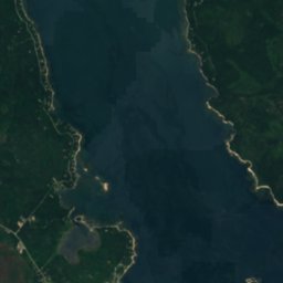
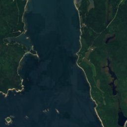
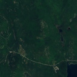
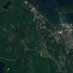
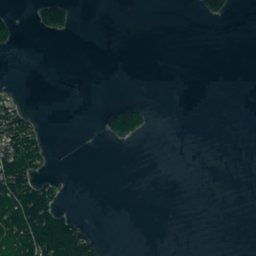
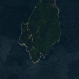
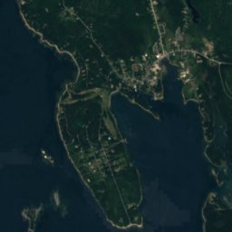
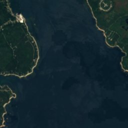
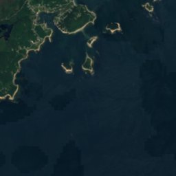
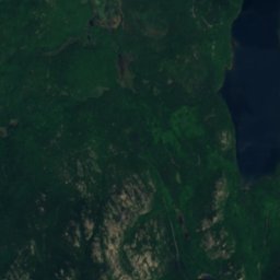
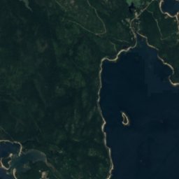


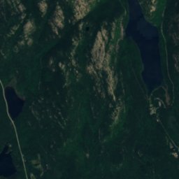
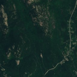
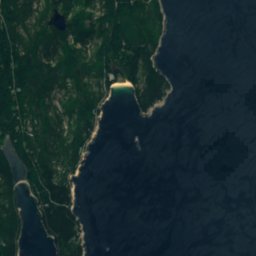


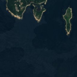



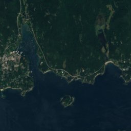
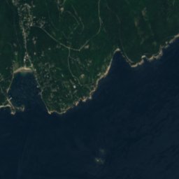
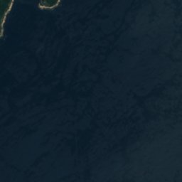






위성: Sentinel-2 cloudless 2016(EOX IT Services GmbH) · CC BY 4.0 · 수정된 Copernicus Sentinel 데이터(2016) 포함
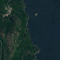
 Mark Island, Winter Harbor

사진: The original uploader was NightThree at English Wikipedia. · CC BY 2.0 · Wikimedia Commons
Cadillac Mountain이 사진 신고 · 링크만, 저장 없음
Cadillac MountainCadillac Mountain이 사진 신고 · 링크만, 저장 없음
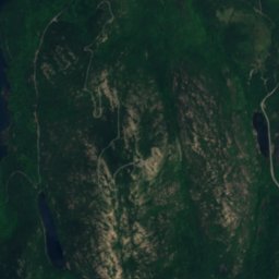
 The Beehive
섬Winter Harbor, 메인주
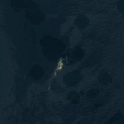
Grindstone Ledge
섬최적 7월–9월
고도–해발
면적–총면적
가장 가까운 지점Winter Harbor2.9 km
북위 44.37°, 서경 68.09°UTC−4 · 미 동부 하계 표준시
여행 시기Winter Harbor · 날씨 점수
최적 시기7월–9월
10월: 최고 / 최저14° / 6°
섬
Grindstone Ledge 개요
Grindstone Ledge는 미국(메인주)에 있는 섬입니다.
가장 가까운 지점은 북쪽으로 2.9 km 떨어진 Winter Harbor입니다. 그곳의 날씨가 가장 쾌적한 달은 7월, 8월, 9월입니다.
주변의 현재 날씨
Winter Harbor의 일기 예보6°
현재 날씨: 맑음
오늘
10월 31일
10°
0°
일
11월 1일
12°
-2°
월
11월 2일
18°
4°
화
11월 3일
12°
5°
2 mm
수
11월 4일
13°
6°
4 mm
모델 계산 시각 00:00 UTC하루 여러 번 갱신
언제 갈까
Winter Harbor의 기후Grindstone Ledge: 여행하기 좋은 시기
Winter Harbor의 월별 평가
쾌적도, 비 없는 날, 일조 · 100점 만점22
1월
25
2월
24
3월
21
4월
44
5월
62
6월
63
7월
67
8월
70
9월
42
10월
21
11월
19
12월
지도
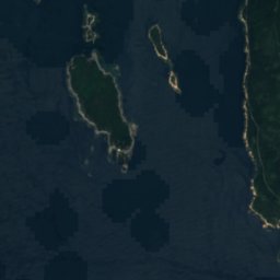
Grindstone Ledge 하늘에서
주변 자연전국
위성: Sentinel-2 cloudless 2016(EOX IT Services GmbH) · CC BY 4.0 · 수정된 Copernicus Sentinel 데이터(2016) 포함

위성: Sentinel-2 cloudless 2016(EOX IT Services GmbH) · CC BY 4.0 · 수정된 Copernicus Sentinel 데이터(2016) 포함
위성: Sentinel-2 cloudless 2016(EOX IT Services GmbH) · CC BY 4.0 · 수정된 Copernicus Sentinel 데이터(2016) 포함
위성: Sentinel-2 cloudless 2016(EOX IT Services GmbH) · CC BY 4.0 · 수정된 Copernicus Sentinel 데이터(2016) 포함
위성: Sentinel-2 cloudless 2016(EOX IT Services GmbH) · CC BY 4.0 · 수정된 Copernicus Sentinel 데이터(2016) 포함
주변 정상미국의 산
사진: The original uploader was NightThree at English Wikipedia. · CC BY 2.0 · Wikimedia Commons이 사진 신고 · 링크만, 저장 없음
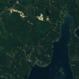
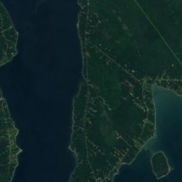
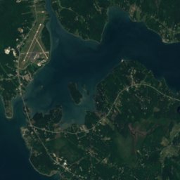
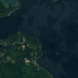
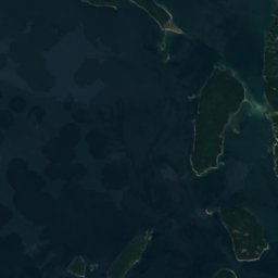
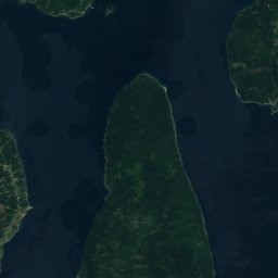
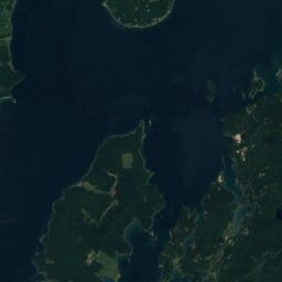
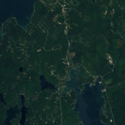
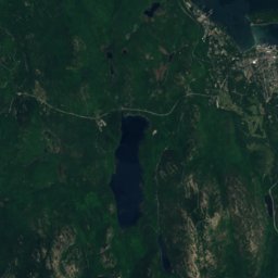
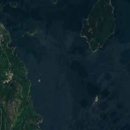
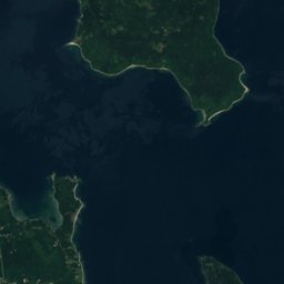
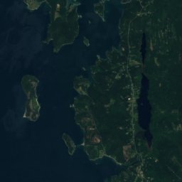
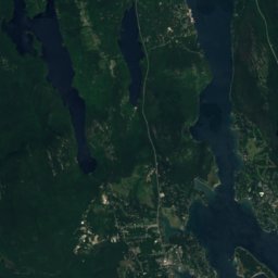
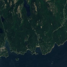
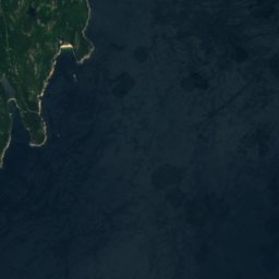
위성: Sentinel-2 cloudless 2016(EOX IT Services GmbH) · CC BY 4.0 · 수정된 Copernicus Sentinel 데이터(2016) 포함

근처 숙소
바로 근처의 지점


사진: James H. Fisher, Hancock County Planning Commission; color-corrected by Howcheng · Public domain · Wikimedia Commons이 사진 신고 · 링크만, 저장 없음
Gouldsboro
메인주 · 13 km 북
14°10월 최고
14비 오는 날
42점수

주변
Winter Harbor 일대
자연

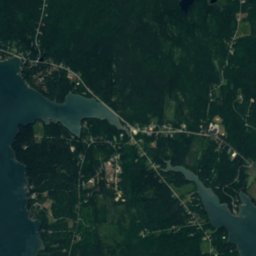
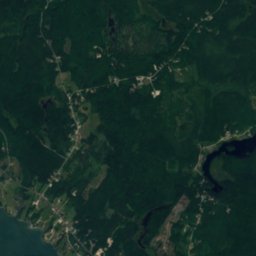
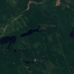
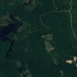
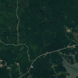
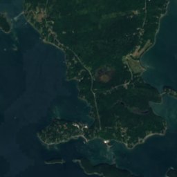
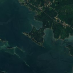
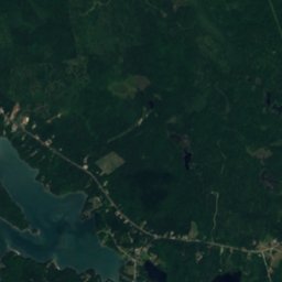
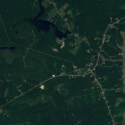
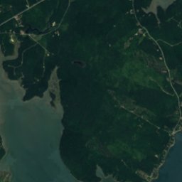
위성: Sentinel-2 cloudless 2016(EOX IT Services GmbH) · CC BY 4.0 · 수정된 Copernicus Sentinel 데이터(2016) 포함
Jones Pond, Maine
호수 · 17 m

산
사진: The original uploader was NightThree at English Wikipedia. · CC BY 2.0 · Wikimedia Commons이 사진 신고 · 링크만, 저장 없음
Cadillac Mountain
470 m · 애팔래치아산맥
위성: Sentinel-2 cloudless 2016(EOX IT Services GmbH) · CC BY 4.0 · 수정된 Copernicus Sentinel 데이터(2016) 포함
Sargent Mountain
415 m
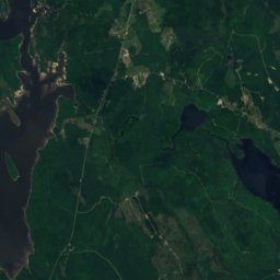
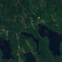
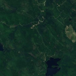
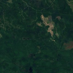
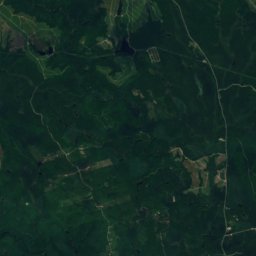
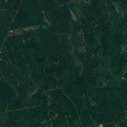
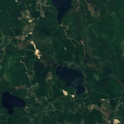
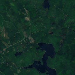
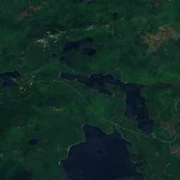
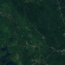
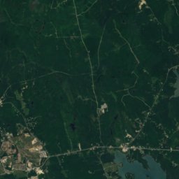
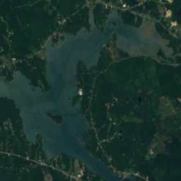
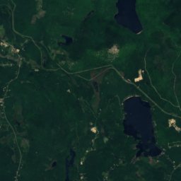
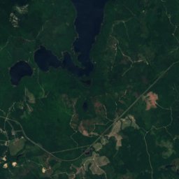
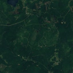
위성: Sentinel-2 cloudless 2016(EOX IT Services GmbH) · CC BY 4.0 · 수정된 Copernicus Sentinel 데이터(2016) 포함
Catherine Mountain
293 m
유산



위성: Sentinel-2 cloudless 2016(EOX IT Services GmbH) · CC BY 4.0 · 수정된 Copernicus Sentinel 데이터(2016) 포함
Edward J. Hammond Hall


Saint Saviour's Episcopal Church and Rectory
1877


