
 North Santiam River
강올버니, 오리건주
Calapooia River
강최적 7월–9월
고도–해발
길이116 km발원지에서 하구까지
가장 가까운 지점올버니0.4 km
북위 44.64°, 서경 123.11°UTC−7 · 미 태평양 하계 표준시
여행 시기올버니 · 날씨 점수
최적 시기7월–9월
10월: 최고 / 최저18° / 6°
강
Calapooia River 개요
Calapooia River는 미국(오리건주)에 있는 강입니다.
아틀라스에서 가장 가까운 지점은 남동쪽으로 0.4 km 떨어진 올버니입니다. 그곳의 날씨가 가장 쾌적한 달은 7월, 8월, 9월입니다.
Calapooia River의 길이는 116 km입니다.
주변의 현재 날씨
올버니의 일기 예보7°
현재 날씨: 쾌청
오늘
10월 23일
15°
3°
토
10월 24일
14°
2°
일
10월 25일
15°
4°
18 mm
월
10월 26일
12°
8°
29 mm
화
10월 27일
14°
6°
1 mm
모델 계산 시각 12:00 UTC하루 여러 번 갱신
강의 물길
OpenStreetMap 지도 데이터를 기준으로 하며, 강변에 있는 Places of Earth 수록 도시도 함께 표시합니다.- 1Holley192 m
- 2Crawfordsville140 m
- 3Brownsville109 m
- 4Shedd81 m
- 5Tangent76 m
- 6올버니65 m
발원지하구 (또는 지도상의 물길이 국외로 나가는 지점)
지도
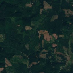
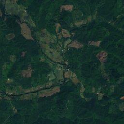
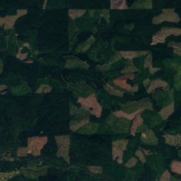
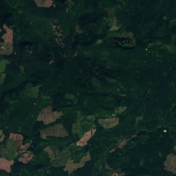
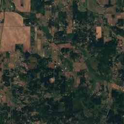
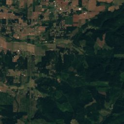
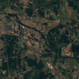
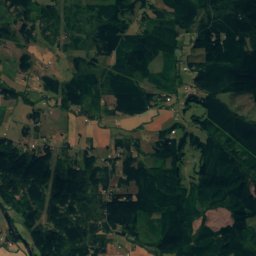
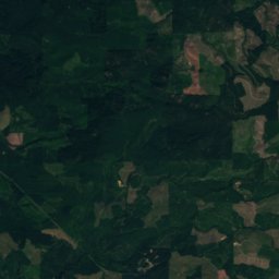
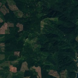
Calapooia River 하늘에서
주변 자연전국
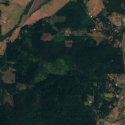
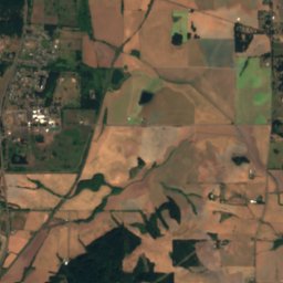
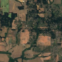
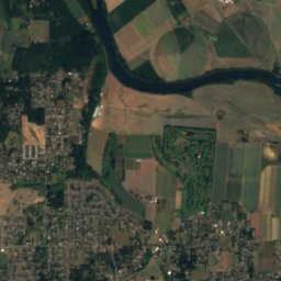
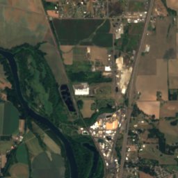
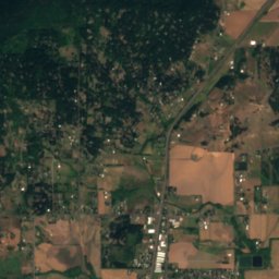
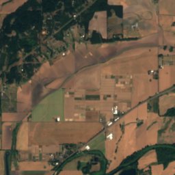
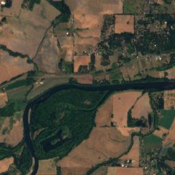
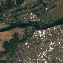
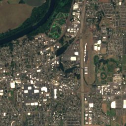
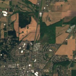
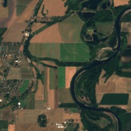
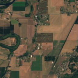
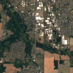
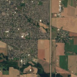
위성: Sentinel-2 cloudless 2016(EOX IT Services GmbH) · CC BY 4.0 · 수정된 Copernicus Sentinel 데이터(2016) 포함
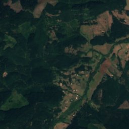
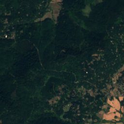
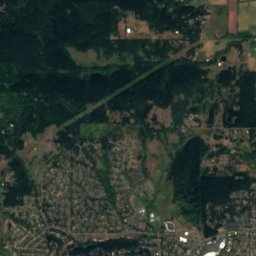
위성: Sentinel-2 cloudless 2016(EOX IT Services GmbH) · CC BY 4.0 · 수정된 Copernicus Sentinel 데이터(2016) 포함
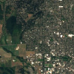
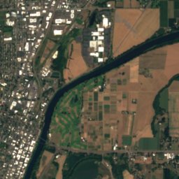
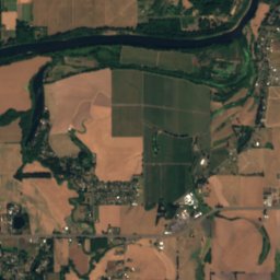
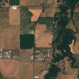
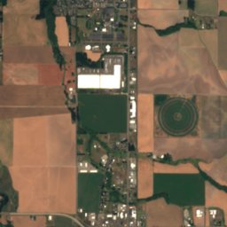
위성: Sentinel-2 cloudless 2016(EOX IT Services GmbH) · CC BY 4.0 · 수정된 Copernicus Sentinel 데이터(2016) 포함
위성: Sentinel-2 cloudless 2016(EOX IT Services GmbH) · CC BY 4.0 · 수정된 Copernicus Sentinel 데이터(2016) 포함

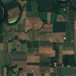
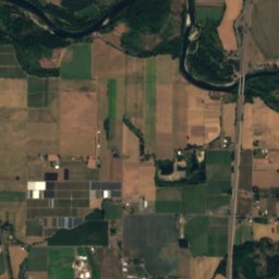
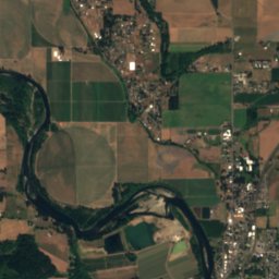
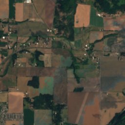
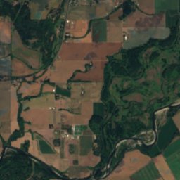
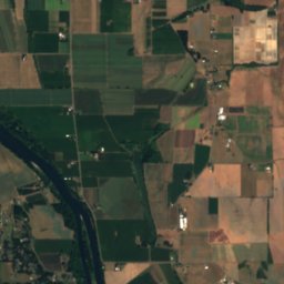
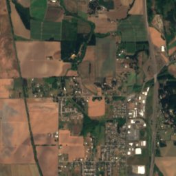
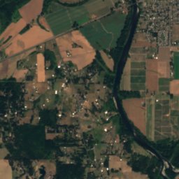
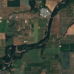
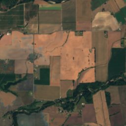
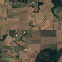
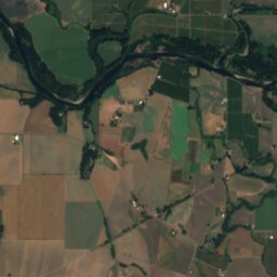
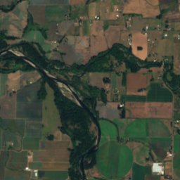
위성: Sentinel-2 cloudless 2016(EOX IT Services GmbH) · CC BY 4.0 · 수정된 Copernicus Sentinel 데이터(2016) 포함
근처 숙소
바로 근처의 지점


주변
올버니 일대
자연
위성: Sentinel-2 cloudless 2016(EOX IT Services GmbH) · CC BY 4.0 · 수정된 Copernicus Sentinel 데이터(2016) 포함
South Santiam River
강
위성: Sentinel-2 cloudless 2016(EOX IT Services GmbH) · CC BY 4.0 · 수정된 Copernicus Sentinel 데이터(2016) 포함
Little Willamette River
강
산
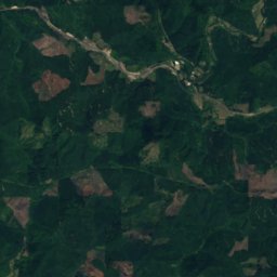
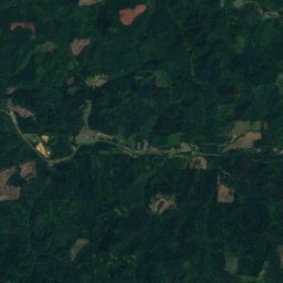
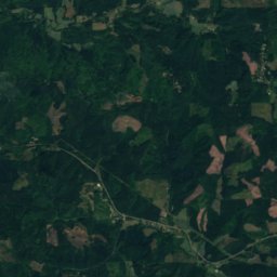
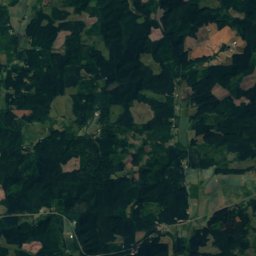
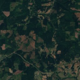
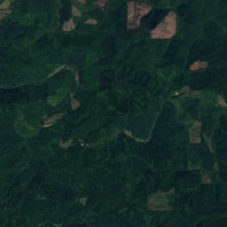
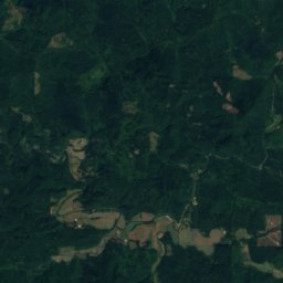
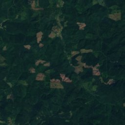
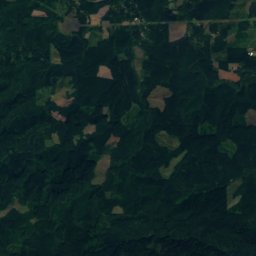
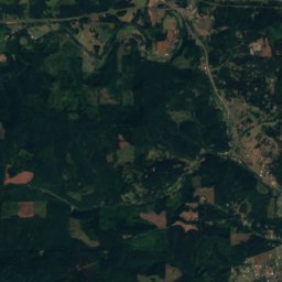
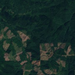
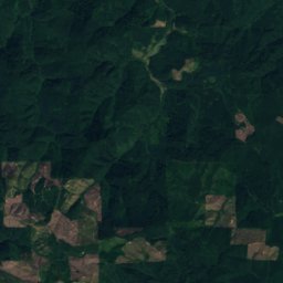
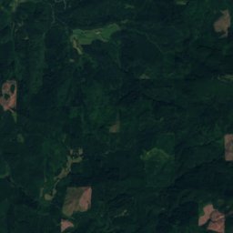
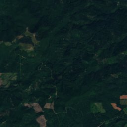
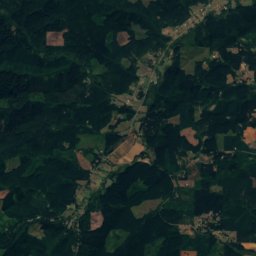
위성: Sentinel-2 cloudless 2016(EOX IT Services GmbH) · CC BY 4.0 · 수정된 Copernicus Sentinel 데이터(2016) 포함
Marys Peak
1,250 m
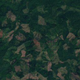
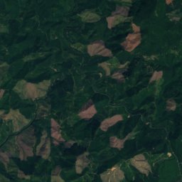
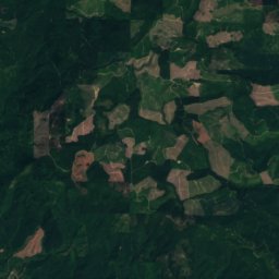
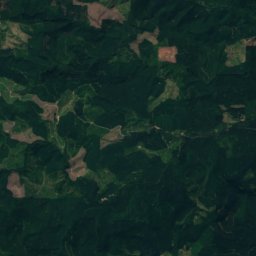
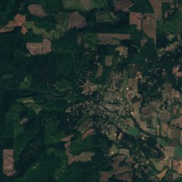
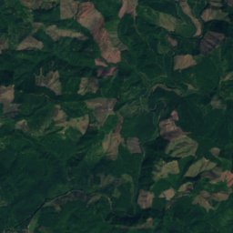
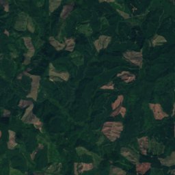
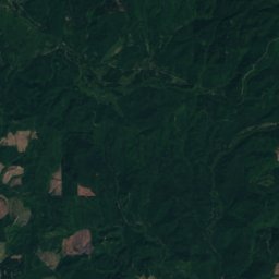
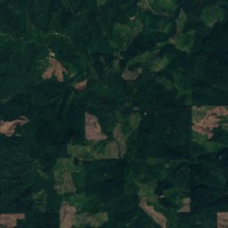
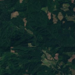
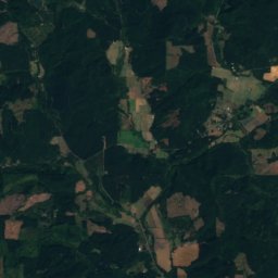
위성: Sentinel-2 cloudless 2016(EOX IT Services GmbH) · CC BY 4.0 · 수정된 Copernicus Sentinel 데이터(2016) 포함
Bald Mountain, Oregon
985 m
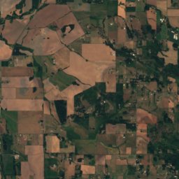
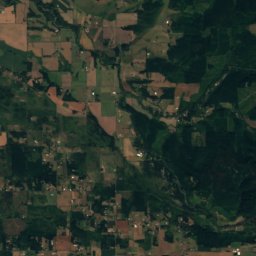
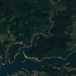
위성: Sentinel-2 cloudless 2016(EOX IT Services GmbH) · CC BY 4.0 · 수정된 Copernicus Sentinel 데이터(2016) 포함
Keel Mountain (Oregon)
863 m


