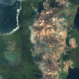

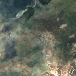

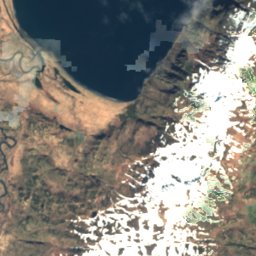
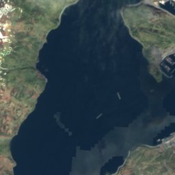
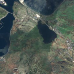


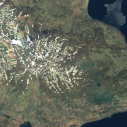
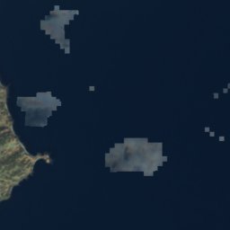
위성: Sentinel-2 cloudless 2016(EOX IT Services GmbH) · CC BY 4.0 · 수정된 Copernicus Sentinel 데이터(2016) 포함
 마쿠신산

사진: National Institute for Occupational Safety and Health/ Ted Teske health communic · Public domain · Wikimedia Commons
Mount Ballyhoo이 사진 신고 · 링크만, 저장 없음
Mount BallyhooMount Ballyhoo이 사진 신고 · 링크만, 저장 없음
해변어널래스카섬, 알래스카주
Bailey Ledge
해변최적 7월–9월
고도–해발
수온 (최고)10°C8월
가장 가까운 지점어널래스카섬2.3 km
북위 53.86°, 서경 166.56°UTC−8 · 알래스카 하계 표준시
여행 시기어널래스카섬 · 날씨 점수
최적 시기7월–9월
10월: 최고 / 최저9° / 3°
해변
Bailey Ledge 개요
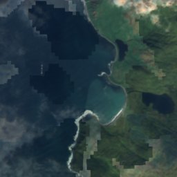
Bailey Ledge는 미국(알래스카주)에 있는 해변입니다.
가장 가까운 지점은 북동쪽으로 2.3 km 떨어진 어널래스카섬입니다. 그곳의 날씨가 가장 쾌적한 달은 7월, 8월, 9월입니다.
바다 수온이 가장 높은 달은 8월이며, 약 10°C입니다.
주변의 현재 날씨
어널래스카섬의 일기 예보5°
현재 날씨: 쾌청
오늘
10월 25일
11°
2°
월
10월 26일
10°
6°
화
10월 27일
11°
6°
16 mm
수
10월 28일
10°
3°
3 mm
목
10월 29일
12°
5°
15 mm
모델 계산 시각 00:00 UTC하루 여러 번 갱신
연중 수온과 기온
어널래스카섬 앞바다의 해수면 온도와 평균 최고 기온(월별).1월4°3°
2월4°3°
3월4°3°
4월4°5°
5월5°8°
6월7°11°
7월9°14°
8월10°15°
9월9°12°
10월8°9°
11월7°6°
12월5°4°
바다기온, 일 최고
언제 갈까
어널래스카섬의 기후Bailey Ledge: 여행하기 좋은 시기
어널래스카섬의 월별 평가
쾌적도, 비 없는 날, 일조 · 100점 만점12
1월
13
2월
13
3월
12
4월
11
5월
17
6월
32
7월
39
8월
26
9월
16
10월
17
11월
14
12월
지도
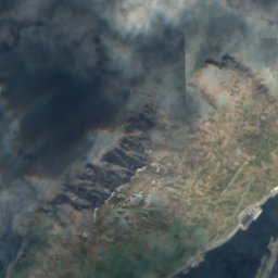
Bailey Ledge 하늘에서
주변 자연전국
위성: Sentinel-2 cloudless 2016(EOX IT Services GmbH) · CC BY 4.0 · 수정된 Copernicus Sentinel 데이터(2016) 포함
위성: Sentinel-2 cloudless 2016(EOX IT Services GmbH) · CC BY 4.0 · 수정된 Copernicus Sentinel 데이터(2016) 포함
위성: Sentinel-2 cloudless 2016(EOX IT Services GmbH) · CC BY 4.0 · 수정된 Copernicus Sentinel 데이터(2016) 포함
위성: Sentinel-2 cloudless 2016(EOX IT Services GmbH) · CC BY 4.0 · 수정된 Copernicus Sentinel 데이터(2016) 포함
위성: Sentinel-2 cloudless 2016(EOX IT Services GmbH) · CC BY 4.0 · 수정된 Copernicus Sentinel 데이터(2016) 포함
위성: Sentinel-2 cloudless 2016(EOX IT Services GmbH) · CC BY 4.0 · 수정된 Copernicus Sentinel 데이터(2016) 포함
주변 정상미국의 산

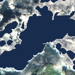
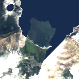
위성: Sentinel-2 cloudless 2016(EOX IT Services GmbH) · CC BY 4.0 · 수정된 Copernicus Sentinel 데이터(2016) 포함
위성: Sentinel-2 cloudless 2016(EOX IT Services GmbH) · CC BY 4.0 · 수정된 Copernicus Sentinel 데이터(2016) 포함

사진: National Institute for Occupational Safety and Health/ Ted Teske health communic · Public domain · Wikimedia Commons이 사진 신고 · 링크만, 저장 없음
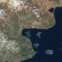
위성: Sentinel-2 cloudless 2016(EOX IT Services GmbH) · CC BY 4.0 · 수정된 Copernicus Sentinel 데이터(2016) 포함
근처 숙소
바로 근처의 지점


주변
어널래스카섬 일대
자연
위성: Sentinel-2 cloudless 2016(EOX IT Services GmbH) · CC BY 4.0 · 수정된 Copernicus Sentinel 데이터(2016) 포함
Unalaska Lake
호수

위성: Sentinel-2 cloudless 2016(EOX IT Services GmbH) · CC BY 4.0 · 수정된 Copernicus Sentinel 데이터(2016) 포함
Hog Island (Aleutian Islands)
섬
산
위성: Sentinel-2 cloudless 2016(EOX IT Services GmbH) · CC BY 4.0 · 수정된 Copernicus Sentinel 데이터(2016) 포함
Table Top Mountain
648 m · 알류산산맥
유산

사진: Brendan Minish (Flickr user bminish) from Castlebar, Ireland · CC BY 2.0 · Wikimedia Commons이 사진 신고 · 링크만, 저장 없음
Church of the Holy Ascension
미국역사기념물 · 1826




위성: Sentinel-2 cloudless 2016(EOX IT Services GmbH) · CC BY 4.0 · 수정된 Copernicus Sentinel 데이터(2016) 포함
Sitka Spruce Park
미국역사기념물 · 1805





위성: Sentinel-2 cloudless 2016(EOX IT Services GmbH) · CC BY 4.0 · 수정된 Copernicus Sentinel 데이터(2016) 포함
Dutch Harbor Naval Operating Base and Fort Mears, U.S. Army
미국역사기념물 · 1940