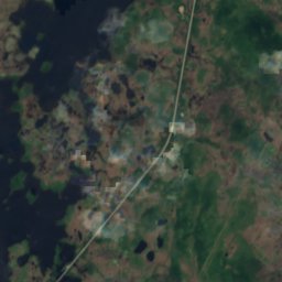
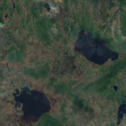
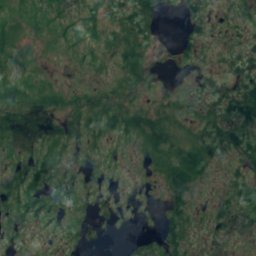
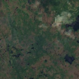
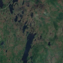
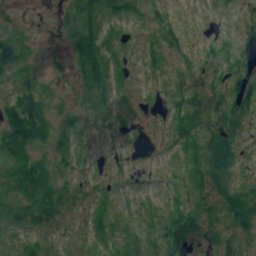
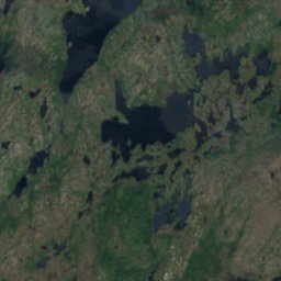
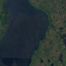
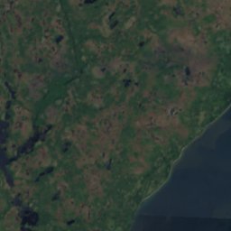
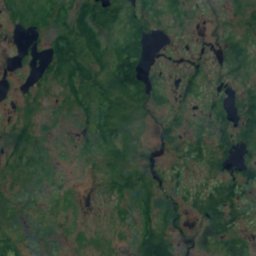
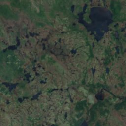

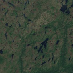
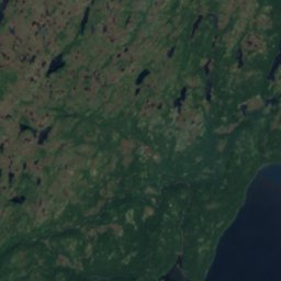
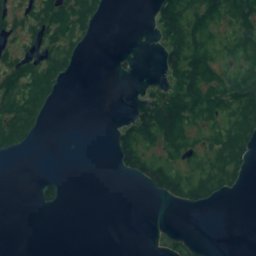


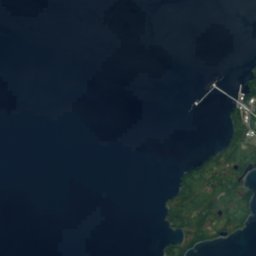
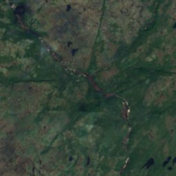
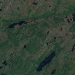
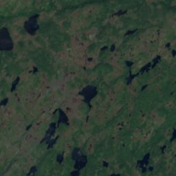
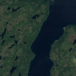
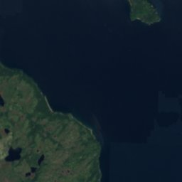



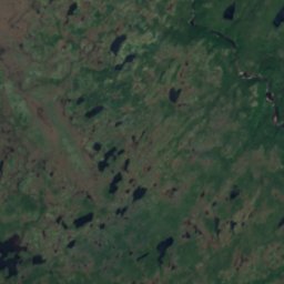
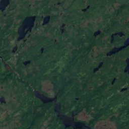
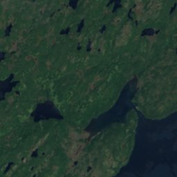
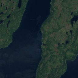
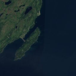

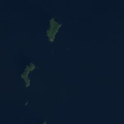

위성: Sentinel-2 cloudless 2016(EOX IT Services GmbH) · CC BY 4.0 · 수정된 Copernicus Sentinel 데이터(2016) 포함
동굴Arnold's Cove, Newfoundland and Labrador
Devils Chimney
동굴최적 7월–9월
고도–해발
동굴 내부5°C연중
가장 가까운 지점Arnold's Cove15 km
북위 47.78°, 서경 54.18°UTC−2:30 · 뉴펀들랜드 하계 표준시
여행 시기Arnold's Cove · 날씨 점수
최적 시기7월–9월
10월: 최고 / 최저10° / 7°
동굴
Devils Chimney 개요
Devils Chimney는 캐나다(Newfoundland and Labrador)에 있는 동굴입니다.
아틀라스에서 가장 가까운 지점은 동쪽으로 15 km 떨어진 Arnold's Cove입니다. 그곳의 날씨가 가장 쾌적한 달은 7월, 8월, 9월입니다.
동굴 내부는 일 년 내내 바깥 공기의 연평균 기온에 가까워, 약 5°C입니다.
주변의 현재 날씨
Arnold's Cove의 일기 예보8°
현재 날씨: 비
오늘
10월 22일
8°
5°
3 mm
금
10월 23일
7°
4°
15 mm
토
10월 24일
7°
4°
일
10월 25일
9°
2°
월
10월 26일
11°
7°
모델 계산 시각 00:00 UTC하루 여러 번 갱신
언제 갈까
Arnold's Cove의 기후Devils Chimney: 여행하기 좋은 시기
Arnold's Cove의 월별 평가
쾌적도, 비 없는 날, 일조 · 100점 만점15
1월
15
2월
15
3월
15
4월
15
5월
24
6월
50
7월
58
8월
45
9월
19
10월
15
11월
15
12월
지도
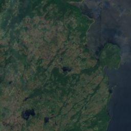
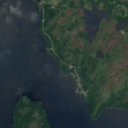
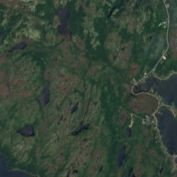
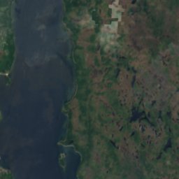
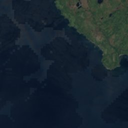
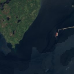
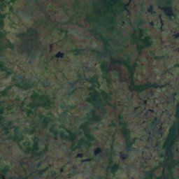
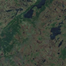
Devils Chimney 하늘에서
주변 자연전국
위성: Sentinel-2 cloudless 2016(EOX IT Services GmbH) · CC BY 4.0 · 수정된 Copernicus Sentinel 데이터(2016) 포함
위성: Sentinel-2 cloudless 2016(EOX IT Services GmbH) · CC BY 4.0 · 수정된 Copernicus Sentinel 데이터(2016) 포함
위성: Sentinel-2 cloudless 2016(EOX IT Services GmbH) · CC BY 4.0 · 수정된 Copernicus Sentinel 데이터(2016) 포함
위성: Sentinel-2 cloudless 2016(EOX IT Services GmbH) · CC BY 4.0 · 수정된 Copernicus Sentinel 데이터(2016) 포함
위성: Sentinel-2 cloudless 2016(EOX IT Services GmbH) · CC BY 4.0 · 수정된 Copernicus Sentinel 데이터(2016) 포함
위성: Sentinel-2 cloudless 2016(EOX IT Services GmbH) · CC BY 4.0 · 수정된 Copernicus Sentinel 데이터(2016) 포함
근처 숙소
바로 근처의 지점
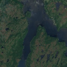
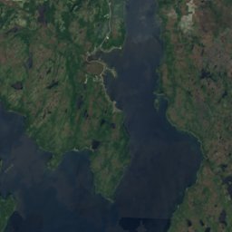
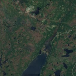
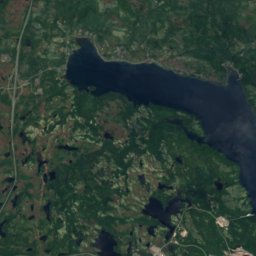
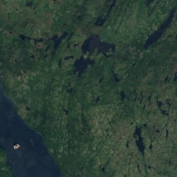
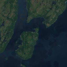
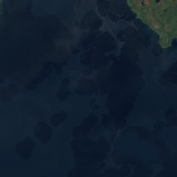
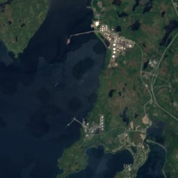
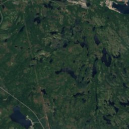
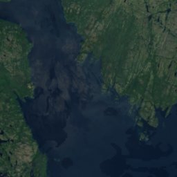
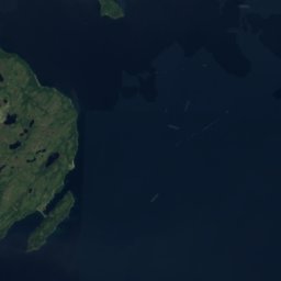
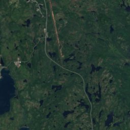
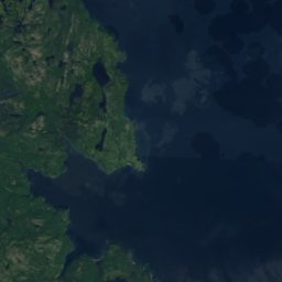
위성: Sentinel-2 cloudless 2016(EOX IT Services GmbH) · CC BY 4.0 · 수정된 Copernicus Sentinel 데이터(2016) 포함
Arnold's Cove
Newfoundland and Labrador · 15 km 동
10°10월 최고
17비 오는 날
19점수


주변
Arnold's Cove 일대
위성: Sentinel-2 cloudless 2016(EOX IT Services GmbH) · CC BY 4.0 · 수정된 Copernicus Sentinel 데이터(2016) 포함
Arnold's Cove
Newfoundland and Labrador · 캐나다
7월–9월여행 적기
16°7월 최고 기온
20 m고도
자연
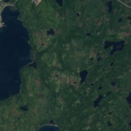
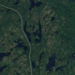
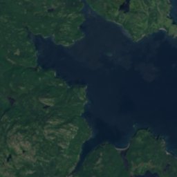


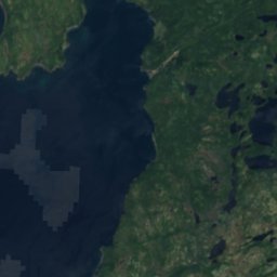
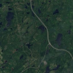
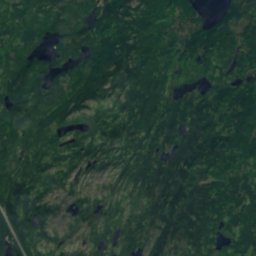
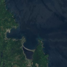

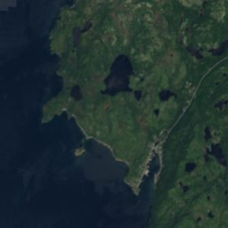
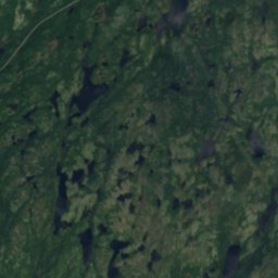
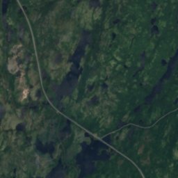
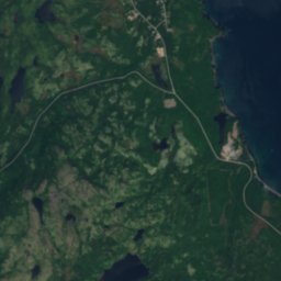
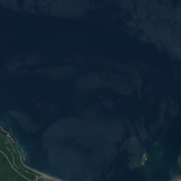
위성: Sentinel-2 cloudless 2016(EOX IT Services GmbH) · CC BY 4.0 · 수정된 Copernicus Sentinel 데이터(2016) 포함
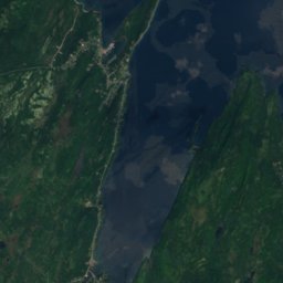
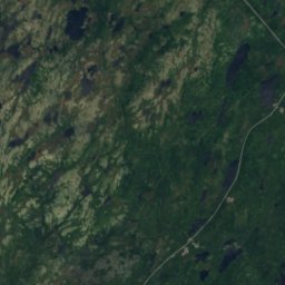
Rocky Pond Gullies
호수
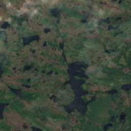
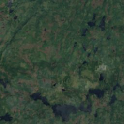
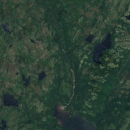
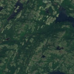
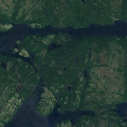
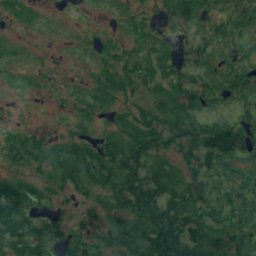
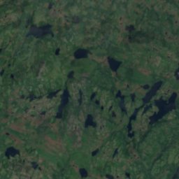
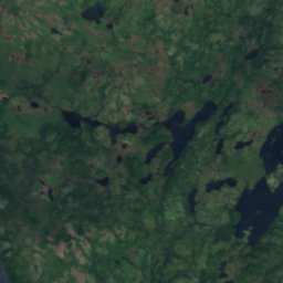
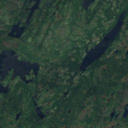
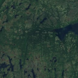
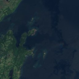
위성: Sentinel-2 cloudless 2016(EOX IT Services GmbH) · CC BY 4.0 · 수정된 Copernicus Sentinel 데이터(2016) 포함
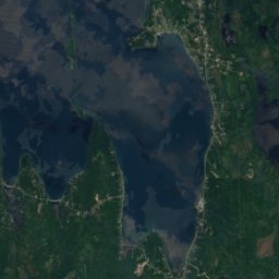
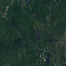
Deer Harbour Steady
호수
위성: Sentinel-2 cloudless 2016(EOX IT Services GmbH) · CC BY 4.0 · 수정된 Copernicus Sentinel 데이터(2016) 포함
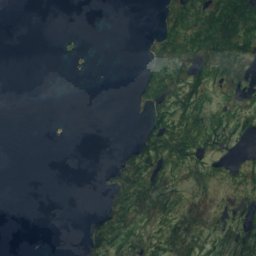
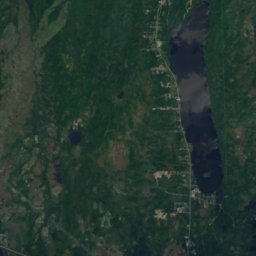
Southwest Arm Gully
호수
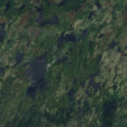
산
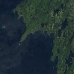
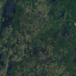
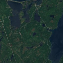
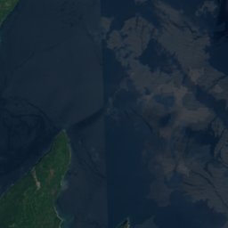
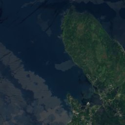
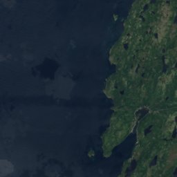
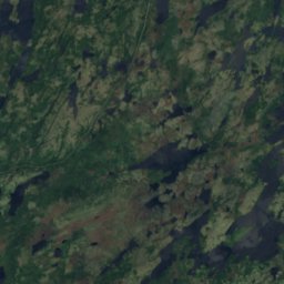
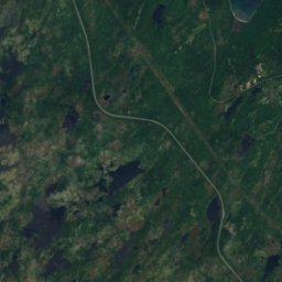
위성: Sentinel-2 cloudless 2016(EOX IT Services GmbH) · CC BY 4.0 · 수정된 Copernicus Sentinel 데이터(2016) 포함
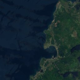
Normans Cove Tolt
122 m


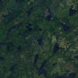
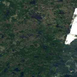


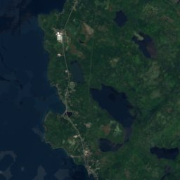
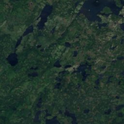
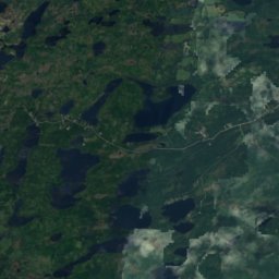
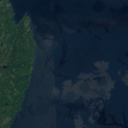
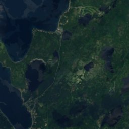
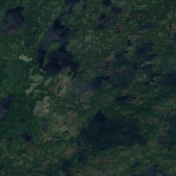
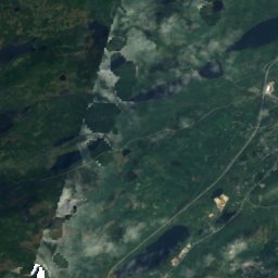
위성: Sentinel-2 cloudless 2016(EOX IT Services GmbH) · CC BY 4.0 · 수정된 Copernicus Sentinel 데이터(2016) 포함
Camels Back
93 m
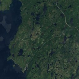
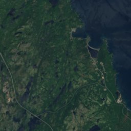
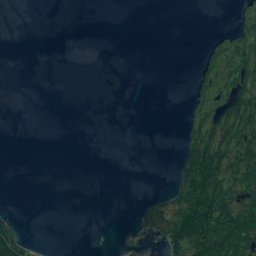
위성: Sentinel-2 cloudless 2016(EOX IT Services GmbH) · CC BY 4.0 · 수정된 Copernicus Sentinel 데이터(2016) 포함
Normans Cove Lookout
87 m
유산



위성: Sentinel-2 cloudless 2016(EOX IT Services GmbH) · CC BY 4.0 · 수정된 Copernicus Sentinel 데이터(2016) 포함