
 Faraglioni di Lipari
 Lipari
 Pietra del Bagno
 Monte Fossa delle Felci
섬Lipari, 시칠리아
불카노섬
섬해발 500 m최적 5월–7월
고도500 m해발
면적21 km²총면적
가장 가까운 지점Lipari7.1 km
북위 38.40°, 동경 14.97°고도 500 mUTC+2 · 중부유럽 하계 표준시
여행 시기Lipari · 날씨 점수
최적 시기5월–7월
10월: 최고 / 최저24° / 20°
섬
불카노섬 개요
불카노섬은 이탈리아(시칠리아)에 있습니다.
해발 500 m, 면적 약 21 km²입니다.
아틀라스에서 가장 가까운 지점은 북쪽으로 7.1 km 떨어진 Lipari입니다. 그곳의 날씨가 가장 쾌적한 달은 5월, 6월, 7월입니다.
주변의 현재 날씨
Lipari의 일기 예보23°
현재 날씨: 흐림
오늘
10월 22일
25°
22°
금
10월 23일
24°
22°
토
10월 24일
23°
21°
1 mm
일
10월 25일
22°
20°
1 mm
월
10월 26일
22°
20°
모델 계산 시각 00:00 UTC하루 여러 번 갱신
하늘에서 본 섬
21 km² · OpenStreetMap 지도 데이터 기준 해안선지도
불카노섬 하늘에서
주변 자연전국


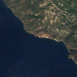
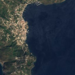




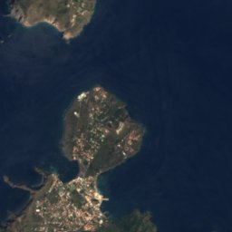




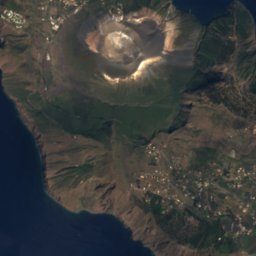
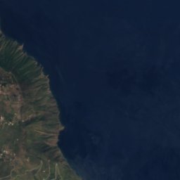
위성: Sentinel-2 cloudless 2016(EOX IT Services GmbH) · CC BY 4.0 · 수정된 Copernicus Sentinel 데이터(2016) 포함


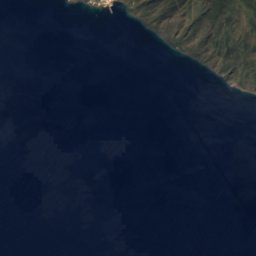
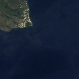
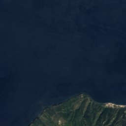
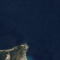


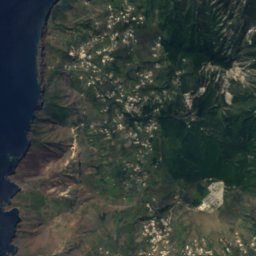
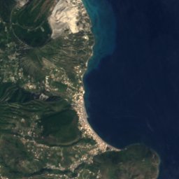

위성: Sentinel-2 cloudless 2016(EOX IT Services GmbH) · CC BY 4.0 · 수정된 Copernicus Sentinel 데이터(2016) 포함

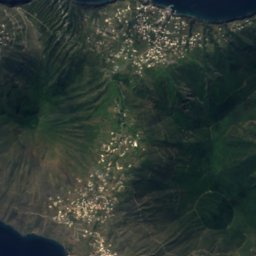
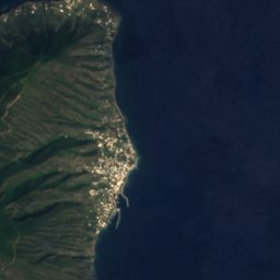



위성: Sentinel-2 cloudless 2016(EOX IT Services GmbH) · CC BY 4.0 · 수정된 Copernicus Sentinel 데이터(2016) 포함
주변 정상이탈리아의 산







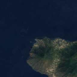
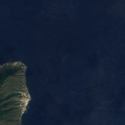



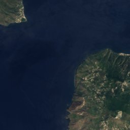
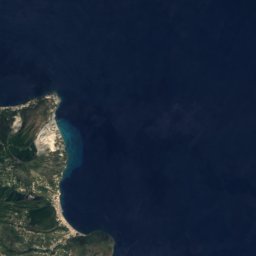
위성: Sentinel-2 cloudless 2016(EOX IT Services GmbH) · CC BY 4.0 · 수정된 Copernicus Sentinel 데이터(2016) 포함





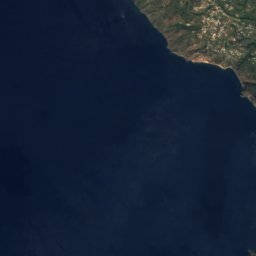
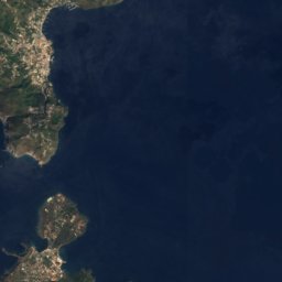

위성: Sentinel-2 cloudless 2016(EOX IT Services GmbH) · CC BY 4.0 · 수정된 Copernicus Sentinel 데이터(2016) 포함


근처 숙소
바로 근처의 지점


주변
Lipari 일대
자연
위성: Sentinel-2 cloudless 2016(EOX IT Services GmbH) · CC BY 4.0 · 수정된 Copernicus Sentinel 데이터(2016) 포함
Lipari
섬 · 20 m
산
위성: Sentinel-2 cloudless 2016(EOX IT Services GmbH) · CC BY 4.0 · 수정된 Copernicus Sentinel 데이터(2016) 포함
Monte deo Porri
960 m

유산


사진: This image was taken by the NASA Expedition 17 crew. · Public domain · Wikimedia Commons이 사진 신고 · 링크만, 저장 없음
에올리에 제도
유네스코 세계유산
박물관·미술관

Museo archeologico regionale eoliano (Lipari)
자연사 박물관 · 1954


위성: Sentinel-2 cloudless 2016(EOX IT Services GmbH) · CC BY 4.0 · 수정된 Copernicus Sentinel 데이터(2016) 포함
Museo etnografico eoliano
민족학 박물관


위성: Sentinel-2 cloudless 2016(EOX IT Services GmbH) · CC BY 4.0 · 수정된 Copernicus Sentinel 데이터(2016) 포함
Museo diocesano di Lipari
종교 박물관