
 Bertoldsheimer Stausee
 Mauerner Höhlen
 Uhlberg, Bavaria
 Hühnerberg (Swabia)
강Marxheim, 바이에른주
레히강
강해발 400 m최적 7월–9월
고도400 m해발
길이248 km발원지에서 하구까지
가장 가까운 지점Marxheim0.9 km
북위 48.73°, 동경 10.94°고도 400 mUTC+1 · 중부유럽 표준시
여행 시기Marxheim · 날씨 점수
최적 시기7월–9월
10월: 최고 / 최저14° / 5°
강
레히강 개요
레히강은 독일(바이에른주)에 있습니다.
해발 400 m입니다.
가장 가까운 지점은 북동쪽으로 0.9 km 떨어진 Marxheim입니다. 그곳의 날씨가 가장 쾌적한 달은 7월, 8월, 9월입니다.
레히강의 길이는 248 km입니다.
주변의 현재 날씨
Marxheim의 일기 예보6°
현재 날씨: 비
오늘
10월 25일
11°
5°
19 mm
월
10월 26일
12°
4°
화
10월 27일
14°
4°
수
10월 28일
12°
5°
1 mm
목
10월 29일
11°
2°
모델 계산 시각 12:00 UTC하루 여러 번 갱신
강의 물길
OpenStreetMap 지도 데이터를 기준으로 하며, 강변의 도시도 함께 표시합니다.- 1퓌센808 m
- 2슈방가우800 m
- 3Roßhaupten819 m
- 4숑가우713 m
- 5Denklingen684 m
- 6Vilgertshofen703 m
- 7Pürgen646 m
- 8란츠베르크암레히637 m
- 9Scheuring556 m
- 10아우크스부르크489 m
- 11Gersthofen473 m
- 12Langweid am Lech449 m
- 13Meitingen432 m
- 14Rain410 m
발원지하구 (또는 지도상의 물길이 국외로 나가는 지점)
언제 갈까
Marxheim의 기후레히강: 여행하기 좋은 시기
Marxheim의 월별 평가
쾌적도, 비 없는 날, 일조 · 100점 만점21
1월
28
2월
27
3월
59
4월
63
5월
65
6월
66
7월
69
8월
73
9월
45
10월
26
11월
18
12월
지도
레히강 하늘에서
주변 자연전국

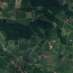
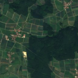
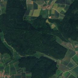
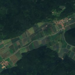
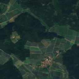
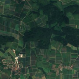
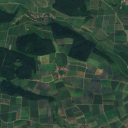
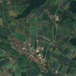
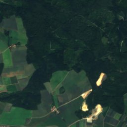
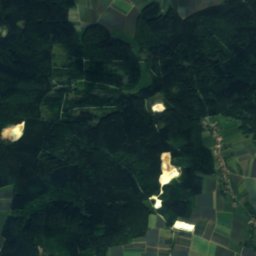
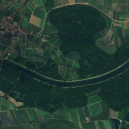
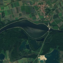
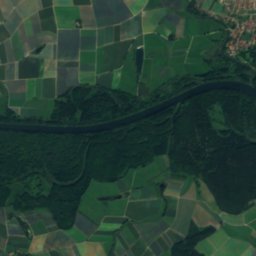
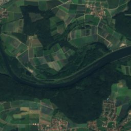
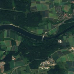
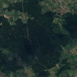
위성: Sentinel-2 cloudless 2016(EOX IT Services GmbH) · CC BY 4.0 · 수정된 Copernicus Sentinel 데이터(2016) 포함
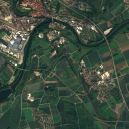
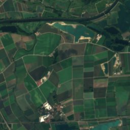
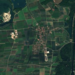
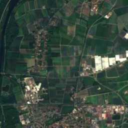
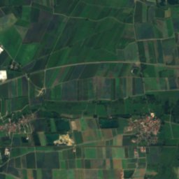
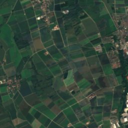
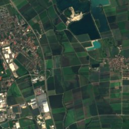
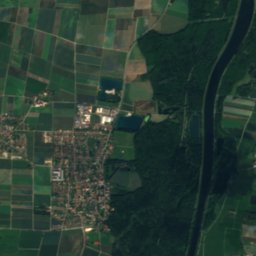
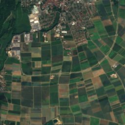
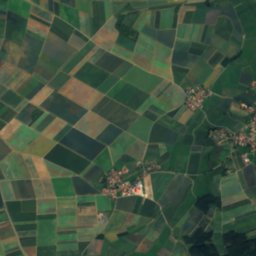
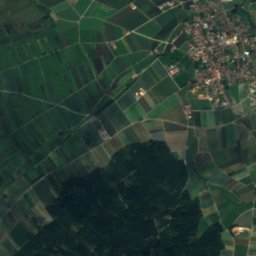
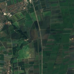
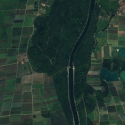
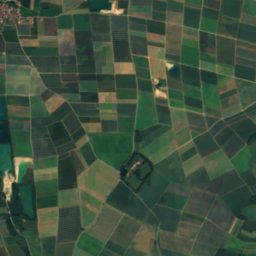
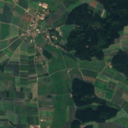
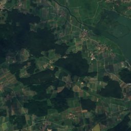
위성: Sentinel-2 cloudless 2016(EOX IT Services GmbH) · CC BY 4.0 · 수정된 Copernicus Sentinel 데이터(2016) 포함
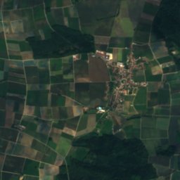
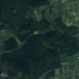
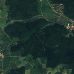
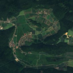
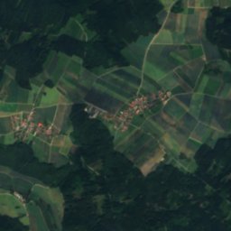
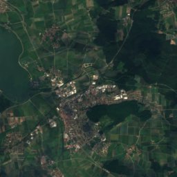
위성: Sentinel-2 cloudless 2016(EOX IT Services GmbH) · CC BY 4.0 · 수정된 Copernicus Sentinel 데이터(2016) 포함

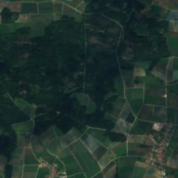
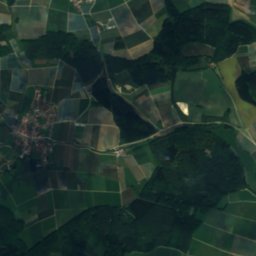
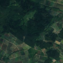
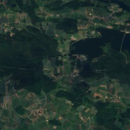
위성: Sentinel-2 cloudless 2016(EOX IT Services GmbH) · CC BY 4.0 · 수정된 Copernicus Sentinel 데이터(2016) 포함
주변 정상독일의 산
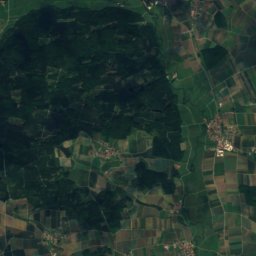
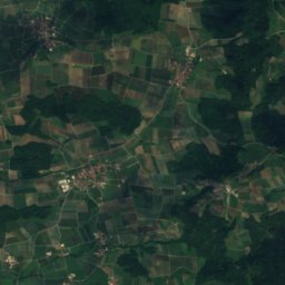
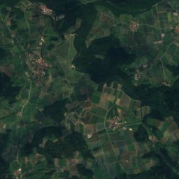
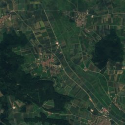
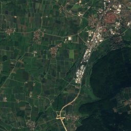
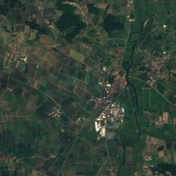
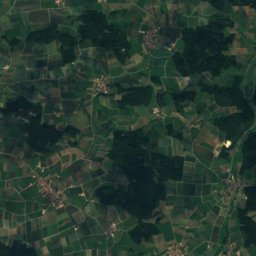
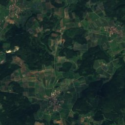
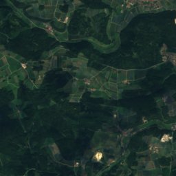
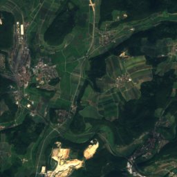
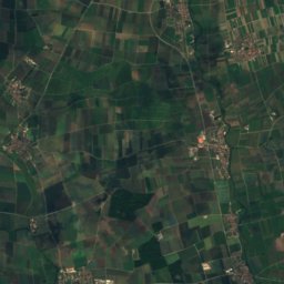
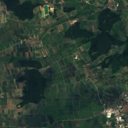
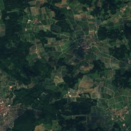
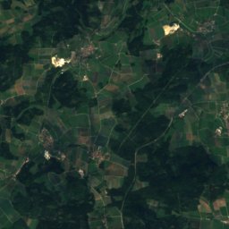
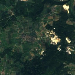
위성: Sentinel-2 cloudless 2016(EOX IT Services GmbH) · CC BY 4.0 · 수정된 Copernicus Sentinel 데이터(2016) 포함

위성: Sentinel-2 cloudless 2016(EOX IT Services GmbH) · CC BY 4.0 · 수정된 Copernicus Sentinel 데이터(2016) 포함
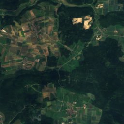
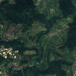
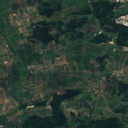
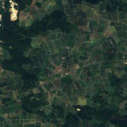
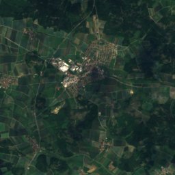
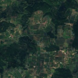
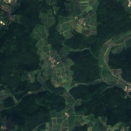
위성: Sentinel-2 cloudless 2016(EOX IT Services GmbH) · CC BY 4.0 · 수정된 Copernicus Sentinel 데이터(2016) 포함

위성: Sentinel-2 cloudless 2016(EOX IT Services GmbH) · CC BY 4.0 · 수정된 Copernicus Sentinel 데이터(2016) 포함
근처 숙소
바로 근처의 지점


주변
Marxheim 일대
자연

위성: Sentinel-2 cloudless 2016(EOX IT Services GmbH) · CC BY 4.0 · 수정된 Copernicus Sentinel 데이터(2016) 포함
Kleine Paar
강
위성: Sentinel-2 cloudless 2016(EOX IT Services GmbH) · CC BY 4.0 · 수정된 Copernicus Sentinel 데이터(2016) 포함
Münsterer Alte
강
산

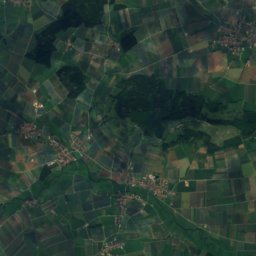
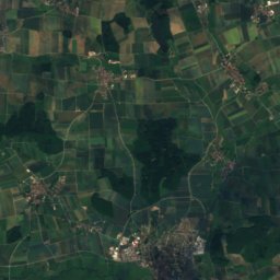
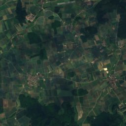
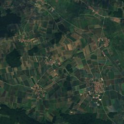
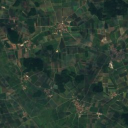
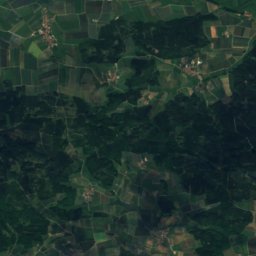
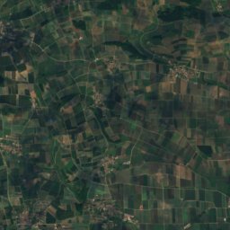
위성: Sentinel-2 cloudless 2016(EOX IT Services GmbH) · CC BY 4.0 · 수정된 Copernicus Sentinel 데이터(2016) 포함
Efferaberg
645 m
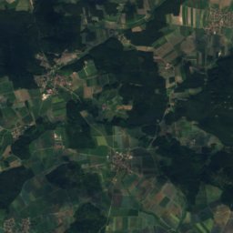
위성: Sentinel-2 cloudless 2016(EOX IT Services GmbH) · CC BY 4.0 · 수정된 Copernicus Sentinel 데이터(2016) 포함
Spielberg, Bavaria
645 m


