자연
차드의 물가, 빙하, 야생
호수, 폭포, 빙하, 국립공원, 산장. 각각의 위치, 규모, 주변 날씨를 소개합니다.
호수3곳(개별 페이지 있음)
국립공원1곳(개별 페이지 있음)
강1곳(개별 페이지 있음)

호수
차드의 호수

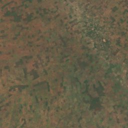
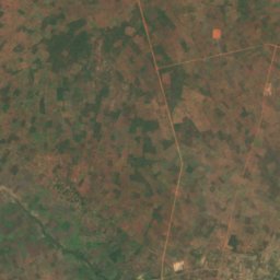
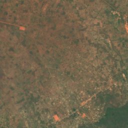
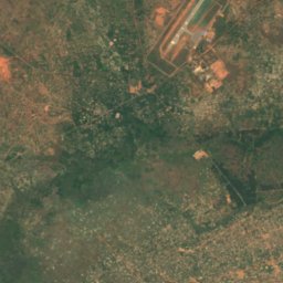
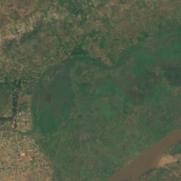
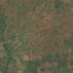
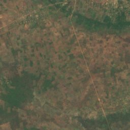
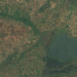
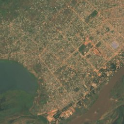
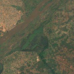
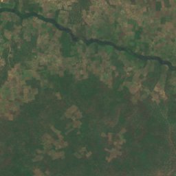
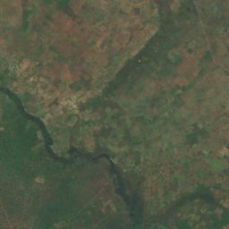
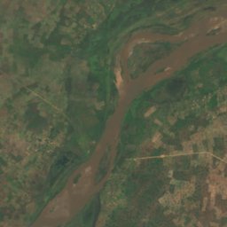
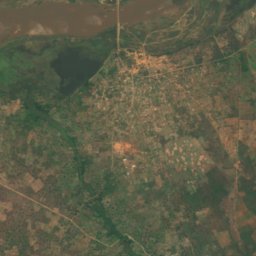
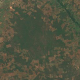
위성: Sentinel-2 cloudless 2016(EOX IT Services GmbH) · CC BY 4.0 · 수정된 Copernicus Sentinel 데이터(2016) 포함
Lac Wey
Moundou, Logone Occidental
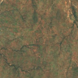
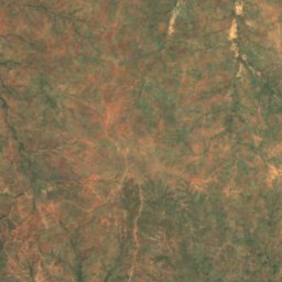
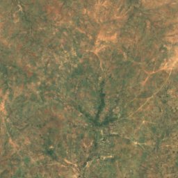
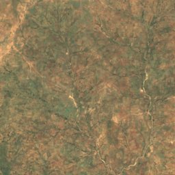
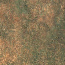
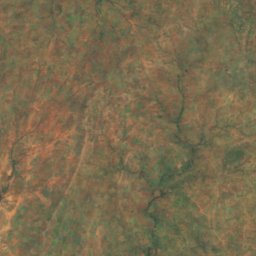
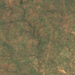
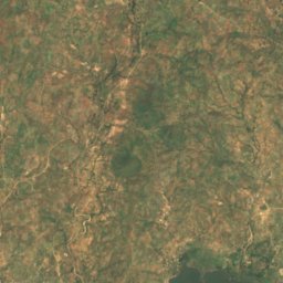
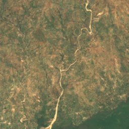
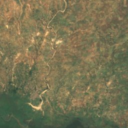
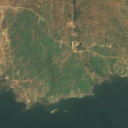
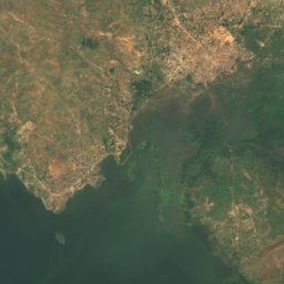
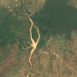
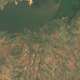
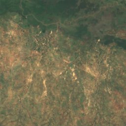
위성: Sentinel-2 cloudless 2016(EOX IT Services GmbH) · CC BY 4.0 · 수정된 Copernicus Sentinel 데이터(2016) 포함
Lake Tréné
Léré, Mayo-Kebbi Ouest
231 m
국립공원
차드의 국립공원
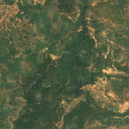
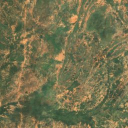
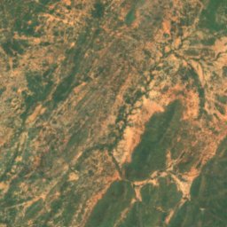
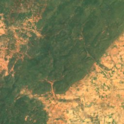
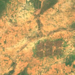
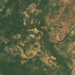
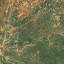
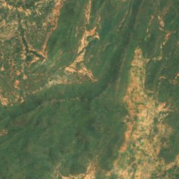
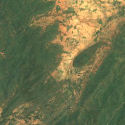
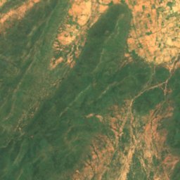
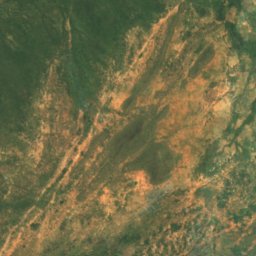
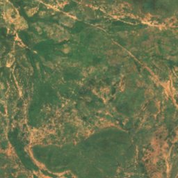
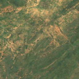
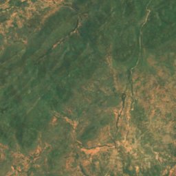
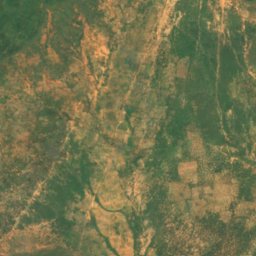
위성: Sentinel-2 cloudless 2016(EOX IT Services GmbH) · CC BY 4.0 · 수정된 Copernicus Sentinel 데이터(2016) 포함
Goz Beïda National Park
Goz Beïda, Sila
3,000 km²
강
차드의 강
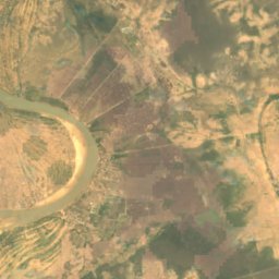
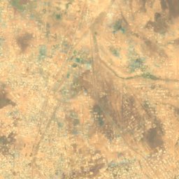
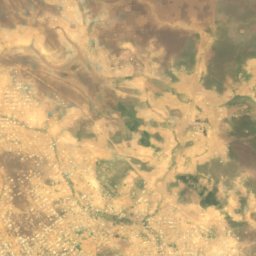
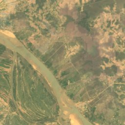
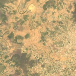
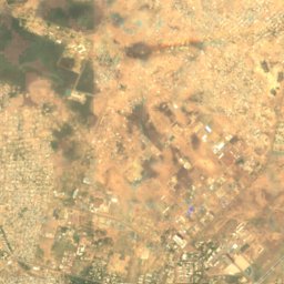
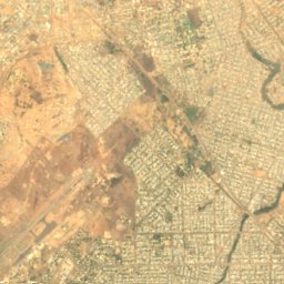
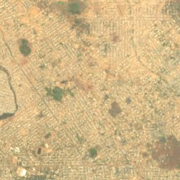
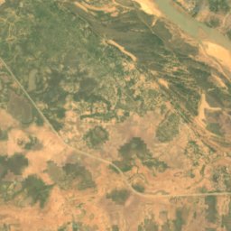
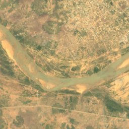
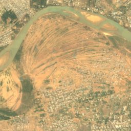
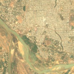
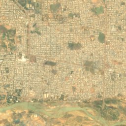

위성: Sentinel-2 cloudless 2016(EOX IT Services GmbH) · CC BY 4.0 · 수정된 Copernicus Sentinel 데이터(2016) 포함
Logone River
N'Djamena, N’Djaména