ธรรมชาติ
แหล่งน้ำ ธารน้ำแข็ง และธรรมชาติอันกว้างใหญ่ของคูเวต
ทะเลสาบ น้ำตก ธารน้ำแข็ง อุทยานแห่งชาติ และที่พักบนภูเขา แต่ละแห่งพร้อมที่ตั้ง ขนาด และสภาพอากาศโดยรอบ
เกาะ17แต่ละแห่งมีหน้าของตัวเอง
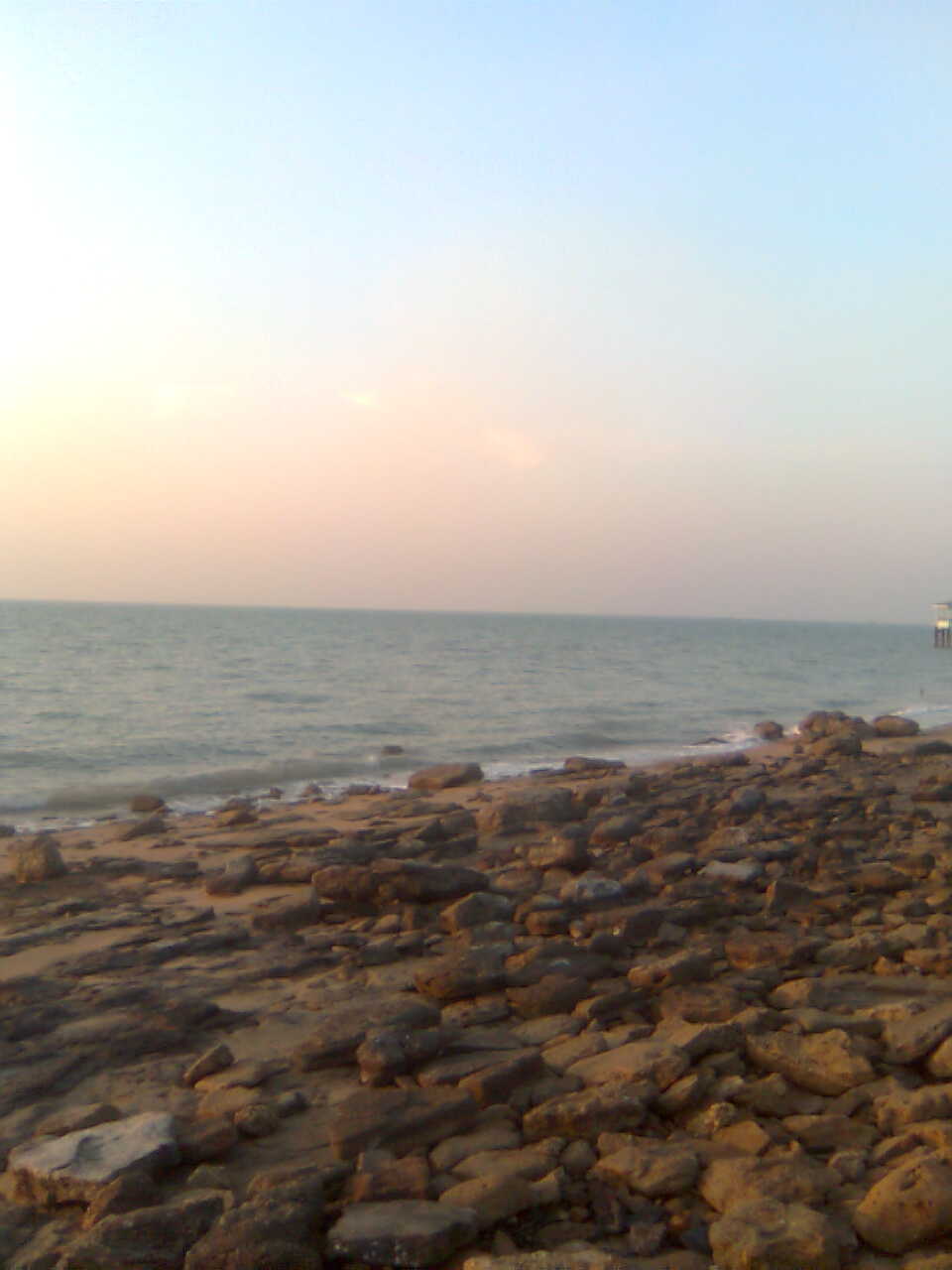
เกาะ
เกาะในคูเวต

ภาพ: Rameena ans · CC BY-SA 4.0 · Wikimedia Commonsแจ้งเกี่ยวกับภาพนี้ · ลิงก์ไปยังต้นทาง ไม่จัดเก็บ
Green Island (Kuwait)
Hawally, เขตฮะวัลลี
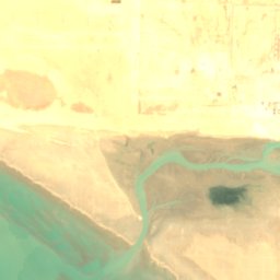
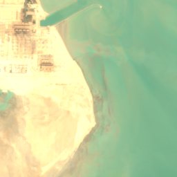



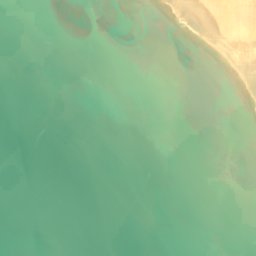
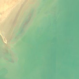





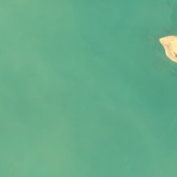
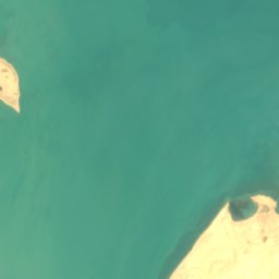
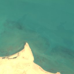
ดาวเทียม: Sentinel-2 cloudless 2016 โดย EOX IT Services GmbH · CC BY 4.0 · มีข้อมูล Copernicus Sentinel (2016) ที่ดัดแปลงแล้ว
Miskan Island
Az Zawr, Al Asimah
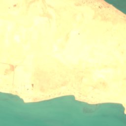
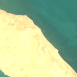




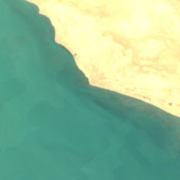
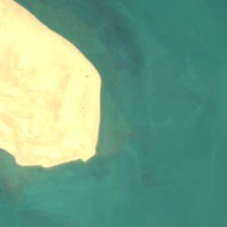





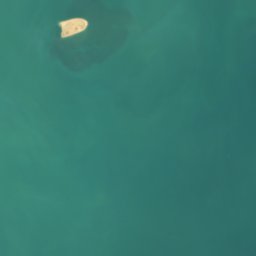

ดาวเทียม: Sentinel-2 cloudless 2016 โดย EOX IT Services GmbH · CC BY 4.0 · มีข้อมูล Copernicus Sentinel (2016) ที่ดัดแปลงแล้ว
Auhah Island
Az Zawr, Al Asimah
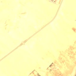
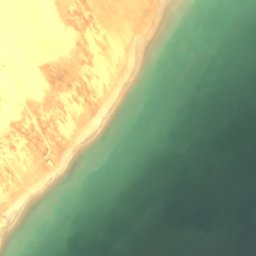



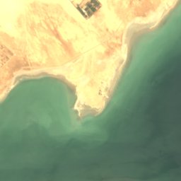
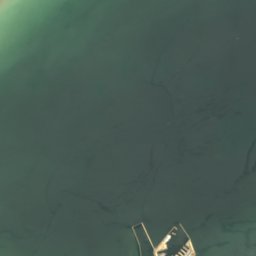
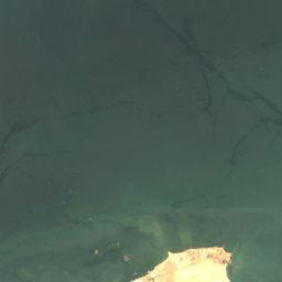
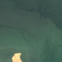
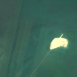
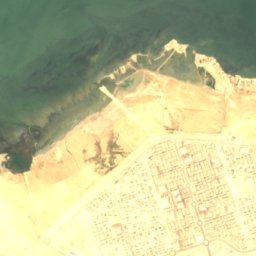
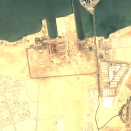
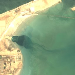
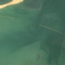
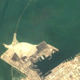
ดาวเทียม: Sentinel-2 cloudless 2016 โดย EOX IT Services GmbH · CC BY 4.0 · มีข้อมูล Copernicus Sentinel (2016) ที่ดัดแปลงแล้ว
Umm an Namil Island
คูเวตซิตี, Al Asimah
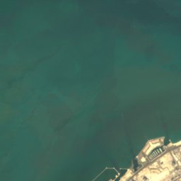
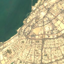
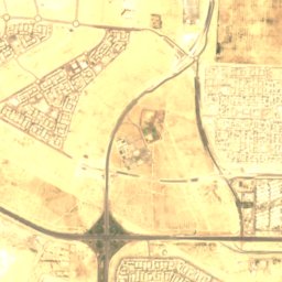
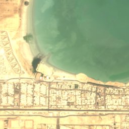
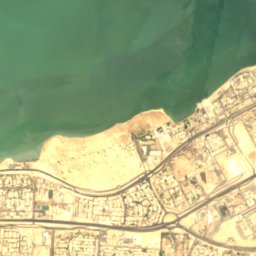
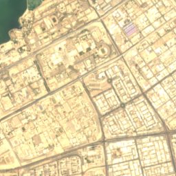
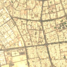
ดาวเทียม: Sentinel-2 cloudless 2016 โดย EOX IT Services GmbH · CC BY 4.0 · มีข้อมูล Copernicus Sentinel (2016) ที่ดัดแปลงแล้ว
Shuwaikh Island
คูเวตซิตี, Al Asimah
ดาวเทียม: Sentinel-2 cloudless 2016 โดย EOX IT Services GmbH · CC BY 4.0 · มีข้อมูล Copernicus Sentinel (2016) ที่ดัดแปลงแล้ว
Al ‘Akāz
คูเวตซิตี, Al Asimah
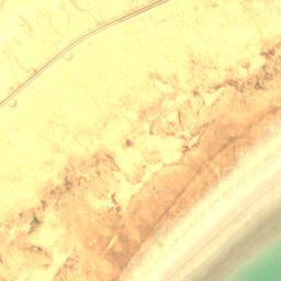
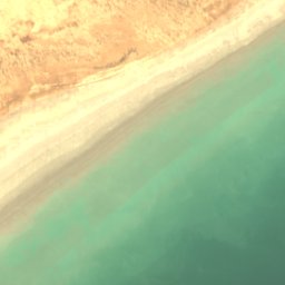
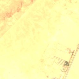
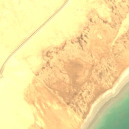
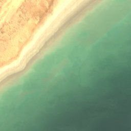

ดาวเทียม: Sentinel-2 cloudless 2016 โดย EOX IT Services GmbH · CC BY 4.0 · มีข้อมูล Copernicus Sentinel (2016) ที่ดัดแปลงแล้ว
Fasht Qushayr
คูเวตซิตี, Al Asimah





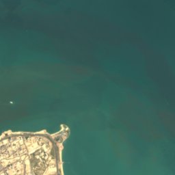


ดาวเทียม: Sentinel-2 cloudless 2016 โดย EOX IT Services GmbH · CC BY 4.0 · มีข้อมูล Copernicus Sentinel (2016) ที่ดัดแปลงแล้ว
Fasht al Hadibah
คูเวตซิตี, Al Asimah