ธรรมชาติ
แหล่งน้ำ ธารน้ำแข็ง และธรรมชาติอันกว้างใหญ่ของเกรเนดา
ทะเลสาบ น้ำตก ธารน้ำแข็ง อุทยานแห่งชาติ และที่พักบนภูเขา แต่ละแห่งพร้อมที่ตั้ง ขนาด และสภาพอากาศโดยรอบ
ทะเลสาบ3แต่ละแห่งมีหน้าของตัวเอง
น้ำตก9แต่ละแห่งมีหน้าของตัวเอง
ชายหาด14แต่ละแห่งมีหน้าของตัวเอง
เกาะ17แต่ละแห่งมีหน้าของตัวเอง

ภาพ: User: Bgabel at wikivoyage shared · CC BY-SA 3.0 · Wikimedia Commonsแจ้งเกี่ยวกับภาพนี้ · ลิงก์ไปยังต้นทาง ไม่จัดเก็บ
ทะเลสาบ
ทะเลสาบในเกรเนดา
ภาพ: User: Bgabel at wikivoyage shared · CC BY-SA 3.0 · Wikimedia Commonsแจ้งเกี่ยวกับภาพนี้ · ลิงก์ไปยังต้นทาง ไม่จัดเก็บ
Grand Etang Lake
Saint David’s, Saint David Parish
0.1 km²

ภาพ: Stefan_und_Bille · CC BY-SA 3.0 · Wikimedia Commonsแจ้งเกี่ยวกับภาพนี้ · ลิงก์ไปยังต้นทาง ไม่จัดเก็บ
Lake Antoine
Upper La Taste, Saint Patrick Parish
0.2 km²
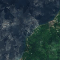


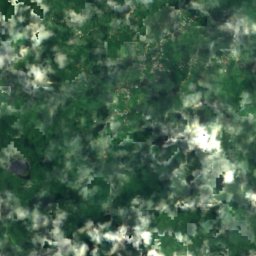
ดาวเทียม: Sentinel-2 cloudless 2016 โดย EOX IT Services GmbH · CC BY 4.0 · มีข้อมูล Copernicus Sentinel (2016) ที่ดัดแปลงแล้ว
Palmiste Lake
Grand Roy, Saint John Parish
น้ำตก
น้ำตกในเกรเนดา

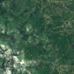
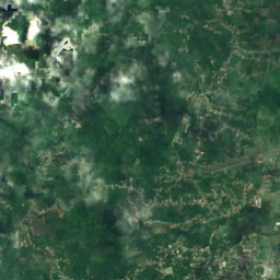
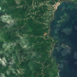
ดาวเทียม: Sentinel-2 cloudless 2016 โดย EOX IT Services GmbH · CC BY 4.0 · มีข้อมูล Copernicus Sentinel (2016) ที่ดัดแปลงแล้ว
Concord Falls
Grand Roy, Saint John Parish
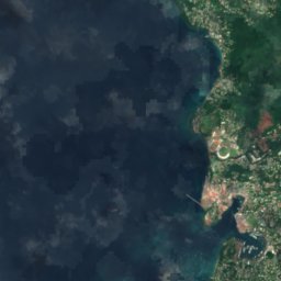
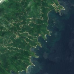
ดาวเทียม: Sentinel-2 cloudless 2016 โดย EOX IT Services GmbH · CC BY 4.0 · มีข้อมูล Copernicus Sentinel (2016) ที่ดัดแปลงแล้ว
Annandale Waterfall
St. George's, Saint George Parish
ดาวเทียม: Sentinel-2 cloudless 2016 โดย EOX IT Services GmbH · CC BY 4.0 · มีข้อมูล Copernicus Sentinel (2016) ที่ดัดแปลงแล้ว
Castine Waterfall
Grenville, Saint Andrew Parish
160 m
ดาวเทียม: Sentinel-2 cloudless 2016 โดย EOX IT Services GmbH · CC BY 4.0 · มีข้อมูล Copernicus Sentinel (2016) ที่ดัดแปลงแล้ว
Fontainbleu Falls
Grand Roy, Saint John Parish
ดาวเทียม: Sentinel-2 cloudless 2016 โดย EOX IT Services GmbH · CC BY 4.0 · มีข้อมูล Copernicus Sentinel (2016) ที่ดัดแปลงแล้ว
Golden Falls
Grenville, Saint Andrew Parish
170 m
ดาวเทียม: Sentinel-2 cloudless 2016 โดย EOX IT Services GmbH · CC BY 4.0 · มีข้อมูล Copernicus Sentinel (2016) ที่ดัดแปลงแล้ว
Mt. Carmel Falls
Grenville, Saint Andrew Parish
ดาวเทียม: Sentinel-2 cloudless 2016 โดย EOX IT Services GmbH · CC BY 4.0 · มีข้อมูล Copernicus Sentinel (2016) ที่ดัดแปลงแล้ว
Seven Sisters Waterfalls
Saint David’s, Saint David Parish
ดาวเทียม: Sentinel-2 cloudless 2016 โดย EOX IT Services GmbH · CC BY 4.0 · มีข้อมูล Copernicus Sentinel (2016) ที่ดัดแปลงแล้ว
Mount Carmel Waterfall
Grenville, Saint Andrew Parish
ชายหาด
ชายหาดในเกรเนดา

ภาพ: Stefan_und_Bille · CC BY-SA 3.0 · Wikimedia Commonsแจ้งเกี่ยวกับภาพนี้ · ลิงก์ไปยังต้นทาง ไม่จัดเก็บ
Morne Rouge Beach
St. George's, Saint George Parish

ภาพ: Stefan_und_Bille · CC BY-SA 3.0 · Wikimedia Commonsแจ้งเกี่ยวกับภาพนี้ · ลิงก์ไปยังต้นทาง ไม่จัดเก็บ
La Sagesse Beach
Saint David’s, Saint David Parish


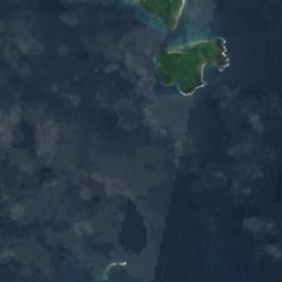
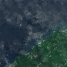
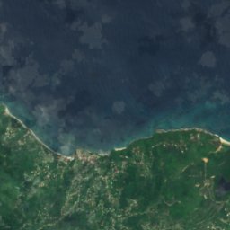
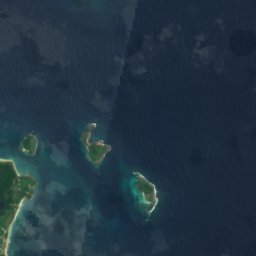
ดาวเทียม: Sentinel-2 cloudless 2016 โดย EOX IT Services GmbH · CC BY 4.0 · มีข้อมูล Copernicus Sentinel (2016) ที่ดัดแปลงแล้ว
Bathway Beach
Upper La Taste, Saint Patrick Parish

ดาวเทียม: Sentinel-2 cloudless 2016 โดย EOX IT Services GmbH · CC BY 4.0 · มีข้อมูล Copernicus Sentinel (2016) ที่ดัดแปลงแล้ว
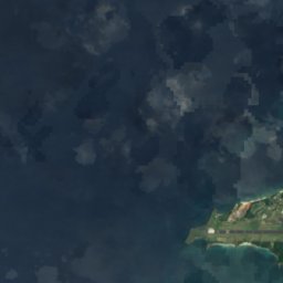
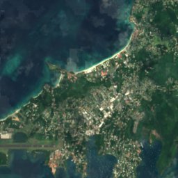
Benago Beach
Gouyave, Saint John Parish
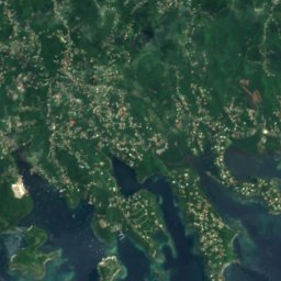
ดาวเทียม: Sentinel-2 cloudless 2016 โดย EOX IT Services GmbH · CC BY 4.0 · มีข้อมูล Copernicus Sentinel (2016) ที่ดัดแปลงแล้ว
Cato Beach
St. George's, Saint George Parish
ดาวเทียม: Sentinel-2 cloudless 2016 โดย EOX IT Services GmbH · CC BY 4.0 · มีข้อมูล Copernicus Sentinel (2016) ที่ดัดแปลงแล้ว
Grand Anse Beach
St. George's, Saint George Parish
ดาวเทียม: Sentinel-2 cloudless 2016 โดย EOX IT Services GmbH · CC BY 4.0 · มีข้อมูล Copernicus Sentinel (2016) ที่ดัดแปลงแล้ว
Grooms beach
St. George's, Saint George Parish
ดาวเทียม: Sentinel-2 cloudless 2016 โดย EOX IT Services GmbH · CC BY 4.0 · มีข้อมูล Copernicus Sentinel (2016) ที่ดัดแปลงแล้ว
Gwalas Beach
St. George's, Saint George Parish
ดาวเทียม: Sentinel-2 cloudless 2016 โดย EOX IT Services GmbH · CC BY 4.0 · มีข้อมูล Copernicus Sentinel (2016) ที่ดัดแปลงแล้ว
Magazin Beach
St. George's, Saint George Parish
เกาะ
เกาะในเกรเนดา

ภาพ: Stefan_und_Bille · CC BY-SA 3.0 · Wikimedia Commonsแจ้งเกี่ยวกับภาพนี้ · ลิงก์ไปยังต้นทาง ไม่จัดเก็บ
Grenada
Gouyave, Saint John Parish
840 m

ภาพ: Earth Science and Remote Sensing Unit, Lyndon B. Johnson Space Center · Public domain · Wikimedia Commonsแจ้งเกี่ยวกับภาพนี้ · ลิงก์ไปยังต้นทาง ไม่จัดเก็บ
Ronde Island
Sauteurs, Saint Patrick Parish


ภาพ: Stefan_und_Bille · CC BY-SA 3.0 · Wikimedia Commonsแจ้งเกี่ยวกับภาพนี้ · ลิงก์ไปยังต้นทาง ไม่จัดเก็บ
Calivigny Island
St. George's, Saint George Parish




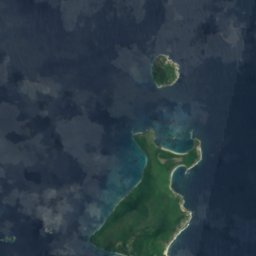
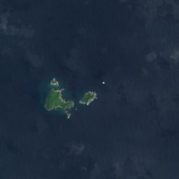
ดาวเทียม: Sentinel-2 cloudless 2016 โดย EOX IT Services GmbH · CC BY 4.0 · มีข้อมูล Copernicus Sentinel (2016) ที่ดัดแปลงแล้ว
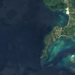
Caille Island
Sauteurs, Saint Patrick Parish



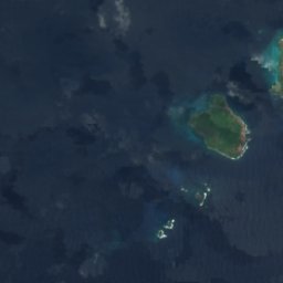
ดาวเทียม: Sentinel-2 cloudless 2016 โดย EOX IT Services GmbH · CC BY 4.0 · มีข้อมูล Copernicus Sentinel (2016) ที่ดัดแปลงแล้ว
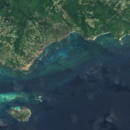
Large Island
Sauteurs, Saint Patrick Parish

ดาวเทียม: Sentinel-2 cloudless 2016 โดย EOX IT Services GmbH · CC BY 4.0 · มีข้อมูล Copernicus Sentinel (2016) ที่ดัดแปลงแล้ว
Diamond Island
Sauteurs, Saint Patrick Parish
ดาวเทียม: Sentinel-2 cloudless 2016 โดย EOX IT Services GmbH · CC BY 4.0 · มีข้อมูล Copernicus Sentinel (2016) ที่ดัดแปลงแล้ว
Glover Island
St. George's, Saint George Parish
ดาวเทียม: Sentinel-2 cloudless 2016 โดย EOX IT Services GmbH · CC BY 4.0 · มีข้อมูล Copernicus Sentinel (2016) ที่ดัดแปลงแล้ว
Sugar Loaf Island
Sauteurs, Saint Patrick Parish
แม่น้ำ
แม่น้ำในเกรเนดา
ดาวเทียม: Sentinel-2 cloudless 2016 โดย EOX IT Services GmbH · CC BY 4.0 · มีข้อมูล Copernicus Sentinel (2016) ที่ดัดแปลงแล้ว
River Simon
Grenville, Saint Andrew Parish
ดาวเทียม: Sentinel-2 cloudless 2016 โดย EOX IT Services GmbH · CC BY 4.0 · มีข้อมูล Copernicus Sentinel (2016) ที่ดัดแปลงแล้ว
Balthazar River, Grenada
Grenville, Saint Andrew Parish
141 m
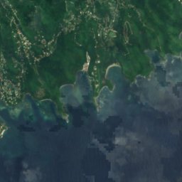
ดาวเทียม: Sentinel-2 cloudless 2016 โดย EOX IT Services GmbH · CC BY 4.0 · มีข้อมูล Copernicus Sentinel (2016) ที่ดัดแปลงแล้ว
Crochu River
Saint David’s, Saint David Parish
8 m


ดาวเทียม: Sentinel-2 cloudless 2016 โดย EOX IT Services GmbH · CC BY 4.0 · มีข้อมูล Copernicus Sentinel (2016) ที่ดัดแปลงแล้ว
Gouyave River
Gouyave, Saint John Parish
ดาวเทียม: Sentinel-2 cloudless 2016 โดย EOX IT Services GmbH · CC BY 4.0 · มีข้อมูล Copernicus Sentinel (2016) ที่ดัดแปลงแล้ว
Grand Bras River
Grenville, Saint Andrew Parish
ดาวเทียม: Sentinel-2 cloudless 2016 โดย EOX IT Services GmbH · CC BY 4.0 · มีข้อมูล Copernicus Sentinel (2016) ที่ดัดแปลงแล้ว
Great River of Grand Bacolet
Saint David’s, Saint David Parish
ดาวเทียม: Sentinel-2 cloudless 2016 โดย EOX IT Services GmbH · CC BY 4.0 · มีข้อมูล Copernicus Sentinel (2016) ที่ดัดแปลงแล้ว
La Tante River
Saint David’s, Saint David Parish
ดาวเทียม: Sentinel-2 cloudless 2016 โดย EOX IT Services GmbH · CC BY 4.0 · มีข้อมูล Copernicus Sentinel (2016) ที่ดัดแปลงแล้ว
Little River of Great Bacolet
Grenville, Saint Andrew Parish
ดาวเทียม: Sentinel-2 cloudless 2016 โดย EOX IT Services GmbH · CC BY 4.0 · มีข้อมูล Copernicus Sentinel (2016) ที่ดัดแปลงแล้ว
Marquis River
Grenville, Saint Andrew Parish
รายการทั้งหมด: แม่น้ำ 50 แห่ง
- Antoine River
- Balthazar River, Grenada
- Beauséjour River
- Black Bay River
- Bon Accord River
- Calabasse River
- Charlotte River
- Chemin River
- Crochu River
- Douce River
- Duquesne River
- Gaulier River
- Gouyave River
- Grand Bras River
- Grand Roy River
- Great Arm River
- Great Crayfish River
- Great Palmiste River
- Great Ravine River
- Great Requin River
- Great River
- Great River of Grand Bacolet
- Grenville River
- La Chaussée River
- La Tante River
- Little Crayfish River
- Little Palmiste River
- Little Requin River
- Little River
- Little River of Great Bacolet
- Little Saint Andrews River
- Little Saint Marks River
- Little Saint Patrick River
- Maran River
- Marquis River
- Menere River
- Red River
- River Claire
- River Loria
- River of Little Marquis
- River Petit Bacaye
- River Saumache
- River Simon
- Saint Francis River
- Saint Johns River
- Saint Louis River
- Saint Marks River
- Saint Patrick River
- Silver River
- Tempé River