สกี
ลานสกีในสวิตเซอร์แลนด์
ในสวิตเซอร์แลนด์มีลานสกี 279 แห่ง แห่งที่ใหญ่ที่สุดมีเส้นทางสกี 411 km แต่ละแห่งมีหน้าของตัวเองพร้อมเส้นทางตามระดับความยาก ลิฟต์ และฤดูหิมะบนยอดเขาที่ใกล้ที่สุด
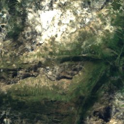
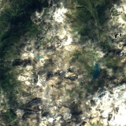
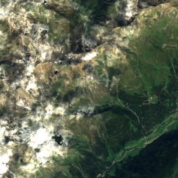
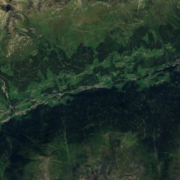
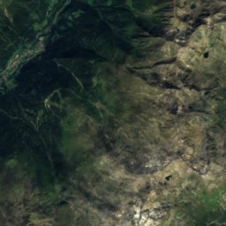
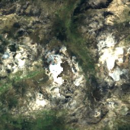
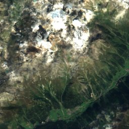
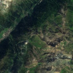
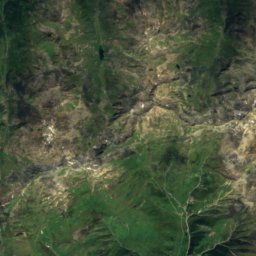
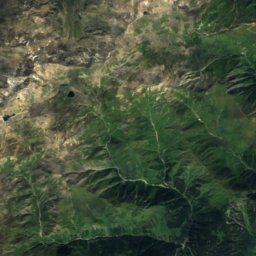
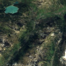
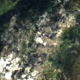
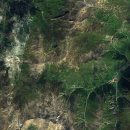
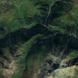
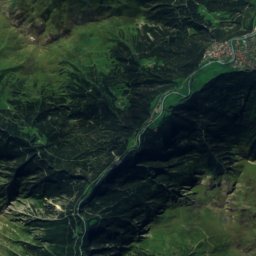
ดาวเทียม: Sentinel-2 cloudless 2016 โดย EOX IT Services GmbH · CC BY 4.0 · มีข้อมูล Copernicus Sentinel (2016) ที่ดัดแปลงแล้ว
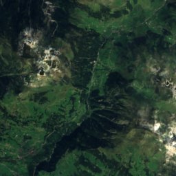
Ischgl-Samnaun
Samnaun
411 km · 48 ลิฟต์
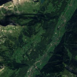
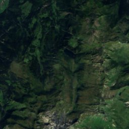
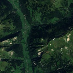
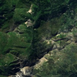
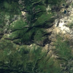
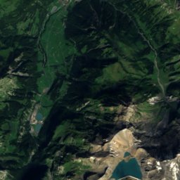
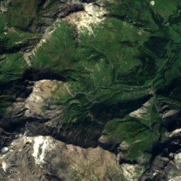
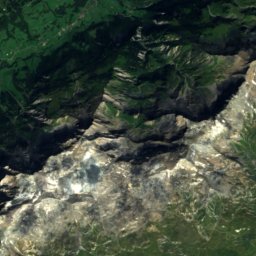
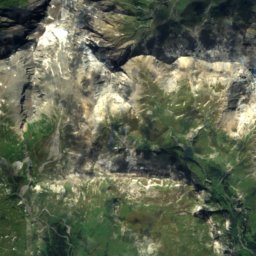
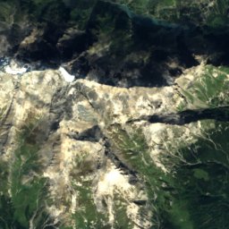
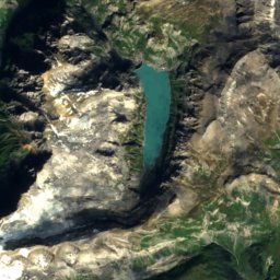
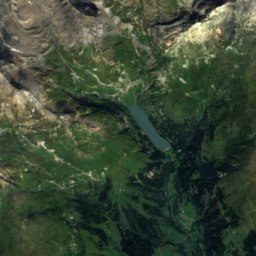
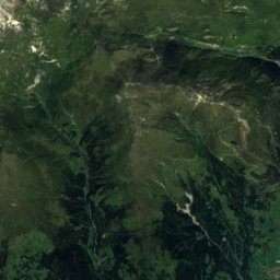
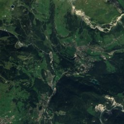
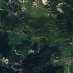
ดาวเทียม: Sentinel-2 cloudless 2016 โดย EOX IT Services GmbH · CC BY 4.0 · มีข้อมูล Copernicus Sentinel (2016) ที่ดัดแปลงแล้ว
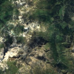
Laax
Flims
367 km · 38 ลิฟต์
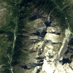
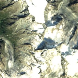
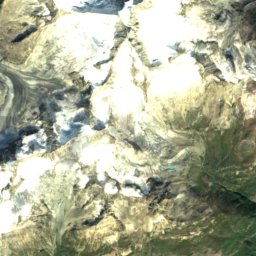
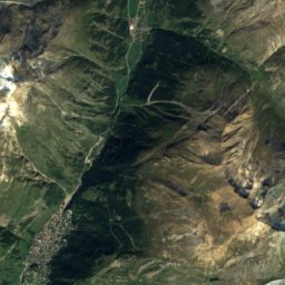
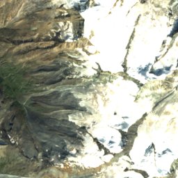
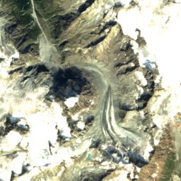
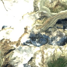
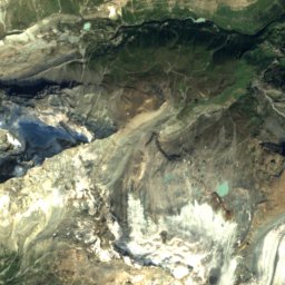
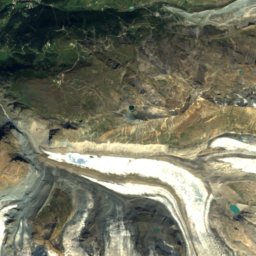
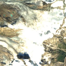
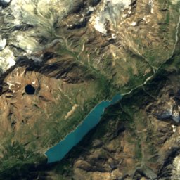
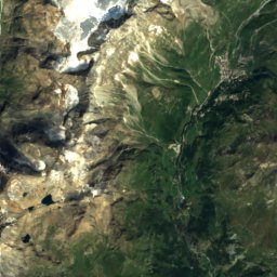
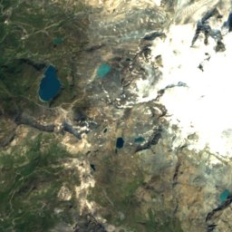
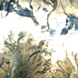
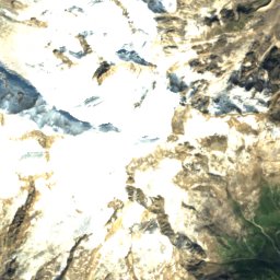
ดาวเทียม: Sentinel-2 cloudless 2016 โดย EOX IT Services GmbH · CC BY 4.0 · มีข้อมูล Copernicus Sentinel (2016) ที่ดัดแปลงแล้ว
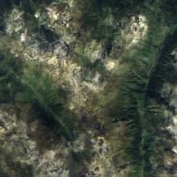
Zermatt - Breuil-Cervinia
แซร์มัท
330 km · 64 ลิฟต์
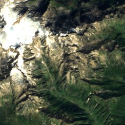
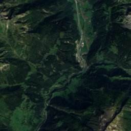
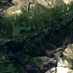
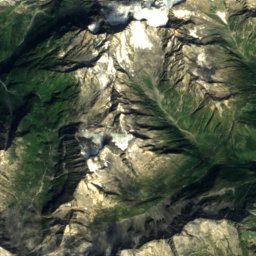
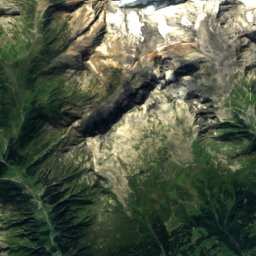
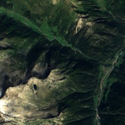
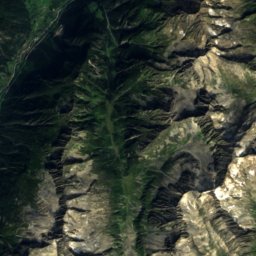
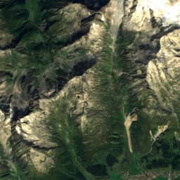
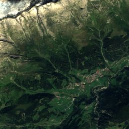
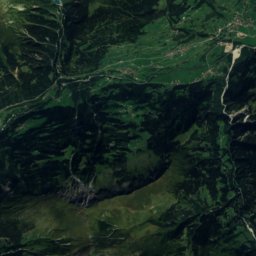
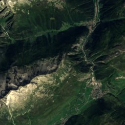
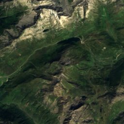
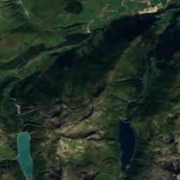
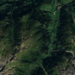
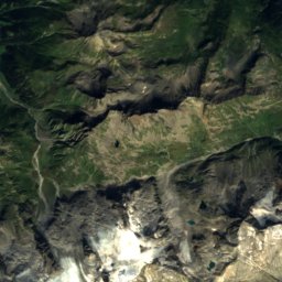
ดาวเทียม: Sentinel-2 cloudless 2016 โดย EOX IT Services GmbH · CC BY 4.0 · มีข้อมูล Copernicus Sentinel (2016) ที่ดัดแปลงแล้ว
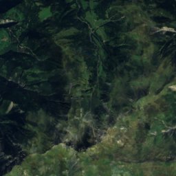
Andermatt+Disentis+Sedrun
Disentis
246 km · 41 ลิฟต์
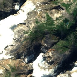
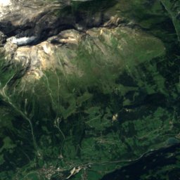
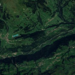
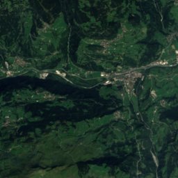
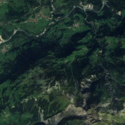
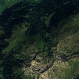
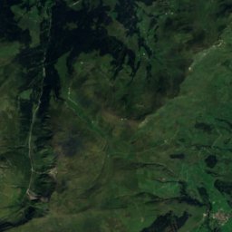
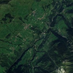
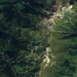
ดาวเทียม: Sentinel-2 cloudless 2016 โดย EOX IT Services GmbH · CC BY 4.0 · มีข้อมูล Copernicus Sentinel (2016) ที่ดัดแปลงแล้ว
Obersaxen-Mundaun
Vella
228 km · 19 ลิฟต์
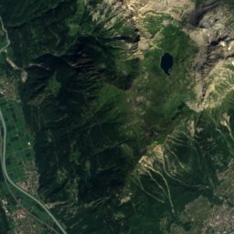
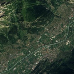
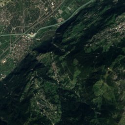
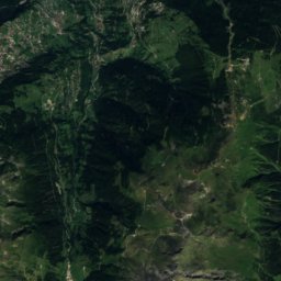
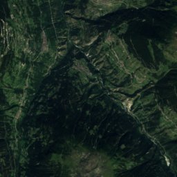
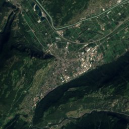
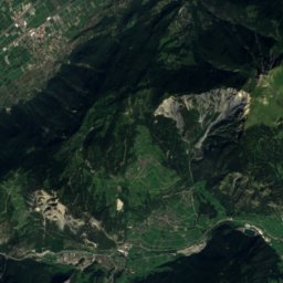
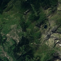
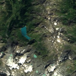
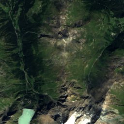
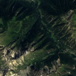
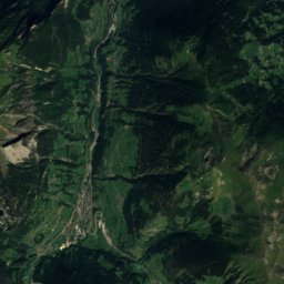
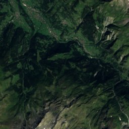
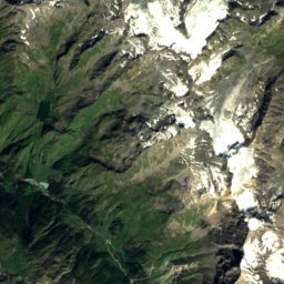
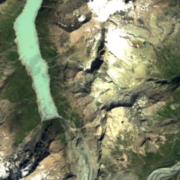
ดาวเทียม: Sentinel-2 cloudless 2016 โดย EOX IT Services GmbH · CC BY 4.0 · มีข้อมูล Copernicus Sentinel (2016) ที่ดัดแปลงแล้ว
4 Vallées – Verbier/La Tzoumaz/Nendaz/Veysonnaz/Thyon
แวร์บีเย
206 km · 80 ลิฟต์
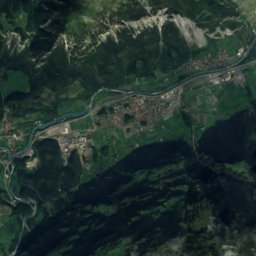
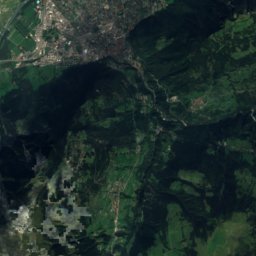
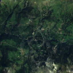
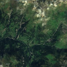
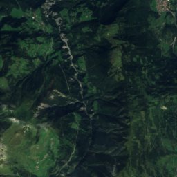
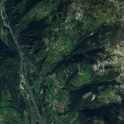
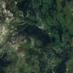
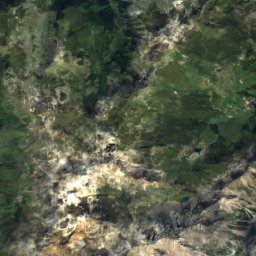
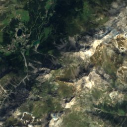
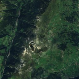
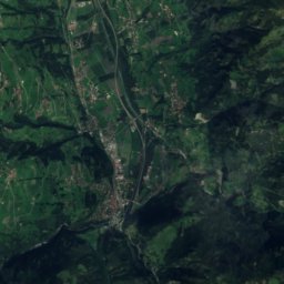
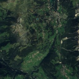
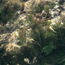
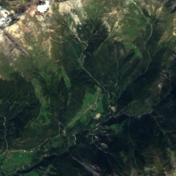
ดาวเทียม: Sentinel-2 cloudless 2016 โดย EOX IT Services GmbH · CC BY 4.0 · มีข้อมูล Copernicus Sentinel (2016) ที่ดัดแปลงแล้ว
Arosa Lenzerheide
Parpan
176 km · 49 ลิฟต์
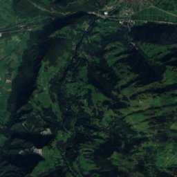
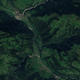
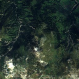
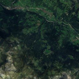
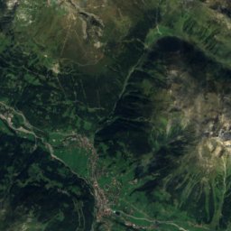
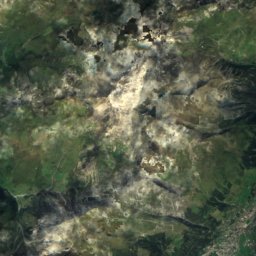
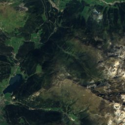
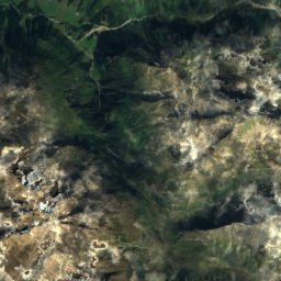
ดาวเทียม: Sentinel-2 cloudless 2016 โดย EOX IT Services GmbH · CC BY 4.0 · มีข้อมูล Copernicus Sentinel (2016) ที่ดัดแปลงแล้ว
Parsenn
Wolfgang
159 km · 21 ลิฟต์
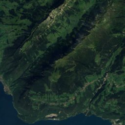
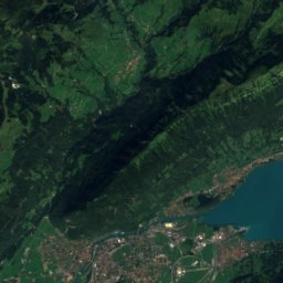
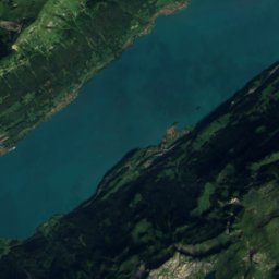
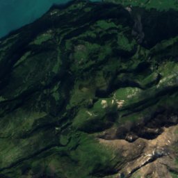
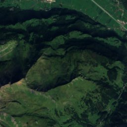
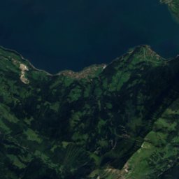
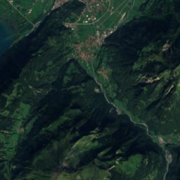
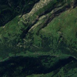
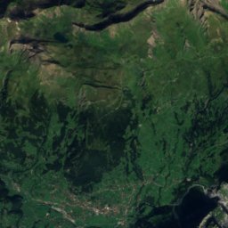
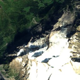
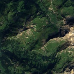
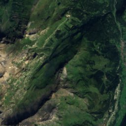
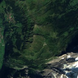
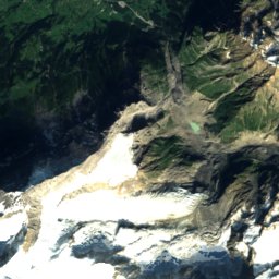
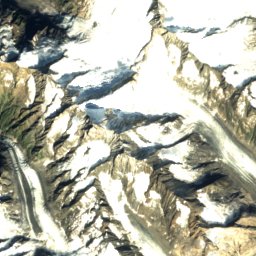
ดาวเทียม: Sentinel-2 cloudless 2016 โดย EOX IT Services GmbH · CC BY 4.0 · มีข้อมูล Copernicus Sentinel (2016) ที่ดัดแปลงแล้ว
Grindelwald - Wengen
เว็งเงิน
159 km · 25 ลิฟต์
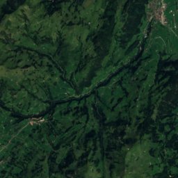
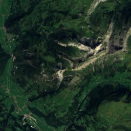
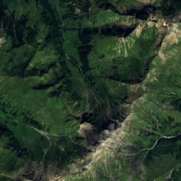
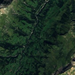
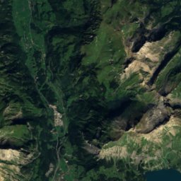
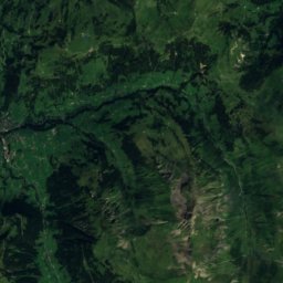
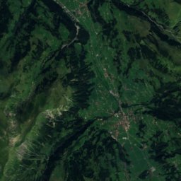
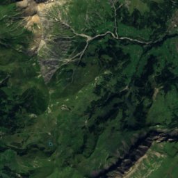
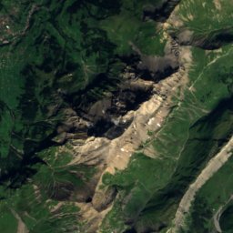
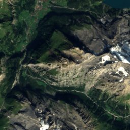
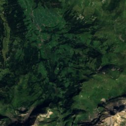
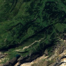
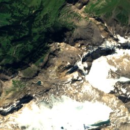
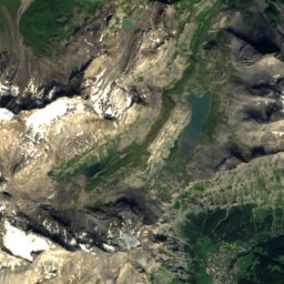
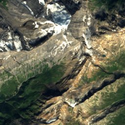
ดาวเทียม: Sentinel-2 cloudless 2016 โดย EOX IT Services GmbH · CC BY 4.0 · มีข้อมูล Copernicus Sentinel (2016) ที่ดัดแปลงแล้ว
Adelboden - Lenk
อาเดลโบเดิน
155 km · 19 ลิฟต์
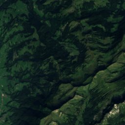
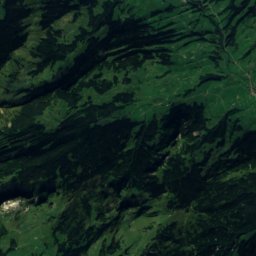
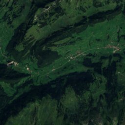
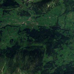
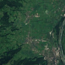
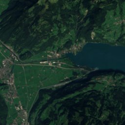
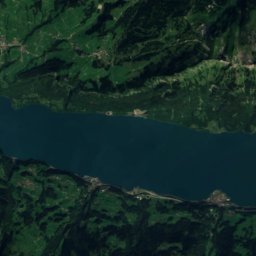
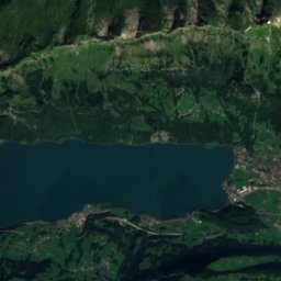
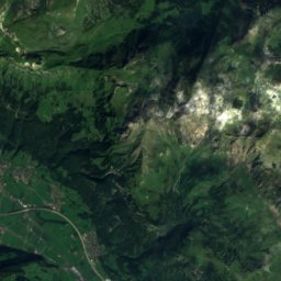
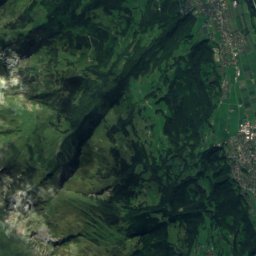
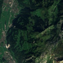
ดาวเทียม: Sentinel-2 cloudless 2016 โดย EOX IT Services GmbH · CC BY 4.0 · มีข้อมูล Copernicus Sentinel (2016) ที่ดัดแปลงแล้ว
Flumserberg
Quarten
128 km · 22 ลิฟต์
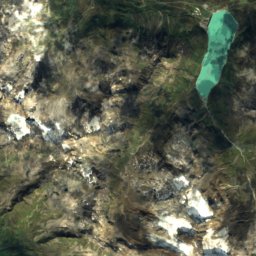
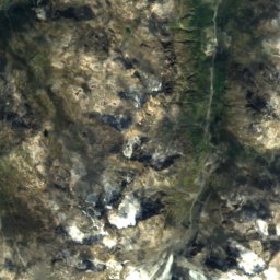
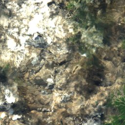
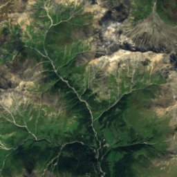
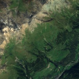
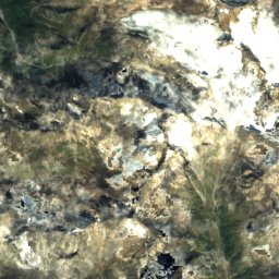
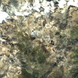
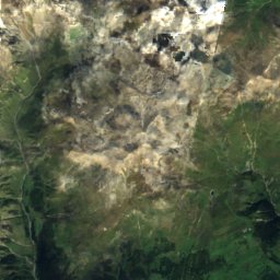
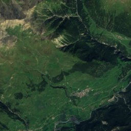
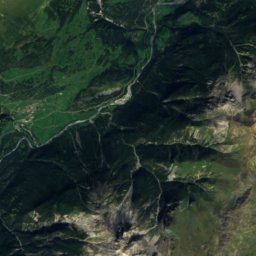
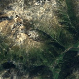
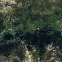
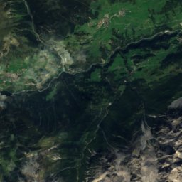
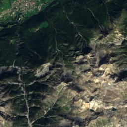
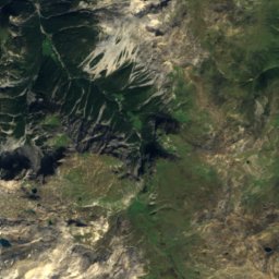
ดาวเทียม: Sentinel-2 cloudless 2016 โดย EOX IT Services GmbH · CC BY 4.0 · มีข้อมูล Copernicus Sentinel (2016) ที่ดัดแปลงแล้ว
Scuol Motta Naluns
Ftan
114 km · 14 ลิฟต์
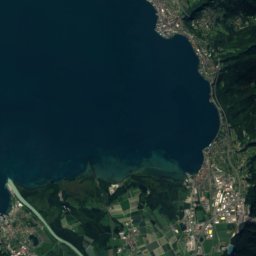
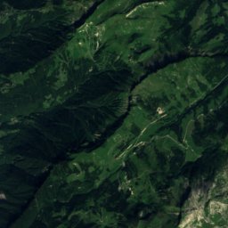
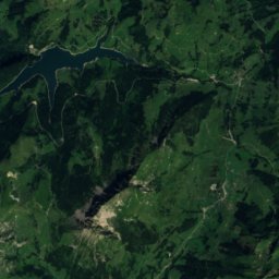
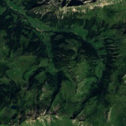
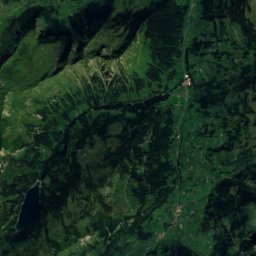
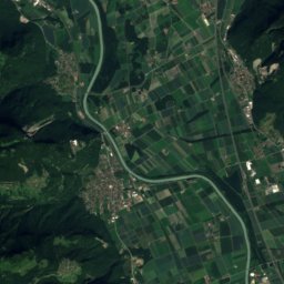
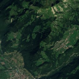
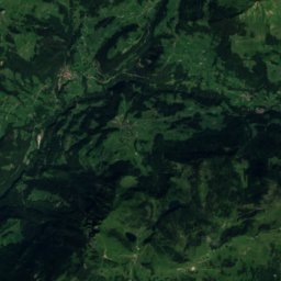
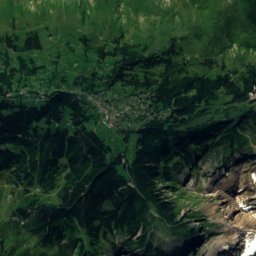
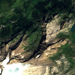
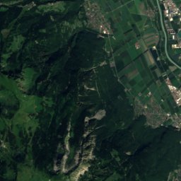
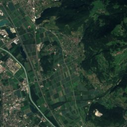
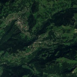
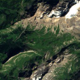
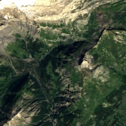
ดาวเทียม: Sentinel-2 cloudless 2016 โดย EOX IT Services GmbH · CC BY 4.0 · มีข้อมูล Copernicus Sentinel (2016) ที่ดัดแปลงแล้ว
Villars/Gryon/Les Diablerets
Les Diablerets
113 km · 31 ลิฟต์
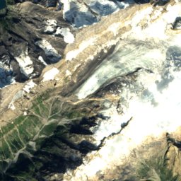
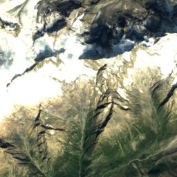
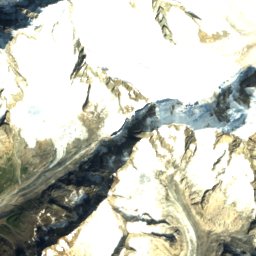
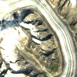
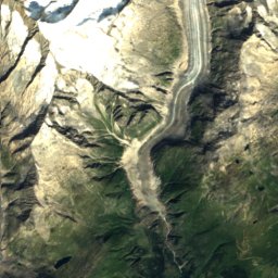
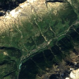
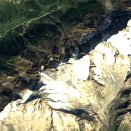
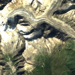
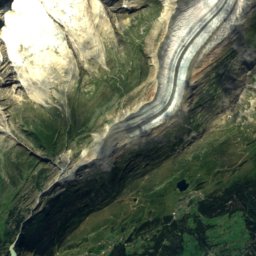
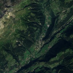
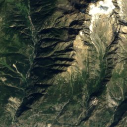
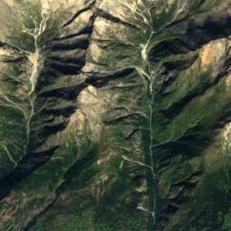
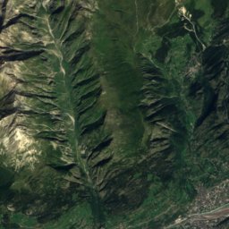
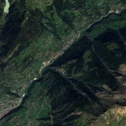
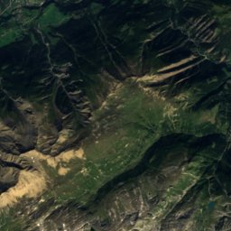
ดาวเทียม: Sentinel-2 cloudless 2016 โดย EOX IT Services GmbH · CC BY 4.0 · มีข้อมูล Copernicus Sentinel (2016) ที่ดัดแปลงแล้ว
Blatten Belalp
Belalp
112 km · 12 ลิฟต์
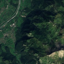
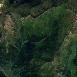
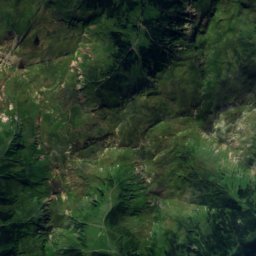
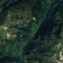
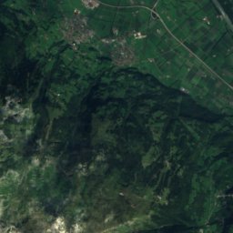
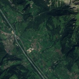
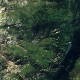
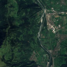
ดาวเทียม: Sentinel-2 cloudless 2016 โดย EOX IT Services GmbH · CC BY 4.0 · มีข้อมูล Copernicus Sentinel (2016) ที่ดัดแปลงแล้ว
Pizol Bad Ragaz
Mels
99 km · 13 ลิฟต์
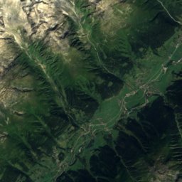
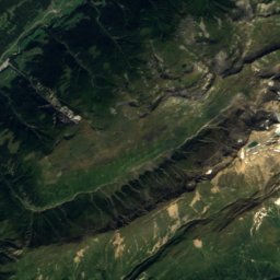
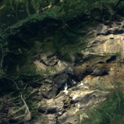
ดาวเทียม: Sentinel-2 cloudless 2016 โดย EOX IT Services GmbH · CC BY 4.0 · มีข้อมูล Copernicus Sentinel (2016) ที่ดัดแปลงแล้ว
Aletsch Arena
Bettmeralp
98 km · 34 ลิฟต์
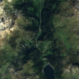
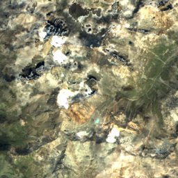
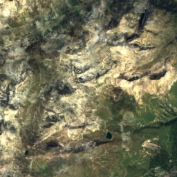
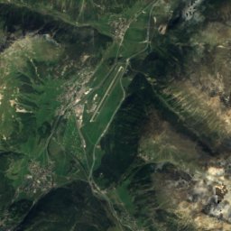
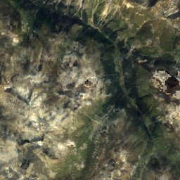
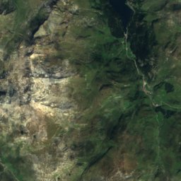
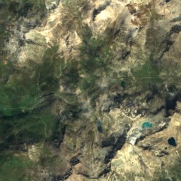
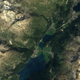
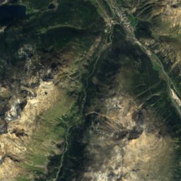
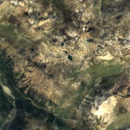
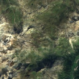
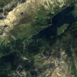
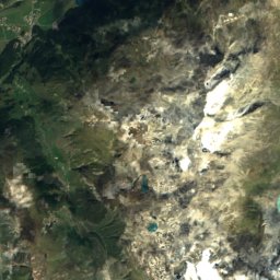
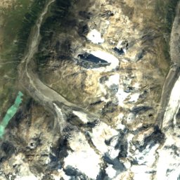
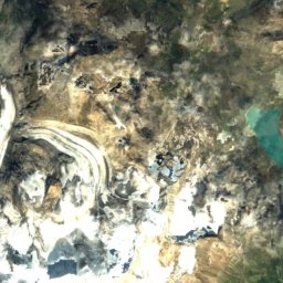
ดาวเทียม: Sentinel-2 cloudless 2016 โดย EOX IT Services GmbH · CC BY 4.0 · มีข้อมูล Copernicus Sentinel (2016) ที่ดัดแปลงแล้ว
Corvatsch-Furtschellas
Surlej
98 km · 15 ลิฟต์
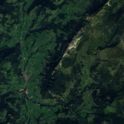
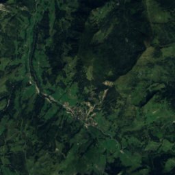
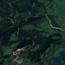
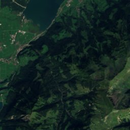
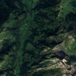
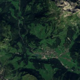
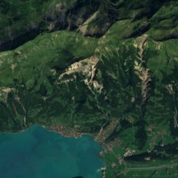
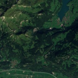
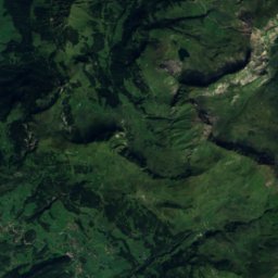
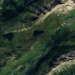
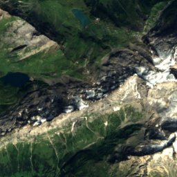
ดาวเทียม: Sentinel-2 cloudless 2016 โดย EOX IT Services GmbH · CC BY 4.0 · มีข้อมูล Copernicus Sentinel (2016) ที่ดัดแปลงแล้ว
Melchsee-Frutt
Gadmen
87 km · 14 ลิฟต์
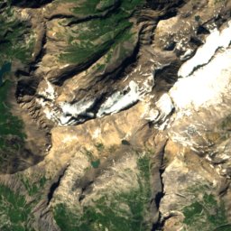
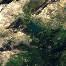
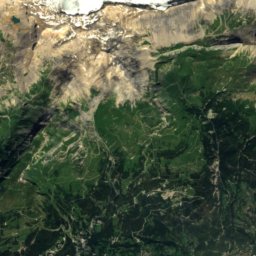
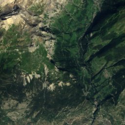
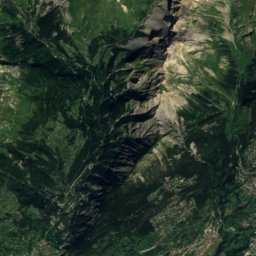
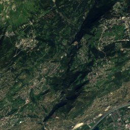
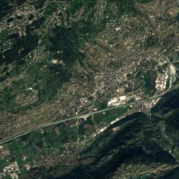
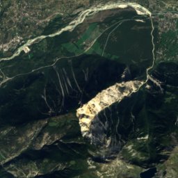
ดาวเทียม: Sentinel-2 cloudless 2016 โดย EOX IT Services GmbH · CC BY 4.0 · มีข้อมูล Copernicus Sentinel (2016) ที่ดัดแปลงแล้ว
Crans-Montana
Montana
76 km · 23 ลิฟต์
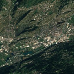
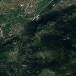
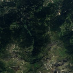
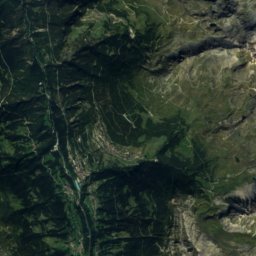
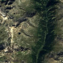
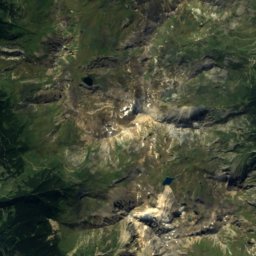
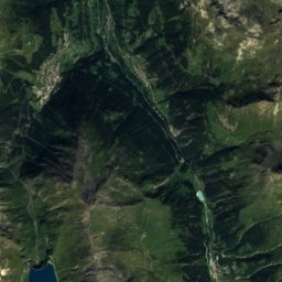
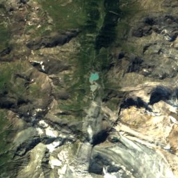
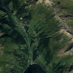
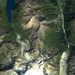
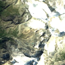
ดาวเทียม: Sentinel-2 cloudless 2016 โดย EOX IT Services GmbH · CC BY 4.0 · มีข้อมูล Copernicus Sentinel (2016) ที่ดัดแปลงแล้ว
Zinal / Grimentz
Ayer
70 km · 22 ลิฟต์
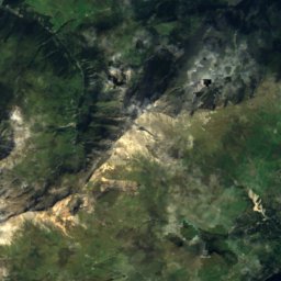
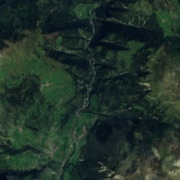
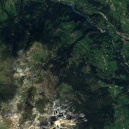
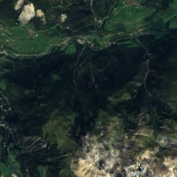
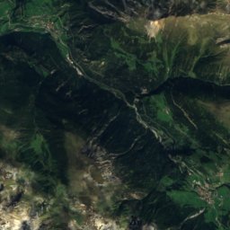
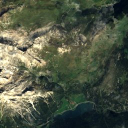
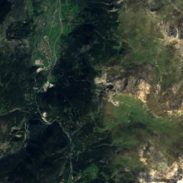
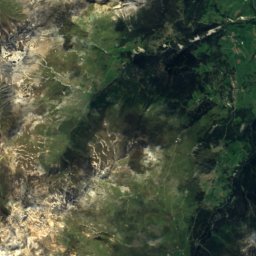
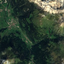
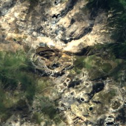
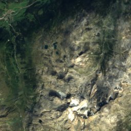
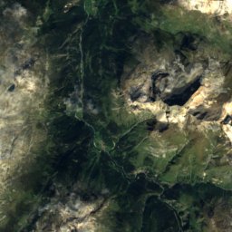
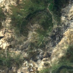
ดาวเทียม: Sentinel-2 cloudless 2016 โดย EOX IT Services GmbH · CC BY 4.0 · มีข้อมูล Copernicus Sentinel (2016) ที่ดัดแปลงแล้ว
Savognin
Mulegns
67 km · 12 ลิฟต์
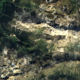
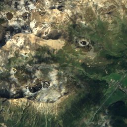
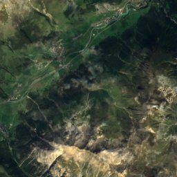
ดาวเทียม: Sentinel-2 cloudless 2016 โดย EOX IT Services GmbH · CC BY 4.0 · มีข้อมูล Copernicus Sentinel (2016) ที่ดัดแปลงแล้ว
Corviglia
ซังคท์โมริทซ์
66 km · 25 ลิฟต์
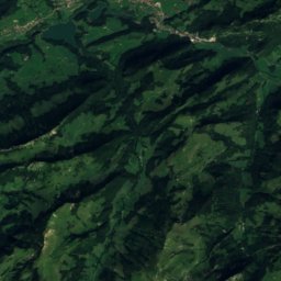
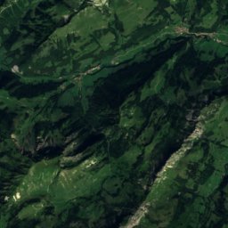
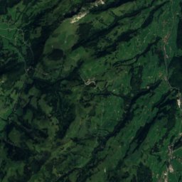
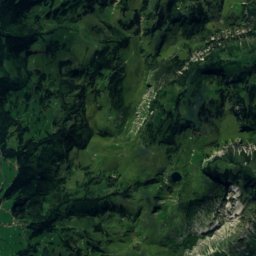
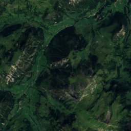
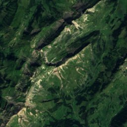
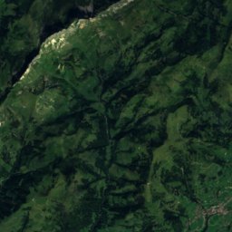
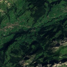
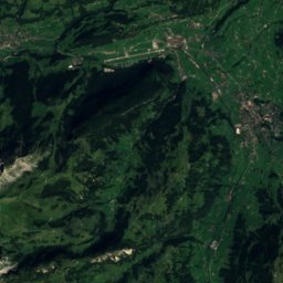
ดาวเทียม: Sentinel-2 cloudless 2016 โดย EOX IT Services GmbH · CC BY 4.0 · มีข้อมูล Copernicus Sentinel (2016) ที่ดัดแปลงแล้ว
Schönried - Saanenmöser - Zweisimmen - St. Stephan
St. Stephan
63 km · 17 ลิฟต์
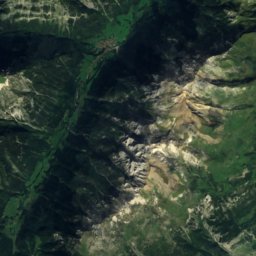
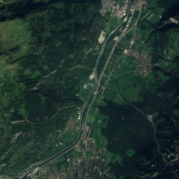
ดาวเทียม: Sentinel-2 cloudless 2016 โดย EOX IT Services GmbH · CC BY 4.0 · มีข้อมูล Copernicus Sentinel (2016) ที่ดัดแปลงแล้ว
Tschiertschen
Praden
63 km · 5 ลิฟต์
ลานสกีทั้งหมด 279 แห่ง A–Z
- 4 Vallées – Verbier/La Tzoumaz/Nendaz/Veysonnaz/Thyon
- Adelboden - Lenk
- Adelboden - TschentenAlp
- Aela (Maloja)
- Aeschiallmend
- Airolo - Pesciüm
- Aletsch Arena
- Alpe di Neggia
- Alvaneu
- Amden
- Andermatt+Disentis+Sedrun
- Anzère
- Arolla
- Arosa Lenzerheide
- Arvenbüel
- Atzmännig
- Avers
- Axalp ob Brienz
- Bannalp
- Beatenberg-Niederhorn-Hohwald
- Bedea-Novaggio
- Bellwald
- Bergün - Filisur / Darlux
- Biel-Kinzig
- Bischofsberg
- Bivio
- Blatten Belalp
- Bosco Gurin – Grossalp
- Bourg-Saint-Pierre
- Braunwald
- Brigels Waltensburg Andiast
- Brot-Dessus
- Brülisau Leugangen
- Brunni-Haggenegg
- Brunni-Holzegg-Rotenflue
- Brüsti – Attinghausen
- Bumbach - Schangnau
- Bündalift – Davos
- Campo Blenio - Ghirone
- Carì
- Casaccia
- Chalet a Gobet
- Champex-Lac
- Charmey
- Chäserrugg-Alt St. Johann
- Château-d'Oex
- Chuderhüsi
- Chur - Brambrüesch
- Cioss Prato
- Confin / San Bernardino
- Corvatsch-Furtschellas
- Corviglia
- Crans-Montana
- Crêt-du-Puy
- Dallenwil - Wirzweli
- Degersheim
- Dent de Vaulion – Le Morez
- Diavolezza-Lagalb
- Dôle-Tuffes
- Dreieck – Glarus
- Ebenalp-Horn
- Eggberge
- Eggiwil
- Eigenthal
- Eischoll
- Elm
- Elsigen-Metsch
- Engelberg-Brunni
- Engelberg - Großtitlis Ski Schanze
- Engelberg-Titlis
- Engstligenalp
- Eriz
- Evolène
- Faltschen
- Feldis
- Fideriser Heuberge
- First – Grindelwald
- Flensa-Seewis
- Flumserberg
- Friherrenberg
- Froideville
- Gantrisch Gurnigel
- Gargellen
- Gfellen-Finsterwald
- Gitschenen – Isenthal
- Glacier 3000
- Gluringen
- Gonten
- Grächen
- Grandval
- Grenchenberg
- Grimmialp
- Grindelwald - Wengen
- Grub-Kaien
- Grüsch Danusa
- Gstaad - Saanen - Rougemont
- Habkern
- Hapfere - Plaffeien
- Heiligkreuz - First
- Heimenschwand
- Heiti – Gsteig b. Gstaad
- Hemberg
- Hergiswil
- Hergiswil - Langmattli
- Hochwang – Goldgruben
- Hoch-Ybrig
- Hohe Winde – Beinwil
- Hohwald
- Homberg
- Hubelweid
- Ibergeregg-Handgruobi
- Ischgl-Samnaun
- Jakobshorn
- Jaun
- Jaunpass
- Jeizinen
- Jungfraujoch Snow Fun Park
- Junker - St. Antönien
- Kandersteg
- Kerenzerberg
- Kiental
- Kinderskiparadies La Nars
- Klewenalp - Stockhütte
- Laax
- l'Abbaye
- La Berra
- La Chia
- La Corbatière
- La Forclaz
- La Forclaz VD
- La Fouly
- La Golatte
- La Martinaux
- Langenbruck
- Langis - Glaubenberg
- Languard
- La Robella
- La Trélasse
- Lauchernalp
- Lauenen
- Le Brassus
- Le Moléson
- Lenk - Wallegg
- Lenz
- Les Breuleux
- Les Bugnenets-Savagnières
- Les Genevez
- Les Giettes
- Les Gollières
- Les Marecottes
- Les Mosses
- Les Paccots
- Les Pléiades
- Les Prés-d'Orvin
- Les Prévondes
- Les Rousses
- Leukerbad (Torrent)
- Leysin
- Linden
- L'Orient
- Lourtier
- Madrisa
- Malleray - Les Orvalles
- Marbach - Marbachegg
- Mayens de Conthey
- Meiringen-Hasliberg
- Melchsee-Frutt
- Minschuns
- Mogno
- Mont-Gibloux
- Moosalpregion
- Mörlialp
- Münster-Geschinen
- Mürren/Schilthorn
- Müsella – La Punt
- Nara – Leontica
- Nax
- Nollen – Unterägeri
- Oberegg-St. Anton
- Obermutten
- Obersaxen-Mundaun
- Ottenleue
- Ovronnaz
- Pany
- Parsenn
- Pian Cales / San Bernardino
- Pischa
- Pizol Bad Ragaz
- Prato Leventina
- Raten
- Rathvel
- Ratzi – Spiringen
- Realp
- Rellerli – Schönried
- Rigi-Scheidegg/Burggeist
- Rigi-Seebodenalp
- Rinerhorn
- Rochers de Naye
- Röhrenmoos
- Rossberg - Oberwil
- Rosswald
- Rothenthurm
- Rothwald/Wasenalp
- Röti
- Runal Péra Trun
- Rüschegg
- Saas-Almagell
- Saas-Balen
- Saas Fee
- Saas-Grund
- Saint-Cergue
- Sainte-Croix / Les Rasses
- Saint-George
- Saint Luc - Chandolin
- Sarn-Heinzenberg
- Sattelegg
- Sattel-Hochstuckli
- Savognin
- Schafmatt
- Schatzalp/Strela (Davos Klosters)
- Schilt
- Schönried - Saanenmöser - Zweisimmen - St. Stephan
- Schratten Flühli
- Schüpfheim
- Schwanden – Sigriswil – Justistal
- Schwarzsee
- Schwellbrunn
- Schwengimatt
- Scuol Motta Naluns
- Selital
- Site du Meix Musy
- Skiarena Loh Hätzingen
- Skifahren Rigi Staffel
- Skilift Bäretswil
- Skilift Bennau
- Skilift Bildhaus
- Skilifte Ibergeregg
- Skilift Fischenthal
- Skilift Ghöch
- Skilift Gurnigel-Bad
- Skilift Malbun
- Skilift Mastrils
- Skilift Mugi
- Skilift Oberholz-Farner
- Skilift Oberiberg
- Skilift Rigi-Kaltbad Gratalp
- Skilift Schnabelsberg
- Skilift Steg
- Skilift Tristeli St. Margrethenberg
- Sollegg
- Sommartel / Le Locle
- Sörenberg
- Splügen
- Springenboden
- Staldenried - Gspon
- St. Moritz – Zuoz
- Stoos
- Tanzboden
- Tarasp
- Tenna
- Tramelan
- Tschappina
- Tschiertschen
- Unterbäch – Brandalp
- Urnäsch Osteregg
- Vals 3000
- Vercorin
- Vichères-Bavon
- Villars/Gryon/Les Diablerets
- Visperterminen
- Wägital
- Wasen i.E.
- Wildhaus
- Wilern
- Wiriehorn
- Wispile – Gstaad
- Wolzenalp
- Zermatt - Breuil-Cervinia
- Zinal / Grimentz