สกี
ลานสกีในออสเตรีย
ในออสเตรียมีลานสกี 205 แห่ง แห่งที่ใหญ่ที่สุดมีเส้นทางสกี 811 km แต่ละแห่งมีหน้าของตัวเองพร้อมเส้นทางตามระดับความยาก ลิฟต์ และฤดูหิมะบนยอดเขาที่ใกล้ที่สุด
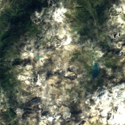
ดาวเทียม: Sentinel-2 cloudless 2016 โดย EOX IT Services GmbH · CC BY 4.0 · มีข้อมูล Copernicus Sentinel (2016) ที่ดัดแปลงแล้ว
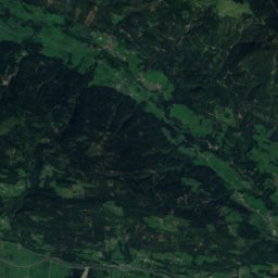
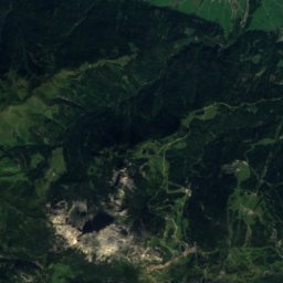
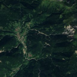
Ski amadé
Ramsau am Dachstein
811 km · 249 ลิฟต์
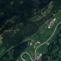
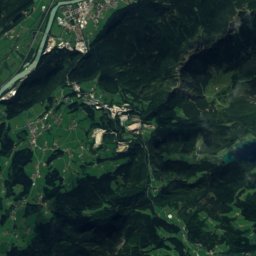
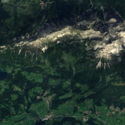
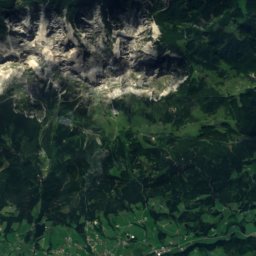
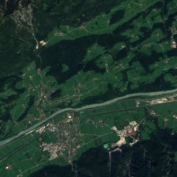
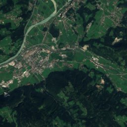
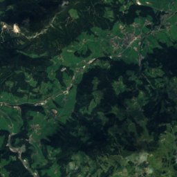
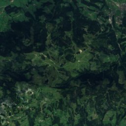
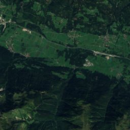
ดาวเทียม: Sentinel-2 cloudless 2016 โดย EOX IT Services GmbH · CC BY 4.0 · มีข้อมูล Copernicus Sentinel (2016) ที่ดัดแปลงแล้ว
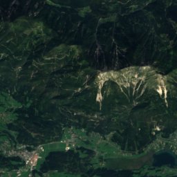
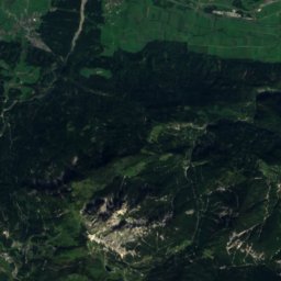
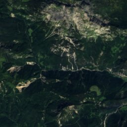
SkiWelt Wilder Kaiser Brixental
Brixen im Thale
447 km · 80 ลิฟต์
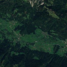
ดาวเทียม: Sentinel-2 cloudless 2016 โดย EOX IT Services GmbH · CC BY 4.0 · มีข้อมูล Copernicus Sentinel (2016) ที่ดัดแปลงแล้ว
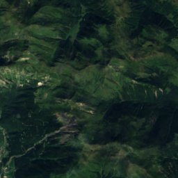
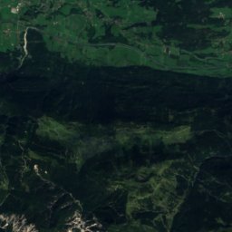
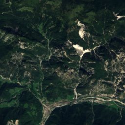
KitzSki
Jochberg
403 km · 63 ลิฟต์
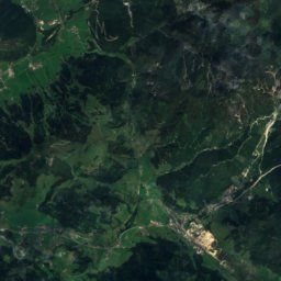
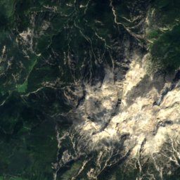
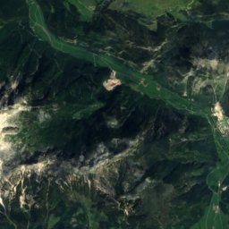
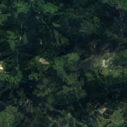
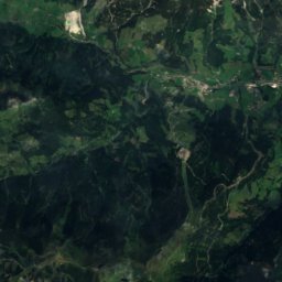
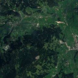
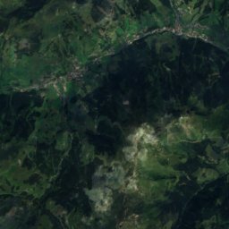
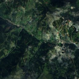
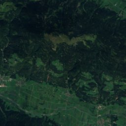
ดาวเทียม: Sentinel-2 cloudless 2016 โดย EOX IT Services GmbH · CC BY 4.0 · มีข้อมูล Copernicus Sentinel (2016) ที่ดัดแปลงแล้ว
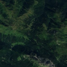
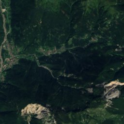
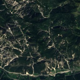
Skicircus Saalbach-Hinterglemm Leogang Fieberbrunn
Saalbach-Hinterglemm
400 km · 83 ลิฟต์
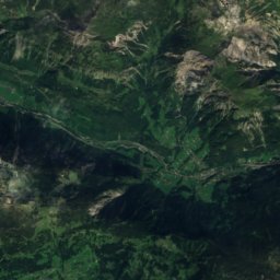
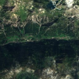
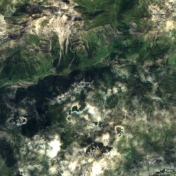
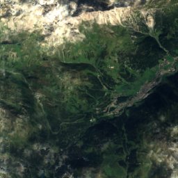
ดาวเทียม: Sentinel-2 cloudless 2016 โดย EOX IT Services GmbH · CC BY 4.0 · มีข้อมูล Copernicus Sentinel (2016) ที่ดัดแปลงแล้ว
Ski Arlberg
Zürs
361 km · 93 ลิฟต์
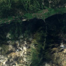
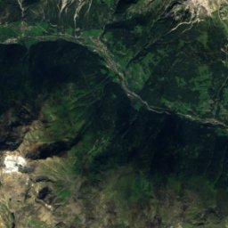
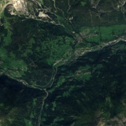
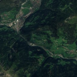
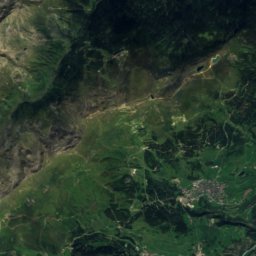
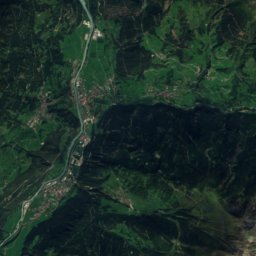
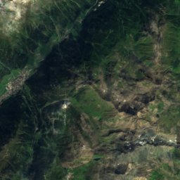
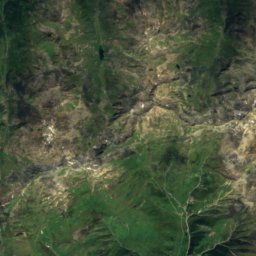
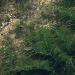
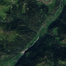
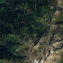
ดาวเทียม: Sentinel-2 cloudless 2016 โดย EOX IT Services GmbH · CC BY 4.0 · มีข้อมูล Copernicus Sentinel (2016) ที่ดัดแปลงแล้ว
Serfaus-Fiss-Ladis
Serfaus
347 km · 50 ลิฟต์
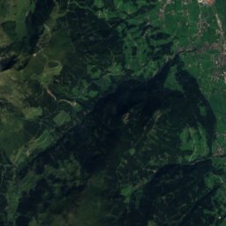
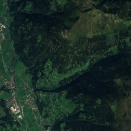
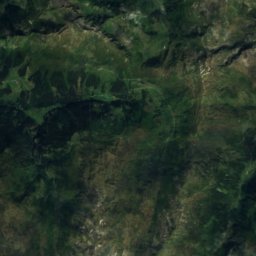
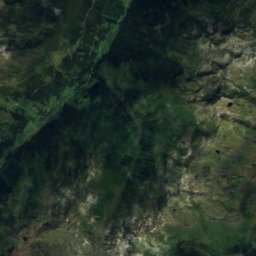
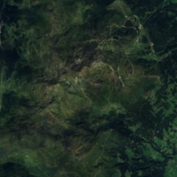
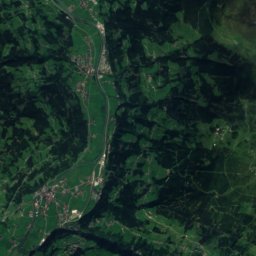
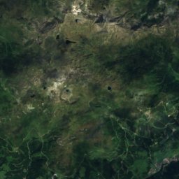
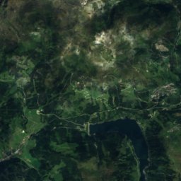
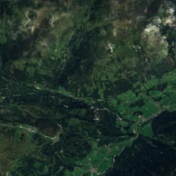
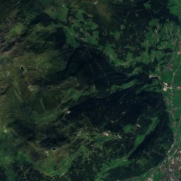
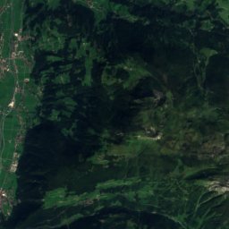
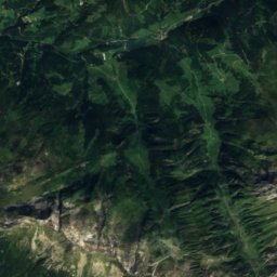
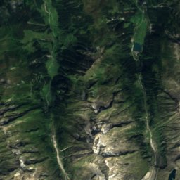
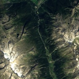
ดาวเทียม: Sentinel-2 cloudless 2016 โดย EOX IT Services GmbH · CC BY 4.0 · มีข้อมูล Copernicus Sentinel (2016) ที่ดัดแปลงแล้ว
Zillertal Arena
Gerlos
246 km · 55 ลิฟต์
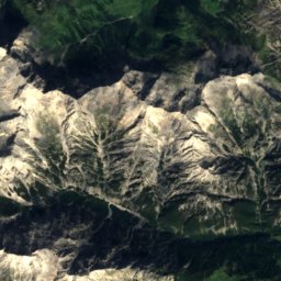
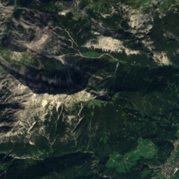
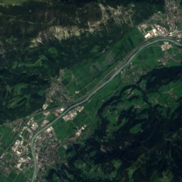
ดาวเทียม: Sentinel-2 cloudless 2016 โดย EOX IT Services GmbH · CC BY 4.0 · มีข้อมูล Copernicus Sentinel (2016) ที่ดัดแปลงแล้ว
Hochfügen - Zillertal
Zellberg
213 km · 35 ลิฟต์
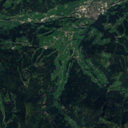
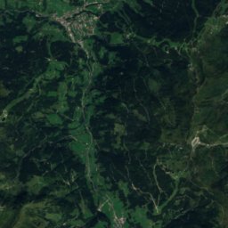
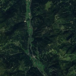
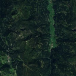
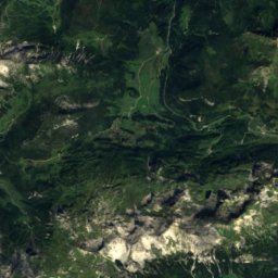
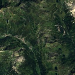
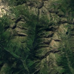
ดาวเทียม: Sentinel-2 cloudless 2016 โดย EOX IT Services GmbH · CC BY 4.0 · มีข้อมูล Copernicus Sentinel (2016) ที่ดัดแปลงแล้ว
Obertauern
Obertauern
196 km · 28 ลิฟต์
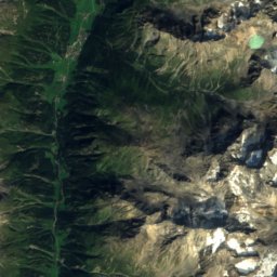
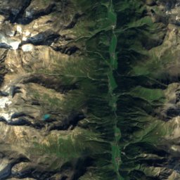
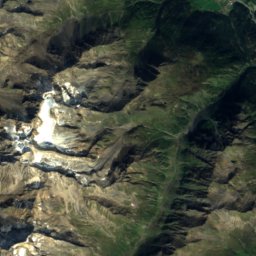
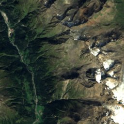
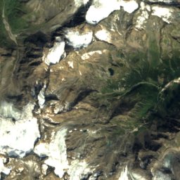
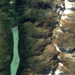
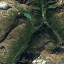
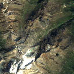
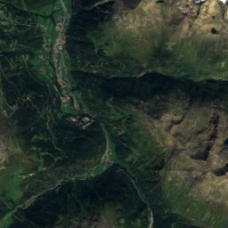
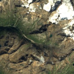
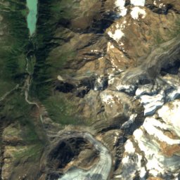
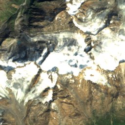
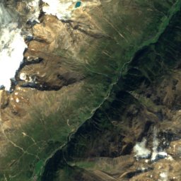
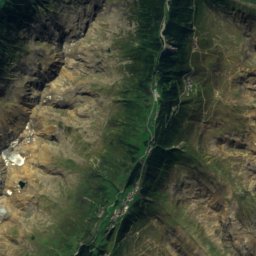
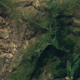
ดาวเทียม: Sentinel-2 cloudless 2016 โดย EOX IT Services GmbH · CC BY 4.0 · มีข้อมูล Copernicus Sentinel (2016) ที่ดัดแปลงแล้ว
Sölden
Sölden
177 km · 37 ลิฟต์
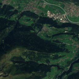
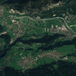
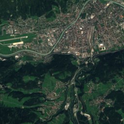
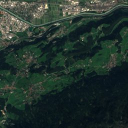
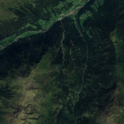
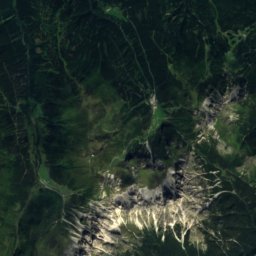
ดาวเทียม: Sentinel-2 cloudless 2016 โดย EOX IT Services GmbH · CC BY 4.0 · มีข้อมูล Copernicus Sentinel (2016) ที่ดัดแปลงแล้ว
Stubai
Mieders
156 km · 46 ลิฟต์
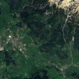
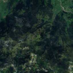
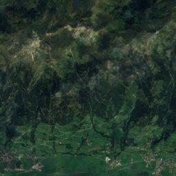
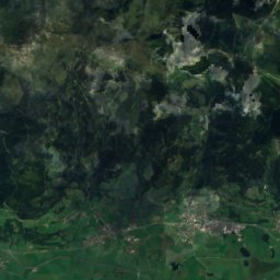
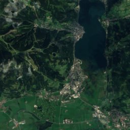
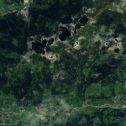
ดาวเทียม: Sentinel-2 cloudless 2016 โดย EOX IT Services GmbH · CC BY 4.0 · มีข้อมูล Copernicus Sentinel (2016) ที่ดัดแปลงแล้ว
Schmittenhöhe Zell am See
เซ็ลอัมเซ
152 km · 27 ลิฟต์
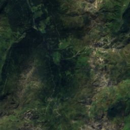
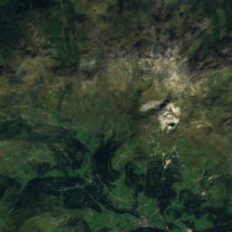
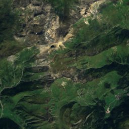
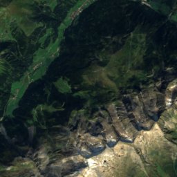
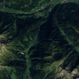
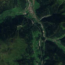
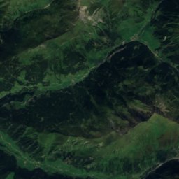
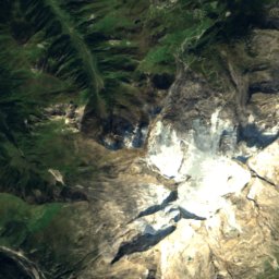
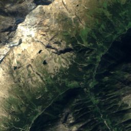
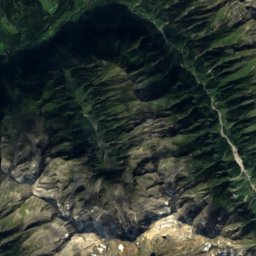
ดาวเทียม: Sentinel-2 cloudless 2016 โดย EOX IT Services GmbH · CC BY 4.0 · มีข้อมูล Copernicus Sentinel (2016) ที่ดัดแปลงแล้ว
Hintertuxer Gletscher
Schmirn
139 km · 22 ลิฟต์
ดาวเทียม: Sentinel-2 cloudless 2016 โดย EOX IT Services GmbH · CC BY 4.0 · มีข้อมูล Copernicus Sentinel (2016) ที่ดัดแปลงแล้ว
Wildkogel
Bramberg am Wildkogel
137 km · 18 ลิฟต์
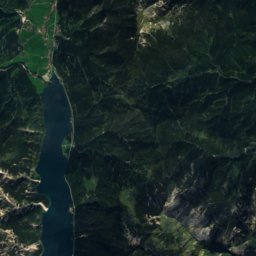
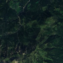
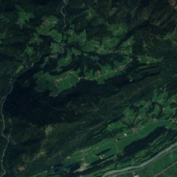
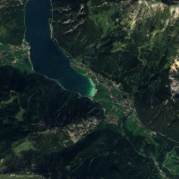
ดาวเทียม: Sentinel-2 cloudless 2016 โดย EOX IT Services GmbH · CC BY 4.0 · มีข้อมูล Copernicus Sentinel (2016) ที่ดัดแปลงแล้ว
Ski Juwel Alpbachtal Wildschönau
Alpbach
135 km · 21 ลิฟต์
ดาวเทียม: Sentinel-2 cloudless 2016 โดย EOX IT Services GmbH · CC BY 4.0 · มีข้อมูล Copernicus Sentinel (2016) ที่ดัดแปลงแล้ว
Mayrhofen Hippach
Tux
133 km · 54 ลิฟต์
ดาวเทียม: Sentinel-2 cloudless 2016 โดย EOX IT Services GmbH · CC BY 4.0 · มีข้อมูล Copernicus Sentinel (2016) ที่ดัดแปลงแล้ว
Silvretta Montafon
Sankt Gallenkirch
121 km · 37 ลิฟต์
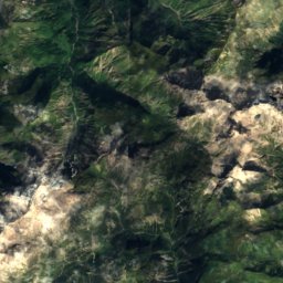
ดาวเทียม: Sentinel-2 cloudless 2016 โดย EOX IT Services GmbH · CC BY 4.0 · มีข้อมูล Copernicus Sentinel (2016) ที่ดัดแปลงแล้ว
Kleinwalsertal-Oberstdorf
Riezlern
108 km · 52 ลิฟต์
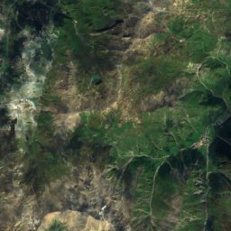
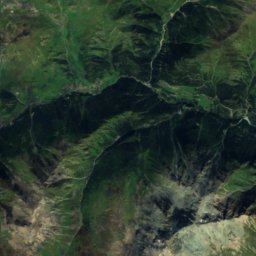
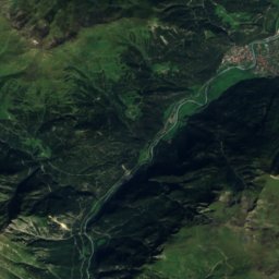
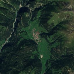
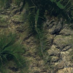
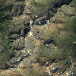
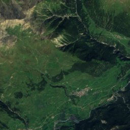
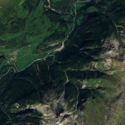
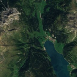
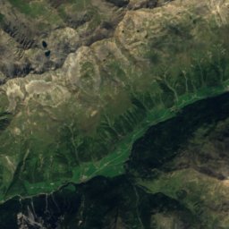
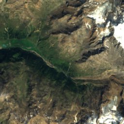
ดาวเทียม: Sentinel-2 cloudless 2016 โดย EOX IT Services GmbH · CC BY 4.0 · มีข้อมูล Copernicus Sentinel (2016) ที่ดัดแปลงแล้ว
Nauders am Reschenpass
Nauders
98 km · 21 ลิฟต์
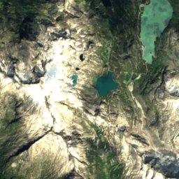
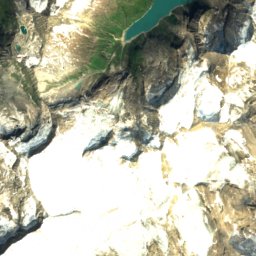
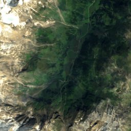
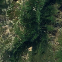
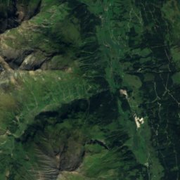
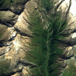
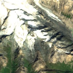
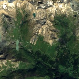
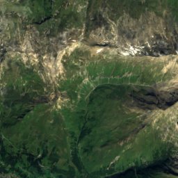
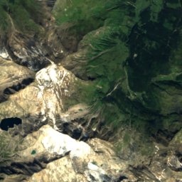
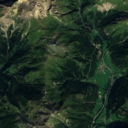
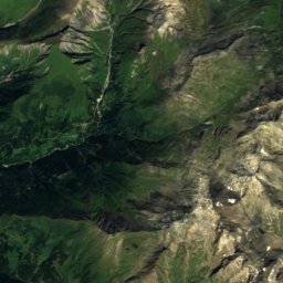
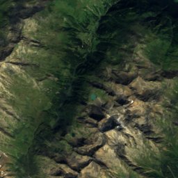
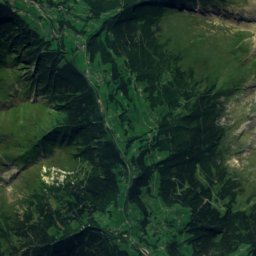
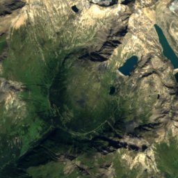
ดาวเทียม: Sentinel-2 cloudless 2016 โดย EOX IT Services GmbH · CC BY 4.0 · มีข้อมูล Copernicus Sentinel (2016) ที่ดัดแปลงแล้ว
Großglockner Heiligenblut
Heiligenblut
84 km · 13 ลิฟต์
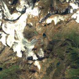
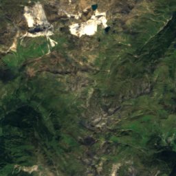
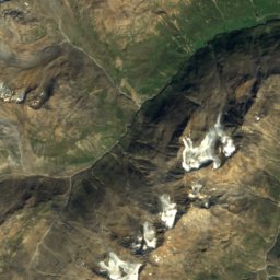
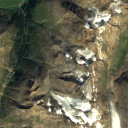
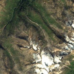
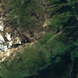
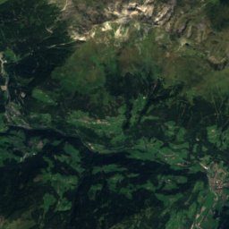
ดาวเทียม: Sentinel-2 cloudless 2016 โดย EOX IT Services GmbH · CC BY 4.0 · มีข้อมูล Copernicus Sentinel (2016) ที่ดัดแปลงแล้ว
Obergurgl-Hochgurgl
Obergurgl
73 km · 24 ลิฟต์
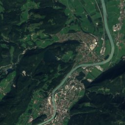
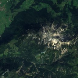
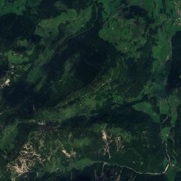
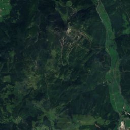
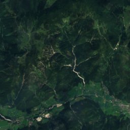
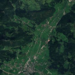
ดาวเทียม: Sentinel-2 cloudless 2016 โดย EOX IT Services GmbH · CC BY 4.0 · มีข้อมูล Copernicus Sentinel (2016) ที่ดัดแปลงแล้ว
St. Johann in Tirol
Oberndorf in Tirol
72 km · 13 ลิฟต์
ลานสกีทั้งหมด 205 แห่ง A–Z
- Aflenzer Bürgeralm
- Aichelberglifte Karlstift
- Almenwelt Lofer
- Ankogel Mallnitz
- Annaberg
- Arabichl
- Arralifte Harmanschlag
- Axamer Lizum
- Bad Kleinkirchheim
- Bergbahn Weissensee
- Bergeralm
- Berwang
- Biberwier - Marienberg
- Bödele
- Brandnertal – Brand/Bürserberg
- Brenneralm
- Brunnalm - Hohe Veitsch
- Brunnalm / St. Jakob
- Buchensteinwand (Pillersee)
- Bungerloch
- Christlum
- Diedamskopf
- Dreiländereck - Arnoldstein
- Ehrwalder Almbahn
- Ehrwald Wettersteinbahnen
- Embergeralm
- Familienschiberg St. Jakob im Walde
- Familienskipark Stanzach
- Fanningberg
- Feistritzsattel
- Fendels
- Feuerkogel
- Flattnitz
- Flirsch
- Forsteralm
- Freesports Arena Dachstein Krippenstein
- Furx
- Füssener Jöchle-Grän
- Gaaler Lifte
- Gaberl
- Galtür
- Galtwiesenlift
- Gemeindealpe Mitterbach
- Gerlitzen Alpe
- Gerlosstein / Hainzenberg
- Gföllberglift
- Gletscher-Skigebiet Zugspitze
- Glungezer
- Goaß
- Goldeck
- Golm
- Golzentipp/Obertilliach
- Grebenzen
- Gröllerkopf-Übersaxen
- Großeck-Speiereck
- Großglockner Heiligenblut
- Gurtis/Bazora
- Hagenberg Sulzberg-Thal
- Hahnenkamm Höfen
- Hauereck - St. Kathrein am Hauenstein
- Hausberglift - Waidring
- Heidialm
- Heumöserlift
- Heutal
- Hinterstoder
- Hintertuxer Gletscher
- Hochbärneck
- Hochfügen - Zillertal
- Hochhäderich
- Hochkar
- Hochkössen - Unterberghorn
- Hochlecken
- Hochlitten-Riefensberg
- Hochoetz-Kühtai
- Hochrindl
- Hochzeiger
- Hohentauern
- Jauerling
- Jöchelspitze
- Kaiserau
- Kals-Matrei
- Kappl
- Kartitsch / St. Oswald
- Karwendel Bergbahn
- Katschberg-Aineck
- Katzenkopf Leutasch
- Kellerjoch
- Kirchschlag
- KitzSki
- Kitzsteinhorn
- Kleinwalsertal-Oberstdorf
- Klippitztörl
- Klug Lifte
- Knittellifte
- Königsberg - Hollenstein
- Koralpe
- Kreischberg
- Kristberg-Silbertal
- Krößbach
- Lachtal
- Lackenhof - Ötscher
- Laterns-Gapfohl
- Lermoos - Grubigstein
- Lienzer Bergbahnen
- Loser-Altaussee
- Maiskogel
- Maiszinken
- Mariazeller Bürgeralpe
- Mathon
- Mayrhofen Hippach
- Modriach-Winkel Hoislifte
- Mölltaler Gletscher
- Mönichkirchen - Mariensee
- Muttereralm - Mutters/Götzens
- Nassfeld
- Nauders am Reschenpass
- Niederalpl
- Niederau (Wildschönau)
- Niedere Andelsbuch-Bezau
- Nordkette
- Obergurgl-Hochgurgl
- Obertauern
- Patscherkofel
- Petzen
- Pfänder
- Pitztaler Gletscher
- Planneralm
- Präbichl
- Puchis Welt in Puchberg
- Raggal
- Rangger Köpfl
- Raunigwiese
- Raurisertal
- Rieseralm
- Riesneralm - Donnersbachwald
- Rifflsee
- Rofan Seilbahn
- Rohr im Gebirge
- Rossfeld
- Rotecklift / Tobadill
- Salzstiegl
- Schetteregg
- Schilifte Kleinlobming
- Schilifte Molln
- Schilift Freistadt
- Schilift Obdach
- Schizentrum Rettenbach
- Schmittenhöhe Zell am See
- Schmoll Lifte
- See
- Seeberg / Seewiesen
- Seefeld / Birkenlift & Geigenbühellift
- Seefeld - Gschwandtkopf
- Seefeld - Rosshütte
- Semmering Hirschenkogel
- Serfaus-Fiss-Ladis
- Sillian - Hochpustertal
- Silvretta-Bielerhöhe
- Silvretta Montafon
- Simonhöhe
- Ski amadé
- Ski Arlberg
- Skiberg Mureck
- Skicircus Saalbach-Hinterglemm Leogang Fieberbrunn
- Ski Juwel Alpbachtal Wildschönau
- Ski Juwel - Reith im Alpbachtal
- Skilift Floiten Ginzling
- Skilift Kronberg
- Skilift Mühldorf
- Skiregion Dachstein West
- SkiWelt Wilder Kaiser Brixental
- Sölden
- Sonnenbergbahn
- Sonnenberglift in Gries
- Sonnenkopf
- Sonntag Stein
- Spechtenseelift - Wörschachwald
- Spieljoch - Fügen
- Steinplatte Waidring-Tirol
- Sternsteinlifte
- St. Johann in Tirol
- Strallegg
- Stubai
- Stuhleck - Semmering
- Tannheim-Zöblen-Schattwald
- Tauplitz / Bad Mitterndorf
- Teichalm Lifte
- Tschardund – Nenzing
- Turmkogellifte Puchenstuben
- Turracher Höhe
- Unterberg
- Venet
- Vent
- Viehberg
- Vorhegg
- Weinebene
- Weißsee Gletscherwelt
- Werfenweng
- Wexl Arena
- Wildkogel
- Winterwichtelland
- Wurzeralm
- Zahmer Kaiser
- Zillertal Arena
- Zinkenlifte – Dürrnberg (Hallein)