スキー
オーストラリアのスキー場
オーストラリアのスキー場は10か所、最大のスキー場には88 kmの滑走コースがあります。各スキー場の個別ページでは、難易度別のコース、リフト、最寄りの山の雪のシーズンを紹介しています。
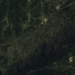
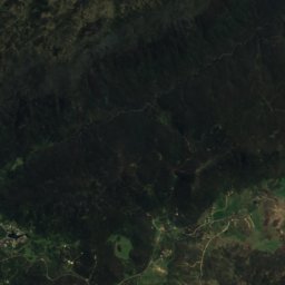
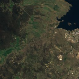
衛星: Sentinel-2 cloudless 2016(EOX IT Services GmbH) · CC BY 4.0 · 改変したCopernicus Sentinelデータ(2016年)を含みます
Perisher
Perisher Valley
88 km · 47 リフト
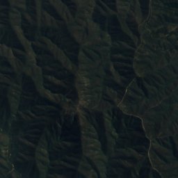
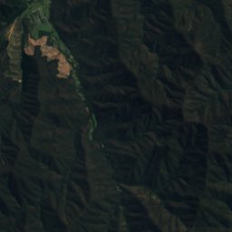
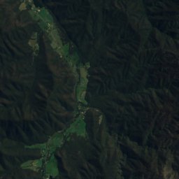
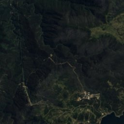
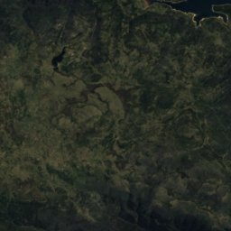
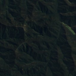
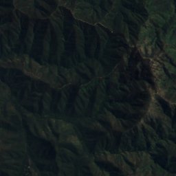
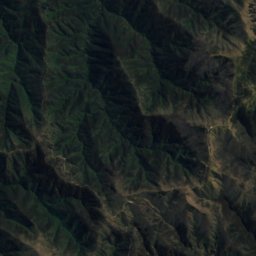
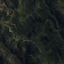
衛星: Sentinel-2 cloudless 2016(EOX IT Services GmbH) · CC BY 4.0 · 改変したCopernicus Sentinelデータ(2016年)を含みます
Mount Hotham
Harrietville
80 km · 14 リフト
衛星: Sentinel-2 cloudless 2016(EOX IT Services GmbH) · CC BY 4.0 · 改変したCopernicus Sentinelデータ(2016年)を含みます
Thredbo Resort
Thredbo
68 km · 17 リフト
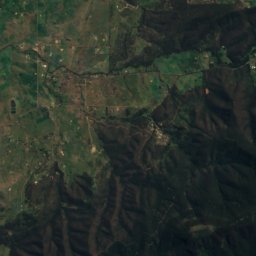
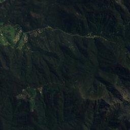
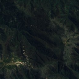
衛星: Sentinel-2 cloudless 2016(EOX IT Services GmbH) · CC BY 4.0 · 改変したCopernicus Sentinelデータ(2016年)を含みます
Mount Buller
Mount Buller
48 km · 21 リフト
衛星: Sentinel-2 cloudless 2016(EOX IT Services GmbH) · CC BY 4.0 · 改変したCopernicus Sentinelデータ(2016年)を含みます
Falls Creek
Falls Creek
40 km · 14 リフト
衛星: Sentinel-2 cloudless 2016(EOX IT Services GmbH) · CC BY 4.0 · 改変したCopernicus Sentinelデータ(2016年)を含みます
Charlotte Pass
Perisher Valley
12 km · 5 リフト
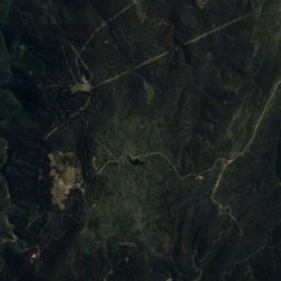
衛星: Sentinel-2 cloudless 2016(EOX IT Services GmbH) · CC BY 4.0 · 改変したCopernicus Sentinelデータ(2016年)を含みます
Selwyn Snow Resort
Kiandra
8.7 km · 8 リフト
衛星: Sentinel-2 cloudless 2016(EOX IT Services GmbH) · CC BY 4.0 · 改変したCopernicus Sentinelデータ(2016年)を含みます
Mount Baw Baw
Aberfeldy
5.6 km · 8 リフト
衛星: Sentinel-2 cloudless 2016(EOX IT Services GmbH) · CC BY 4.0 · 改変したCopernicus Sentinelデータ(2016年)を含みます
Mount Mawson
Maydena
2.1 km · 3 リフト
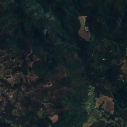
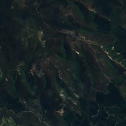
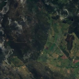
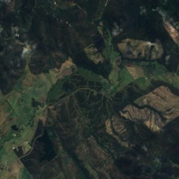
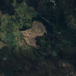
衛星: Sentinel-2 cloudless 2016(EOX IT Services GmbH) · CC BY 4.0 · 改変したCopernicus Sentinelデータ(2016年)を含みます
Ben Lomond
Mathinna
0.0 km · 6 リフト