
 Mooloolah River
ビーチSunshine Coast, Queensland
Mooloolaba Beach
ビーチ標高2 mベスト 6月 · 8月–9月
標高2 m海抜
海水温(最高)27°C2月
最寄りの地点Sunshine Coast5.0 km
南緯26.68°、東経153.12°標高 2 mUTC+10 · オーストラリア東部標準時
旅行時期Sunshine Coast · 天気スコア
ベストシーズン6月 · 8月–9月
10月:最高 / 最低25° / 18°
ビーチ
Mooloolaba Beach 概要
Mooloolaba Beachはオーストラリア(Queensland)にあるビーチです。
標高2 mです。
最も近い地点は、北西に5.0 km離れたSunshine Coastです。そこで天気が最も快適なのは6月、8月、9月です。
海水温が最も高いのは2月で、約27°Cです。
周辺の現在の天気
Sunshine Coastの天気予報21°
現在の天気:曇り
今日
10月27日
27°
21°
6 mm
水
10月28日
30°
19°
木
10月29日
23°
16°
2 mm
金
10月30日
23°
17°
土
10月31日
22°
18°
2 mm
モデル計算時刻 00:00 UTC1 日に数回更新
年間の海水温と気温
Sunshine Coast沖の海面水温と平均最高気温(月別)。1月26°28°
2月27°27°
3月26°26°
4月25°24°
5月24°22°
6月22°20°
7月21°19°
8月21°21°
9月21°23°
10月22°25°
11月24°26°
12月25°27°
海気温、日最高
地図
Mooloolaba Beach 上空から
周辺の自然全国

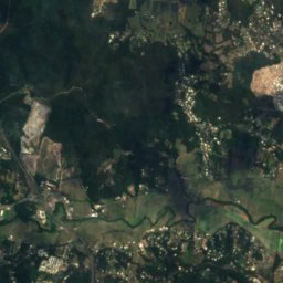
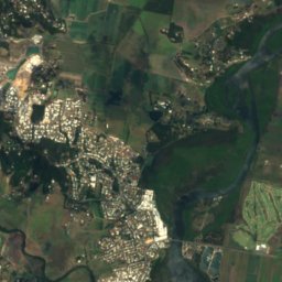
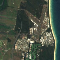

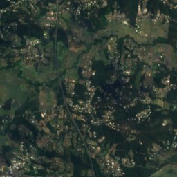
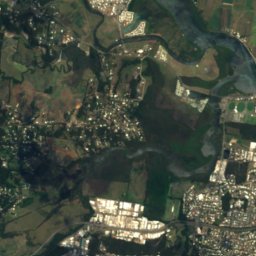
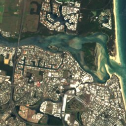
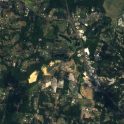
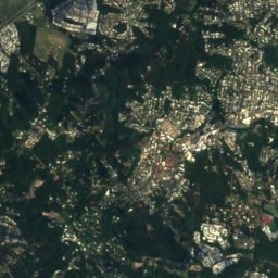
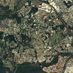
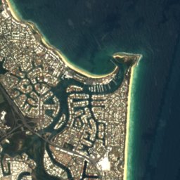

衛星: Sentinel-2 cloudless 2016(EOX IT Services GmbH) · CC BY 4.0 · 改変したCopernicus Sentinelデータ(2016年)を含みます
衛星: Sentinel-2 cloudless 2016(EOX IT Services GmbH) · CC BY 4.0 · 改変したCopernicus Sentinelデータ(2016年)を含みます
衛星: Sentinel-2 cloudless 2016(EOX IT Services GmbH) · CC BY 4.0 · 改変したCopernicus Sentinelデータ(2016年)を含みます
衛星: Sentinel-2 cloudless 2016(EOX IT Services GmbH) · CC BY 4.0 · 改変したCopernicus Sentinelデータ(2016年)を含みます
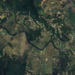
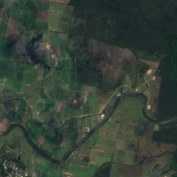
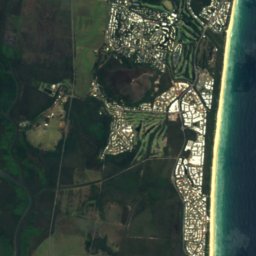

衛星: Sentinel-2 cloudless 2016(EOX IT Services GmbH) · CC BY 4.0 · 改変したCopernicus Sentinelデータ(2016年)を含みます
近くに泊まる
すぐ近くの地点

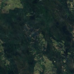
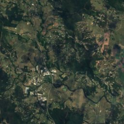
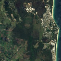


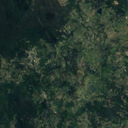
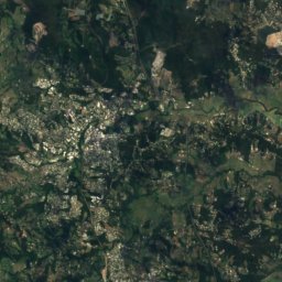
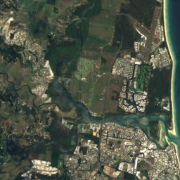

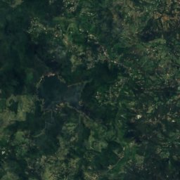
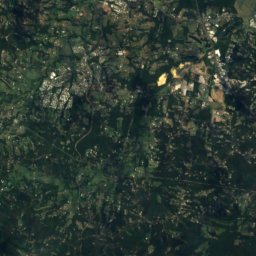
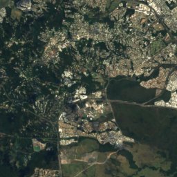
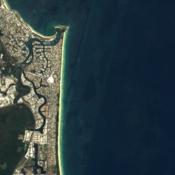

衛星: Sentinel-2 cloudless 2016(EOX IT Services GmbH) · CC BY 4.0 · 改変したCopernicus Sentinelデータ(2016年)を含みます
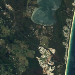
Twin Waters
Queensland · 6.6 km 北西
25°10月の最高
10雨の日
77スコア

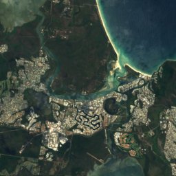
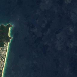
衛星: Sentinel-2 cloudless 2016(EOX IT Services GmbH) · CC BY 4.0 · 改変したCopernicus Sentinelデータ(2016年)を含みます
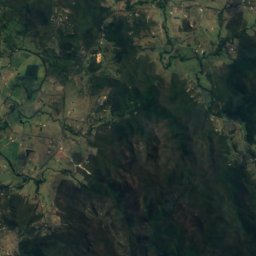
Yandina Creek
Queensland · 18 km 北西
25°10月の最高
10雨の日
76スコア
周辺
Sunshine Coastとその周辺
自然


山


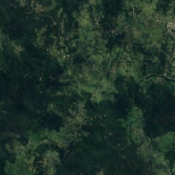
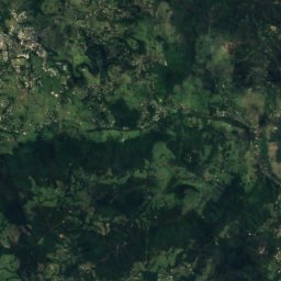
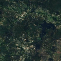
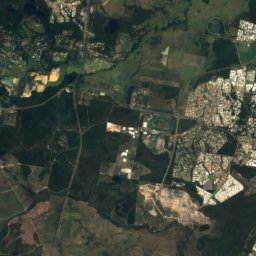
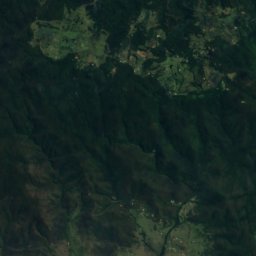
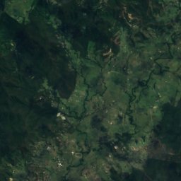
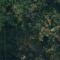
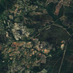
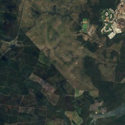
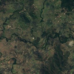
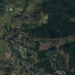
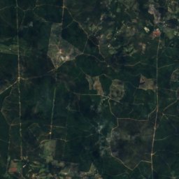
衛星: Sentinel-2 cloudless 2016(EOX IT Services GmbH) · CC BY 4.0 · 改変したCopernicus Sentinelデータ(2016年)を含みます
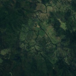
Mount Coonowrin
377 m
遺産
衛星: Sentinel-2 cloudless 2016(EOX IT Services GmbH) · CC BY 4.0 · 改変したCopernicus Sentinelデータ(2016年)を含みます
Buderim House

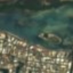




衛星: Sentinel-2 cloudless 2016(EOX IT Services GmbH) · CC BY 4.0 · 改変したCopernicus Sentinelデータ(2016年)を含みます
Cotton Tree Caravan Park


衛星: Sentinel-2 cloudless 2016(EOX IT Services GmbH) · CC BY 4.0 · 改変したCopernicus Sentinelデータ(2016年)を含みます
ビッグ・パイナップル
1971