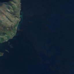

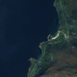
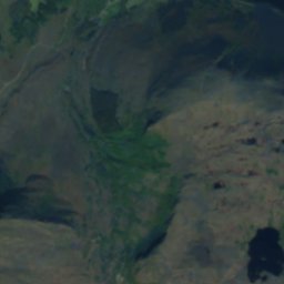
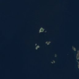
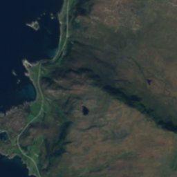
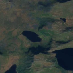
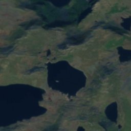
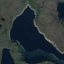
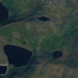
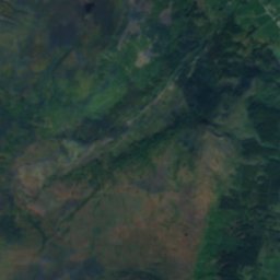
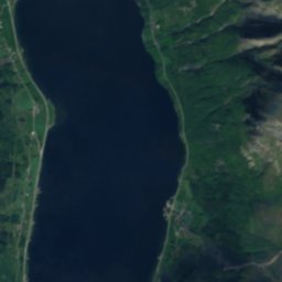
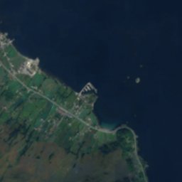

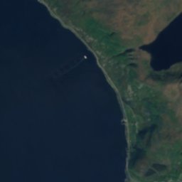
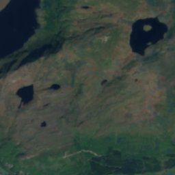
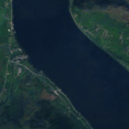
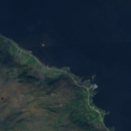
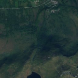
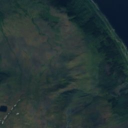
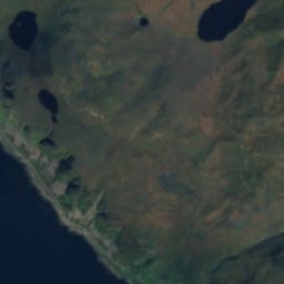
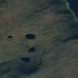
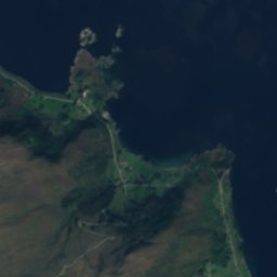
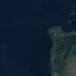
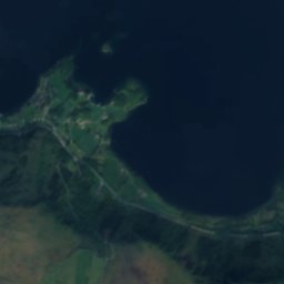
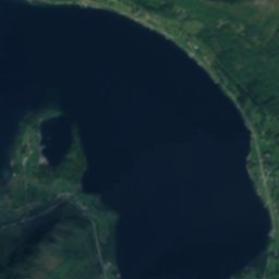
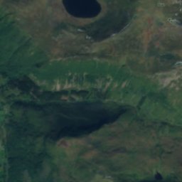
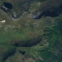
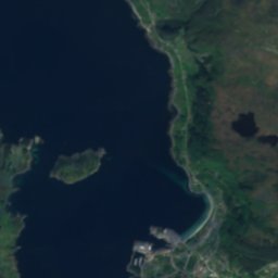
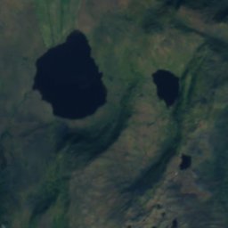
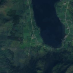
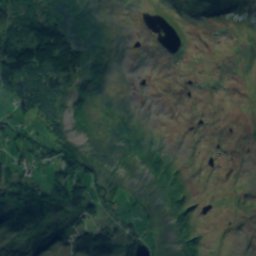
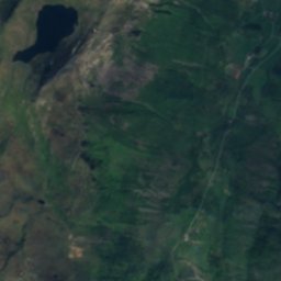
衛星: Sentinel-2 cloudless 2016(EOX IT Services GmbH) · CC BY 4.0 · 改変したCopernicus Sentinelデータ(2016年)を含みます
島Fiskå, ムーレ・オ・ロムスダール県
Låtreflua
島ベスト 6月–8月
標高–海抜
面積–総面積
最寄りの地点Fiskå1.5 km
北緯62.09°、東経5.56°UTC+2 · 中央ヨーロッパ夏時間
旅行時期Fiskå · 天気スコア
ベストシーズン6月–8月
10月:最高 / 最低11° / 5°
島
Låtreflua 概要
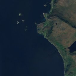
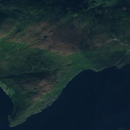
Låtrefluaはノルウェー(ムーレ・オ・ロムスダール県)にある島です。
アトラスで最も近い地点は、北に1.5 km離れたFiskåです。そこで天気が最も快適なのは6月、7月、8月です。
周辺の現在の天気
Fiskåの天気予報11°
現在の天気:曇り
今日
10月23日
12°
3°
3 mm
土
10月24日
11°
2°
日
10月25日
14°
6°
月
10月26日
10°
6°
19 mm
火
10月27日
14°
5°
11 mm
モデル計算時刻 12:00 UTC1 日に数回更新
いつ行くか
Fiskåの気候Låtreflua:ベストシーズン
Fiskåの月別評価
快適さ、雨の降らない日数、日照 · 100 点満点13
1月
14
2月
14
3月
19
4月
36
5月
46
6月
57
7月
57
8月
43
9月
19
10月
15
11月
14
12月
地図
Låtreflua 上空から
周辺の自然全国
衛星: Sentinel-2 cloudless 2016(EOX IT Services GmbH) · CC BY 4.0 · 改変したCopernicus Sentinelデータ(2016年)を含みます
衛星: Sentinel-2 cloudless 2016(EOX IT Services GmbH) · CC BY 4.0 · 改変したCopernicus Sentinelデータ(2016年)を含みます
衛星: Sentinel-2 cloudless 2016(EOX IT Services GmbH) · CC BY 4.0 · 改変したCopernicus Sentinelデータ(2016年)を含みます
衛星: Sentinel-2 cloudless 2016(EOX IT Services GmbH) · CC BY 4.0 · 改変したCopernicus Sentinelデータ(2016年)を含みます
衛星: Sentinel-2 cloudless 2016(EOX IT Services GmbH) · CC BY 4.0 · 改変したCopernicus Sentinelデータ(2016年)を含みます
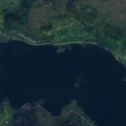
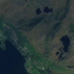
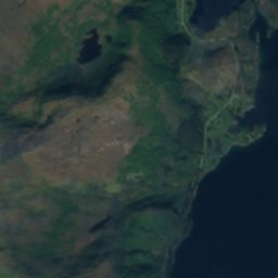
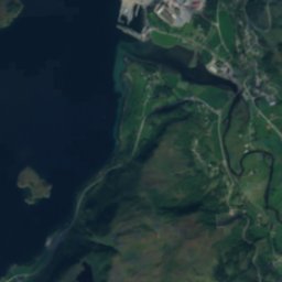
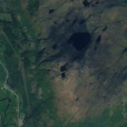
衛星: Sentinel-2 cloudless 2016(EOX IT Services GmbH) · CC BY 4.0 · 改変したCopernicus Sentinelデータ(2016年)を含みます
周辺の山頂ノルウェーの山
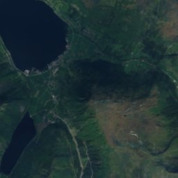
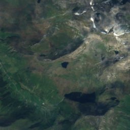
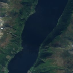
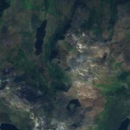
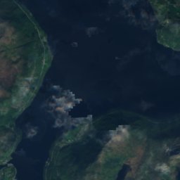
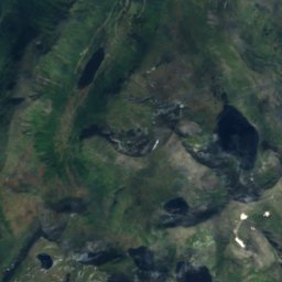
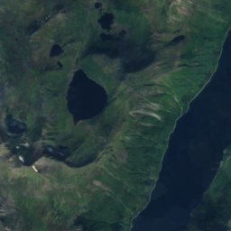
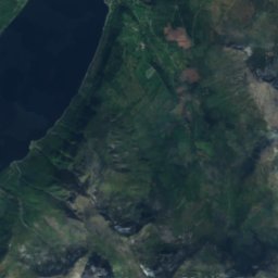
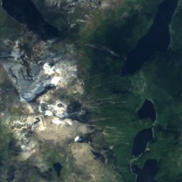
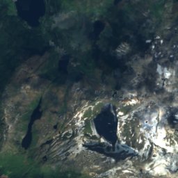
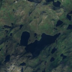
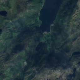
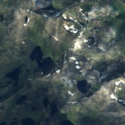
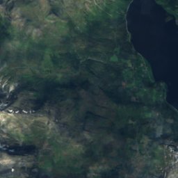
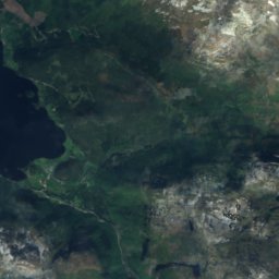
衛星: Sentinel-2 cloudless 2016(EOX IT Services GmbH) · CC BY 4.0 · 改変したCopernicus Sentinelデータ(2016年)を含みます
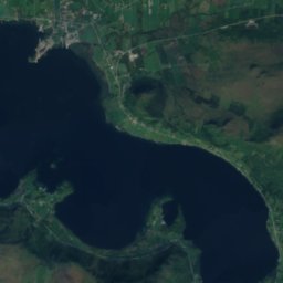
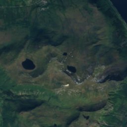
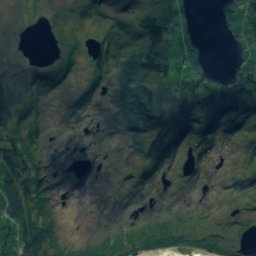
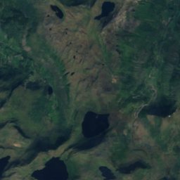
衛星: Sentinel-2 cloudless 2016(EOX IT Services GmbH) · CC BY 4.0 · 改変したCopernicus Sentinelデータ(2016年)を含みます
衛星: Sentinel-2 cloudless 2016(EOX IT Services GmbH) · CC BY 4.0 · 改変したCopernicus Sentinelデータ(2016年)を含みます
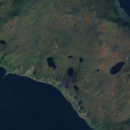
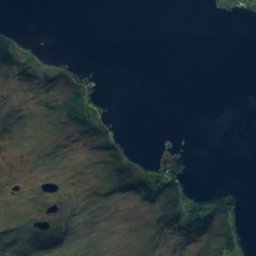
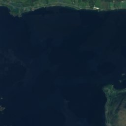
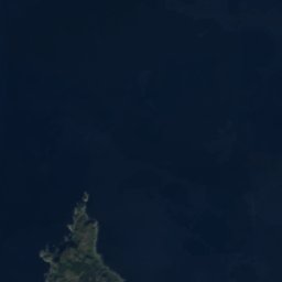
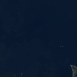
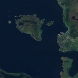
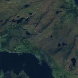
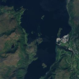
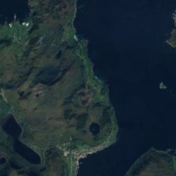
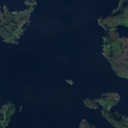
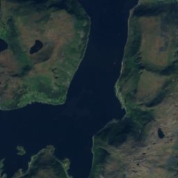
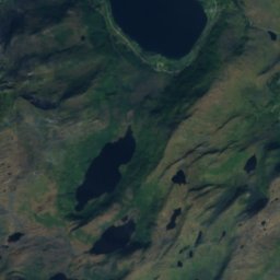
衛星: Sentinel-2 cloudless 2016(EOX IT Services GmbH) · CC BY 4.0 · 改変したCopernicus Sentinelデータ(2016年)を含みます
衛星: Sentinel-2 cloudless 2016(EOX IT Services GmbH) · CC BY 4.0 · 改変したCopernicus Sentinelデータ(2016年)を含みます
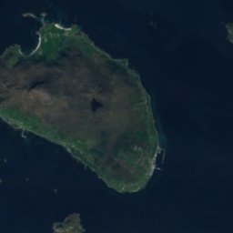
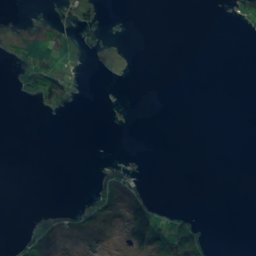
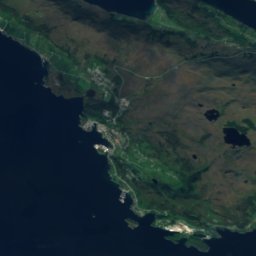
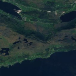
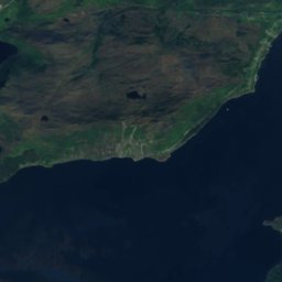
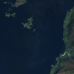
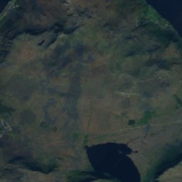
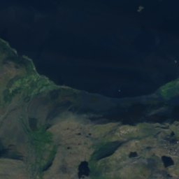
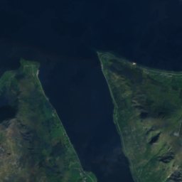
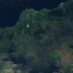
衛星: Sentinel-2 cloudless 2016(EOX IT Services GmbH) · CC BY 4.0 · 改変したCopernicus Sentinelデータ(2016年)を含みます


周辺
Fiskåとその周辺
自然
衛星: Sentinel-2 cloudless 2016(EOX IT Services GmbH) · CC BY 4.0 · 改変したCopernicus Sentinelデータ(2016年)を含みます
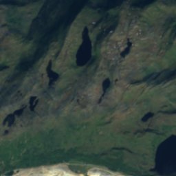
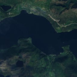
Gusdalsvatnet
湖 · 52 m
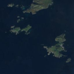
衛星: Sentinel-2 cloudless 2016(EOX IT Services GmbH) · CC BY 4.0 · 改変したCopernicus Sentinelデータ(2016年)を含みます
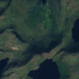
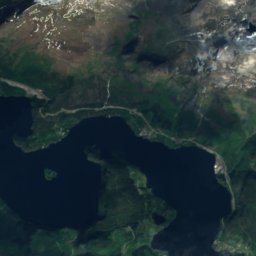
Sandvikvatnet
湖 · 204 m
衛星: Sentinel-2 cloudless 2016(EOX IT Services GmbH) · CC BY 4.0 · 改変したCopernicus Sentinelデータ(2016年)を含みます
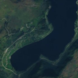
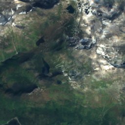
Olalidvatnet
湖 · 475 m
山
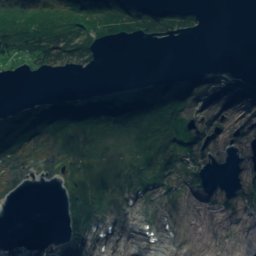
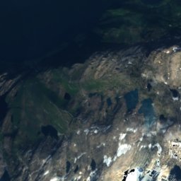
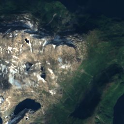
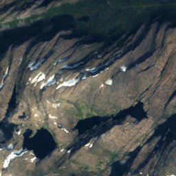
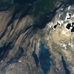
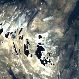
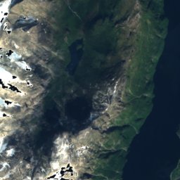
衛星: Sentinel-2 cloudless 2016(EOX IT Services GmbH) · CC BY 4.0 · 改変したCopernicus Sentinelデータ(2016年)を含みます
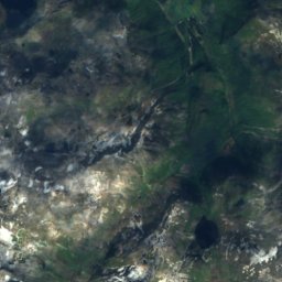
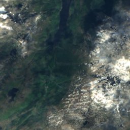
Blånibba, Vestland
1,870 m

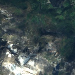
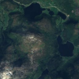
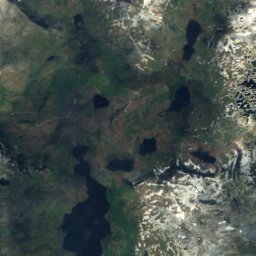
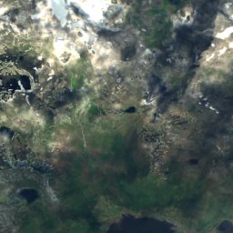
衛星: Sentinel-2 cloudless 2016(EOX IT Services GmbH) · CC BY 4.0 · 改変したCopernicus Sentinelデータ(2016年)を含みます
Eidskyrkja
1,483 m
遺産









衛星: Sentinel-2 cloudless 2016(EOX IT Services GmbH) · CC BY 4.0 · 改変したCopernicus Sentinelデータ(2016年)を含みます
Vanylven Church
1864


