






















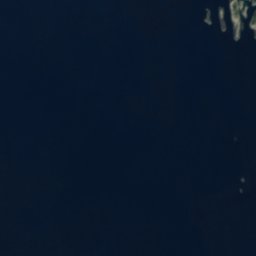
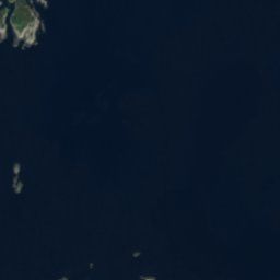

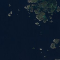
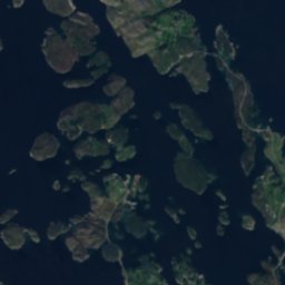





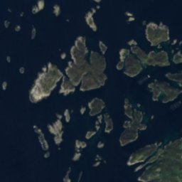





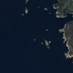
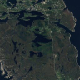

衛星: Sentinel-2 cloudless 2016(EOX IT Services GmbH) · CC BY 4.0 · 改変したCopernicus Sentinelデータ(2016年)を含みます
 Fedjebjørnen
島Fedje, ヴェストラン県
Håflua
島ベスト 7月–9月
標高–海抜
面積–総面積
最寄りの地点Fedje3.6 km
北緯60.81°、東経4.68°UTC+1 · 中央ヨーロッパ標準時
旅行時期Fedje · 天気スコア
ベストシーズン7月–9月
10月:最高 / 最低12° / 9°
島
Håflua 概要
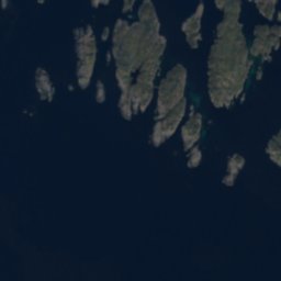
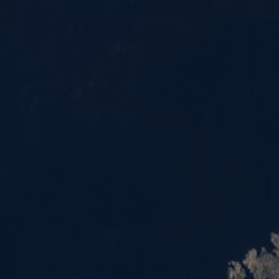
Håfluaはノルウェー(ヴェストラン県)にある島です。
最も近い地点は、南東に3.6 km離れたFedjeです。そこで天気が最も快適なのは7月、8月、9月です。
周辺の現在の天気
Fedjeの天気予報13°
現在の天気:雨
今日
10月25日
14°
10°
9 mm
月
10月26日
12°
10°
5 mm
火
10月27日
15°
10°
16 mm
水
10月28日
13°
11°
7 mm
木
10月29日
12°
9°
3 mm
モデル計算時刻 00:00 UTC1 日に数回更新
いつ行くか
Fedjeの気候Håflua:ベストシーズン
Fedjeの月別評価
快適さ、雨の降らない日数、日照 · 100 点満点15
1月
15
2月
16
3月
22
4月
26
5月
40
6月
51
7月
55
8月
44
9月
27
10月
16
11月
16
12月
地図
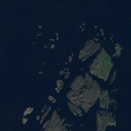
Håflua 上空から
周辺の自然全国
衛星: Sentinel-2 cloudless 2016(EOX IT Services GmbH) · CC BY 4.0 · 改変したCopernicus Sentinelデータ(2016年)を含みます
衛星: Sentinel-2 cloudless 2016(EOX IT Services GmbH) · CC BY 4.0 · 改変したCopernicus Sentinelデータ(2016年)を含みます
衛星: Sentinel-2 cloudless 2016(EOX IT Services GmbH) · CC BY 4.0 · 改変したCopernicus Sentinelデータ(2016年)を含みます
衛星: Sentinel-2 cloudless 2016(EOX IT Services GmbH) · CC BY 4.0 · 改変したCopernicus Sentinelデータ(2016年)を含みます
衛星: Sentinel-2 cloudless 2016(EOX IT Services GmbH) · CC BY 4.0 · 改変したCopernicus Sentinelデータ(2016年)を含みます
衛星: Sentinel-2 cloudless 2016(EOX IT Services GmbH) · CC BY 4.0 · 改変したCopernicus Sentinelデータ(2016年)を含みます
周辺の山頂ノルウェーの山


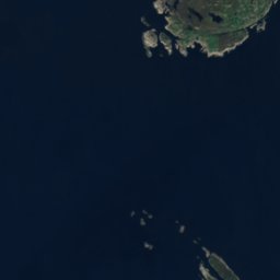
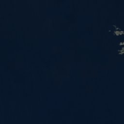
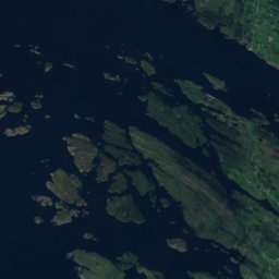
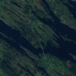

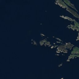
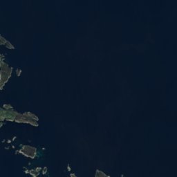
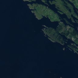
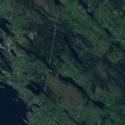

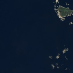
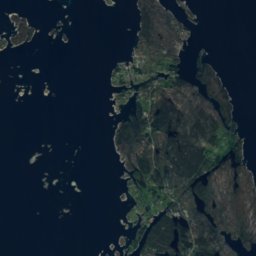
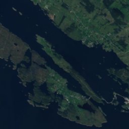
衛星: Sentinel-2 cloudless 2016(EOX IT Services GmbH) · CC BY 4.0 · 改変したCopernicus Sentinelデータ(2016年)を含みます

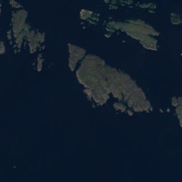
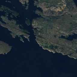
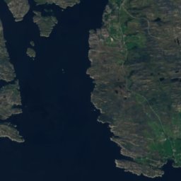
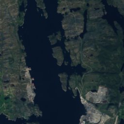
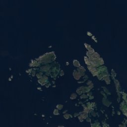
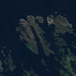
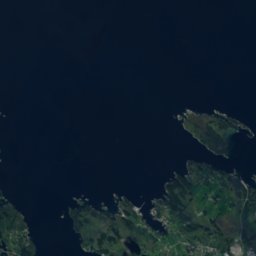
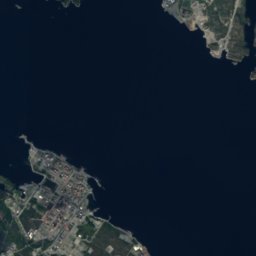
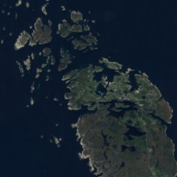
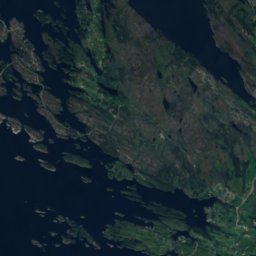
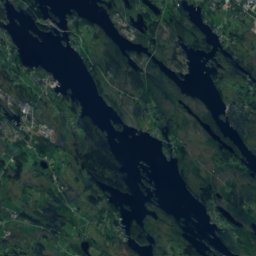
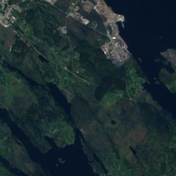
衛星: Sentinel-2 cloudless 2016(EOX IT Services GmbH) · CC BY 4.0 · 改変したCopernicus Sentinelデータ(2016年)を含みます
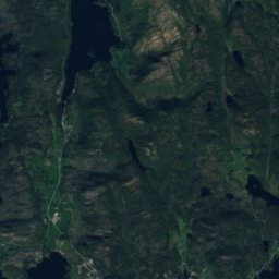
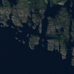
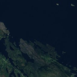
衛星: Sentinel-2 cloudless 2016(EOX IT Services GmbH) · CC BY 4.0 · 改変したCopernicus Sentinelデータ(2016年)を含みます

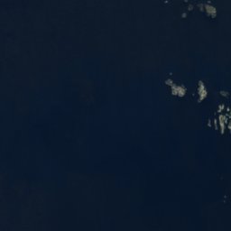



衛星: Sentinel-2 cloudless 2016(EOX IT Services GmbH) · CC BY 4.0 · 改変したCopernicus Sentinelデータ(2016年)を含みます


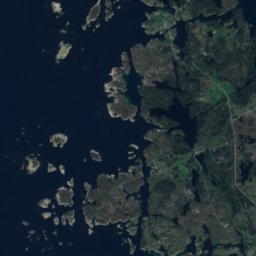
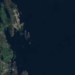
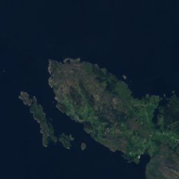
衛星: Sentinel-2 cloudless 2016(EOX IT Services GmbH) · CC BY 4.0 · 改変したCopernicus Sentinelデータ(2016年)を含みます
近くに泊まる
すぐ近くの地点


周辺
Fedjeとその周辺
自然
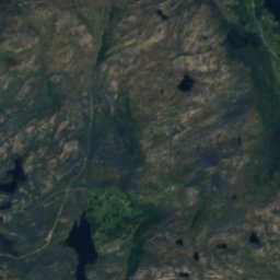
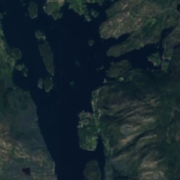
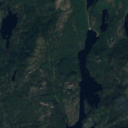
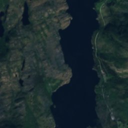
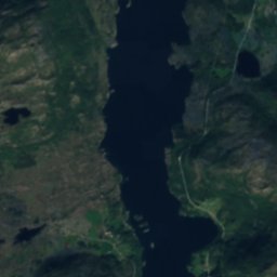
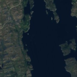
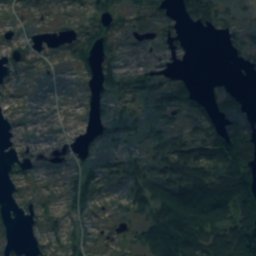
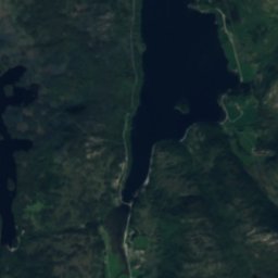
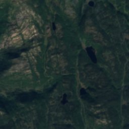
衛星: Sentinel-2 cloudless 2016(EOX IT Services GmbH) · CC BY 4.0 · 改変したCopernicus Sentinelデータ(2016年)を含みます
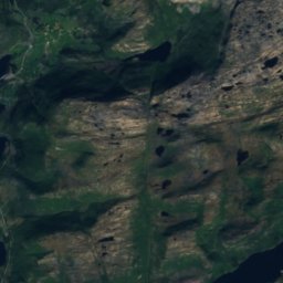
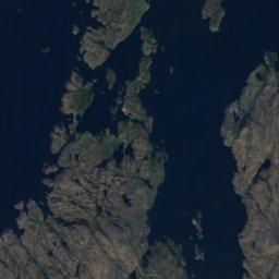
Langevatnet, Dalsøyra
湖 · 8 m
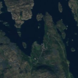
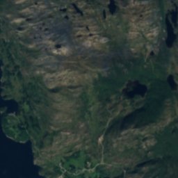
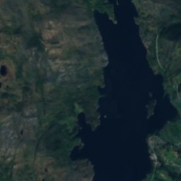
衛星: Sentinel-2 cloudless 2016(EOX IT Services GmbH) · CC BY 4.0 · 改変したCopernicus Sentinelデータ(2016年)を含みます
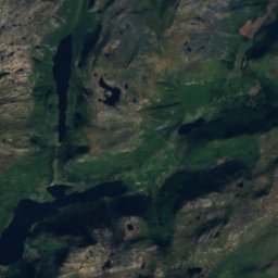
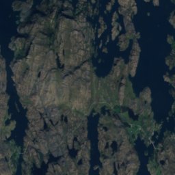
Svardalsvatnet
湖 · 20 m
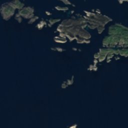
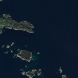

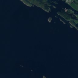
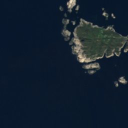
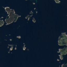
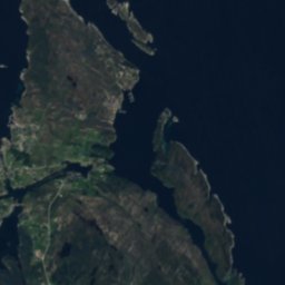

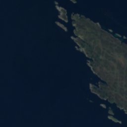

衛星: Sentinel-2 cloudless 2016(EOX IT Services GmbH) · CC BY 4.0 · 改変したCopernicus Sentinelデータ(2016年)を含みます
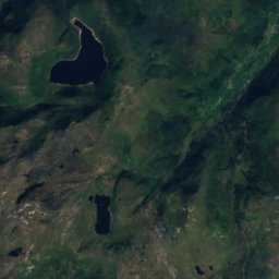
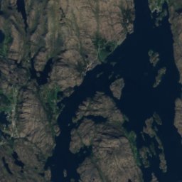
Hjelmevatnet, Haugland
湖 · 10 m
山
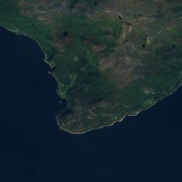
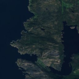
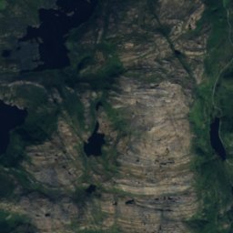
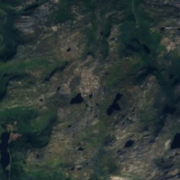
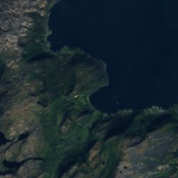
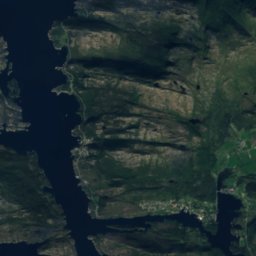
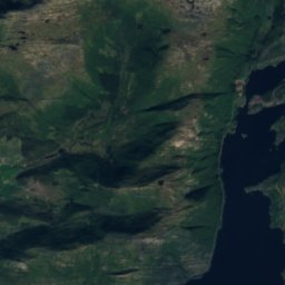
衛星: Sentinel-2 cloudless 2016(EOX IT Services GmbH) · CC BY 4.0 · 改変したCopernicus Sentinelデータ(2016年)を含みます
Arnipa
624 m


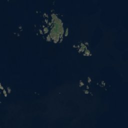
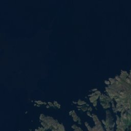
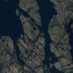

衛星: Sentinel-2 cloudless 2016(EOX IT Services GmbH) · CC BY 4.0 · 改変したCopernicus Sentinelデータ(2016年)を含みます
Vardefjellet
316 m
遺産


博物館・美術館

写真: Smtunli, Svein-Magne Tunli - http://www.tunliweb.no/SM/English/sm_eng.htm · CC BY-SA 3.0 · Wikimedia Commonsこの写真を報告 · リンクのみ、保存なし
