自然
ケニアの水辺、氷河、原野
湖、滝、氷河、国立公園、山小屋。それぞれの場所、規模、周辺の天気を掲載。
湖20か所(個別ページあり)
滝9か所(個別ページあり)
国立公園19か所(個別ページあり)
ビーチ10か所(個別ページあり)

湖
ケニアの湖


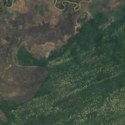
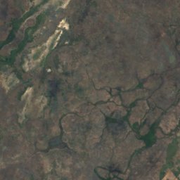
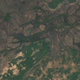
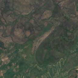
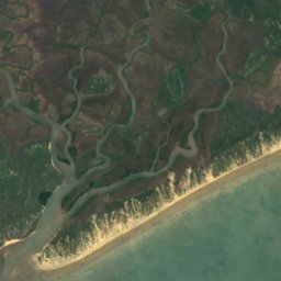
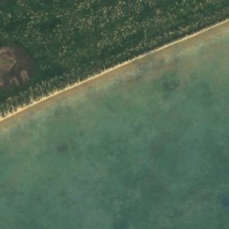
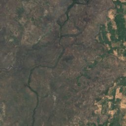
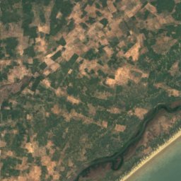
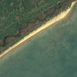
衛星: Sentinel-2 cloudless 2016(EOX IT Services GmbH) · CC BY 4.0 · 改変したCopernicus Sentinelデータ(2016年)を含みます
Tana River Delta Ramsar Site
Witu, Lamu
滝
ケニアの滝

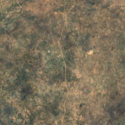
衛星: Sentinel-2 cloudless 2016(EOX IT Services GmbH) · CC BY 4.0 · 改変したCopernicus Sentinelデータ(2016年)を含みます
Sheldrick Falls
Kwale, Kwale County
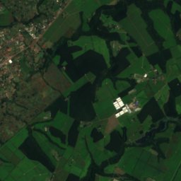
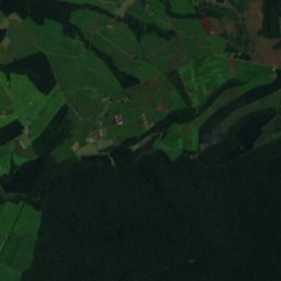
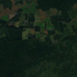
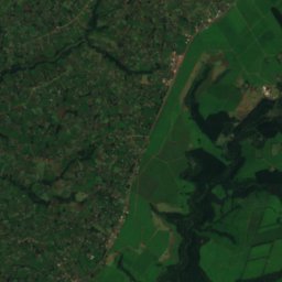
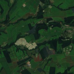
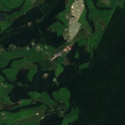
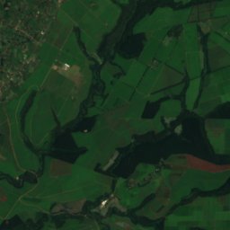
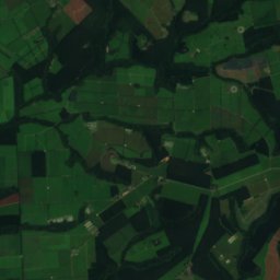

衛星: Sentinel-2 cloudless 2016(EOX IT Services GmbH) · CC BY 4.0 · 改変したCopernicus Sentinelデータ(2016年)を含みます
Chomong Falls
Litein, Kericho County
衛星: Sentinel-2 cloudless 2016(EOX IT Services GmbH) · CC BY 4.0 · 改変したCopernicus Sentinelデータ(2016年)を含みます
Coryndon Falls
Litein, Kericho County
衛星: Sentinel-2 cloudless 2016(EOX IT Services GmbH) · CC BY 4.0 · 改変したCopernicus Sentinelデータ(2016年)を含みます
Foaker Falls
Webuye, Bungoma County
衛星: Sentinel-2 cloudless 2016(EOX IT Services GmbH) · CC BY 4.0 · 改変したCopernicus Sentinelデータ(2016年)を含みます
Gura Waterfall
Othaya, Nyeri County
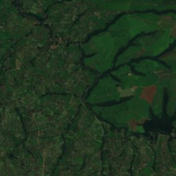
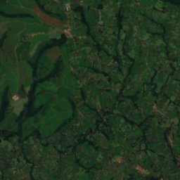
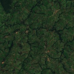
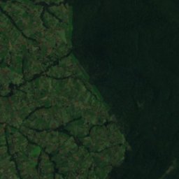
衛星: Sentinel-2 cloudless 2016(EOX IT Services GmbH) · CC BY 4.0 · 改変したCopernicus Sentinelデータ(2016年)を含みます
Kipinikwe Falls
Litein, Kericho County
衛星: Sentinel-2 cloudless 2016(EOX IT Services GmbH) · CC BY 4.0 · 改変したCopernicus Sentinelデータ(2016年)を含みます
Martins Rapids
Webuye, Bungoma County
国立公園
ケニアの国立公園


Mombasa Marine National Park and Reserve
Mombasa, Mombasa County
200 km²


全リスト:国立公園19か所
- Arabuko Sokoke National Park
- Buffalo Springs National Reserve
- Kisite-Mpunguti Marine National Park
- Marsabit National Park
- Marsabit National Reserve
- Mombasa Marine National Park and Reserve
- Mount Longonot National Park
- Ruma National Park
- Saiwa Swamp National Park
- アベデーア国立公園
- アンボセリ国立公園
- ジーザス要塞
- チユル丘陵国立公園
- ナイロビ国立公園
- ナクル湖国立公園
- ヘルズ・ゲート国立公園
- マリンディ海中国立公園
- メルー国立公園
- ワタム海中国立公園
ビーチ
ケニアのビーチ


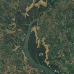
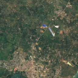
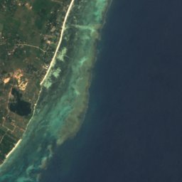
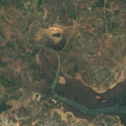
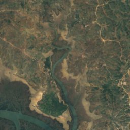
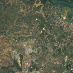
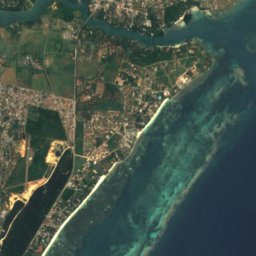
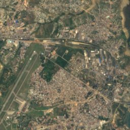
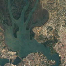
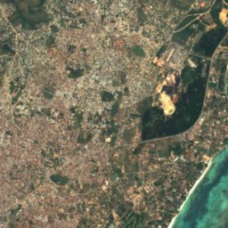
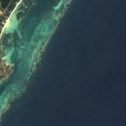

衛星: Sentinel-2 cloudless 2016(EOX IT Services GmbH) · CC BY 4.0 · 改変したCopernicus Sentinelデータ(2016年)を含みます
Bumburi Beach
Mtwapa, Kilifi County
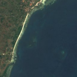
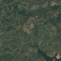
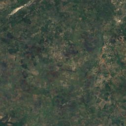
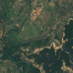
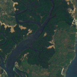
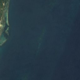
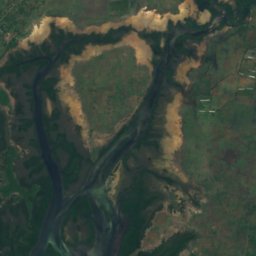
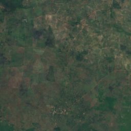
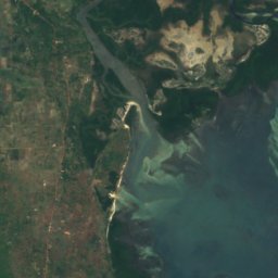
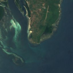

衛星: Sentinel-2 cloudless 2016(EOX IT Services GmbH) · CC BY 4.0 · 改変したCopernicus Sentinelデータ(2016年)を含みます
Funzi Beach
Shimoni, Kwale County
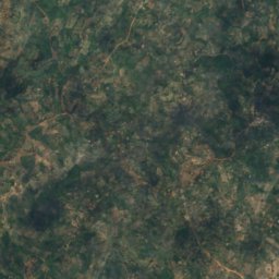
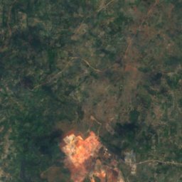
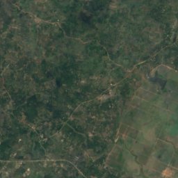
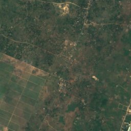
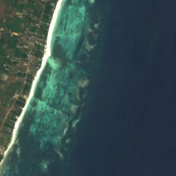
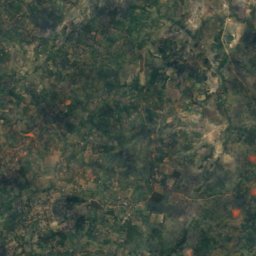
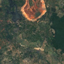
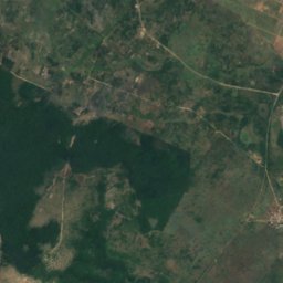
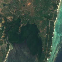
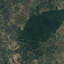
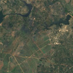
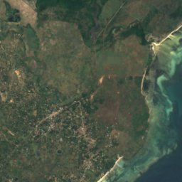
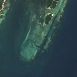

衛星: Sentinel-2 cloudless 2016(EOX IT Services GmbH) · CC BY 4.0 · 改変したCopernicus Sentinelデータ(2016年)を含みます
Gazi Beach
Msambweni, Kwale County
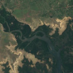
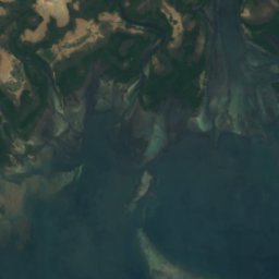
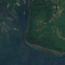
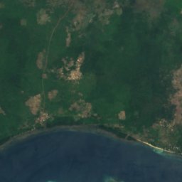
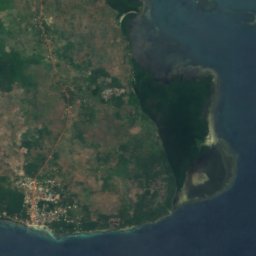

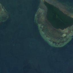
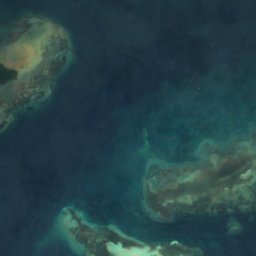
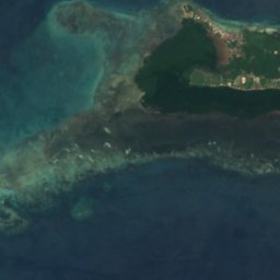
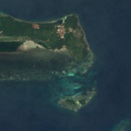
衛星: Sentinel-2 cloudless 2016(EOX IT Services GmbH) · CC BY 4.0 · 改変したCopernicus Sentinelデータ(2016年)を含みます
Kifundi Beach
Shimoni, Kwale County
衛星: Sentinel-2 cloudless 2016(EOX IT Services GmbH) · CC BY 4.0 · 改変したCopernicus Sentinelデータ(2016年)を含みます
Nyuma Maji
Shimoni, Kwale County
島
ケニアの島





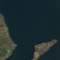


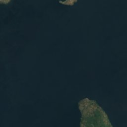
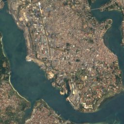
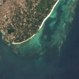

全リスト:島95か所
- Andromache Reef
- Bunjuu
- Buruji
- Chale Island
- Chale Reef
- Chamarung Island
- Crescent Island
- Fundisa Kijandoni Island
- Fungo Baniani
- Gengra Island
- Gordon Reefs
- Howard Rocks
- Jiwe Ia Jahazi
- Kamarin
- Kamnara Island
- Kiambone Kwa Kibwana
- Kilindini Reefs
- Kimaboni Island
- Kinyika Island
- Kipwa Mtu
- Kirepwe
- Kirika Island
- Kirui Island
- Koyamo Island
- Ksite Island
- Leopard Reef
- Leven Reef
- Liech Island
- Lockyer Patch
- M'dua
- Madyoka Island
- Makame
- Mako Kokwe
- Malindi Reef
- Manda Island
- Manda Toto Island
- Mbasa Island
- Minyani
- Mkokoni Island
- Mlimani Island
- Mombasa Noord
- Mpunguti Ya Chini
- Mpunguti Ya Juu
- Msambweni Reef
- Mwamba Hanawi
- Mwamba Kijimbo
- Mwamba Kitugamue
- Mwamba Pazarli
- Mwamba Tawangu
- Mwamba Wa Ziwaiu
- Mwamba Wanga
- Mwarembo
- Mwezi Reef
- Mwipwa
- Mzenzi Island
- Ncha Mwamba
- Ndau Pate Island
- Ndede Island
- Ngodhe Island
- Ngowa Island
- North Reef
- Nyakagera Island
- Olempolos
- Osope Island
- Pazarli Ridge
- Pillar Reef
- Rambugu Island
- Rock Island
- Saga Island
- Seki Island
- Shaka la Mzungu Island
- Shaka la Paye
- Shaka la Siyu
- Shindakazi Island
- Sifu Island
- Sii Island
- Sudi Island
- Sukuru Island
- Takawiri Island
- Tenewi ya Juu
- Unyama Island
- Usuli Island
- Uware Island
- Vidal Bank
- Vigibweni Island
- Wahondo Island
- Wasini Island
- Wayaga Island
- Yalombo Island
- マボコ島
- ムファンガノ島
- モンバサ島
- ラム島
- ルシンガ島
- ンデレ島
川


