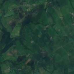
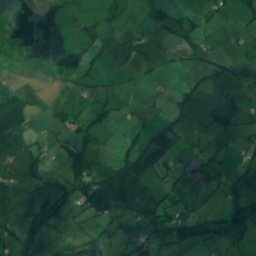
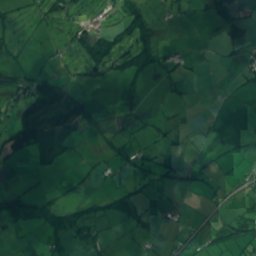
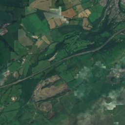
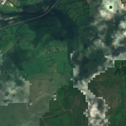
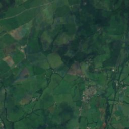
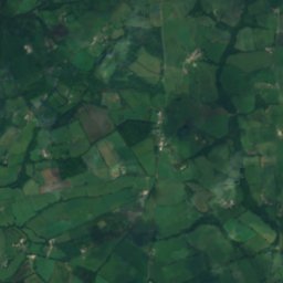
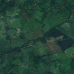
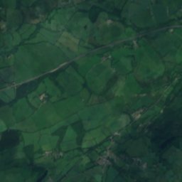
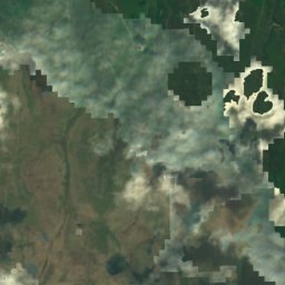
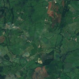
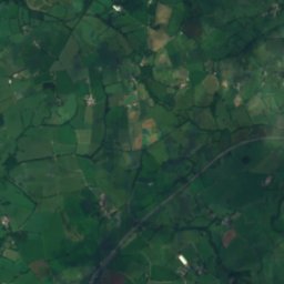
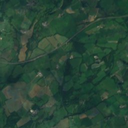
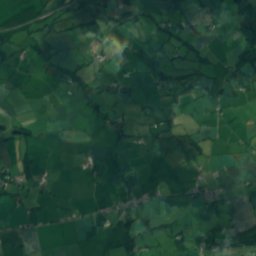
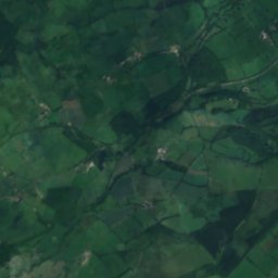
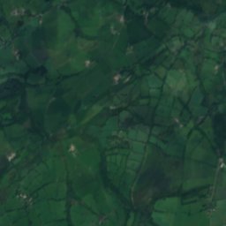
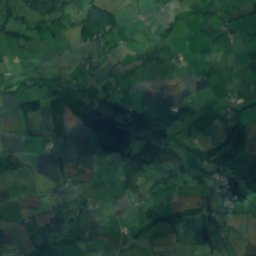
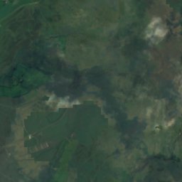
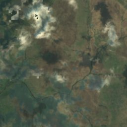
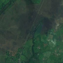
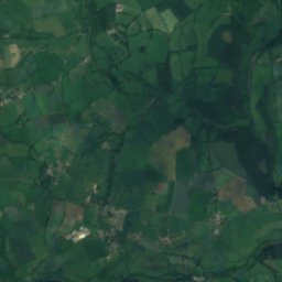
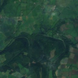
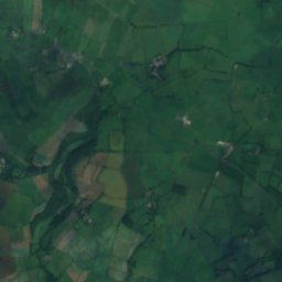
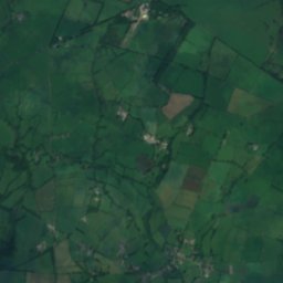
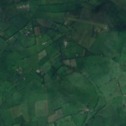
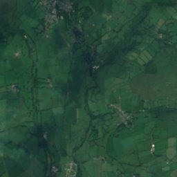
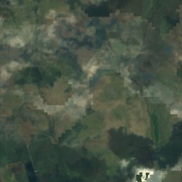
衛星: Sentinel-2 cloudless 2016(EOX IT Services GmbH) · CC BY 4.0 · 改変したCopernicus Sentinelデータ(2016年)を含みます
川Lydford, イングランド
River Lyd, Devon
川ベスト 6月–7月 · 9月
標高–海抜
面積–総面積
最寄りの地点Lydford1.8 km
北緯50.63°、西経4.12°UTC+0 · グリニッジ標準時
旅行時期Lydford · 天気スコア
ベストシーズン6月–7月 · 9月
10月:最高 / 最低14° / 7°
川
River Lyd, Devon 概要
River Lyd, Devonはイギリス(イングランド)にある川です。
最も近い地点は、北東に1.8 km離れたLydfordです。そこで天気が最も快適なのは6月、7月、9月です。
周辺の現在の天気
Lydfordの天気予報13°
現在の天気:雨
今日
10月27日
15°
8°
7 mm
水
10月28日
14°
8°
木
10月29日
14°
8°
金
10月30日
16°
8°
土
10月31日
15°
7°
モデル計算時刻 12:00 UTC1 日に数回更新
川の流路
OpenStreetMap の地図データに基づき、流域の町も示しています。- 1Lewtrenchard136 m
- 2Marystow129 m
- 3Lifton75 m
源流河口(または地図上の流路が国外へ出る地点)
いつ行くか
Lydfordの気候River Lyd, Devon:ベストシーズン
Lydfordの月別評価
快適さ、雨の降らない日数、日照 · 100 点満点15
1月
15
2月
18
3月
39
4月
54
5月
61
6月
61
7月
61
8月
63
9月
39
10月
18
11月
15
12月
地図
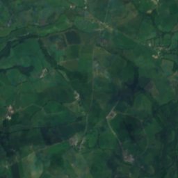
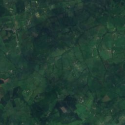
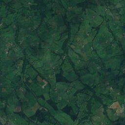
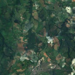
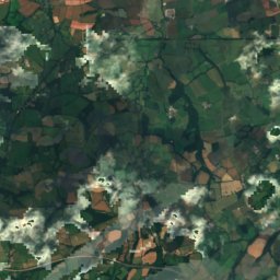
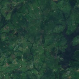
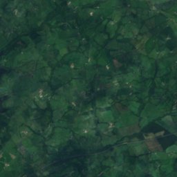
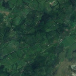
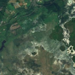
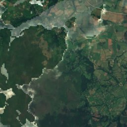
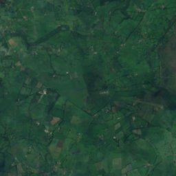
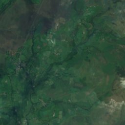
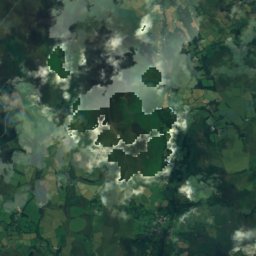
River Lyd, Devon 上空から
周辺の自然全国
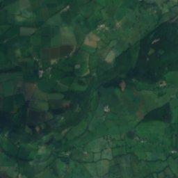
衛星: Sentinel-2 cloudless 2016(EOX IT Services GmbH) · CC BY 4.0 · 改変したCopernicus Sentinelデータ(2016年)を含みます
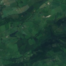
衛星: Sentinel-2 cloudless 2016(EOX IT Services GmbH) · CC BY 4.0 · 改変したCopernicus Sentinelデータ(2016年)を含みます
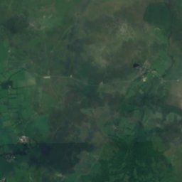
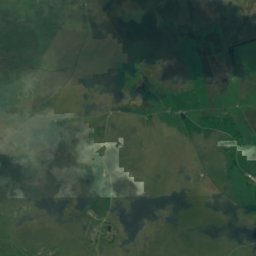
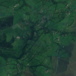
衛星: Sentinel-2 cloudless 2016(EOX IT Services GmbH) · CC BY 4.0 · 改変したCopernicus Sentinelデータ(2016年)を含みます
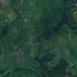
衛星: Sentinel-2 cloudless 2016(EOX IT Services GmbH) · CC BY 4.0 · 改変したCopernicus Sentinelデータ(2016年)を含みます
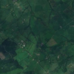
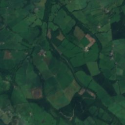
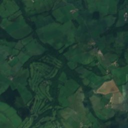
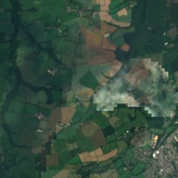
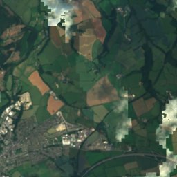
衛星: Sentinel-2 cloudless 2016(EOX IT Services GmbH) · CC BY 4.0 · 改変したCopernicus Sentinelデータ(2016年)を含みます
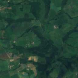
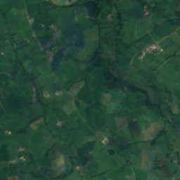
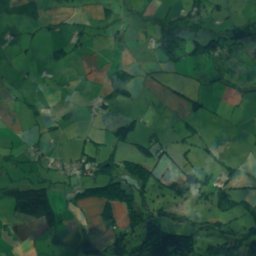
衛星: Sentinel-2 cloudless 2016(EOX IT Services GmbH) · CC BY 4.0 · 改変したCopernicus Sentinelデータ(2016年)を含みます
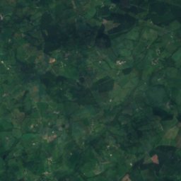
近くに泊まる
すぐ近くの地点
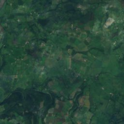
衛星: Sentinel-2 cloudless 2016(EOX IT Services GmbH) · CC BY 4.0 · 改変したCopernicus Sentinelデータ(2016年)を含みます
Lydford
イングランド · 1.8 km 北東
14°10月の最高
18雨の日
39スコア
衛星: Sentinel-2 cloudless 2016(EOX IT Services GmbH) · CC BY 4.0 · 改変したCopernicus Sentinelデータ(2016年)を含みます
Brentor
イングランド · 4.8 km 南西
14°10月の最高
18雨の日
37スコア


周辺
Lydfordとその周辺
自然
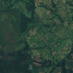
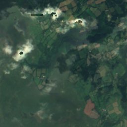
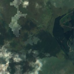
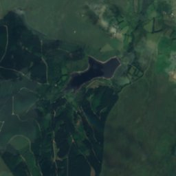
衛星: Sentinel-2 cloudless 2016(EOX IT Services GmbH) · CC BY 4.0 · 改変したCopernicus Sentinelデータ(2016年)を含みます
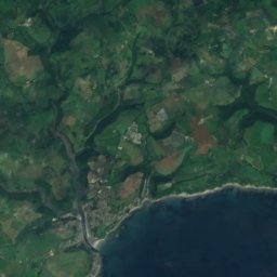
East Dart River
川 · 319 m
衛星: Sentinel-2 cloudless 2016(EOX IT Services GmbH) · CC BY 4.0 · 改変したCopernicus Sentinelデータ(2016年)を含みます
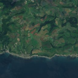
River Burn, Devon
川
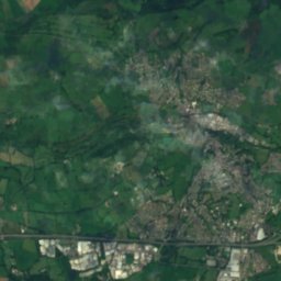
衛星: Sentinel-2 cloudless 2016(EOX IT Services GmbH) · CC BY 4.0 · 改変したCopernicus Sentinelデータ(2016年)を含みます
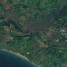
River Thrushel
川
山
遺産




衛星: Sentinel-2 cloudless 2016(EOX IT Services GmbH) · CC BY 4.0 · 改変したCopernicus Sentinelデータ(2016年)を含みます
Lydford Railway Ponds
衛星: Sentinel-2 cloudless 2016(EOX IT Services GmbH) · CC BY 4.0 · 改変したCopernicus Sentinelデータ(2016年)を含みます
Motte with two baileys and a multivallate hillfort at Burley Wood

博物館・美術館

写真: Dartmoor Prison Museum, Princetown, Devonshire by David Hallam-Jones · CC BY-SA 2.0 · Wikimedia Commonsこの写真を報告 · リンクのみ、保存なし
Dartmoor Prison Museum
1992
衛星: Sentinel-2 cloudless 2016(EOX IT Services GmbH) · CC BY 4.0 · 改変したCopernicus Sentinelデータ(2016年)を含みます
Museum of Dartmoor Life
郷土博物館 · 1981