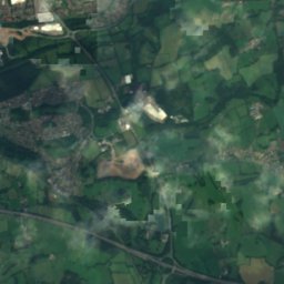
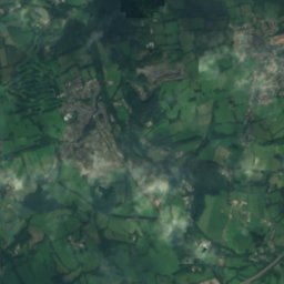
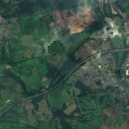
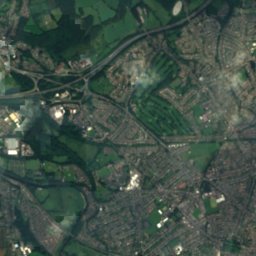
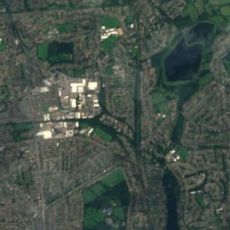
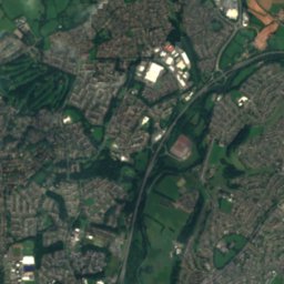
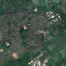
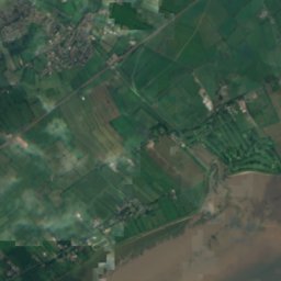
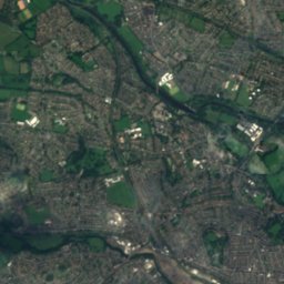
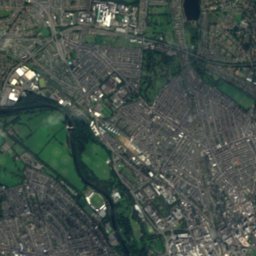
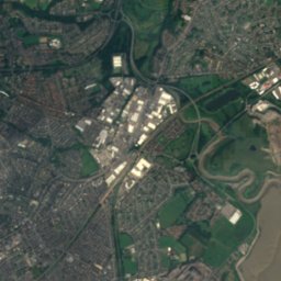
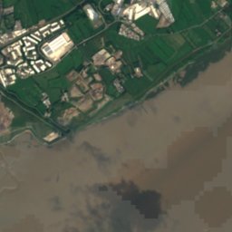

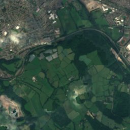
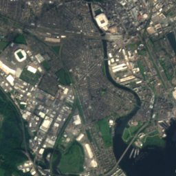
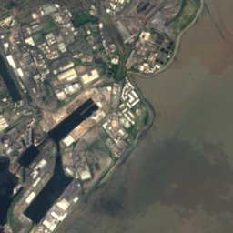


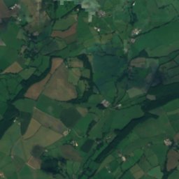
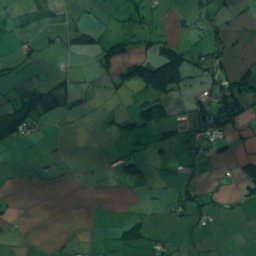
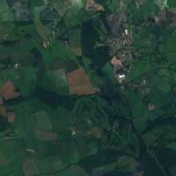
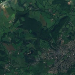
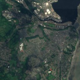



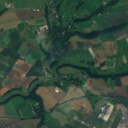
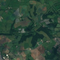
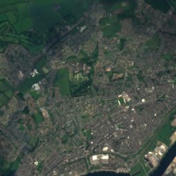
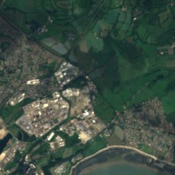
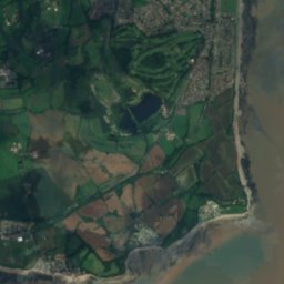



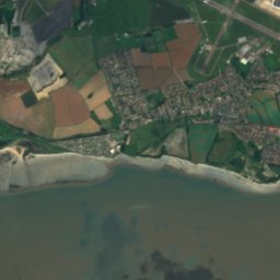


衛星: Sentinel-2 cloudless 2016(EOX IT Services GmbH) · CC BY 4.0 · 改変したCopernicus Sentinelデータ(2016年)を含みます
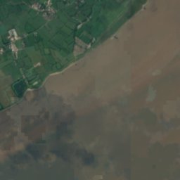
 Roath Basin
 Cosmeston Lakes (East)
川ペンアルス, ウェールズ
River Ely
川ベスト 6月–7月 · 9月
標高–海抜
面積0.7 km²総面積
最寄りの地点ペンアルス1.4 km
北緯51.45°、西経3.17°UTC+1 · 英国夏時間
旅行時期ペンアルス · 天気スコア
ベストシーズン6月–7月 · 9月
10月:最高 / 最低15° / 8°
川
River Ely 概要
River Elyはイギリス(ウェールズ)にある川です。
面積約0.7 km²です。
アトラスで最も近い地点は、南に1.4 km離れたペンアルスです。そこで天気が最も快適なのは6月、7月、9月です。
周辺の現在の天気
ペンアルスの天気予報11°
現在の天気:雨
今日
10月22日
15°
8°
9 mm
金
10月23日
14°
7°
11 mm
土
10月24日
17°
7°
44 mm
日
10月25日
14°
10°
月
10月26日
17°
9°
12 mm
モデル計算時刻 00:00 UTC1 日に数回更新
川の流路
OpenStreetMap の地図データに基づき、流域にある Places of Earth 掲載の町も示しています。- 1Beddau116 m
- 2ラントリサント101 m
- 3Talbot Green64 m
- 4ランハリー90 m
- 5ポンティクラン49 m
- 6Miskin45 m
- 7Creigiau70 m
- 8Pendoylan48 m
- 9Bonvilston100 m
- 10Peterston-super-Ely34 m
- 11Saint Nicholas115 m
- 12Saint Fagans29 m
源流河口(または地図上の流路が国外へ出る地点)
いつ行くか
ペンアルスの気候River Ely:ベストシーズン
ペンアルスの月別評価
快適さ、雨の降らない日数、日照 · 100 点満点16
1月
20
2月
24
3月
47
4月
59
5月
64
6月
64
7月
63
8月
66
9月
45
10月
25
11月
16
12月
地図
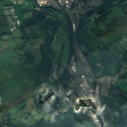
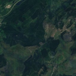
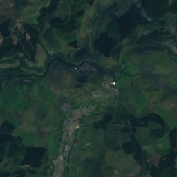
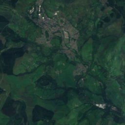
River Ely 上空から
周辺の自然全国


衛星: Sentinel-2 cloudless 2016(EOX IT Services GmbH) · CC BY 4.0 · 改変したCopernicus Sentinelデータ(2016年)を含みます
衛星: Sentinel-2 cloudless 2016(EOX IT Services GmbH) · CC BY 4.0 · 改変したCopernicus Sentinelデータ(2016年)を含みます
衛星: Sentinel-2 cloudless 2016(EOX IT Services GmbH) · CC BY 4.0 · 改変したCopernicus Sentinelデータ(2016年)を含みます
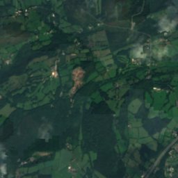
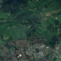
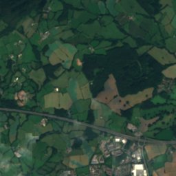
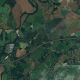
衛星: Sentinel-2 cloudless 2016(EOX IT Services GmbH) · CC BY 4.0 · 改変したCopernicus Sentinelデータ(2016年)を含みます
周辺の山頂イギリスの山
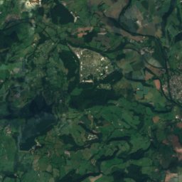
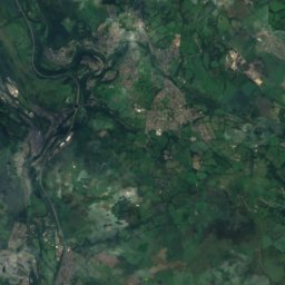
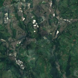
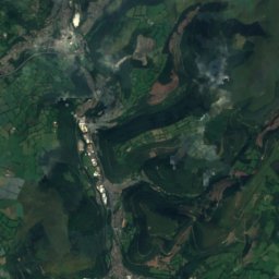
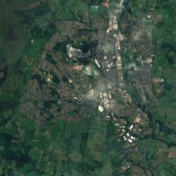
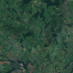
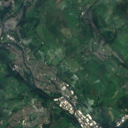
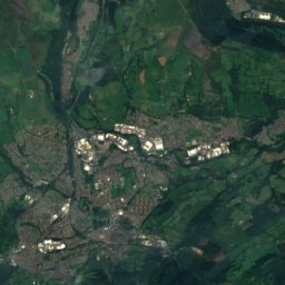
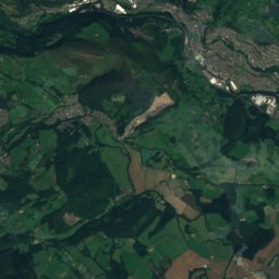
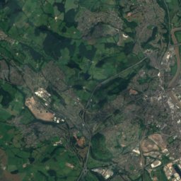
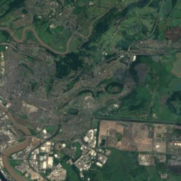
衛星: Sentinel-2 cloudless 2016(EOX IT Services GmbH) · CC BY 4.0 · 改変したCopernicus Sentinelデータ(2016年)を含みます
衛星: Sentinel-2 cloudless 2016(EOX IT Services GmbH) · CC BY 4.0 · 改変したCopernicus Sentinelデータ(2016年)を含みます
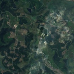
衛星: Sentinel-2 cloudless 2016(EOX IT Services GmbH) · CC BY 4.0 · 改変したCopernicus Sentinelデータ(2016年)を含みます
衛星: Sentinel-2 cloudless 2016(EOX IT Services GmbH) · CC BY 4.0 · 改変したCopernicus Sentinelデータ(2016年)を含みます
衛星: Sentinel-2 cloudless 2016(EOX IT Services GmbH) · CC BY 4.0 · 改変したCopernicus Sentinelデータ(2016年)を含みます
衛星: Sentinel-2 cloudless 2016(EOX IT Services GmbH) · CC BY 4.0 · 改変したCopernicus Sentinelデータ(2016年)を含みます
近くに泊まる
すぐ近くの地点


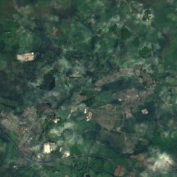
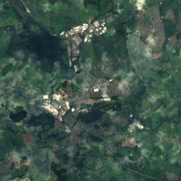
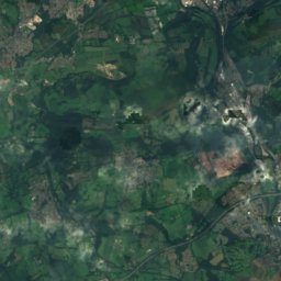
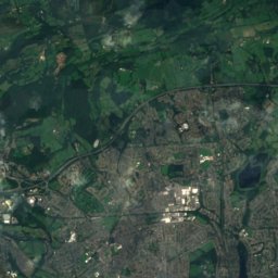
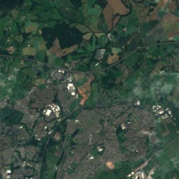
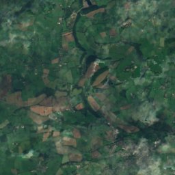
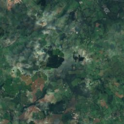
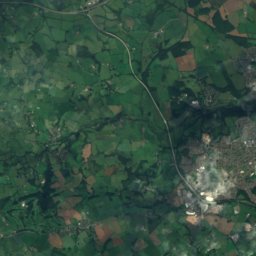
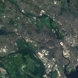
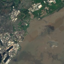
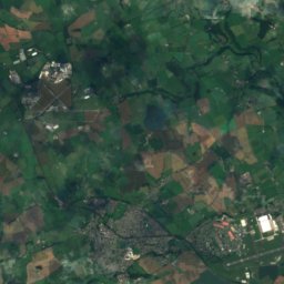
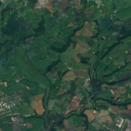
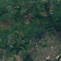
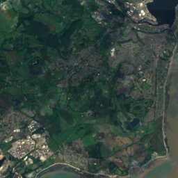
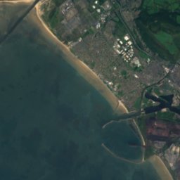
衛星: Sentinel-2 cloudless 2016(EOX IT Services GmbH) · CC BY 4.0 · 改変したCopernicus Sentinelデータ(2016年)を含みます
ダイナズ・ポウィ―ズ
ウェールズ · 3.7 km 南西
15°10月の最高
17雨の日
45スコア

周辺
ペンアルスとその周辺
自然


山
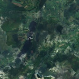
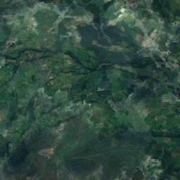
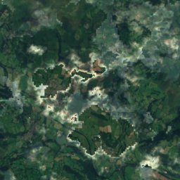
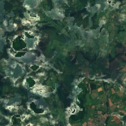
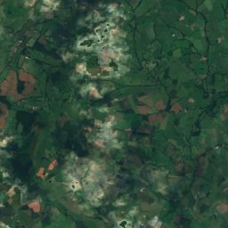
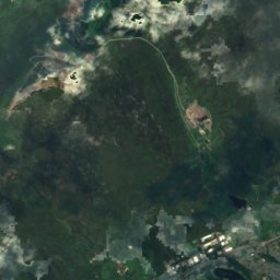
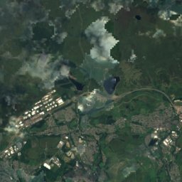
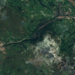
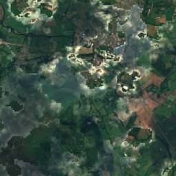
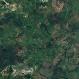
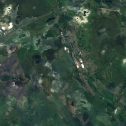
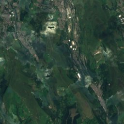
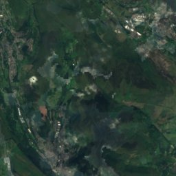
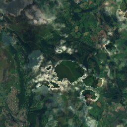
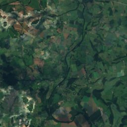
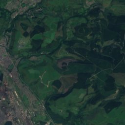
衛星: Sentinel-2 cloudless 2016(EOX IT Services GmbH) · CC BY 4.0 · 改変したCopernicus Sentinelデータ(2016年)を含みます
Coity Mountain
578 m · ブレコン・ビーコンズ山地
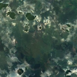
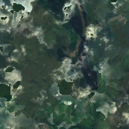
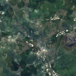
衛星: Sentinel-2 cloudless 2016(EOX IT Services GmbH) · CC BY 4.0 · 改変したCopernicus Sentinelデータ(2016年)を含みます
Cefn Coch, Blaina
571 m
遺産





衛星: Sentinel-2 cloudless 2016(EOX IT Services GmbH) · CC BY 4.0 · 改変したCopernicus Sentinelデータ(2016年)を含みます
Penarth railway station
博物館・美術館



衛星: Sentinel-2 cloudless 2016(EOX IT Services GmbH) · CC BY 4.0 · 改変したCopernicus Sentinelデータ(2016年)を含みます
Cosmeston Medieval Village
衛星: Sentinel-2 cloudless 2016(EOX IT Services GmbH) · CC BY 4.0 · 改変したCopernicus Sentinelデータ(2016年)を含みます
Turner House Gallery
1888