本文へスキップ
旅先
天気と気候
自然
アウトドア
文化
イベント
空とライブ
Minsmere River
写真: Glen Denny · CC BY-SA 2.0 · Wikimedia Commons
Minsmere Riverこの写真を報告 · リンクのみ、保存なし
River Yox
写真: Adrian Cable · CC BY-SA 2.0 · Wikimedia Commons
River Yoxこの写真を報告 · リンクのみ、保存なし
River Yox
川Theberton, イングランド

Minsmere River

川ベスト 6月–7月 · 9月
標高–海抜
面積–総面積
最寄りの地点Theberton3.4 km
北緯52.23°、東経1.62°UTC+0 · グリニッジ標準時
旅行時期Theberton · 天気スコア
1月2月3月4月5月6月7月8月9月10月11月12月4410月
ベストシーズン6月–7月 · 9月
10月:最高 / 最低15° / 9°
川

Minsmere River 概要

Minsmere Riverはイギリス(イングランド)にある川です。

最も近い地点は、西に3.4 km離れたThebertonです。そこで天気が最も快適なのは6月、7月、9月です。

Theberton:天気と気候ガイド

周辺の現在の天気

Thebertonの天気予報
13°
現在の天気:晴れ時々曇り
風13 km/h
湿度89%
雲量25%
今日
10月30日
15°
10°
土
10月31日
14°
8°
日
11月1日
12°
4°
月
11月2日
12°
9°
1 mm
火
11月3日
13°
9°

モデル計算時刻 12:00 UTC1 日に数回更新

いつ行くか

Minsmere River:ベストシーズン

Thebertonの気候

Thebertonの月別評価

快適さ、雨の降らない日数、日照 · 100 点満点
17
1月
20
2月
24
3月
48
4月
60
5月
67
6月
65
7月
65
8月
67
9月
44
10月
21
11月
17
12月
地図

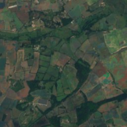
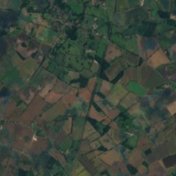
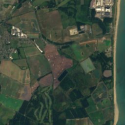
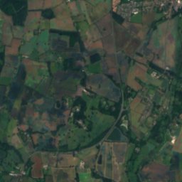
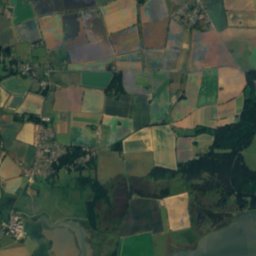
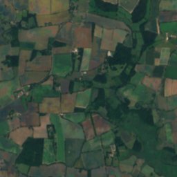
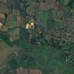
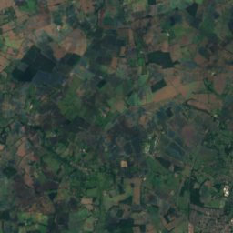
Minsmere River 上空から

周辺の自然全国
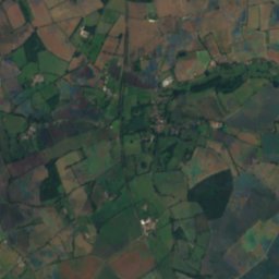
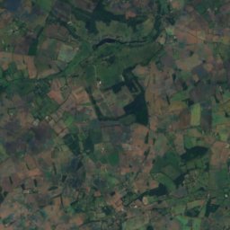
衛星: Sentinel-2 cloudless 2016(EOX IT Services GmbH) · CC BY 4.0 · 改変したCopernicus Sentinelデータ(2016年)を含みます
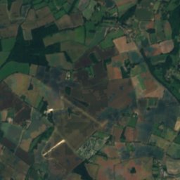
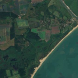
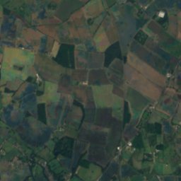
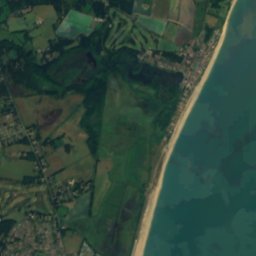
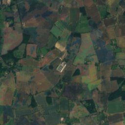
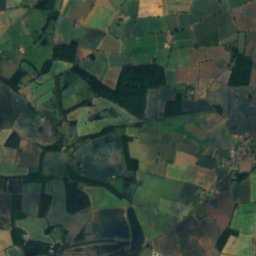
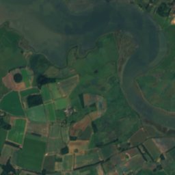
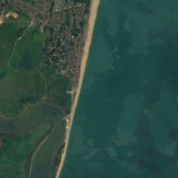
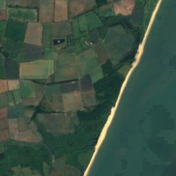
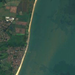
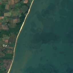
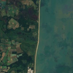
Dunwich Beachビーチ2.7 km北Dunwich Beach
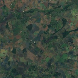
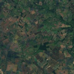
衛星: Sentinel-2 cloudless 2016(EOX IT Services GmbH) · CC BY 4.0 · 改変したCopernicus Sentinelデータ(2016年)を含みます
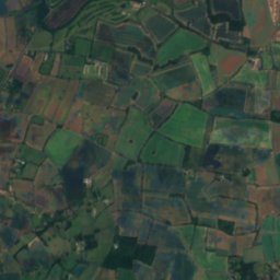
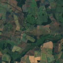
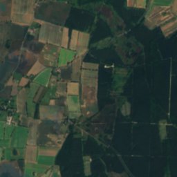
Sizewell Bank島5.0 km南東Sizewell Bank
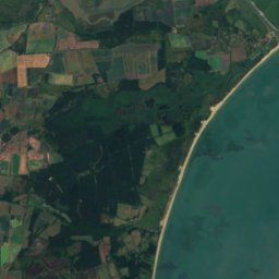
衛星: Sentinel-2 cloudless 2016(EOX IT Services GmbH) · CC BY 4.0 · 改変したCopernicus Sentinelデータ(2016年)を含みます
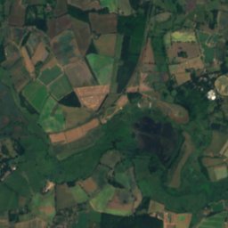
Dunwich Bank島5.9 km北東Dunwich Bank
写真: Adrian Cable · CC BY-SA 2.0 · Wikimedia Commonsこの写真を報告 · リンクのみ、保存なし
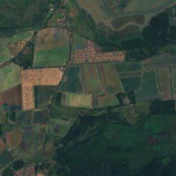
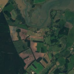
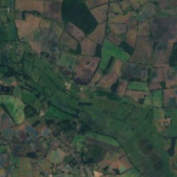
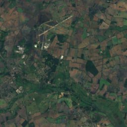
River Yox川7.4 km北西River Yox
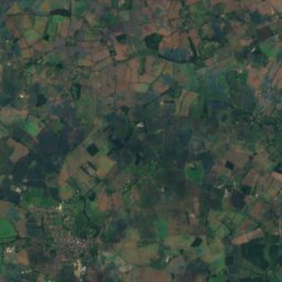
衛星: Sentinel-2 cloudless 2016(EOX IT Services GmbH) · CC BY 4.0 · 改変したCopernicus Sentinelデータ(2016年)を含みます
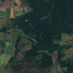
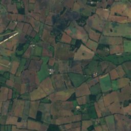
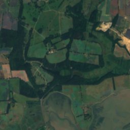
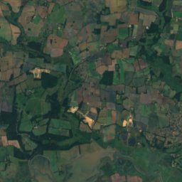
オールド川川9.7 km南西オールド川
衛星: Sentinel-2 cloudless 2016(EOX IT Services GmbH) · CC BY 4.0 · 改変したCopernicus Sentinelデータ(2016年)を含みます
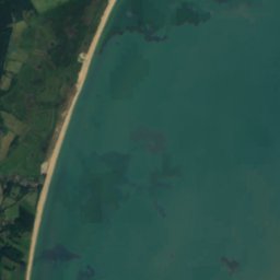
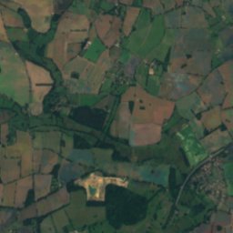
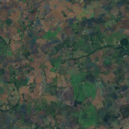
ブライス川川9.8 km北東ブライス川
近くに泊まる

すぐ近くの地点

Theberton
写真: Adrian Cable · CC BY-SA 2.0 · Wikimedia Commonsこの写真を報告 · リンクのみ、保存なし

Theberton

イングランド · 3.4 km 西
15°10月の最高
17雨の日
44スコア
Theberton
レイストン
写真: Roba72 at English Wikipedia · Public domain · Wikimedia Commonsこの写真を報告 · リンクのみ、保存なし

レイストン

イングランド · 4.0 km 南西
15°10月の最高
17雨の日
44スコア
レイストン
Westleton
写真: Dudley Miles · CC BY-SA 4.0 · Wikimedia Commonsこの写真を報告 · リンクのみ、保存なし

Westleton

イングランド · 4.5 km 北西
15°10月の最高
17雨の日
44スコア
Westleton
衛星: Sentinel-2 cloudless 2016(EOX IT Services GmbH) · CC BY 4.0 · 改変したCopernicus Sentinelデータ(2016年)を含みます

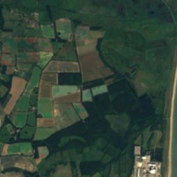
Middleton

イングランド · 4.6 km 北西
15°10月の最高
17雨の日
44スコア
Middleton
周辺

Thebertonとその周辺

Theberton
写真: Adrian Cable · CC BY-SA 2.0 · Wikimedia Commonsこの写真を報告 · リンクのみ、保存なし

Theberton

イングランド · イギリス
6月–7月 · 9月ベストシーズン
22°7月の最高気温
8 m標高
Theberton

自然

River Yox
写真: Adrian Cable · CC BY-SA 2.0 · Wikimedia Commonsこの写真を報告 · リンクのみ、保存なし
4.3 km 北西

River Yox

川
River Yox
衛星: Sentinel-2 cloudless 2016(EOX IT Services GmbH) · CC BY 4.0 · 改変したCopernicus Sentinelデータ(2016年)を含みます

8.8 km 南

オールド川

川
オールド川
衛星: Sentinel-2 cloudless 2016(EOX IT Services GmbH) · CC BY 4.0 · 改変したCopernicus Sentinelデータ(2016年)を含みます

11 km 北東

ブライス川

川
ブライス川

遺産

Leiston Abbey
写真: Dave Briggs · CC BY-SA 2.0 · Wikimedia Commonsこの写真を報告 · リンクのみ、保存なし
2.0 km 南

Leiston Abbey

1101
Leiston Abbey
衛星: Sentinel-2 cloudless 2016(EOX IT Services GmbH) · CC BY 4.0 · 改変したCopernicus Sentinelデータ(2016年)を含みます

0.1 km 東

Church of St Peter, Theberton

Church of St Peter, Theberton
Southwold lighthouse
写真: Ella Mullins · CC BY 2.0 · Wikimedia Commonsこの写真を報告 · リンクのみ、保存なし
13 km 北東

Southwold lighthouse

1887
Southwold lighthouse

博物館・美術館

Long Shop Museum
写真: The Long Shop Museum by Roger Jones · CC BY-SA 2.0 · Wikimedia Commonsこの写真を報告 · リンクのみ、保存なし
3.5 km 南

Long Shop Museum

1984
Long Shop Museum
Sailors' Reading Room
写真: Alexander Williams · CC BY-SA 4.0 · Wikimedia Commonsこの写真を報告 · リンクのみ、保存なし
12 km 北東

Sailors' Reading Room

Sailors' Reading Room
衛星: Sentinel-2 cloudless 2016(EOX IT Services GmbH) · CC BY 4.0 · 改変したCopernicus Sentinelデータ(2016年)を含みます
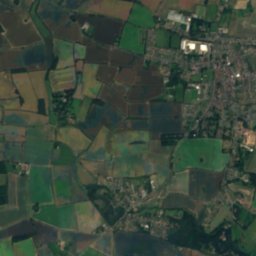
12 km 南西

Parham Airfield Museum

航空博物館 · 1981
Parham Airfield Museum