本文へスキップ
旅先
天気と気候
自然
アウトドア
文化
イベント
空とライブ
衛星: Sentinel-2 cloudless 2016(EOX IT Services GmbH) · CC BY 4.0 · 改変したCopernicus Sentinelデータ(2016年)を含みます
ウエーンサイド
写真: Cyberdemon007 · CC BY-SA 3.0 · Wikimedia Commons
ウエーンサイドこの写真を報告 · リンクのみ、保存なし
ウエーンサイド
Ingleborough
写真: Grzegorz Gniady · CC BY-SA 4.0 · Wikimedia Commons
Ingleboroughこの写真を報告 · リンクのみ、保存なし
Ingleborough
Great Shunner Fell
写真: Kreuzschnabel · CC BY-SA 3.0 · Wikimedia Commons
Great Shunner Fellこの写真を報告 · リンクのみ、保存なし
Great Shunner Fell
洞窟Ingleton, イングランド

Lower Sunset

洞窟ベスト 6月–8月
標高–海抜
洞内9°C通年
最寄りの地点Ingleton5.6 km
北緯54.18°、西経2.40°UTC+1 · 英国夏時間
旅行時期Ingleton · 天気スコア
1月2月3月4月5月6月7月8月9月10月11月12月2910月
ベストシーズン6月–8月
10月:最高 / 最低13° / 7°
洞窟

Lower Sunset 概要

Lower Sunsetはイギリス(イングランド)にある洞窟です。

アトラスで最も近い地点は、南西に5.6 km離れたIngletonです。そこで天気が最も快適なのは6月、7月、8月です。

洞窟の内部は一年を通じて外気の年平均気温に近く、約9°Cです。

Ingleton:天気と気候ガイド

周辺の現在の天気

Ingletonの天気予報
7°
現在の天気:曇り
風6 km/h
湿度92%
雲量98%
今日
10月22日
10°
4°
1 mm
金
10月23日
11°
4°
16 mm
土
10月24日
11°
4°
27 mm
日
10月25日
10°
7°
11 mm
月
10月26日
13°
7°
11 mm

モデル計算時刻 00:00 UTC1 日に数回更新

いつ行くか

Lower Sunset:ベストシーズン

Ingletonの気候

Ingletonの月別評価

快適さ、雨の降らない日数、日照 · 100 点満点
12
1月
13
2月
16
3月
31
4月
48
5月
58
6月
60
7月
60
8月
52
9月
29
10月
13
11月
13
12月
地図

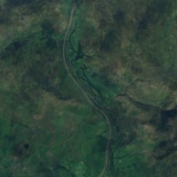
Lower Sunset 上空から

周辺の自然全国
衛星: Sentinel-2 cloudless 2016(EOX IT Services GmbH) · CC BY 4.0 · 改変したCopernicus Sentinelデータ(2016年)を含みます
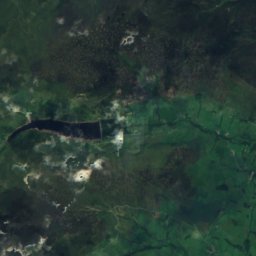
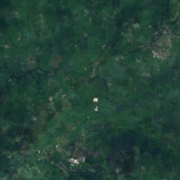
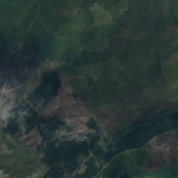
Roaring Hole洞窟0.2 km北Roaring Hole
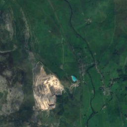
衛星: Sentinel-2 cloudless 2016(EOX IT Services GmbH) · CC BY 4.0 · 改変したCopernicus Sentinelデータ(2016年)を含みます
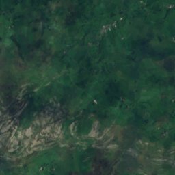
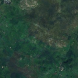
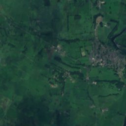
Knacker Trapper Hole洞窟0.3 km北東Knacker Trapper Hole
衛星: Sentinel-2 cloudless 2016(EOX IT Services GmbH) · CC BY 4.0 · 改変したCopernicus Sentinelデータ(2016年)を含みます
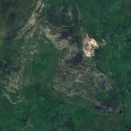
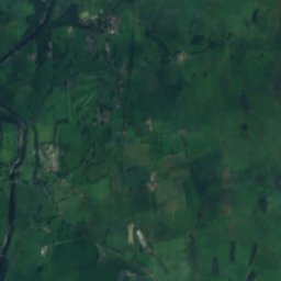
Sweetwater Hole洞窟0.4 km南西Sweetwater Hole
衛星: Sentinel-2 cloudless 2016(EOX IT Services GmbH) · CC BY 4.0 · 改変したCopernicus Sentinelデータ(2016年)を含みます
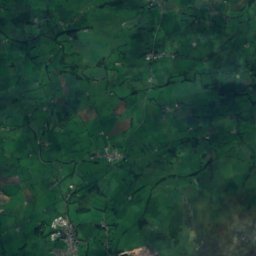
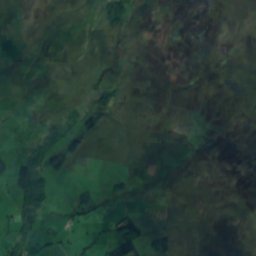
Meregill Hole洞窟0.5 km南西Meregill Hole
衛星: Sentinel-2 cloudless 2016(EOX IT Services GmbH) · CC BY 4.0 · 改変したCopernicus Sentinelデータ(2016年)を含みます
P101b洞窟0.7 km南西P101b
衛星: Sentinel-2 cloudless 2016(EOX IT Services GmbH) · CC BY 4.0 · 改変したCopernicus Sentinelデータ(2016年)を含みます
Hardrawkin Pot洞窟0.7 km北Hardrawkin Pot
周辺の山頂イギリスの山
写真: Cyberdemon007 · CC BY-SA 3.0 · Wikimedia Commonsこの写真を報告 · リンクのみ、保存なし
ウエーンサイド5.3 km 北736 m7月 16°ウエーンサイド
写真: Grzegorz Gniady · CC BY-SA 4.0 · Wikimedia Commonsこの写真を報告 · リンクのみ、保存なし
Ingleborough1.6 km 南723 m7月 16°Ingleborough
写真: Kreuzschnabel · CC BY-SA 3.0 · Wikimedia Commonsこの写真を報告 · リンクのみ、保存なし
Great Shunner Fell24 km 北東716 m7月 16°Great Shunner Fell
衛星: Sentinel-2 cloudless 2016(EOX IT Services GmbH) · CC BY 4.0 · 改変したCopernicus Sentinelデータ(2016年)を含みます
Wild Boar Fell23 km 北708 m7月 16°Wild Boar Fell
衛星: Sentinel-2 cloudless 2016(EOX IT Services GmbH) · CC BY 4.0 · 改変したCopernicus Sentinelデータ(2016年)を含みます
Buckden Pike22 km 東702 m7月 17°Buckden Pike
衛星: Sentinel-2 cloudless 2016(EOX IT Services GmbH) · CC BY 4.0 · 改変したCopernicus Sentinelデータ(2016年)を含みます
Gregory Chapel25 km 北695 m7月 16°Gregory Chapel
近くに泊まる

すぐ近くの地点

Ingleton
写真: Rosser1954 · CC BY-SA 4.0 · Wikimedia Commonsこの写真を報告 · リンクのみ、保存なし

Ingleton

イングランド · 5.6 km 南西
13°10月の最高
17雨の日
29スコア
Ingleton
衛星: Sentinel-2 cloudless 2016(EOX IT Services GmbH) · CC BY 4.0 · 改変したCopernicus Sentinelデータ(2016年)を含みます

Thornton in Lonsdale

イングランド · 6.3 km 南西
13°10月の最高
17雨の日
30スコア
Thornton in Lonsdale
ホートン・イン・リブルズデイル
写真: Michael Bryan · CC BY 2.0 · Wikimedia Commonsこの写真を報告 · リンクのみ、保存なし

ホートン・イン・リブルズデイル

イングランド · 7.1 km 南東
12°10月の最高
17雨の日
25スコア
ホートン・イン・リブルズデイル
Austwick
写真: Nilfanion · CC BY-SA 4.0 · Wikimedia Commonsこの写真を報告 · リンクのみ、保存なし

Austwick

イングランド · 8.1 km 南
13°10月の最高
17雨の日
28スコア
Austwick
周辺

Ingletonとその周辺

Ingleton
写真: Rosser1954 · CC BY-SA 4.0 · Wikimedia Commonsこの写真を報告 · リンクのみ、保存なし

Ingleton

イングランド · イギリス
6月–8月ベストシーズン
20°7月の最高気温
130 m標高
Ingleton

自然

Gaping Gill
写真: Mjobling at English Wikipedia · Public domain · Wikimedia Commonsこの写真を報告 · リンクのみ、保存なし
5.6 km 東

Gaping Gill

洞窟
Gaping Gill
Ingleborough Cave
写真: Langcliffe · CC BY 3.0 · Wikimedia Commonsこの写真を報告 · リンクのみ、保存なし
6.3 km 東

Ingleborough Cave

洞窟
Ingleborough Cave
Easegill System
写真: Goatchurch · Public domain · Wikimedia Commonsこの写真を報告 · リンクのみ、保存なし
8.1 km 北西

Easegill System

洞窟
Easegill System

山

ウエーンサイド
写真: Cyberdemon007 · CC BY-SA 3.0 · Wikimedia Commonsこの写真を報告 · リンクのみ、保存なし
9.2 km 北東

ウエーンサイド

736 m · ペナイン山脈
ウエーンサイド
Ingleborough
写真: Grzegorz Gniady · CC BY-SA 4.0 · Wikimedia Commonsこの写真を報告 · リンクのみ、保存なし
4.8 km 東

Ingleborough

723 m · ペナイン山脈
Ingleborough
Great Shunner Fell
写真: Kreuzschnabel · CC BY-SA 3.0 · Wikimedia Commonsこの写真を報告 · リンクのみ、保存なし
28 km 北東

Great Shunner Fell

716 m · ペナイン山脈
Great Shunner Fell

遺産

衛星: Sentinel-2 cloudless 2016(EOX IT Services GmbH) · CC BY 4.0 · 改変したCopernicus Sentinelデータ(2016年)を含みます
1.0 km 北西

St Oswald's Church, Thornton in Lonsdale

1935
St Oswald's Church, Thornton in Lonsdale
Ingleton Viaduct
写真: Ingleton Viaduct by Peter Bond · CC BY-SA 2.0 · Wikimedia Commonsこの写真を報告 · リンクのみ、保存なし
0.2 km 南西

Ingleton Viaduct

Ingleton Viaduct
衛星: Sentinel-2 cloudless 2016(EOX IT Services GmbH) · CC BY 4.0 · 改変したCopernicus Sentinelデータ(2016年)を含みます
100 m未満 北

Church of St Mary the Virgin, Ingleton

Church of St Mary the Virgin, Ingleton

博物館・美術館

衛星: Sentinel-2 cloudless 2016(EOX IT Services GmbH) · CC BY 4.0 · 改変したCopernicus Sentinelデータ(2016年)を含みます
14 km 北

Dent Village Heritage Centre and Museum

2007
Dent Village Heritage Centre and Museum