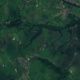
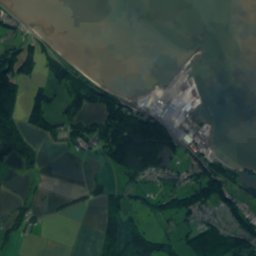
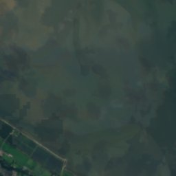

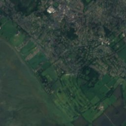
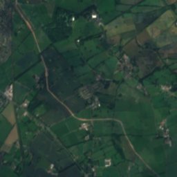
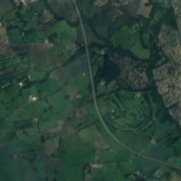
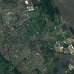
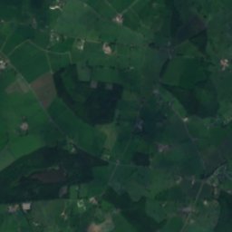
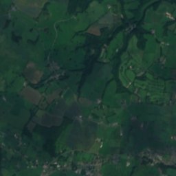
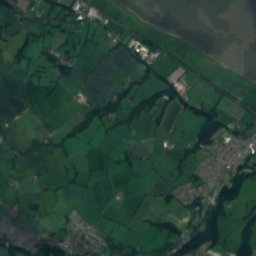
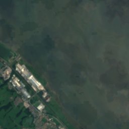

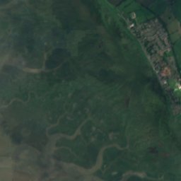
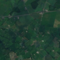
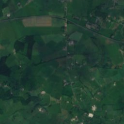
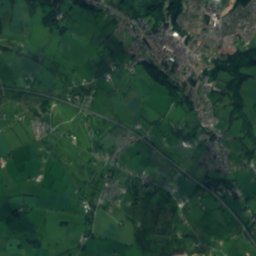
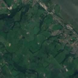
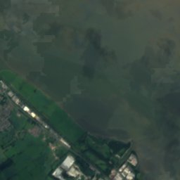
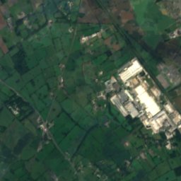
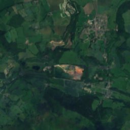
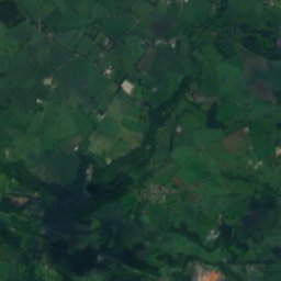
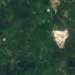
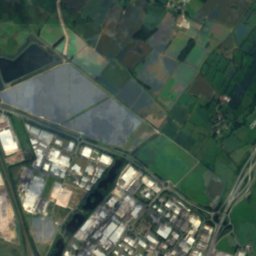
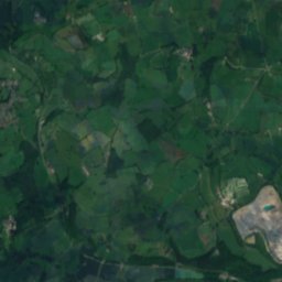
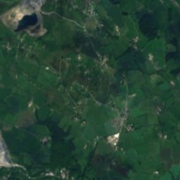
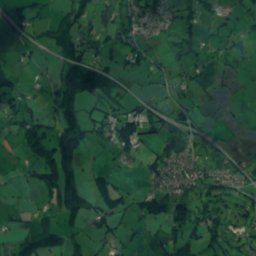
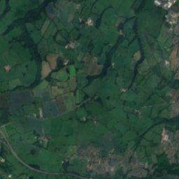
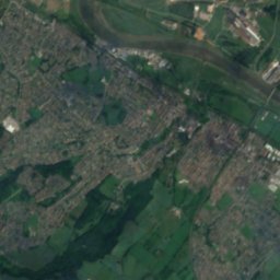
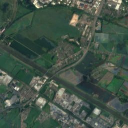
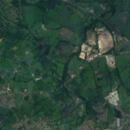
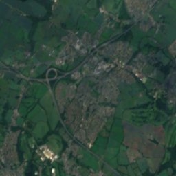
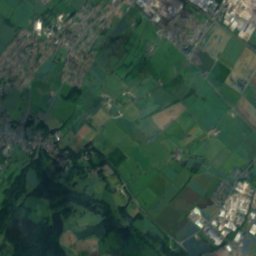
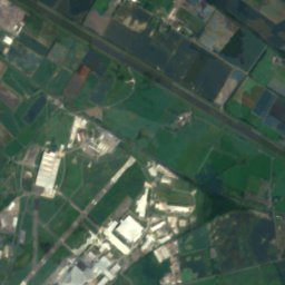
衛星: Sentinel-2 cloudless 2016(EOX IT Services GmbH) · CC BY 4.0 · 改変したCopernicus Sentinelデータ(2016年)を含みます
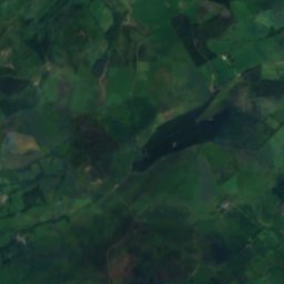
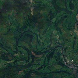
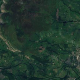
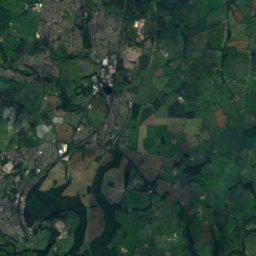
 Cyrn-y-Brain
 Moel Famau
 Moel y Faen
 Foel Fenlli
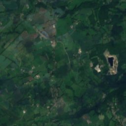
湖Oakenholt, ウェールズ
Leadbrook
湖標高35 mベスト 6月–8月
標高35 m海抜
面積0.0 km²総面積
最寄りの地点Oakenholt0.3 km
北緯53.23°、西経3.11°標高 35 mUTC+1 · 英国夏時間
旅行時期Oakenholt · 天気スコア
ベストシーズン6月–8月
10月:最高 / 最低15° / 8°
湖
Leadbrook 概要
Leadbrookはイギリス(ウェールズ)にある湖です。
標高35 m、面積約0.0 km²です。
アトラスで最も近い地点は、北に0.3 km離れたOakenholtです。そこで天気が最も快適なのは6月、7月、8月です。
周辺の現在の天気
Oakenholtの天気予報11°
現在の天気:雨
今日
10月23日
12°
8°
20 mm
土
10月24日
13°
7°
12 mm
日
10月25日
12°
9°
2 mm
月
10月26日
17°
6°
4 mm
火
10月27日
17°
9°
4 mm
モデル計算時刻 12:00 UTC1 日に数回更新
いつ行くか
Oakenholtの気候Leadbrook:ベストシーズン
Oakenholtの月別評価
快適さ、雨の降らない日数、日照 · 100 点満点17
1月
18
2月
22
3月
38
4月
55
5月
61
6月
62
7月
62
8月
61
9月
42
10月
21
11月
17
12月
地図
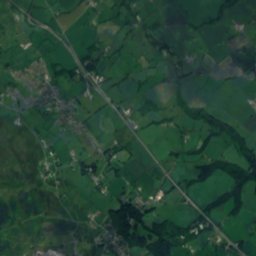
Leadbrook 上空から
周辺の自然全国
衛星: Sentinel-2 cloudless 2016(EOX IT Services GmbH) · CC BY 4.0 · 改変したCopernicus Sentinelデータ(2016年)を含みます
衛星: Sentinel-2 cloudless 2016(EOX IT Services GmbH) · CC BY 4.0 · 改変したCopernicus Sentinelデータ(2016年)を含みます
衛星: Sentinel-2 cloudless 2016(EOX IT Services GmbH) · CC BY 4.0 · 改変したCopernicus Sentinelデータ(2016年)を含みます
衛星: Sentinel-2 cloudless 2016(EOX IT Services GmbH) · CC BY 4.0 · 改変したCopernicus Sentinelデータ(2016年)を含みます
衛星: Sentinel-2 cloudless 2016(EOX IT Services GmbH) · CC BY 4.0 · 改変したCopernicus Sentinelデータ(2016年)を含みます
衛星: Sentinel-2 cloudless 2016(EOX IT Services GmbH) · CC BY 4.0 · 改変したCopernicus Sentinelデータ(2016年)を含みます
周辺の山頂イギリスの山


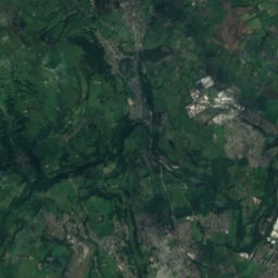
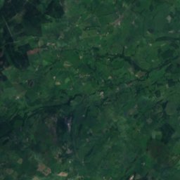
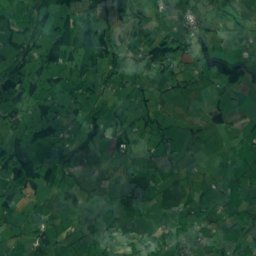
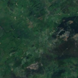
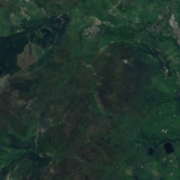
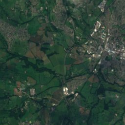
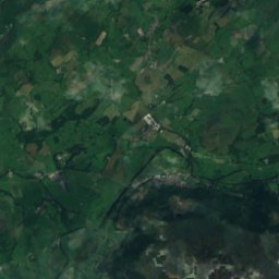
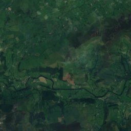
衛星: Sentinel-2 cloudless 2016(EOX IT Services GmbH) · CC BY 4.0 · 改変したCopernicus Sentinelデータ(2016年)を含みます

衛星: Sentinel-2 cloudless 2016(EOX IT Services GmbH) · CC BY 4.0 · 改変したCopernicus Sentinelデータ(2016年)を含みます
近くに泊まる
すぐ近くの地点
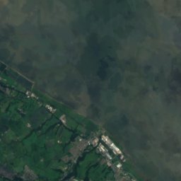
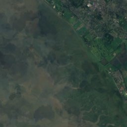
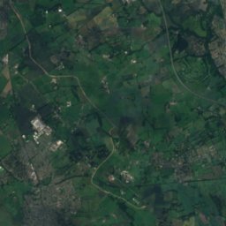
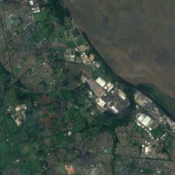
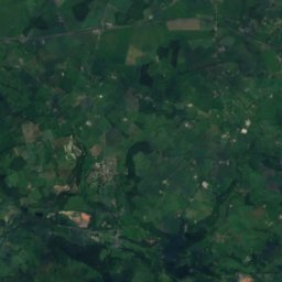
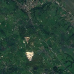
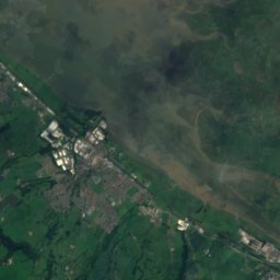
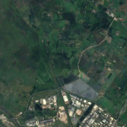
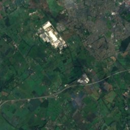
衛星: Sentinel-2 cloudless 2016(EOX IT Services GmbH) · CC BY 4.0 · 改変したCopernicus Sentinelデータ(2016年)を含みます
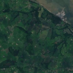
Oakenholt
ウェールズ · 0.3 km 北
15°10月の最高
18雨の日
42スコア

衛星: Sentinel-2 cloudless 2016(EOX IT Services GmbH) · CC BY 4.0 · 改変したCopernicus Sentinelデータ(2016年)を含みます
コノーズ・キー
ウェールズ · 3.0 km 南東
15°10月の最高
18雨の日
42スコア

周辺
Oakenholtとその周辺
自然
衛星: Sentinel-2 cloudless 2016(EOX IT Services GmbH) · CC BY 4.0 · 改変したCopernicus Sentinelデータ(2016年)を含みます
Ogof Nadolig
洞窟
衛星: Sentinel-2 cloudless 2016(EOX IT Services GmbH) · CC BY 4.0 · 改変したCopernicus Sentinelデータ(2016年)を含みます
Ogof Hesp Alyn
洞窟
衛星: Sentinel-2 cloudless 2016(EOX IT Services GmbH) · CC BY 4.0 · 改変したCopernicus Sentinelデータ(2016年)を含みます
Ogof Hen Ffynhonnau
洞窟
山
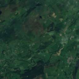
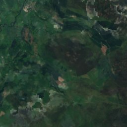
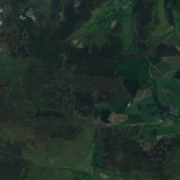
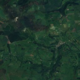
衛星: Sentinel-2 cloudless 2016(EOX IT Services GmbH) · CC BY 4.0 · 改変したCopernicus Sentinelデータ(2016年)を含みます
Moel Fferna
630 m · バーウィン山脈
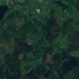
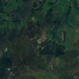
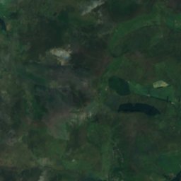
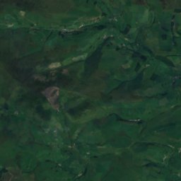
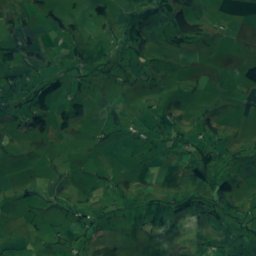
衛星: Sentinel-2 cloudless 2016(EOX IT Services GmbH) · CC BY 4.0 · 改変したCopernicus Sentinelデータ(2016年)を含みます
Pen Bwlch Llandrillo
621 m · バーウィン山脈
衛星: Sentinel-2 cloudless 2016(EOX IT Services GmbH) · CC BY 4.0 · 改変したCopernicus Sentinelデータ(2016年)を含みます
Cefn Perfedd [Pen y Lladron]
601 m · バーウィン山脈
遺産


博物館・美術館
衛星: Sentinel-2 cloudless 2016(EOX IT Services GmbH) · CC BY 4.0 · 改変したCopernicus Sentinelデータ(2016年)を含みます
Buckley Library, Museum and Gallery
美術館

衛星: Sentinel-2 cloudless 2016(EOX IT Services GmbH) · CC BY 4.0 · 改変したCopernicus Sentinelデータ(2016年)を含みます
Mold Library and Museum


衛星: Sentinel-2 cloudless 2016(EOX IT Services GmbH) · CC BY 4.0 · 改変したCopernicus Sentinelデータ(2016年)を含みます
Holywell Area Community Museum
郷土博物館