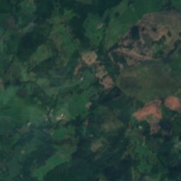
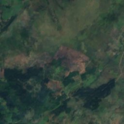
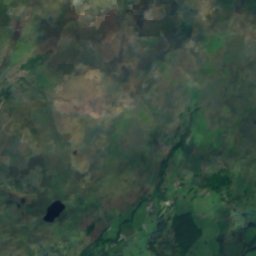
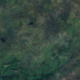
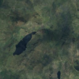

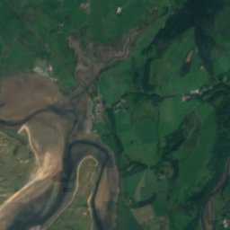
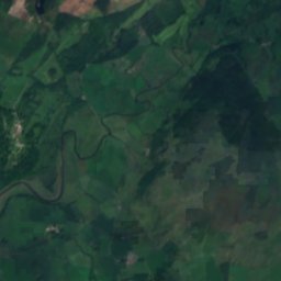
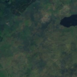
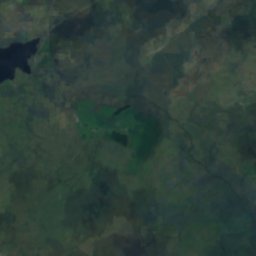

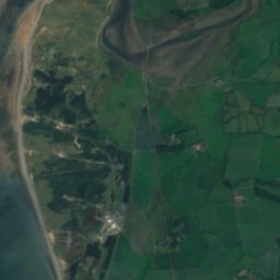


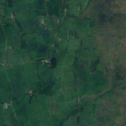
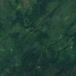
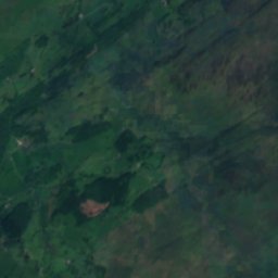
衛星: Sentinel-2 cloudless 2016(EOX IT Services GmbH) · CC BY 4.0 · 改変したCopernicus Sentinelデータ(2016年)を含みます
 スカーフェル・パイク
 Sca Fell
 Bowfell
 Great Gable
湖Eskdale, イングランド
Devoke Water
湖標高236 mベスト 6月–8月
標高236 m海抜
面積0.3 km²総面積
最寄りの地点Eskdale3.5 km
北緯54.36°、西経3.30°標高 236 mUTC+0 · グリニッジ標準時
旅行時期Eskdale · 天気スコア
ベストシーズン6月–8月
10月:最高 / 最低13° / 8°
湖
Devoke Water 概要
Devoke Waterはイギリス(イングランド)にある湖です。
標高236 m、面積約0.3 km²です。
最も近い地点は、北西に3.5 km離れたEskdaleです。そこで天気が最も快適なのは6月、7月、8月です。
周辺の現在の天気
Eskdaleの天気予報9°
現在の天気:雨
今日
10月28日
13°
8°
14 mm
木
10月29日
13°
9°
2 mm
金
10月30日
12°
9°
土
10月31日
13°
7°
日
11月1日
12°
5°
モデル計算時刻 12:00 UTC1 日に数回更新
湖の水
湖の面積、平均水深、貯水量、湖岸線の長さ。路面0.3 km²
平均水深5 m
貯水量1 百万 m³
湖岸線2.5 km
いつ行くか
Eskdaleの気候Devoke Water:ベストシーズン
Eskdaleの月別評価
快適さ、雨の降らない日数、日照 · 100 点満点16
1月
17
2月
17
3月
30
4月
49
5月
58
6月
62
7月
61
8月
54
9月
35
10月
16
11月
16
12月
地図
Devoke Water 上空から
周辺の自然全国
衛星: Sentinel-2 cloudless 2016(EOX IT Services GmbH) · CC BY 4.0 · 改変したCopernicus Sentinelデータ(2016年)を含みます
衛星: Sentinel-2 cloudless 2016(EOX IT Services GmbH) · CC BY 4.0 · 改変したCopernicus Sentinelデータ(2016年)を含みます
衛星: Sentinel-2 cloudless 2016(EOX IT Services GmbH) · CC BY 4.0 · 改変したCopernicus Sentinelデータ(2016年)を含みます
衛星: Sentinel-2 cloudless 2016(EOX IT Services GmbH) · CC BY 4.0 · 改変したCopernicus Sentinelデータ(2016年)を含みます
衛星: Sentinel-2 cloudless 2016(EOX IT Services GmbH) · CC BY 4.0 · 改変したCopernicus Sentinelデータ(2016年)を含みます
衛星: Sentinel-2 cloudless 2016(EOX IT Services GmbH) · CC BY 4.0 · 改変したCopernicus Sentinelデータ(2016年)を含みます
周辺の山頂イギリスの山


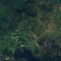
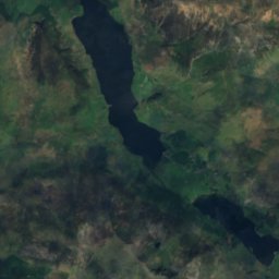
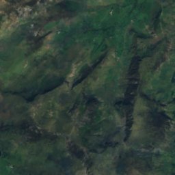
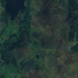
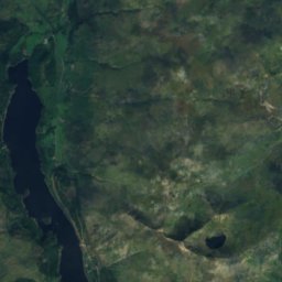
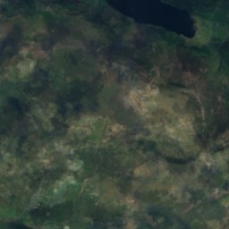
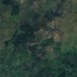
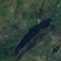
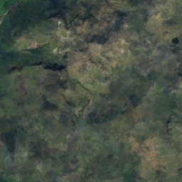
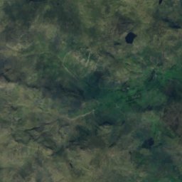
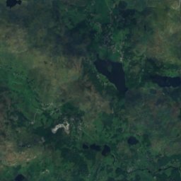
衛星: Sentinel-2 cloudless 2016(EOX IT Services GmbH) · CC BY 4.0 · 改変したCopernicus Sentinelデータ(2016年)を含みます
衛星: Sentinel-2 cloudless 2016(EOX IT Services GmbH) · CC BY 4.0 · 改変したCopernicus Sentinelデータ(2016年)を含みます


近くに泊まる
すぐ近くの地点

写真: The original uploader was Mick Knapton at English Wikipedia. · CC BY-SA 3.0 · Wikimedia Commonsこの写真を報告 · リンクのみ、保存なし
Eskdale
イングランド · 3.5 km 北西
13°10月の最高
20雨の日
35スコア


周辺
Eskdaleとその周辺
写真: The original uploader was Mick Knapton at English Wikipedia. · CC BY-SA 3.0 · Wikimedia Commonsこの写真を報告 · リンクのみ、保存なし
Eskdale
イングランド · イギリス
6月–8月ベストシーズン
19°7月の最高気温
40 m標高
自然

写真: The original uploader was Amatire at English Wikipedia. · Public domain · Wikimedia Commonsこの写真を報告 · リンクのみ、保存なし
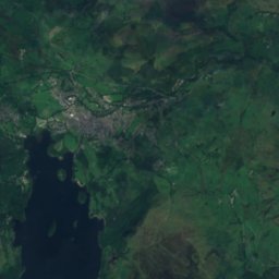
Wast Water
湖 · 61 m


山
遺産

衛星: Sentinel-2 cloudless 2016(EOX IT Services GmbH) · CC BY 4.0 · 改変したCopernicus Sentinelデータ(2016年)を含みます
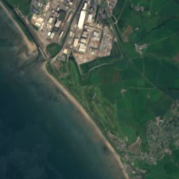
Milkingstead Wood
衛星: Sentinel-2 cloudless 2016(EOX IT Services GmbH) · CC BY 4.0 · 改変したCopernicus Sentinelデータ(2016年)を含みます
Beckfoot Quarry
博物館・美術館



衛星: Sentinel-2 cloudless 2016(EOX IT Services GmbH) · CC BY 4.0 · 改変したCopernicus Sentinelデータ(2016年)を含みます
レーブングラス・アンド・エスクデール鉄道
保存鉄道
衛星: Sentinel-2 cloudless 2016(EOX IT Services GmbH) · CC BY 4.0 · 改変したCopernicus Sentinelデータ(2016年)を含みます
Ravenglass Railway Museum
交通博物館