自然
ガイアナの水辺、氷河、原野
湖、滝、氷河、国立公園、山小屋。それぞれの場所、規模、周辺の天気を掲載。
湖12か所(個別ページあり)
滝31か所(個別ページあり)
島74か所(個別ページあり)
川16か所(個別ページあり)

湖
ガイアナの湖
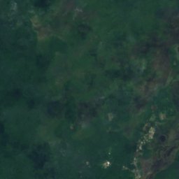
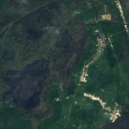
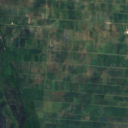
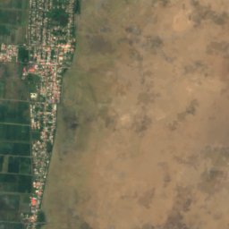
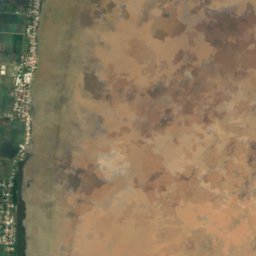
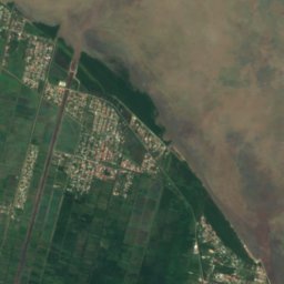
衛星: Sentinel-2 cloudless 2016(EOX IT Services GmbH) · CC BY 4.0 · 改変したCopernicus Sentinelデータ(2016年)を含みます
Mainstay Lake
アンナ・レジーナ, Pomeroon-Supenaam
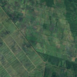
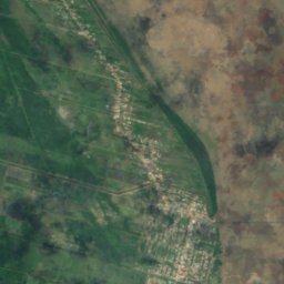
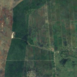
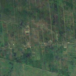
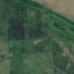
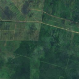
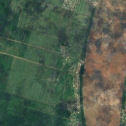
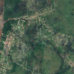
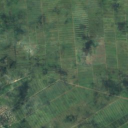
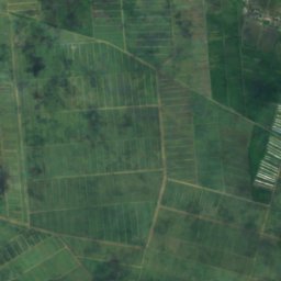
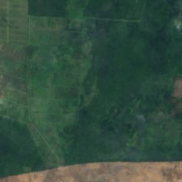
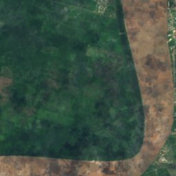
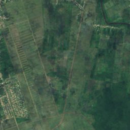
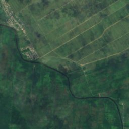
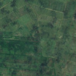
衛星: Sentinel-2 cloudless 2016(EOX IT Services GmbH) · CC BY 4.0 · 改変したCopernicus Sentinelデータ(2016年)を含みます
Adelphi Water Tank
ニューアムステルダム, East Berbice-Corentyne
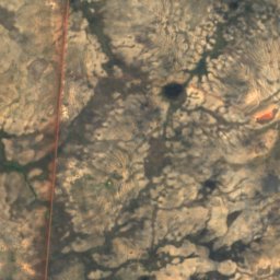
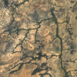
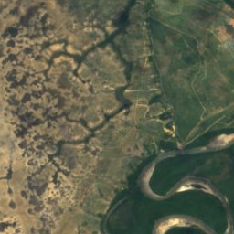
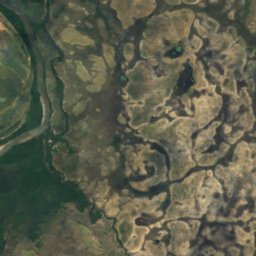
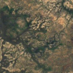
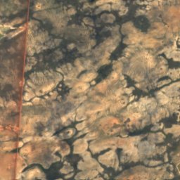
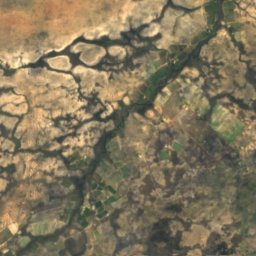
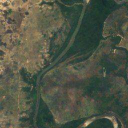
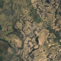
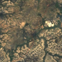
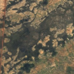
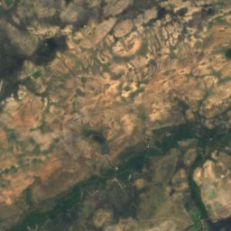
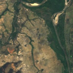
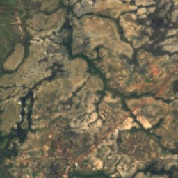
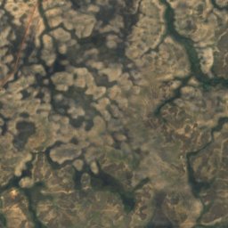
衛星: Sentinel-2 cloudless 2016(EOX IT Services GmbH) · CC BY 4.0 · 改変したCopernicus Sentinelデータ(2016年)を含みます
Arapari Lake
レセム, Upper Takutu-Upper Essequibo
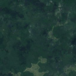
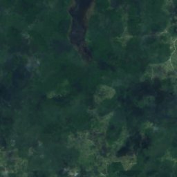
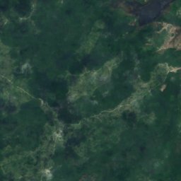
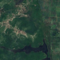
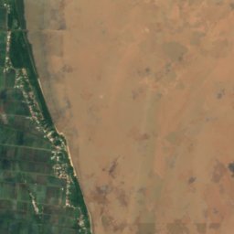
衛星: Sentinel-2 cloudless 2016(EOX IT Services GmbH) · CC BY 4.0 · 改変したCopernicus Sentinelデータ(2016年)を含みます
Calabash Lake
アンナ・レジーナ, Pomeroon-Supenaam
衛星: Sentinel-2 cloudless 2016(EOX IT Services GmbH) · CC BY 4.0 · 改変したCopernicus Sentinelデータ(2016年)を含みます
Capoey Lake
アンナ・レジーナ, Pomeroon-Supenaam
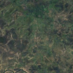
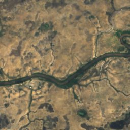
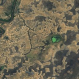
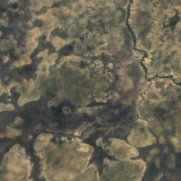
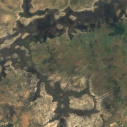
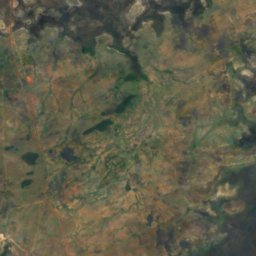
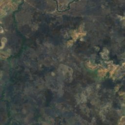
衛星: Sentinel-2 cloudless 2016(EOX IT Services GmbH) · CC BY 4.0 · 改変したCopernicus Sentinelデータ(2016年)を含みます
Cashew Lake
レセム, Upper Takutu-Upper Essequibo
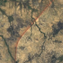
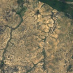
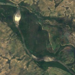
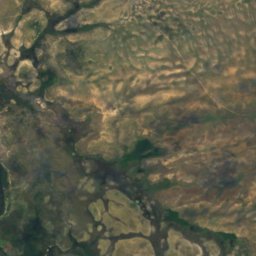
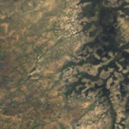
衛星: Sentinel-2 cloudless 2016(EOX IT Services GmbH) · CC BY 4.0 · 改変したCopernicus Sentinelデータ(2016年)を含みます
Cedral Lake
レセム, Upper Takutu-Upper Essequibo
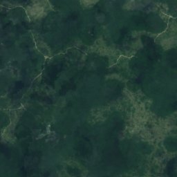
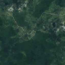
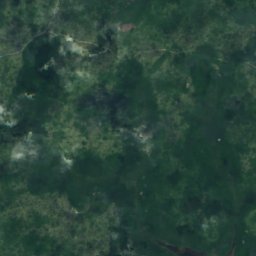
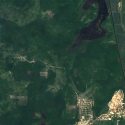
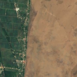
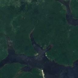
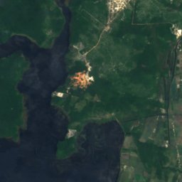
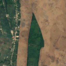
衛星: Sentinel-2 cloudless 2016(EOX IT Services GmbH) · CC BY 4.0 · 改変したCopernicus Sentinelデータ(2016年)を含みます
Ikuraka Lake
アンナ・レジーナ, Pomeroon-Supenaam
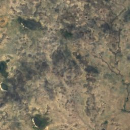
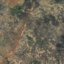
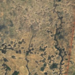
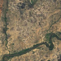
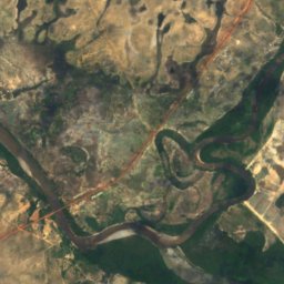
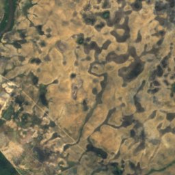
衛星: Sentinel-2 cloudless 2016(EOX IT Services GmbH) · CC BY 4.0 · 改変したCopernicus Sentinelデータ(2016年)を含みます
Lago de Capivara
レセム, Upper Takutu-Upper Essequibo
滝
ガイアナの滝

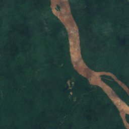

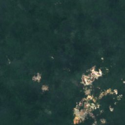

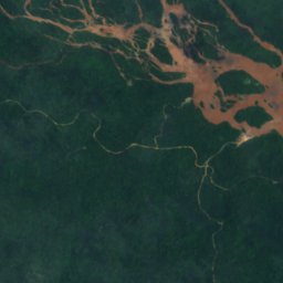
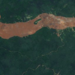
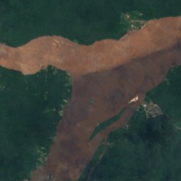
衛星: Sentinel-2 cloudless 2016(EOX IT Services GmbH) · CC BY 4.0 · 改変したCopernicus Sentinelデータ(2016年)を含みます
Akaio Fall
バルティカ, Cuyuni-Mazaruni
衛星: Sentinel-2 cloudless 2016(EOX IT Services GmbH) · CC BY 4.0 · 改変したCopernicus Sentinelデータ(2016年)を含みます
Akawaia Fall
バルティカ, Cuyuni-Mazaruni
衛星: Sentinel-2 cloudless 2016(EOX IT Services GmbH) · CC BY 4.0 · 改変したCopernicus Sentinelデータ(2016年)を含みます
Arakabusa Mama Fall
バルティカ, Cuyuni-Mazaruni
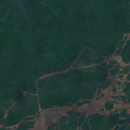
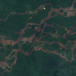
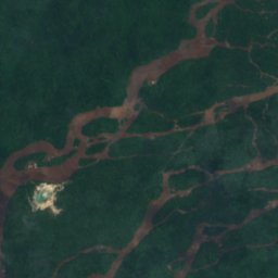
衛星: Sentinel-2 cloudless 2016(EOX IT Services GmbH) · CC BY 4.0 · 改変したCopernicus Sentinelデータ(2016年)を含みます
Arikara Falls
バルティカ, Cuyuni-Mazaruni
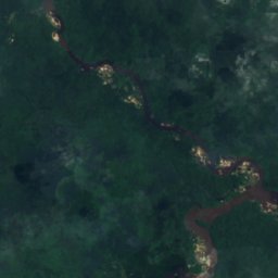
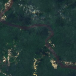
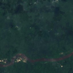
衛星: Sentinel-2 cloudless 2016(EOX IT Services GmbH) · CC BY 4.0 · 改変したCopernicus Sentinelデータ(2016年)を含みます
Aurituk Falls
マディア, Potaro-Siparuni
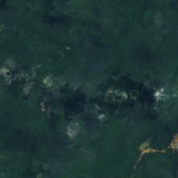
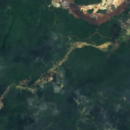
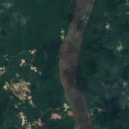
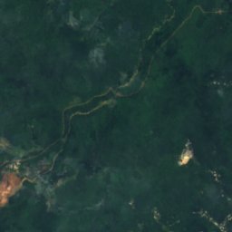
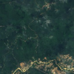
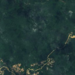
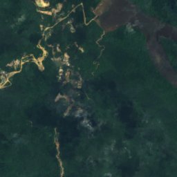
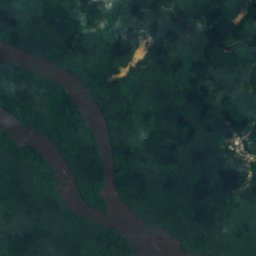
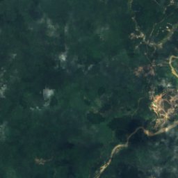
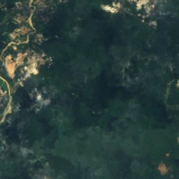
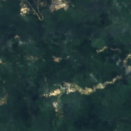
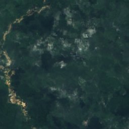
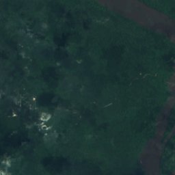
衛星: Sentinel-2 cloudless 2016(EOX IT Services GmbH) · CC BY 4.0 · 改変したCopernicus Sentinelデータ(2016年)を含みます
Blackwater Falls
マディア, Potaro-Siparuni
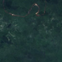
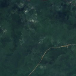
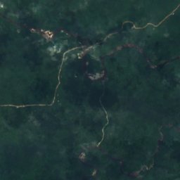
衛星: Sentinel-2 cloudless 2016(EOX IT Services GmbH) · CC BY 4.0 · 改変したCopernicus Sentinelデータ(2016年)を含みます
Echowra Fall
マディア, Potaro-Siparuni
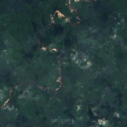
衛星: Sentinel-2 cloudless 2016(EOX IT Services GmbH) · CC BY 4.0 · 改変したCopernicus Sentinelデータ(2016年)を含みます
Embiparu Fall
マディア, Potaro-Siparuni
全リスト:滝31か所
- Akaio Fall
- Akawaia Fall
- Amatuk Fall
- Arakabusa Mama Fall
- Arikara Falls
- Aurituk Falls
- Blackwater Falls
- Echowra Fall
- Embiparu Fall
- Kamaria Fall
- Kartabak Falls
- Kobantuk Falls
- Konawak Falls
- Kongler Mama Fall
- Kumaka Serima Fall
- Kwapau Fall
- Lion Fall
- Little Kamaria Fall
- Mahdia Falls
- Mapituri Fall
- Maripa Falls
- Marshall Falls
- Matope Fall
- Mope Falls
- Okumai Falls
- Pakatuk Fall
- Portage Falls
- Stout Fall
- Tarpe Falls
- Tuwarong Fall
- Upper Mahdia Falls
島
ガイアナの島


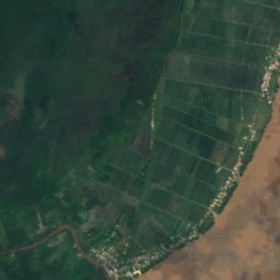
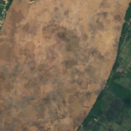
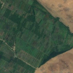
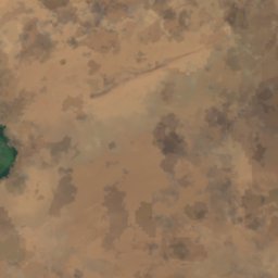
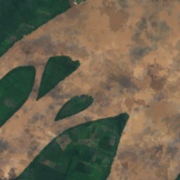
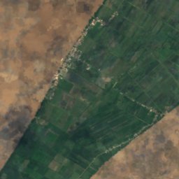
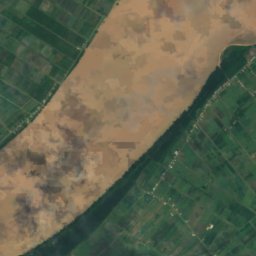
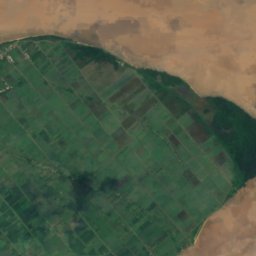
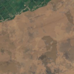
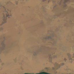
衛星: Sentinel-2 cloudless 2016(EOX IT Services GmbH) · CC BY 4.0 · 改変したCopernicus Sentinelデータ(2016年)を含みます
レグアン島
Parika, Essequibo Islands-West Demerara
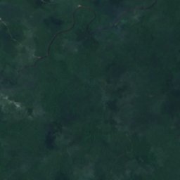
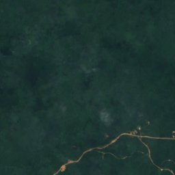
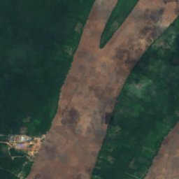
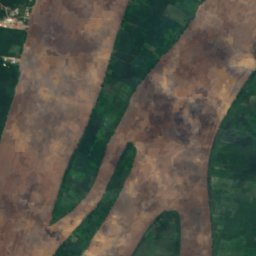
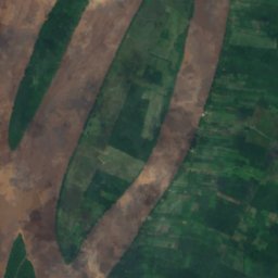
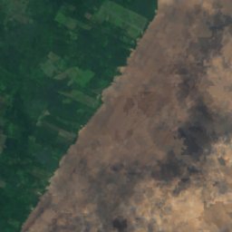
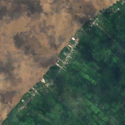
衛星: Sentinel-2 cloudless 2016(EOX IT Services GmbH) · CC BY 4.0 · 改変したCopernicus Sentinelデータ(2016年)を含みます
ホッグ島
Parika, Essequibo Islands-West Demerara
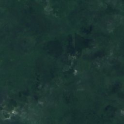
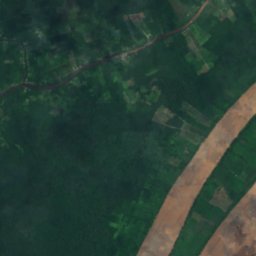
衛星: Sentinel-2 cloudless 2016(EOX IT Services GmbH) · CC BY 4.0 · 改変したCopernicus Sentinelデータ(2016年)を含みます
Great Troolie Island
Parika, Essequibo Islands-West Demerara
衛星: Sentinel-2 cloudless 2016(EOX IT Services GmbH) · CC BY 4.0 · 改変したCopernicus Sentinelデータ(2016年)を含みます
Liberty Island
Parika, Essequibo Islands-West Demerara
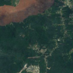
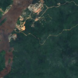
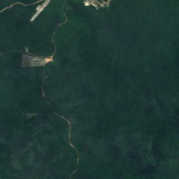
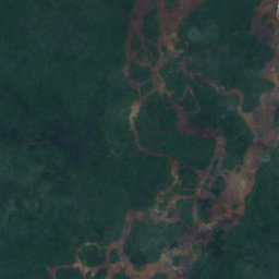
衛星: Sentinel-2 cloudless 2016(EOX IT Services GmbH) · CC BY 4.0 · 改変したCopernicus Sentinelデータ(2016年)を含みます
Karia Island
バルティカ, Cuyuni-Mazaruni
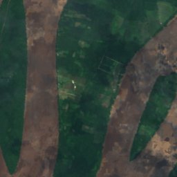
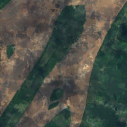
衛星: Sentinel-2 cloudless 2016(EOX IT Services GmbH) · CC BY 4.0 · 改変したCopernicus Sentinelデータ(2016年)を含みます
Akorikoria Island
Parika, Essequibo Islands-West Demerara
全リスト:島74か所
- Akorikoria Island
- Aliki Shoal
- Anderson Bank
- Arian Island
- Arimai Island
- Baganara Island
- Bartica Grove Bank
- Batavia Island
- Belfield Bank
- Belle Plaine Bank
- Bethany Spit
- Bluejacket Banks
- Boerasirie Bank
- Borslem Island
- Bunia Banabu Island
- Calf Island Shoals
- Chandler Flats
- Crab Island
- Dalli Island
- Dress Island
- Dukalabu Island
- Fairmaid Island
- Fort Island
- Great Troolie Island
- Haiari Island
- Hipaia Island
- Hoog en Droog Island
- Inver Island
- Ituri Benabu Island
- Jacob Shoal
- Jacobis Island
- Jockey Island
- Kabrito Island
- Kaow Island
- Karabaru Island
- Karia Island
- Kururitikuru Island
- Kykoveral Island
- Lady Island
- Lamun Island
- Lana Island
- Leguan Bank
- Liberty Island
- Little Batavia Island
- Little Dukalabu Island
- Little Troolie Island
- Long Mariwa Island
- Maam Island
- Makouria Island
- Makwakaru Island
- Mamarikuru Island
- Manakura Island
- Maraturia Island
- Markabu Island
- Meyuni Island
- Moneri Island
- Palmyra Bank
- Potaro Island
- Quarto Banabu Island
- South Lau Lau Island
- Stampa Island
- Stampa Island Shoals
- Statander Island
- Sting Ray Shoal
- Thompson Bank
- Timanda Bank
- Waipotosi Island
- Wakenaam Island
- Worm Bank
- Yamuru Island
- Yesi Island
- ホッグ島
- レグアン島
- ワケナーム島
川
ガイアナの川


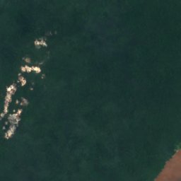
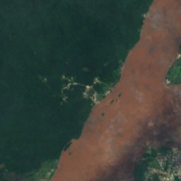
衛星: Sentinel-2 cloudless 2016(EOX IT Services GmbH) · CC BY 4.0 · 改変したCopernicus Sentinelデータ(2016年)を含みます
クユニ川
バルティカ, Cuyuni-Mazaruni
2 m


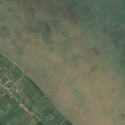
衛星: Sentinel-2 cloudless 2016(EOX IT Services GmbH) · CC BY 4.0 · 改変したCopernicus Sentinelデータ(2016年)を含みます
アバリー川
Mahaicony Village, Mahaica-Berbice
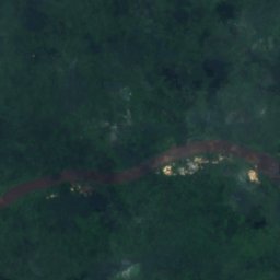
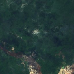
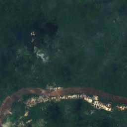
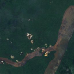
衛星: Sentinel-2 cloudless 2016(EOX IT Services GmbH) · CC BY 4.0 · 改変したCopernicus Sentinelデータ(2016年)を含みます
Konawaruk River
マディア, Potaro-Siparuni