自然
フィジーの水辺、氷河、原野
湖、滝、氷河、国立公園、山小屋。それぞれの場所、規模、周辺の天気を掲載。
滝14か所(個別ページあり)
国立公園1か所(個別ページあり)
ビーチ2か所(個別ページあり)
島337か所(個別ページあり)

滝
フィジーの滝
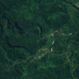
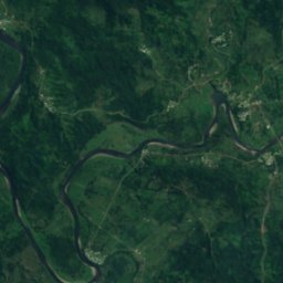
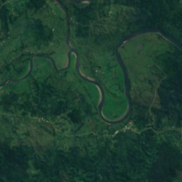
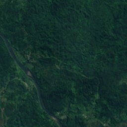
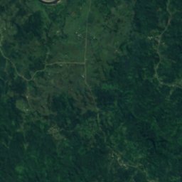
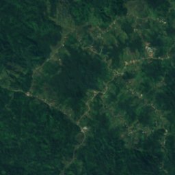
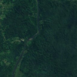
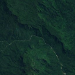
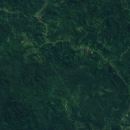
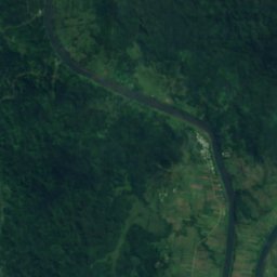
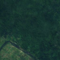
衛星: Sentinel-2 cloudless 2016(EOX IT Services GmbH) · CC BY 4.0 · 改変したCopernicus Sentinelデータ(2016年)を含みます
Ndravuni Falls
Nausori, Central
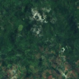
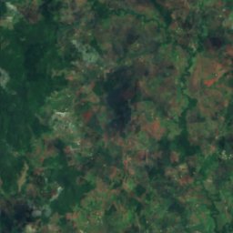
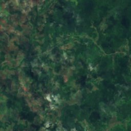
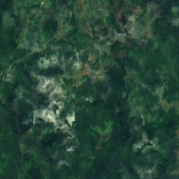
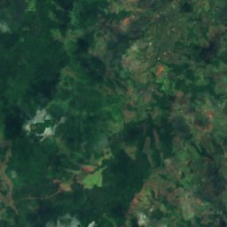
衛星: Sentinel-2 cloudless 2016(EOX IT Services GmbH) · CC BY 4.0 · 改変したCopernicus Sentinelデータ(2016年)を含みます
Nggaranitolo Falls
Labasa, Northern
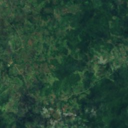
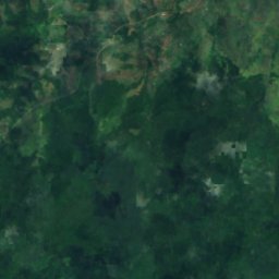
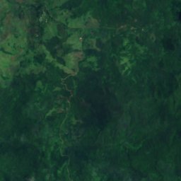
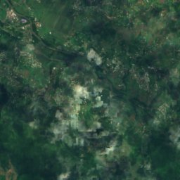
衛星: Sentinel-2 cloudless 2016(EOX IT Services GmbH) · CC BY 4.0 · 改変したCopernicus Sentinelデータ(2016年)を含みます
Savuime Falls
Labasa, Northern
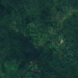
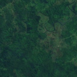
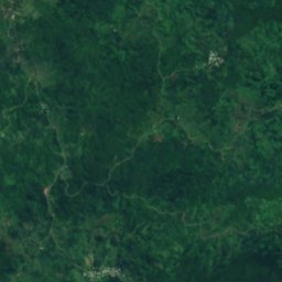
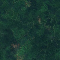
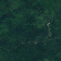
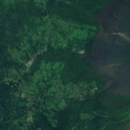
衛星: Sentinel-2 cloudless 2016(EOX IT Services GmbH) · CC BY 4.0 · 改変したCopernicus Sentinelデータ(2016年)を含みます
Waindenimbukowala Waterfall
Nausori, Central
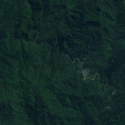
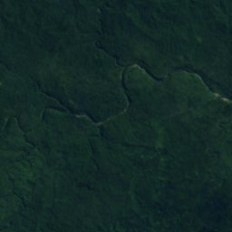
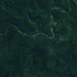
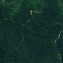
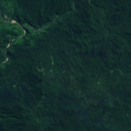
衛星: Sentinel-2 cloudless 2016(EOX IT Services GmbH) · CC BY 4.0 · 改変したCopernicus Sentinelデータ(2016年)を含みます
Wainikavou Fall
Navua, Central
衛星: Sentinel-2 cloudless 2016(EOX IT Services GmbH) · CC BY 4.0 · 改変したCopernicus Sentinelデータ(2016年)を含みます
Wainilaro Falls
Savusavu, Northern
衛星: Sentinel-2 cloudless 2016(EOX IT Services GmbH) · CC BY 4.0 · 改変したCopernicus Sentinelデータ(2016年)を含みます
Wainisalato Falls
Savusavu, Northern
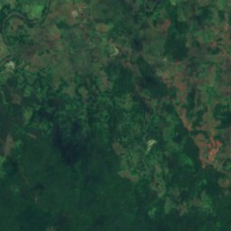
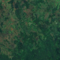
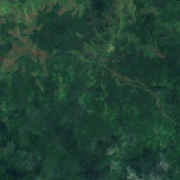
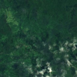
衛星: Sentinel-2 cloudless 2016(EOX IT Services GmbH) · CC BY 4.0 · 改変したCopernicus Sentinelデータ(2016年)を含みます
Waisavu Falls
Savusavu, Northern
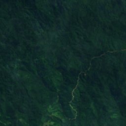
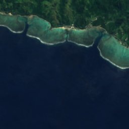
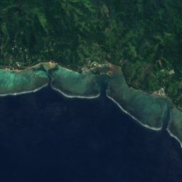
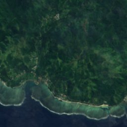
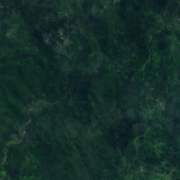
衛星: Sentinel-2 cloudless 2016(EOX IT Services GmbH) · CC BY 4.0 · 改変したCopernicus Sentinelデータ(2016年)を含みます
Biausevu Waterfall
Sigatoka, Western
国立公園
フィジーの国立公園

ビーチ
フィジーのビーチ

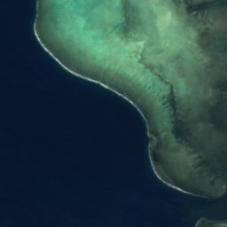
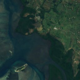
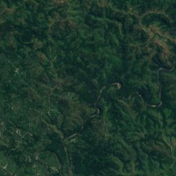

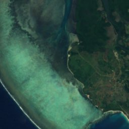
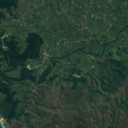
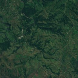


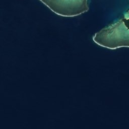
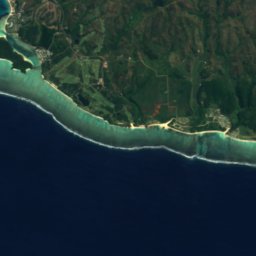
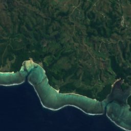
衛星: Sentinel-2 cloudless 2016(EOX IT Services GmbH) · CC BY 4.0 · 改変したCopernicus Sentinelデータ(2016年)を含みます
Natadola Beach
Sigatoka, Western
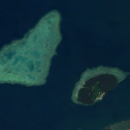
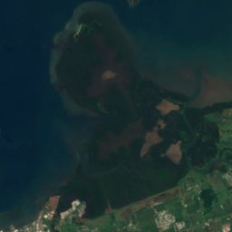

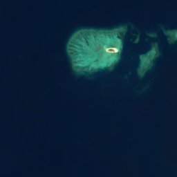
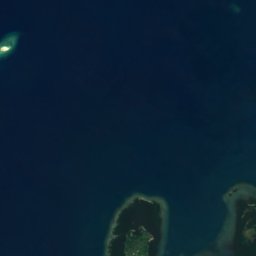
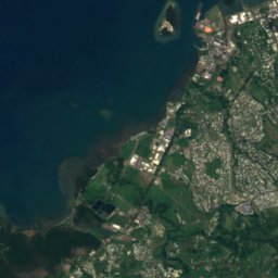
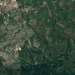
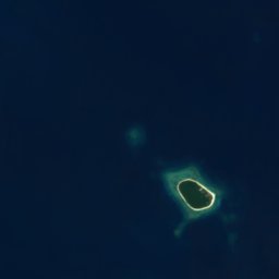

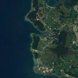
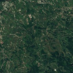
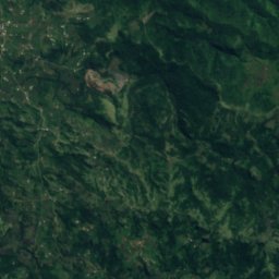
衛星: Sentinel-2 cloudless 2016(EOX IT Services GmbH) · CC BY 4.0 · 改変したCopernicus Sentinelデータ(2016年)を含みます
Saweni Beach
Lautoka, Western
島
フィジーの島


写真: Image courtesy of Earth Sciences and Image Analysis Laboratory, NASA Johnson Spa · Public domain · Wikimedia Commonsこの写真を報告 · リンクのみ、保存なし
バトア島
バトア島, Eastern


全リスト:島337か所
- Barrack Reef
- Beachcomber Island
- Bekana Island, Western
- Beqa Island
- Bird Island
- Biunadoa Reef
- Cakau Udu Levu Reef
- Cakaubasabasaga Reef
- Cakaudawai Reef
- Cakaulevu Reef
- Centre Reef
- Charybdis Reef
- Combe Reef
- Covuli Reef
- Dawson Reef
- Denarau
- Denarau Island
- Draunibota Island
- Eaton Reef
- Entrance Reef
- Galoa Island
- Ham Reef
- Hood Reef
- Hope Reef
- Johns Reef
- Joske Reef
- Kadavulailai
- Kamba Island
- Kambuna Island
- Kanamoiyanutha Island
- Kanavi Island
- Karoa Rock
- Kasaleka Reef
- Kateilewa Reef
- Katikua Island
- Kavote Island
- Kelly Reef
- Kenderuarua Island
- Koroimundu Island
- Koroingundro Island
- Koronindoli Island
- Koronisako Island
- Koronivonambuli Island
- Koroniyasaea Island
- Korotongo Reef
- Koroua Island
- Labiko Island
- Lake Reef
- Lasakaulanda Island
- Lauthala Island
- Lauthi Island
- Lawanggalevu Island
- Lewambulombulo Island
- Likuri Island
- Lotu Island
- Luvuka Island
- Mahaffy Reef
- Makuluva
- Makuluva Island
- Malake
- Malake Island
- Malamala Island
- Malan Cay
- Malavi Reef
- Malevu
- Malevu Island
- Mali Island
- Malolo
- Mambualau Islet
- Manava Island
- Manukumo Island
- Matanuku Island
- Matava Island
- Mathuata Island
- Mbakambaka Island
- Mbala Island
- Mbelo Island
- Menanga Island
- Middle Reef
- Mill Rock Island
- Millar Reef
- Mothiu Island
- Moturiki Island
- Motuwa Island
- Nabama Island
- Naikondro Island
- Nailusi Island
- Nairoi Island
- Naisali Island
- Naitata Flats
- Naithavuni Island
- Naitilo Island
- Naitukuwalu Island
- Naivaka Island
- Naivakathau Island
- Nakalavovula Island
- Nakandraniu Island
- Nakilivou Island
- Nakilo Island
- Nakoroluvaluva Island
- Nakorovou Island
- Nakumbu
- Nakuwakaya Island
- Namaka Island
- Namalata Reefs
- Nambale Island
- Nambalelailai Island
- Nambalelevu Island
- Nambaringgi Island
- Nambouono Island
- Nambua Island
- Nambuna Island
- Nambuthomumu Island
- Namelomelo Island
- Namotu
- Namuka
- Namuka Island
- Namuka Reef
- Namundua Island
- Nananu-i-Cake
- Nananu-i-Ra
- Nanduri Island
- Nangano Island
- Nanggiroso Island
- Nanitove Island
- Nanuku Island
- Nanuku Reefs
- Nanuya Lailai
- Nanuyakoto Island
- Naosolo Island
- Naqara Island
- Naraiwangga Island
- Narewa Island
- Naringgi Island
- Narongai Island
- Narongailailai Island
- Naseru Island
- Nasevalailai Island
- Nasevalevu Island
- Nasilai Island
- Nasilai Reef
- Nasinu Island
- Nasoata Island
- Nasoumivei Island
- Nasoviyanga Island
- Nauaveimbiliyaki Island
- Navakasorosoro Island
- Navakathoko Island
- Navatulailai Island
- Navatundamu Island
- Navau Island
- Navesi Island
- Navini Island
- Navo Island
- Navuavua Island
- Navula Reef
- Navutu Island
- Nawanggarua Island
- Nawanuwanu Island
- Nawathi Island
- Nawi Island
- Nayalarua Island
- Ndalinga Island
- Ndaloma Island
- Ndama Island
- Ndelatavea Island
- Ndeumba Island
- Ndevoilau Island
- Ndongondongo Island
- Ndongosalove Island
- Ndrakale Island
- Ndrala Island
- Ndrauniwalai Island
- Ndrendre Island
- Ndretiyambia Island
- Nggalau Island
- Nggarandua Island
- Nggaranimbakera Island
- Nggeleni Island
- Nggonggo Island
- Nggovunggovusila Island
- Nisusu Island
- Niuvanggau Island
- Nosi Island
- Nukuivovo Island
- Nukulau
- Nukuloa Island
- Nukumarorika Island
- Nukumasevu Island
- Nukumbutho Island
- Nukumoromoro Island
- Nukundrau Island
- Nukunimanu
- Nukunuku Island
- Nukutumbu Island
- Nukuvutivuti Island
- Nukuwasiga Reef
- Numbunivai Island
- Olatha
- Ondro Island
- Pearl Reef
- Peile Reef
- Pinder Reefs
- Point Reef
- Pratt Reefs
- Rankine Reef
- Rava
- Rewalau Island
- Robinson Crusoe Island
- Rooper Reef
- Rovondrau Reefs
- Rukunivutu Island
- Salisali Reef
- Sangasanga Island
- Sausau Island
- Savanaivanga Island
- Savasi Island
- Sawai Island
- Sawalei Reef
- Sea Reef
- Serua Island
- Serua Reef
- Sevathirithiri Island
- Shark Reef
- Tai Island
- Taituranga Island
- Talailau Island
- Talingani Island
- Tandruku Island
- Tava Island
- Tavaina Island
- Tavutha
- Tawainave Island
- Tawandromu Island
- Telau Island
- Thaikorokoba Island
- Thakari Island
- Thakau Mboromboro
- Thakau Moi
- Thakau na Sasi
- Thakau Nalolo
- Thakau Nandura
- Thakau Nggio
- Thakau ni Kombatia
- Thakau Nisithi
- Thakau Talailau
- Thakau Tanau
- Thakau Vatu Latha
- Thakau Wili
- Thakau Yavena
- Thakauvou Island
- Thaulele Island
- Thukini Island
- Thulavesi Island
- Thumbu Island
- Thuvu Island
- Tivi Island
- Tivoa Island
- Tivua Island
- Tomberua Islet
- Tombuvakatangani Island
- Tovu Island
- Tovu Lailai Island
- Treasure Island
- Ulunisinu Island
- Unganga Island
- Urambuta Island
- Uthuilili Island
- Uthuinakoli Island
- Uthuituvu Island
- Uthunikoli Island
- Uthunivatu Island
- Valekula Island
- Valolo Island
- Vanggia Island
- Vanuanawa Island
- Vatia Sewa Island
- Vatinanggalu Island
- Vatubuli Island
- Vatulami Island
- Vatulowa Island
- Vatumanu Island
- Vatumbalavu Island
- Vatumbulou Island
- Vatunimbalangi Island
- Vatunimbali Island
- Vatunimbusa Island
- Vaturuarua Island
- Vatuthala Island
- Vatuwaraki Island
- Vawe Island
- Veindrala Island
- Vendrala
- Vesa Island
- Vika Island
- Vileileivi Island
- Vimbakambaka Island
- Vio Island
- Visangale Island
- Vomo Island
- Vomolailai Island
- Vonombia Island
- Vorovoro
- Vuata Vatoa
- Vuiwa Island
- Vunamoli Island
- Vunisealoa Island
- Vunisotho Island
- Vunithau Island
- Vunivandra Island
- Vunivesi Island
- Vuo Island, Central
- Vutuemba Island
- Wadigi Island
- Waivotu Island
- Yakuilau Island
- Yandatavaya Island
- Yanuca Island
- Yanutha Island, Central
- Yanutha Island, Sigatoka
- Yanutha Island, Vaileka
- Yanuthaivanua Island
- Yanuthaiwai Island
- Yanuthari Island
- Yarawa
- Yauna Island
- Yavulo Island
- Yawalau Island
- Yawi Reef
- カンダブ島
- タバルア島
- ナギギア島
- バウ島
- バトア島
- バヌアレブ島
- ベンガ島
- マロロライライ島
川
フィジーの川


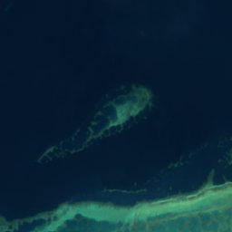
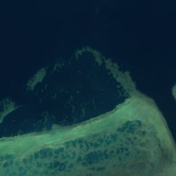
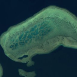


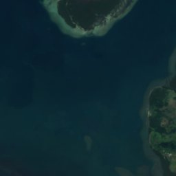
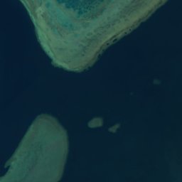
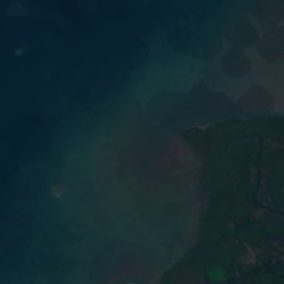
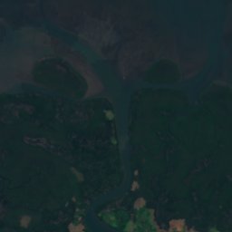
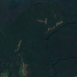
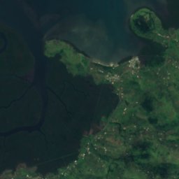
衛星: Sentinel-2 cloudless 2016(EOX IT Services GmbH) · CC BY 4.0 · 改変したCopernicus Sentinelデータ(2016年)を含みます
バ川
Ba, Western
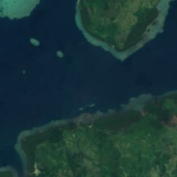
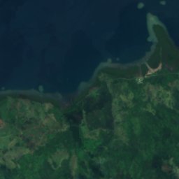
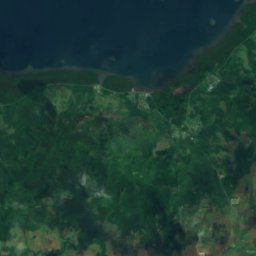
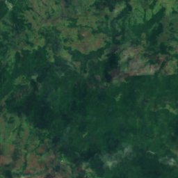
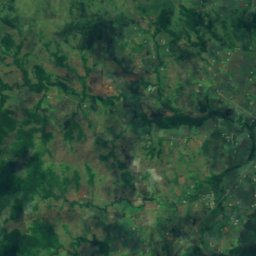
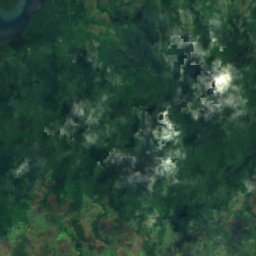
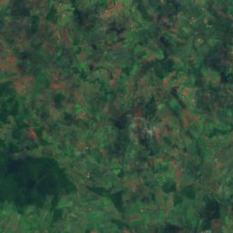
衛星: Sentinel-2 cloudless 2016(EOX IT Services GmbH) · CC BY 4.0 · 改変したCopernicus Sentinelデータ(2016年)を含みます
Dreketi River
Labasa, Northern
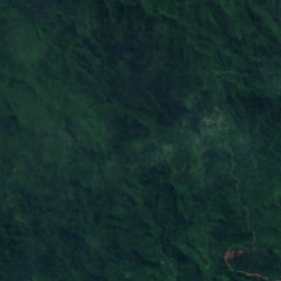
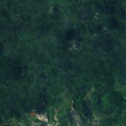
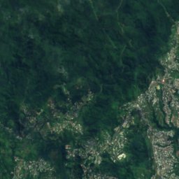
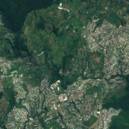
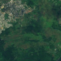
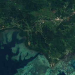
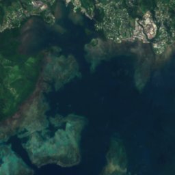
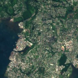
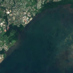
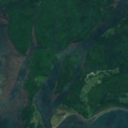
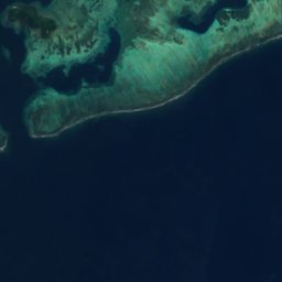
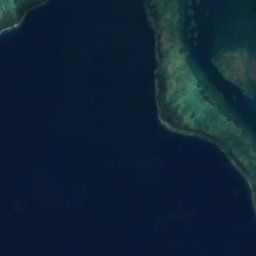
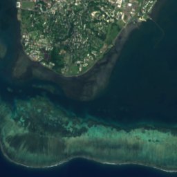
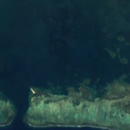
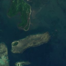
衛星: Sentinel-2 cloudless 2016(EOX IT Services GmbH) · CC BY 4.0 · 改変したCopernicus Sentinelデータ(2016年)を含みます
Vatuwangga River
Suva, Central
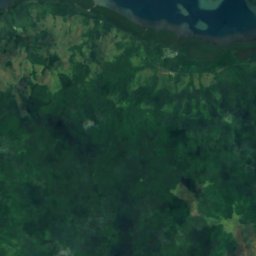
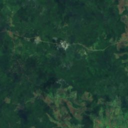
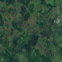
衛星: Sentinel-2 cloudless 2016(EOX IT Services GmbH) · CC BY 4.0 · 改変したCopernicus Sentinelデータ(2016年)を含みます
Nasuva River
Labasa, Northern
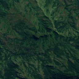

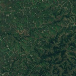


衛星: Sentinel-2 cloudless 2016(EOX IT Services GmbH) · CC BY 4.0 · 改変したCopernicus Sentinelデータ(2016年)を含みます
Sabeto River
Nadi, Western
全リスト:川65か所
- Dreketi River
- Korotasere River
- Korovuli River
- Labasa River
- Lami River
- Langalanga River
- Lombau River
- Malakua River
- Mbuthaisau River
- Nakauvandra River
- Nalangi River
- Namata River
- Nandi River
- Nandongo River
- Nanenivunda River
- Nasekawa River
- Nasinu River
- Nasivi River
- Nasoata River
- Nasoni River
- Nasuva River
- Natoavou River
- Navilangolango River
- Navuloa River
- Ndeumba River
- Ndrakaniwai River
- Ngalongalo River
- Nggaloyangga River
- Nggaraninggio River
- Penang River
- Qawa River
- Rukuruku River
- Sabeto River
- Samambula River
- Saravi River
- Savu River
- Sigatoka River
- Tamavua River
- Tambia River
- Taunovo River
- Tonguru River
- Tuva River
- Vaturova River
- Vatuwangga River
- Veinungga River
- Veisari River
- Vunda River
- Vunindawa River
- Waimanu River
- Waimaro River
- Wainandoi River
- Waindalithi River
- Waindamu River
- Waindina River
- Wainikoro River
- Wainikoroiluva River
- Wainimala River
- Wainivesi River
- Wairikinggisi River
- Wairikithake River
- Yanggara River
- トガ川
- ナブア川
- バ川
- レワ川