
 Altshauser Weiher
 Wolfegger Ach
 Höchsten
 Gehrenberg
湖Fronreute, バーデン=ヴュルテンベルク州
Schreckensee
湖標高568 mベスト 7月–9月
標高568 m海抜
面積0.3 km²総面積
最寄りの地点Fronreute2.1 km
北緯47.89°、東経9.56°標高 568 mUTC+1 · 中央ヨーロッパ標準時
旅行時期Fronreute · 天気スコア
ベストシーズン7月–9月
10月:最高 / 最低13° / 5°
湖
Schreckensee 概要
Schreckenseeはドイツ(バーデン=ヴュルテンベルク州)にある湖です。
標高568 m、面積約0.3 km²です。
最も近い地点は、南に2.1 km離れたFronreuteです。そこで天気が最も快適なのは7月、8月、9月です。
周辺の現在の天気
Fronreuteの天気予報10°
現在の天気:雨
今日
10月25日
11°
5°
15 mm
月
10月26日
11°
3°
火
10月27日
17°
3°
水
10月28日
11°
5°
2 mm
木
10月29日
12°
3°
モデル計算時刻 00:00 UTC1 日に数回更新
湖の水
湖の面積、平均水深、貯水量、湖岸線の長さ。路面0.3 km²
平均水深4 m
貯水量1 百万 m³
湖岸線2.0 km
いつ行くか
Fronreuteの気候Schreckensee:ベストシーズン
Fronreuteの月別評価
快適さ、雨の降らない日数、日照 · 100 点満点19
1月
26
2月
21
3月
44
4月
63
5月
64
6月
66
7月
66
8月
66
9月
40
10月
24
11月
17
12月
地図
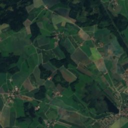
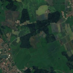
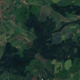
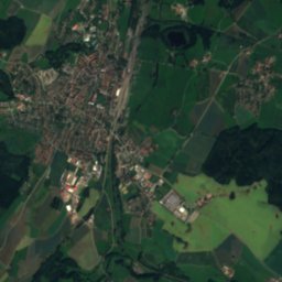
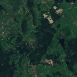
Schreckensee 上空から
周辺の自然全国
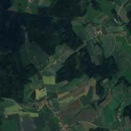
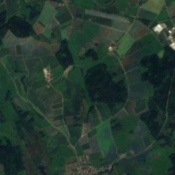
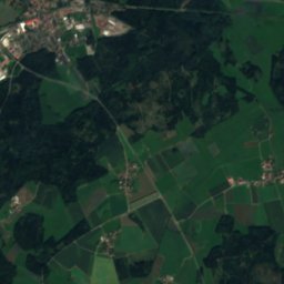
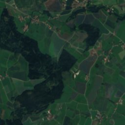
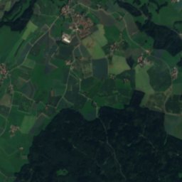
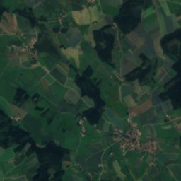
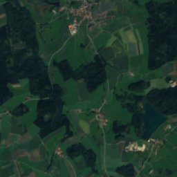
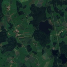
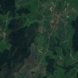
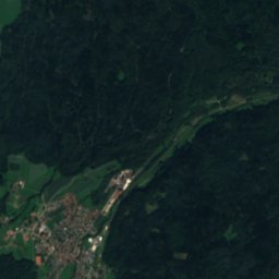
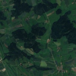
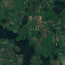
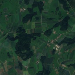
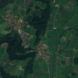
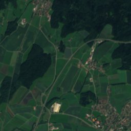
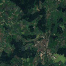
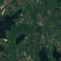
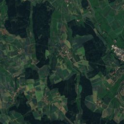
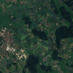
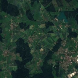
衛星: Sentinel-2 cloudless 2016(EOX IT Services GmbH) · CC BY 4.0 · 改変したCopernicus Sentinelデータ(2016年)を含みます
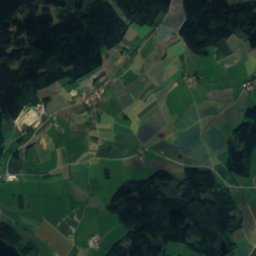
衛星: Sentinel-2 cloudless 2016(EOX IT Services GmbH) · CC BY 4.0 · 改変したCopernicus Sentinelデータ(2016年)を含みます
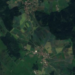
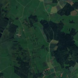
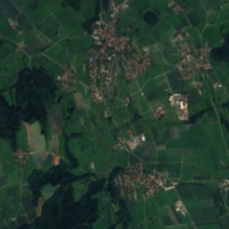
衛星: Sentinel-2 cloudless 2016(EOX IT Services GmbH) · CC BY 4.0 · 改変したCopernicus Sentinelデータ(2016年)を含みます


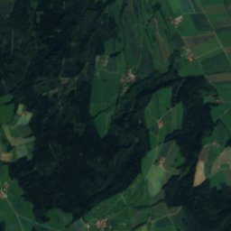
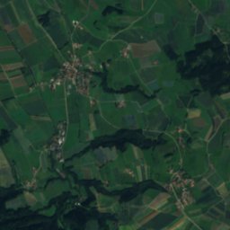
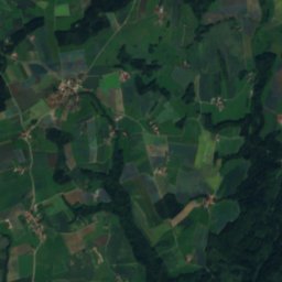
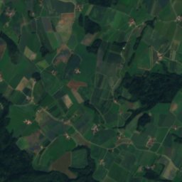
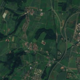
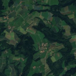
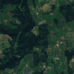
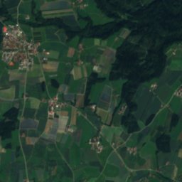
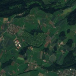
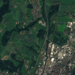
衛星: Sentinel-2 cloudless 2016(EOX IT Services GmbH) · CC BY 4.0 · 改変したCopernicus Sentinelデータ(2016年)を含みます
周辺の山頂ドイツの山

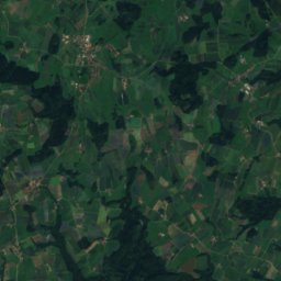
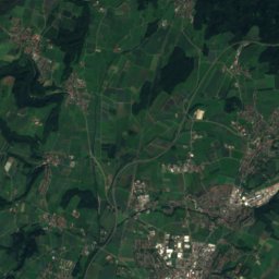
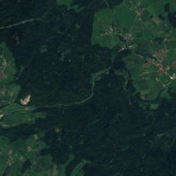
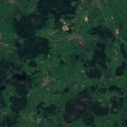
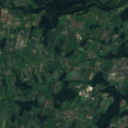
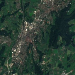
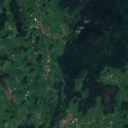
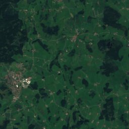
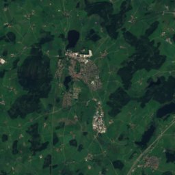
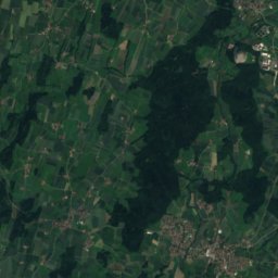
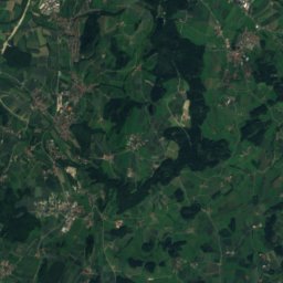
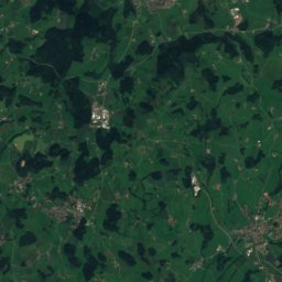
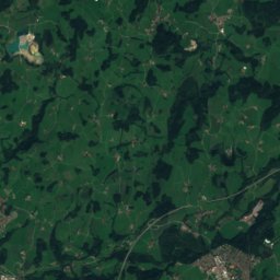
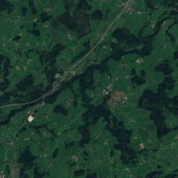
衛星: Sentinel-2 cloudless 2016(EOX IT Services GmbH) · CC BY 4.0 · 改変したCopernicus Sentinelデータ(2016年)を含みます
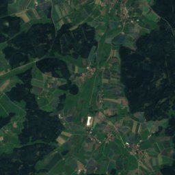
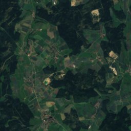
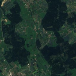
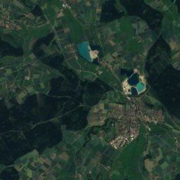
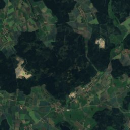
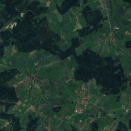
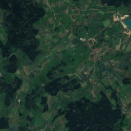
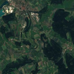
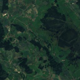
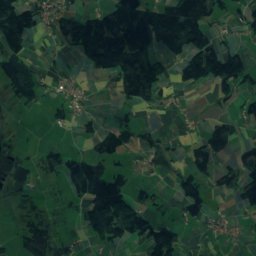
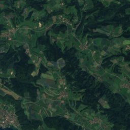
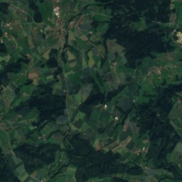
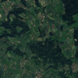
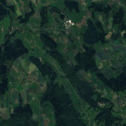
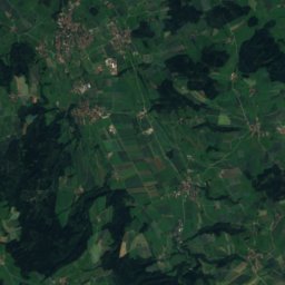
衛星: Sentinel-2 cloudless 2016(EOX IT Services GmbH) · CC BY 4.0 · 改変したCopernicus Sentinelデータ(2016年)を含みます

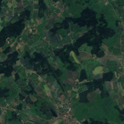
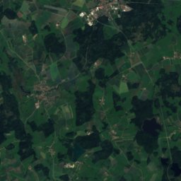
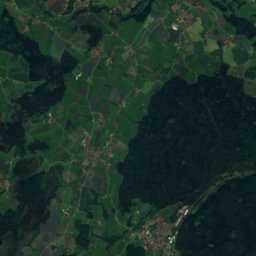
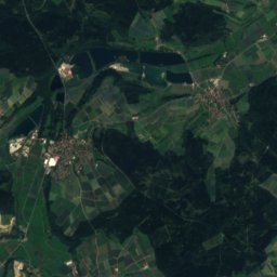
衛星: Sentinel-2 cloudless 2016(EOX IT Services GmbH) · CC BY 4.0 · 改変したCopernicus Sentinelデータ(2016年)を含みます
近くに泊まる
すぐ近くの地点


周辺
Fronreuteとその周辺
自然


山


遺産


衛星: Sentinel-2 cloudless 2016(EOX IT Services GmbH) · CC BY 4.0 · 改変したCopernicus Sentinelデータ(2016年)を含みます
Kloster Weißenau
1101


