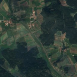
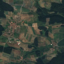
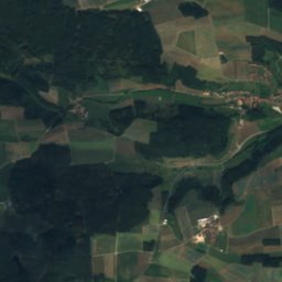
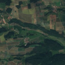
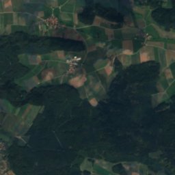
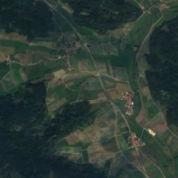
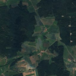
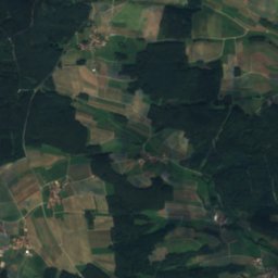
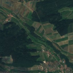
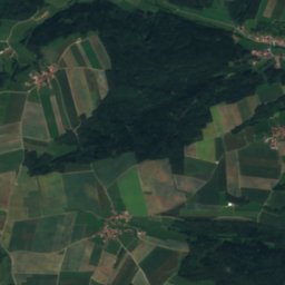
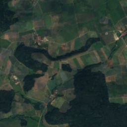
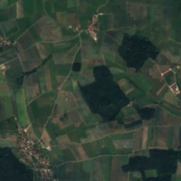
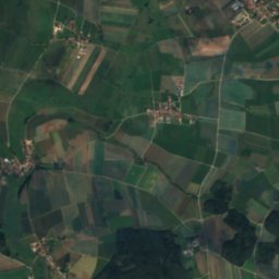
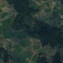
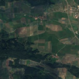
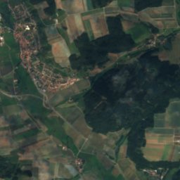
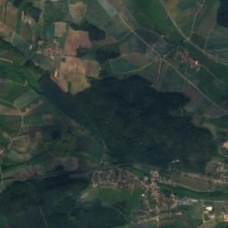
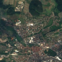
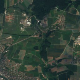
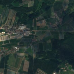
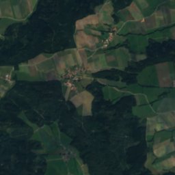
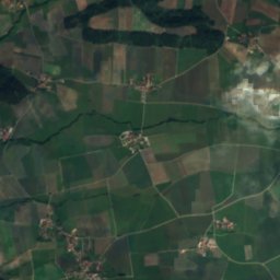
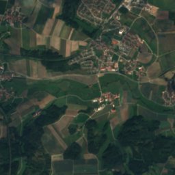
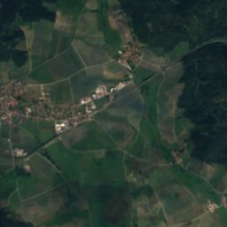
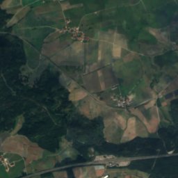
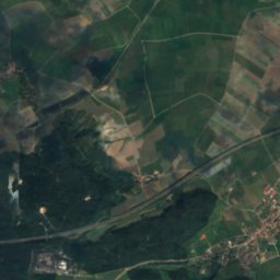
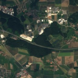
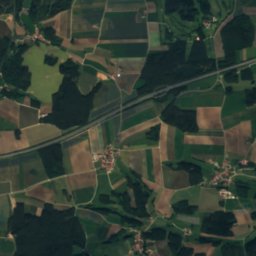
衛星: Sentinel-2 cloudless 2016(EOX IT Services GmbH) · CC BY 4.0 · 改変したCopernicus Sentinelデータ(2016年)を含みます
 Hagenbach, Bavaria

写真: Ulrich Rahm (1972-1993), uploaded by: Moros · Public domain · Wikimedia Commons
Aurach (Rednitz)この写真を報告 · リンクのみ、保存なし
Aurach (Rednitz)Aurach (Rednitz)この写真を報告 · リンクのみ、保存なし
湖Schalkhausen, バイエルン州
Scheerweiher
湖標高418 mベスト 6月 · 8月–9月
標高418 m海抜
面積–総面積
最寄りの地点Schalkhausen0.4 km
北緯49.31°、東経10.52°標高 418 mUTC+1 · 中央ヨーロッパ標準時
旅行時期Schalkhausen · 天気スコア
ベストシーズン6月 · 8月–9月
10月:最高 / 最低14° / 5°
湖
Scheerweiher 概要
Scheerweiherはドイツ(バイエルン州)にある湖です。
標高418 mです。
最も近い地点は、南東に0.4 km離れたSchalkhausenです。そこで天気が最も快適なのは6月、8月、9月です。
周辺の現在の天気
Schalkhausenの天気予報1°
現在の天気:曇り
今日
10月29日
10°
1°
金
10月30日
11°
0°
土
10月31日
7°
-1°
日
11月1日
8°
3°
月
11月2日
8°
-1°
モデル計算時刻 12:00 UTC1 日に数回更新
いつ行くか
Schalkhausenの気候Scheerweiher:ベストシーズン
Schalkhausenの月別評価
快適さ、雨の降らない日数、日照 · 100 点満点18
1月
26
2月
25
3月
56
4月
64
5月
66
6月
65
7月
69
8月
74
9月
43
10月
23
11月
14
12月
地図
Scheerweiher 上空から
周辺の自然全国
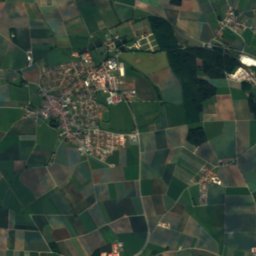
衛星: Sentinel-2 cloudless 2016(EOX IT Services GmbH) · CC BY 4.0 · 改変したCopernicus Sentinelデータ(2016年)を含みます

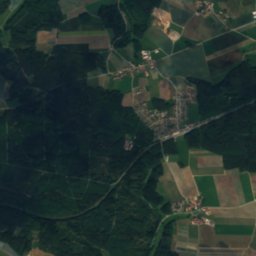
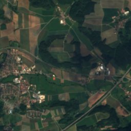
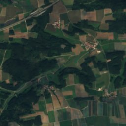
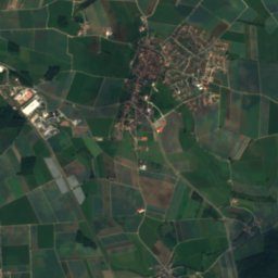
衛星: Sentinel-2 cloudless 2016(EOX IT Services GmbH) · CC BY 4.0 · 改変したCopernicus Sentinelデータ(2016年)を含みます
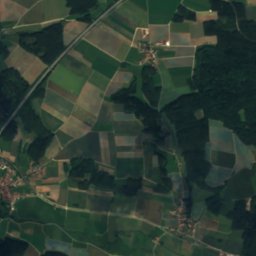
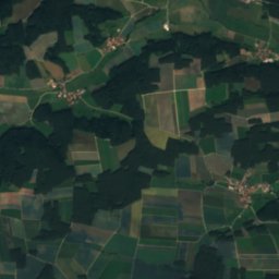
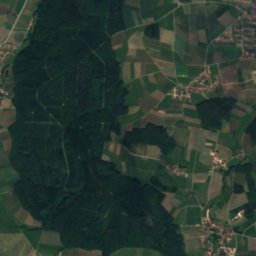
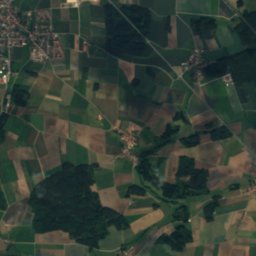
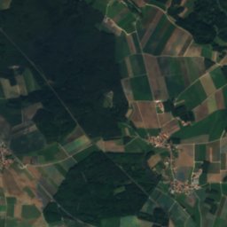
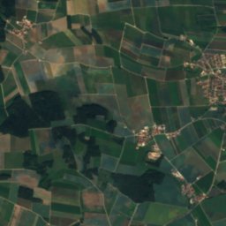
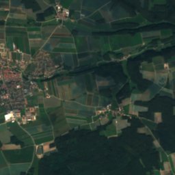
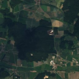
衛星: Sentinel-2 cloudless 2016(EOX IT Services GmbH) · CC BY 4.0 · 改変したCopernicus Sentinelデータ(2016年)を含みます

写真: Ulrich Rahm (1972-1993), uploaded by: Moros · Public domain · Wikimedia Commonsこの写真を報告 · リンクのみ、保存なし
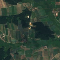
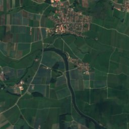
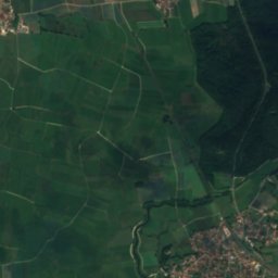
周辺の山頂ドイツの山
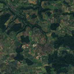
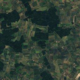
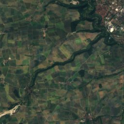
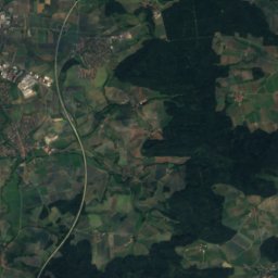
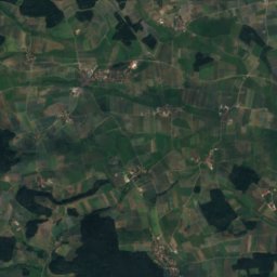
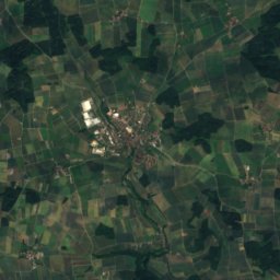
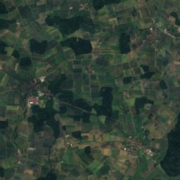
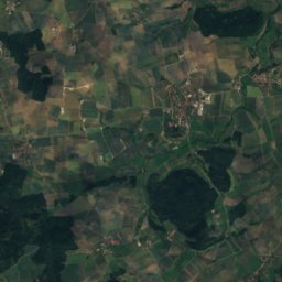
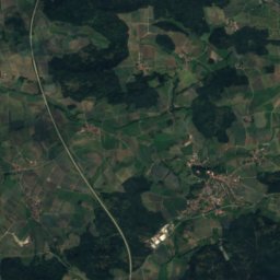
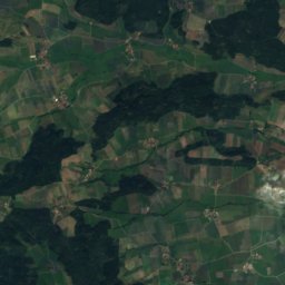
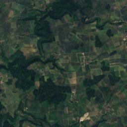
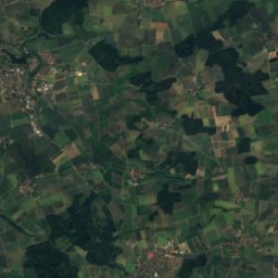
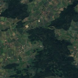
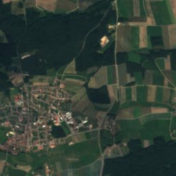
衛星: Sentinel-2 cloudless 2016(EOX IT Services GmbH) · CC BY 4.0 · 改変したCopernicus Sentinelデータ(2016年)を含みます
衛星: Sentinel-2 cloudless 2016(EOX IT Services GmbH) · CC BY 4.0 · 改変したCopernicus Sentinelデータ(2016年)を含みます
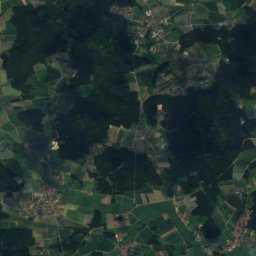
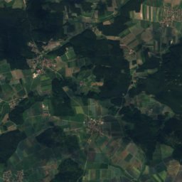
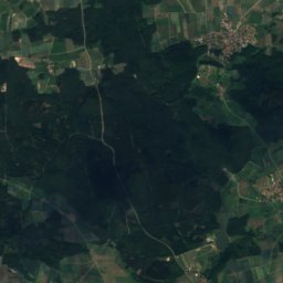
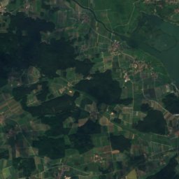
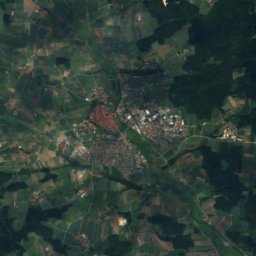
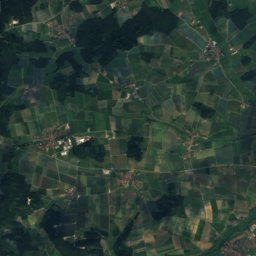
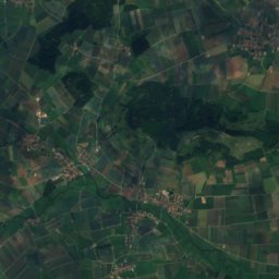
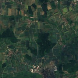
衛星: Sentinel-2 cloudless 2016(EOX IT Services GmbH) · CC BY 4.0 · 改変したCopernicus Sentinelデータ(2016年)を含みます
衛星: Sentinel-2 cloudless 2016(EOX IT Services GmbH) · CC BY 4.0 · 改変したCopernicus Sentinelデータ(2016年)を含みます
衛星: Sentinel-2 cloudless 2016(EOX IT Services GmbH) · CC BY 4.0 · 改変したCopernicus Sentinelデータ(2016年)を含みます
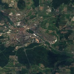
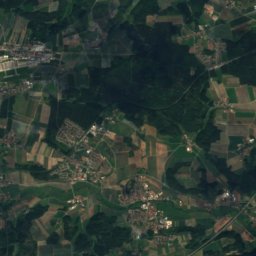
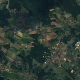
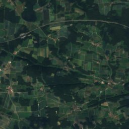
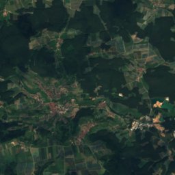
衛星: Sentinel-2 cloudless 2016(EOX IT Services GmbH) · CC BY 4.0 · 改変したCopernicus Sentinelデータ(2016年)を含みます
近くに泊まる
すぐ近くの地点


周辺
Schalkhausenとその周辺
自然
衛星: Sentinel-2 cloudless 2016(EOX IT Services GmbH) · CC BY 4.0 · 改変したCopernicus Sentinelデータ(2016年)を含みます
Silberbach (Franconian Rezat)
川
山

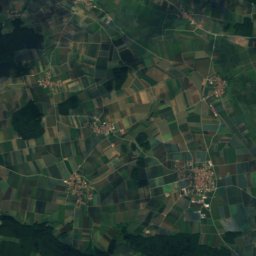
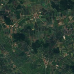
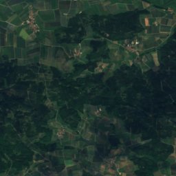
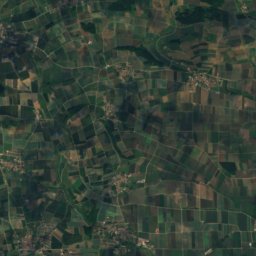
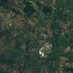
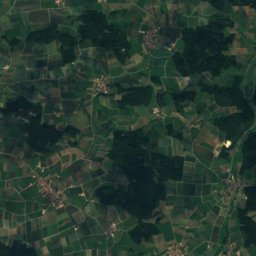
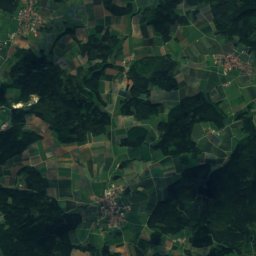
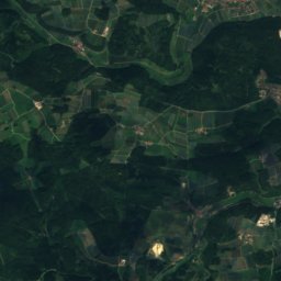
衛星: Sentinel-2 cloudless 2016(EOX IT Services GmbH) · CC BY 4.0 · 改変したCopernicus Sentinelデータ(2016年)を含みます
Efferaberg
645 m
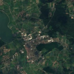
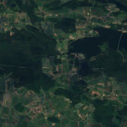
衛星: Sentinel-2 cloudless 2016(EOX IT Services GmbH) · CC BY 4.0 · 改変したCopernicus Sentinelデータ(2016年)を含みます
Spielberg, Bavaria
645 m
遺産
衛星: Sentinel-2 cloudless 2016(EOX IT Services GmbH) · CC BY 4.0 · 改変したCopernicus Sentinelデータ(2016年)を含みます
St. Laurentius (Elpersdorf bei Ansbach)


写真: Ansbach,_St._Ludwig-001.jpg: Tilman2007 derivative work: Rabanus Flavus · CC BY-SA 3.0 · Wikimedia Commonsこの写真を報告 · リンクのみ、保存なし
St. Ludwig、アンスバッハ
博物館・美術館




衛星: Sentinel-2 cloudless 2016(EOX IT Services GmbH) · CC BY 4.0 · 改変したCopernicus Sentinelデータ(2016年)を含みます
Markgrafenmuseum
1932