自然
チュニジアの水辺、氷河、原野
湖、滝、氷河、国立公園、山小屋。それぞれの場所、規模、周辺の天気を掲載。
湖7か所(個別ページあり)
国立公園14か所(個別ページあり)
ビーチ1か所(個別ページあり)
島21か所(個別ページあり)

湖
チュニジアの湖


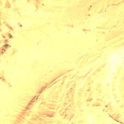
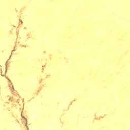
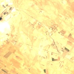
衛星: Sentinel-2 cloudless 2016(EOX IT Services GmbH) · CC BY 4.0 · 改変したCopernicus Sentinelデータ(2016年)を含みます
Lac de Gafsa
Metlaoui, Gafsa
0.0 km²
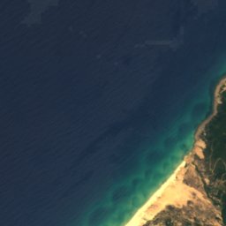
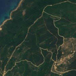
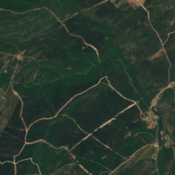
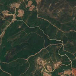
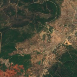
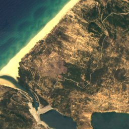
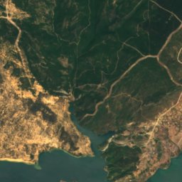
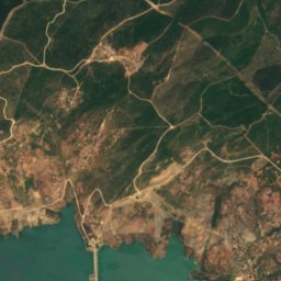
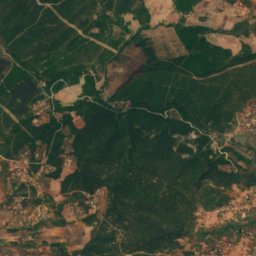
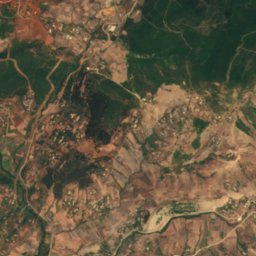
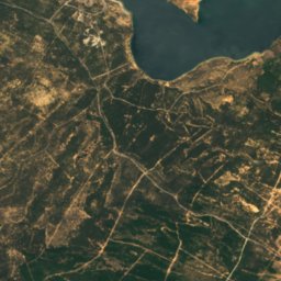
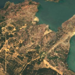
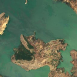
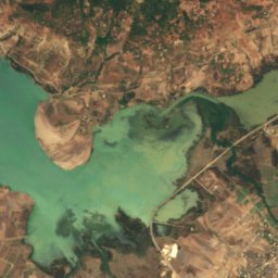
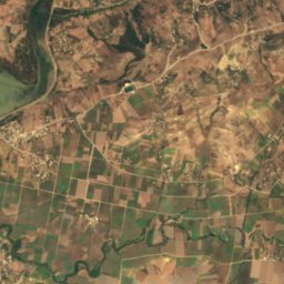
衛星: Sentinel-2 cloudless 2016(EOX IT Services GmbH) · CC BY 4.0 · 改変したCopernicus Sentinelデータ(2016年)を含みます
シディ・エル・バラク貯水池
Sejenane, Bizerte Governorate
9.2 km²
国立公園
チュニジアの国立公園


Jebel Chitana-Cape Negro National Park
Sejenane, Bizerte Governorate


全リスト:国立公園14か所
- Bou-Hedma National Park
- Boukornine National Park
- Chambi National Park
- Dghoumes National Park
- El Feidja National Park
- Jebel Chitana-Cape Negro National Park
- Jebel Mghilla National Park
- Jebel Orbata National Park
- Jebel Serj National Park
- Jebel Zaghdoud National Park
- Jebel Zaghouan National Park
- Oued Zen National Park
- イシュケル国立公園
- ゼンブラ・ゼンブレッタ群島国立公園
ビーチ
チュニジアのビーチ

島
チュニジアの島


写真: Originally posted on Flickr by citizen59, and uploaded to Commons by DrFO.Jr.Tn · CC BY-SA 2.0 · Wikimedia Commonsこの写真を報告 · リンクのみ、保存なし
プレーン島
Rhar el Melah, Bizerte Governorate

写真: The original uploader was Profburp at French Wikipedia. · CC BY-SA 2.5 · Wikimedia Commonsこの写真を報告 · リンクのみ、保存なし
Pilau
Raf Raf, Bizerte Governorate
116 m




川
チュニジアの川


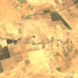
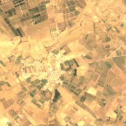
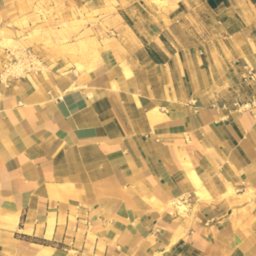
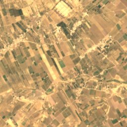
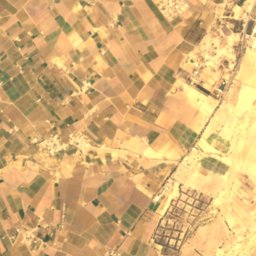
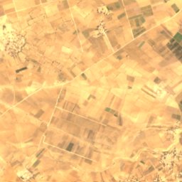
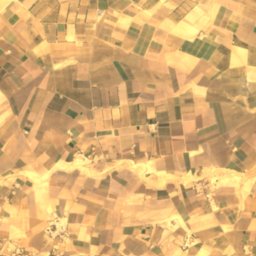
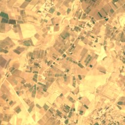
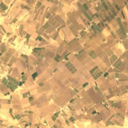
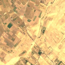
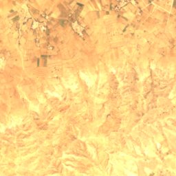
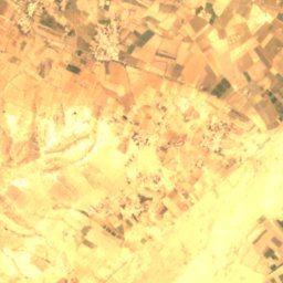
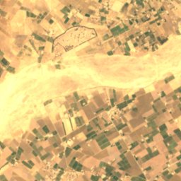
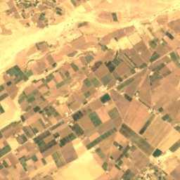
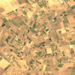
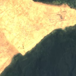
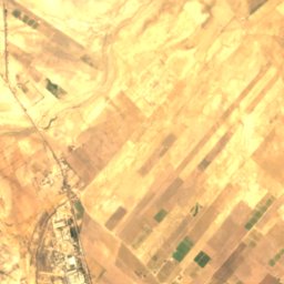
衛星: Sentinel-2 cloudless 2016(EOX IT Services GmbH) · CC BY 4.0 · 改変したCopernicus Sentinelデータ(2016年)を含みます
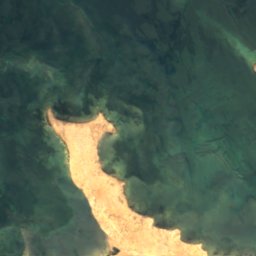
Oued Zeroud
Menzel M’heri, Kairouan
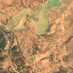
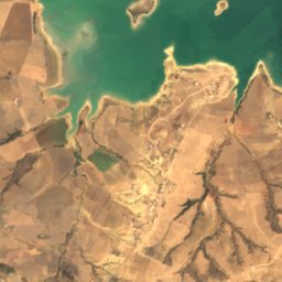
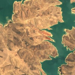
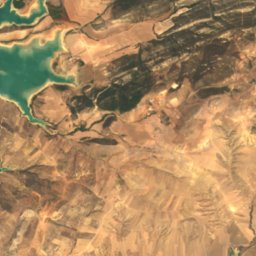
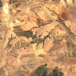
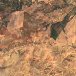
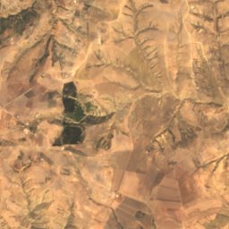
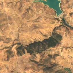
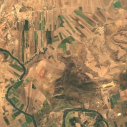
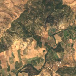
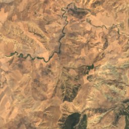
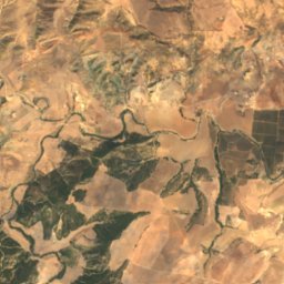
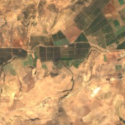
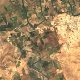
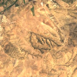
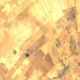
衛星: Sentinel-2 cloudless 2016(EOX IT Services GmbH) · CC BY 4.0 · 改変したCopernicus Sentinelデータ(2016年)を含みます
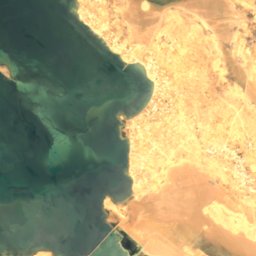
シリアナ川
Testour, Béja Governorate




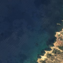



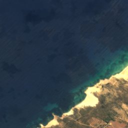
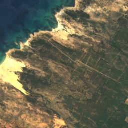


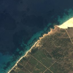
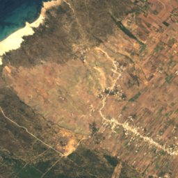
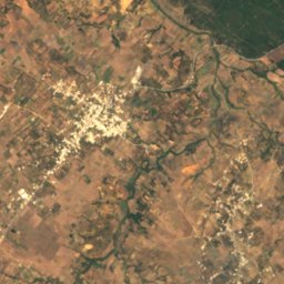
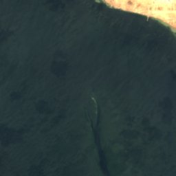
衛星: Sentinel-2 cloudless 2016(EOX IT Services GmbH) · CC BY 4.0 · 改変したCopernicus Sentinelデータ(2016年)を含みます
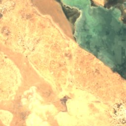
Oued Oum el Hallalif
Zaouiet Azmour, Nabeul Governorate
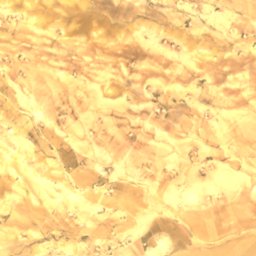
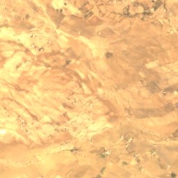
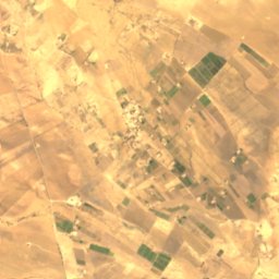
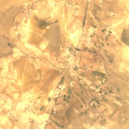
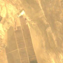
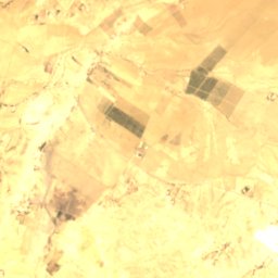
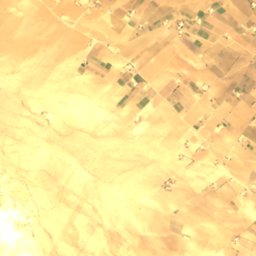
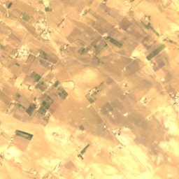
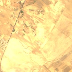
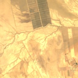
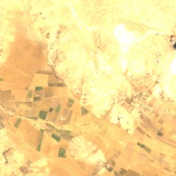


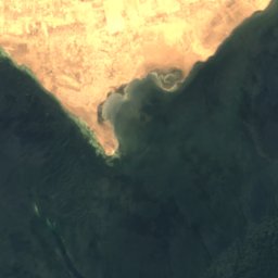
衛星: Sentinel-2 cloudless 2016(EOX IT Services GmbH) · CC BY 4.0 · 改変したCopernicus Sentinelデータ(2016年)を含みます
Oued es Segui
Aïn Djeloula, Kairouan