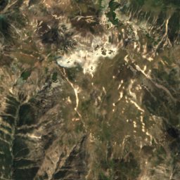
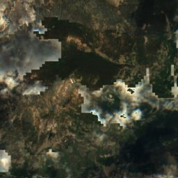
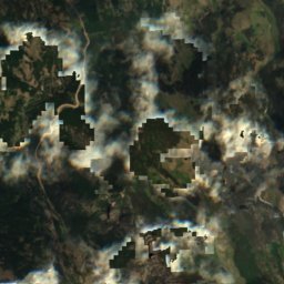
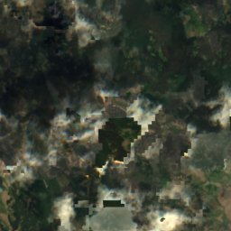
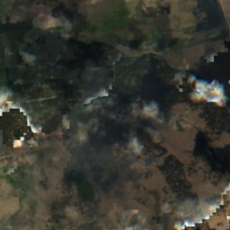
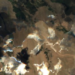
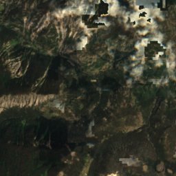
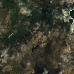
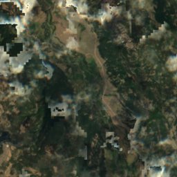
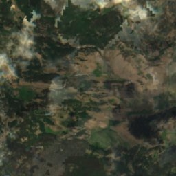
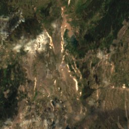
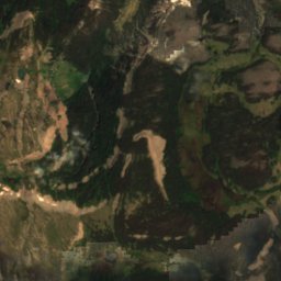
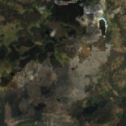
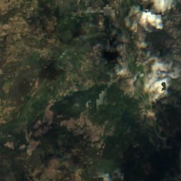
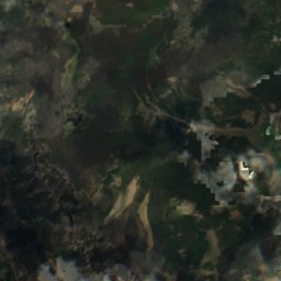
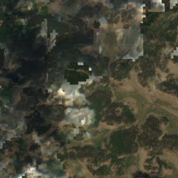
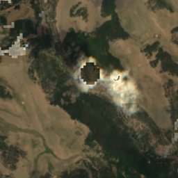
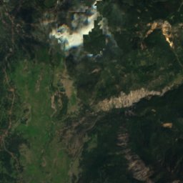
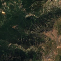
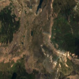
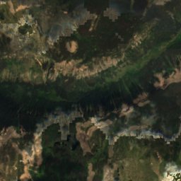
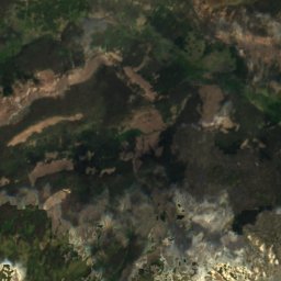
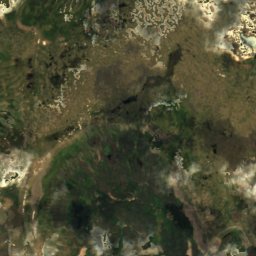
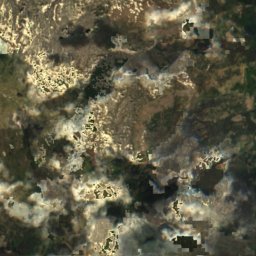
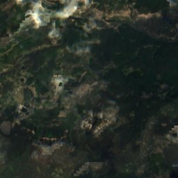
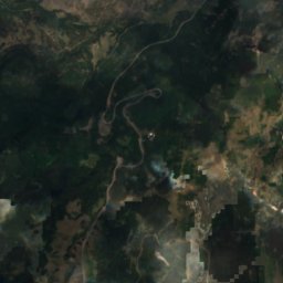
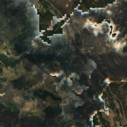
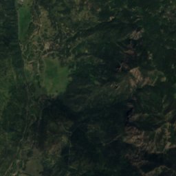
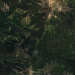
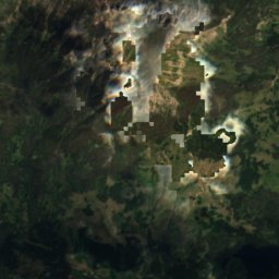
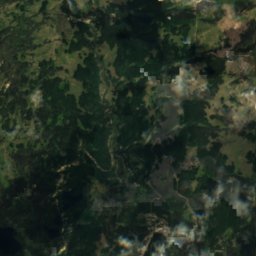
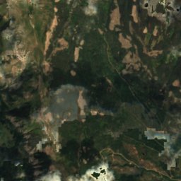
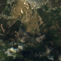
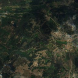
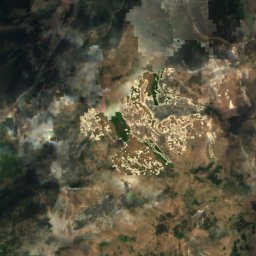
衛星: Sentinel-2 cloudless 2016(EOX IT Services GmbH) · CC BY 4.0 · 改変したCopernicus Sentinelデータ(2016年)を含みます
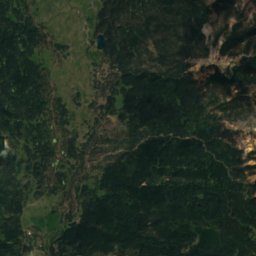
 Rio de los Pinos
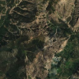
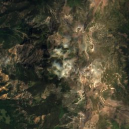
 Rio Chama
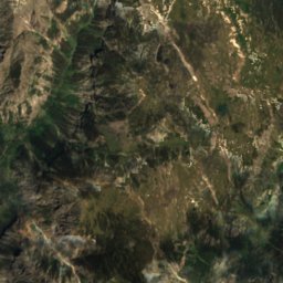
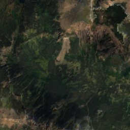
 Conejos Peak
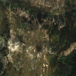
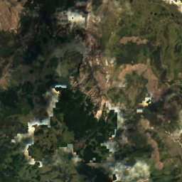
湖Platoro, コロラド州
Second Meadows
湖ベスト 5月–6月 · 9月
標高–海抜
面積–総面積
最寄りの地点Platoro23 km
北緯37.15°、西経106.48°UTC−6 · 米国山岳夏時間
旅行時期Platoro · 天気スコア
ベストシーズン5月–6月 · 9月
10月:最高 / 最低14° / -5°
湖
Second Meadows 概要
Second Meadowsはアメリカ(コロラド州)にある湖です。
最も近い地点は、北に23 km離れたPlatoroです。そこで天気が最も快適なのは5月、6月、9月です。
周辺の現在の天気
Platoroの天気予報-1°
現在の天気:曇り
今日
10月30日
14°
-4°
土
10月31日
10°
-5°
4 mm
日
11月1日
9°
-3°
45 mm
月
11月2日
7°
-6°
15 mm
火
11月3日
11°
-10°
モデル計算時刻 12:00 UTC1 日に数回更新
いつ行くか
Platoroの気候Second Meadows:ベストシーズン
Platoroの月別評価
快適さ、雨の降らない日数、日照 · 100 点満点40
1月
35
2月
38
3月
40
4月
70
5月
88
6月
67
7月
67
8月
78
9月
60
10月
43
11月
37
12月
地図
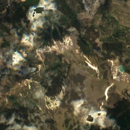
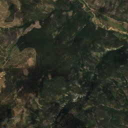
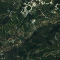
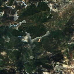
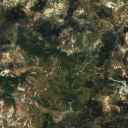
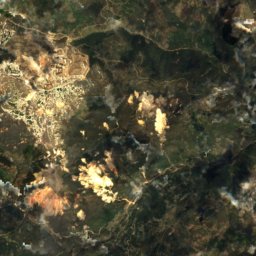
Second Meadows 上空から
周辺の自然全国
衛星: Sentinel-2 cloudless 2016(EOX IT Services GmbH) · CC BY 4.0 · 改変したCopernicus Sentinelデータ(2016年)を含みます

衛星: Sentinel-2 cloudless 2016(EOX IT Services GmbH) · CC BY 4.0 · 改変したCopernicus Sentinelデータ(2016年)を含みます

衛星: Sentinel-2 cloudless 2016(EOX IT Services GmbH) · CC BY 4.0 · 改変したCopernicus Sentinelデータ(2016年)を含みます
衛星: Sentinel-2 cloudless 2016(EOX IT Services GmbH) · CC BY 4.0 · 改変したCopernicus Sentinelデータ(2016年)を含みます
周辺の山頂アメリカの山


周辺
Platoroとその周辺
自然

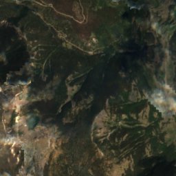
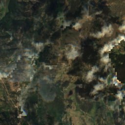
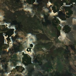
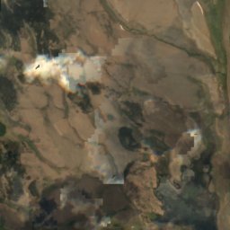
衛星: Sentinel-2 cloudless 2016(EOX IT Services GmbH) · CC BY 4.0 · 改変したCopernicus Sentinelデータ(2016年)を含みます
Acascosa Lake
湖
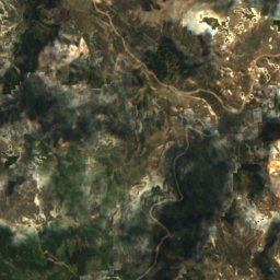
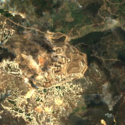
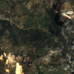
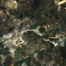
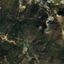
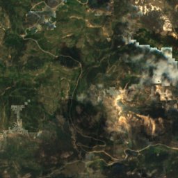
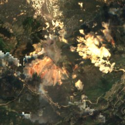
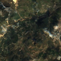
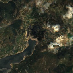
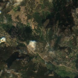
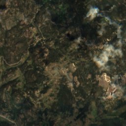
衛星: Sentinel-2 cloudless 2016(EOX IT Services GmbH) · CC BY 4.0 · 改変したCopernicus Sentinelデータ(2016年)を含みます
Kerr Lake, Colorado
湖
山
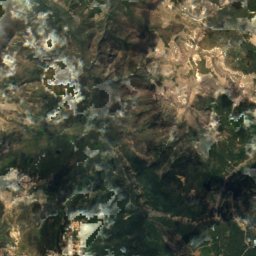

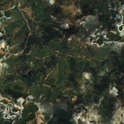
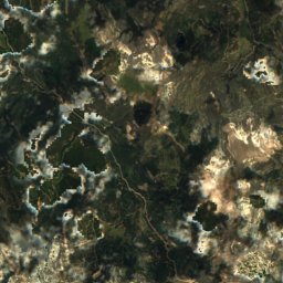
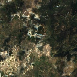
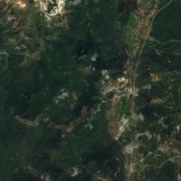
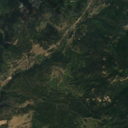

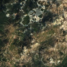
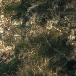
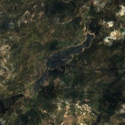
衛星: Sentinel-2 cloudless 2016(EOX IT Services GmbH) · CC BY 4.0 · 改変したCopernicus Sentinelデータ(2016年)を含みます
Summit Peak
4,056 m · サン・フアン山脈
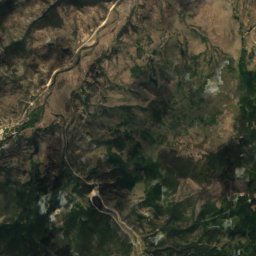
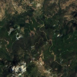


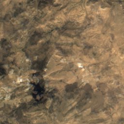
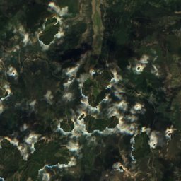
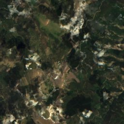
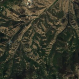
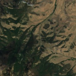
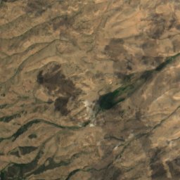
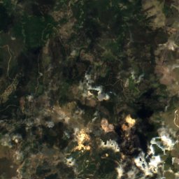
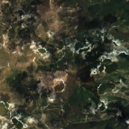
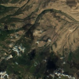


衛星: Sentinel-2 cloudless 2016(EOX IT Services GmbH) · CC BY 4.0 · 改変したCopernicus Sentinelデータ(2016年)を含みます
Bennett Peak
4,026 m · サン・フアン山脈