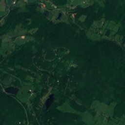
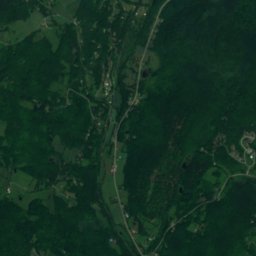
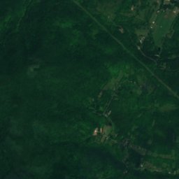
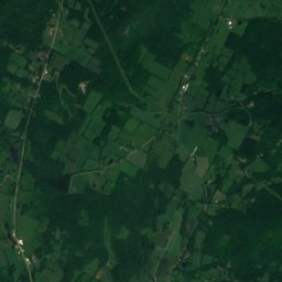
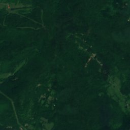
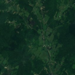
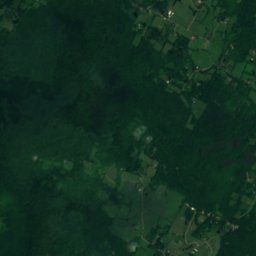
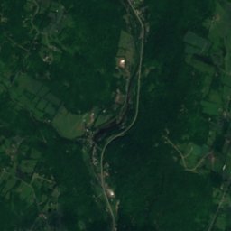
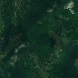
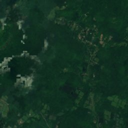
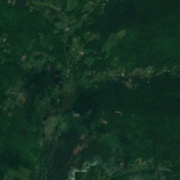
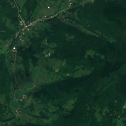
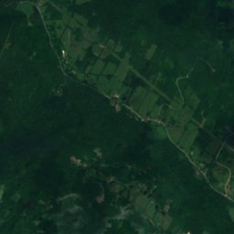
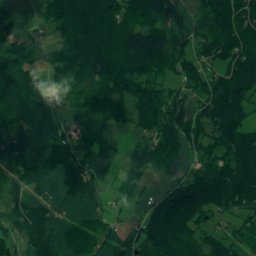
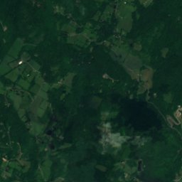
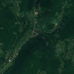
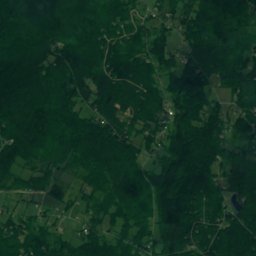
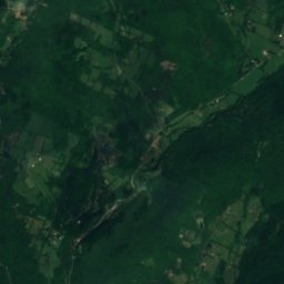
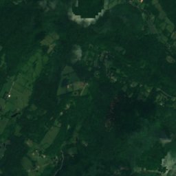
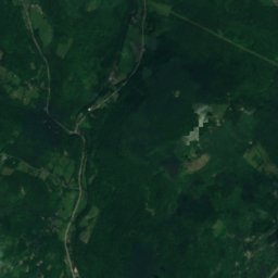
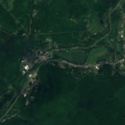
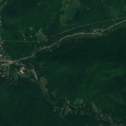
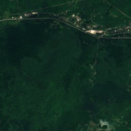
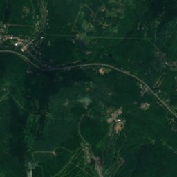
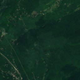
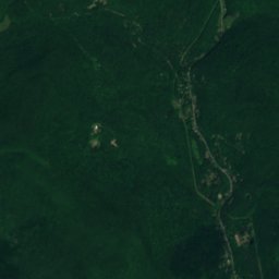
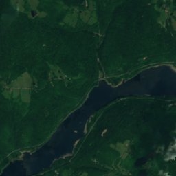
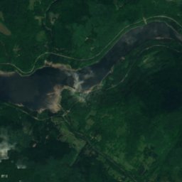
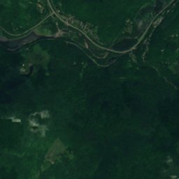
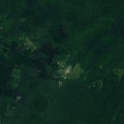
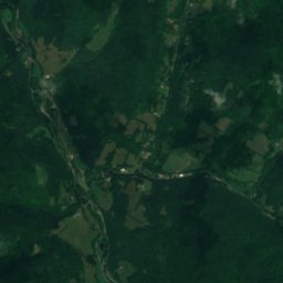
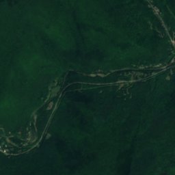
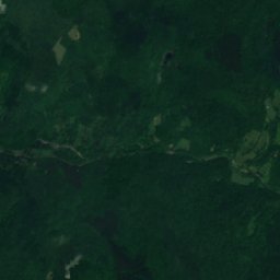
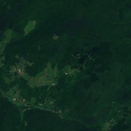
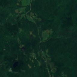
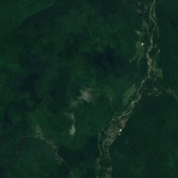
衛星: Sentinel-2 cloudless 2016(EOX IT Services GmbH) · CC BY 4.0 · 改変したCopernicus Sentinelデータ(2016年)を含みます
 Graham Mountain (New York)
 Balsam Lake Mountain
 Balsam Mountain
 Mount Sherrill
川Fleischmanns, ニューヨーク州
Red Kill
川標高445 mベスト 6月 · 8月–9月
標高445 m海抜
面積–総面積
最寄りの地点Fleischmanns2.1 km
北緯42.16°、西経74.56°標高 445 mUTC−4 · 米国東部夏時間
旅行時期Fleischmanns · 天気スコア
ベストシーズン6月 · 8月–9月
10月:最高 / 最低14° / 3°
川
Red Kill 概要
Red Killはアメリカ(ニューヨーク州)にある川です。
標高445 mです。
最も近い地点は、東に2.1 km離れたFleischmannsです。そこで天気が最も快適なのは6月、8月、9月です。
周辺の現在の天気
Fleischmannsの天気予報16°
現在の天気:晴れ
今日
10月25日
18°
-2°
月
10月26日
18°
-1°
火
10月27日
11°
0°
水
10月28日
15°
-3°
木
10月29日
18°
3°
モデル計算時刻 00:00 UTC1 日に数回更新
いつ行くか
Fleischmannsの気候Red Kill:ベストシーズン
Fleischmannsの月別評価
快適さ、雨の降らない日数、日照 · 100 点満点26
1月
29
2月
27
3月
38
4月
62
5月
64
6月
63
7月
66
8月
73
9月
48
10月
26
11月
21
12月
地図
Red Kill 上空から
周辺の自然全国
衛星: Sentinel-2 cloudless 2016(EOX IT Services GmbH) · CC BY 4.0 · 改変したCopernicus Sentinelデータ(2016年)を含みます
衛星: Sentinel-2 cloudless 2016(EOX IT Services GmbH) · CC BY 4.0 · 改変したCopernicus Sentinelデータ(2016年)を含みます
衛星: Sentinel-2 cloudless 2016(EOX IT Services GmbH) · CC BY 4.0 · 改変したCopernicus Sentinelデータ(2016年)を含みます
衛星: Sentinel-2 cloudless 2016(EOX IT Services GmbH) · CC BY 4.0 · 改変したCopernicus Sentinelデータ(2016年)を含みます
衛星: Sentinel-2 cloudless 2016(EOX IT Services GmbH) · CC BY 4.0 · 改変したCopernicus Sentinelデータ(2016年)を含みます
衛星: Sentinel-2 cloudless 2016(EOX IT Services GmbH) · CC BY 4.0 · 改変したCopernicus Sentinelデータ(2016年)を含みます
周辺の山頂アメリカの山


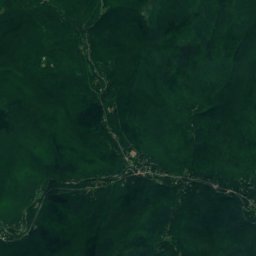
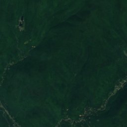
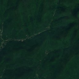
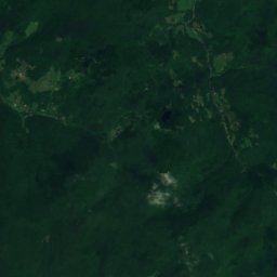
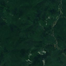
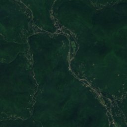
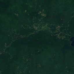
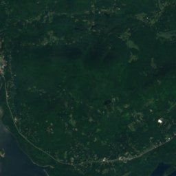
衛星: Sentinel-2 cloudless 2016(EOX IT Services GmbH) · CC BY 4.0 · 改変したCopernicus Sentinelデータ(2016年)を含みます

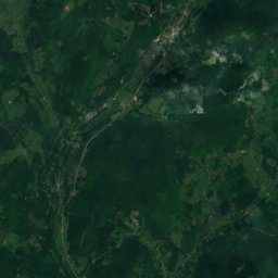
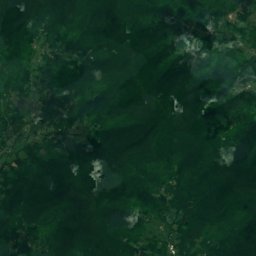
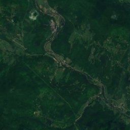
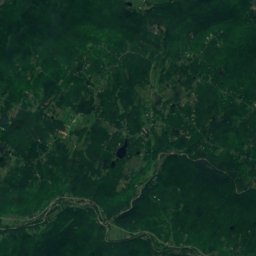
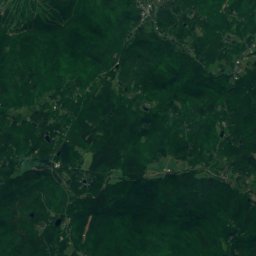
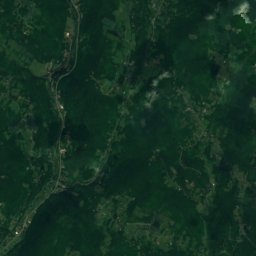
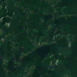
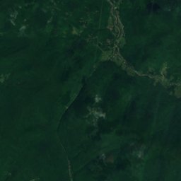
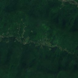
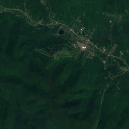
衛星: Sentinel-2 cloudless 2016(EOX IT Services GmbH) · CC BY 4.0 · 改変したCopernicus Sentinelデータ(2016年)を含みます

近くに泊まる
すぐ近くの地点


周辺
Fleischmannsとその周辺
自然
衛星: Sentinel-2 cloudless 2016(EOX IT Services GmbH) · CC BY 4.0 · 改変したCopernicus Sentinelデータ(2016年)を含みます
Little Red Kill
川
衛星: Sentinel-2 cloudless 2016(EOX IT Services GmbH) · CC BY 4.0 · 改変したCopernicus Sentinelデータ(2016年)を含みます
Vly Creek
川
衛星: Sentinel-2 cloudless 2016(EOX IT Services GmbH) · CC BY 4.0 · 改変したCopernicus Sentinelデータ(2016年)を含みます
Emory Brook
川 · 462 m
山
衛星: Sentinel-2 cloudless 2016(EOX IT Services GmbH) · CC BY 4.0 · 改変したCopernicus Sentinelデータ(2016年)を含みます
Panther Mountain
1,135 m · キャッツキル山地
遺産



衛星: Sentinel-2 cloudless 2016(EOX IT Services GmbH) · CC BY 4.0 · 改変したCopernicus Sentinelデータ(2016年)を含みます
Maxbilt Theatre
1929
衛星: Sentinel-2 cloudless 2016(EOX IT Services GmbH) · CC BY 4.0 · 改変したCopernicus Sentinelデータ(2016年)を含みます