
川Bethlehem Center, ニューヨーク州
Normans Kill
川ベスト 5月 · 9月–10月
標高–海抜
面積–総面積
最寄りの地点Bethlehem Center2.3 km
北緯42.61°、西経73.76°UTC−4 · 米国東部夏時間
旅行時期Bethlehem Center · 天気スコア
ベストシーズン5月 · 9月–10月
10月:最高 / 最低17° / 5°
川
Normans Kill 概要
Normans Killはアメリカ(ニューヨーク州)にある川です。
最も近い地点は、西に2.3 km離れたBethlehem Centerです。そこで天気が最も快適なのは5月、9月、10月です。
周辺の現在の天気
Bethlehem Centerの天気予報12°
現在の天気:晴れ時々曇り
今日
10月30日
14°
7°
土
10月31日
12°
3°
日
11月1日
14°
0°
月
11月2日
18°
2°
火
11月3日
20°
5°
モデル計算時刻 12:00 UTC1 日に数回更新
川の流路
OpenStreetMap の地図データに基づき、流域の町も示しています。- 1デランソン249 m
- 2Duanesburg219 m
- 3Duane Lake281 m
- 4Princetown128 m
- 5Voorheesville103 m
- 6Westmere89 m
- 7McKownville76 m
- 8デルマー68 m
- 9Hampton Manor63 m
- 10Bethlehem Center58 m
源流河口(または地図上の流路が国外へ出る地点)
いつ行くか
Bethlehem Centerの気候Normans Kill:ベストシーズン
Bethlehem Centerの月別評価
快適さ、雨の降らない日数、日照 · 100 点満点29
1月
31
2月
29
3月
54
4月
64
5月
59
6月
51
7月
55
8月
75
9月
62
10月
28
11月
24
12月
地図
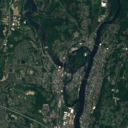
Normans Kill 上空から
周辺の自然全国
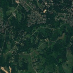
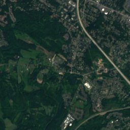
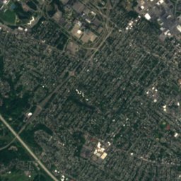
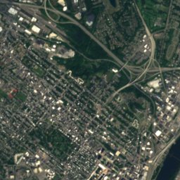
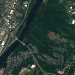
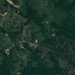
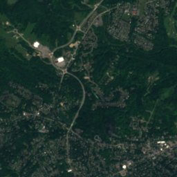
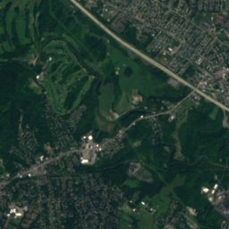
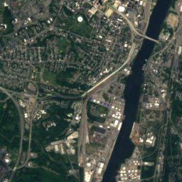
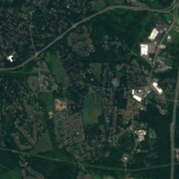
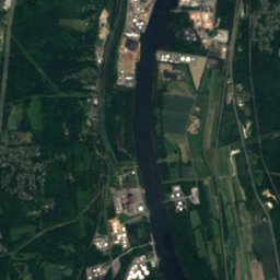
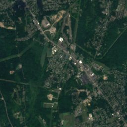
衛星: Sentinel-2 cloudless 2016(EOX IT Services GmbH) · CC BY 4.0 · 改変したCopernicus Sentinelデータ(2016年)を含みます
衛星: Sentinel-2 cloudless 2016(EOX IT Services GmbH) · CC BY 4.0 · 改変したCopernicus Sentinelデータ(2016年)を含みます
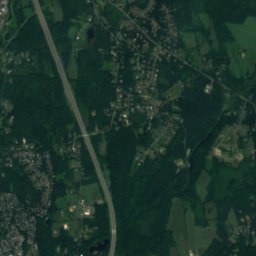
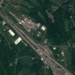
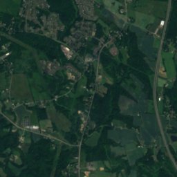
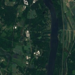
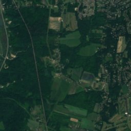
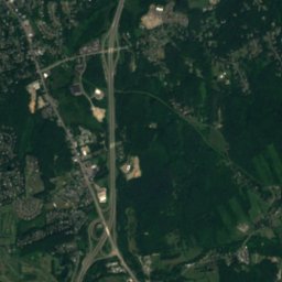
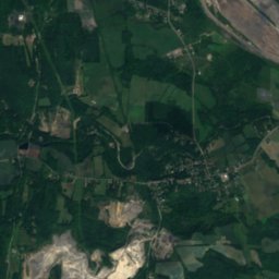
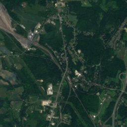
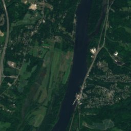
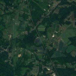
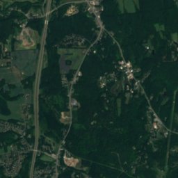
衛星: Sentinel-2 cloudless 2016(EOX IT Services GmbH) · CC BY 4.0 · 改変したCopernicus Sentinelデータ(2016年)を含みます
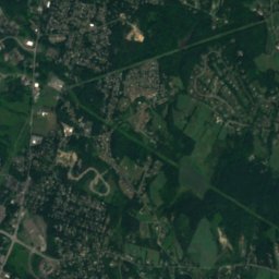
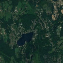
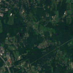
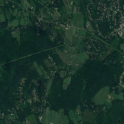
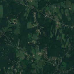
衛星: Sentinel-2 cloudless 2016(EOX IT Services GmbH) · CC BY 4.0 · 改変したCopernicus Sentinelデータ(2016年)を含みます
衛星: Sentinel-2 cloudless 2016(EOX IT Services GmbH) · CC BY 4.0 · 改変したCopernicus Sentinelデータ(2016年)を含みます
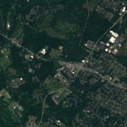
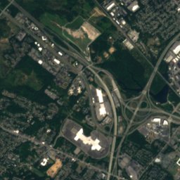
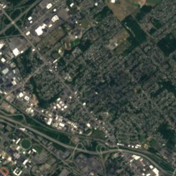
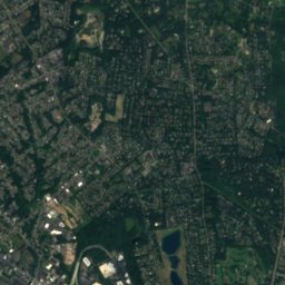
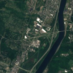
衛星: Sentinel-2 cloudless 2016(EOX IT Services GmbH) · CC BY 4.0 · 改変したCopernicus Sentinelデータ(2016年)を含みます
周辺の山頂アメリカの山
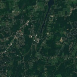
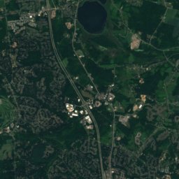
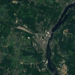
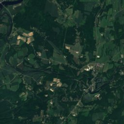
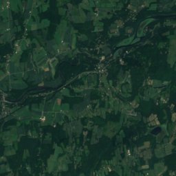
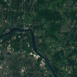
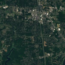
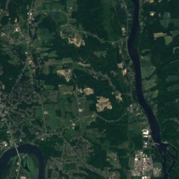
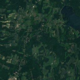
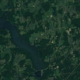
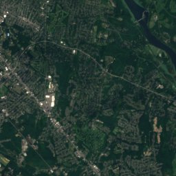
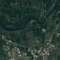
衛星: Sentinel-2 cloudless 2016(EOX IT Services GmbH) · CC BY 4.0 · 改変したCopernicus Sentinelデータ(2016年)を含みます
近くに泊まる
すぐ近くの地点

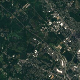
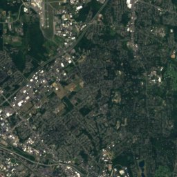
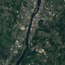
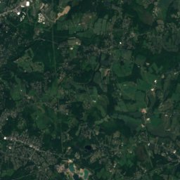
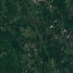
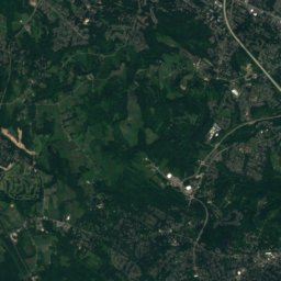
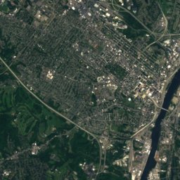
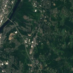
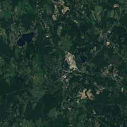
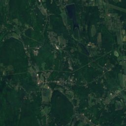
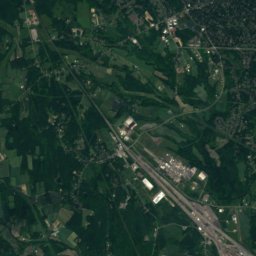
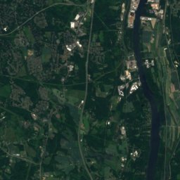
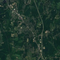
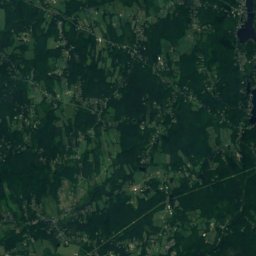
衛星: Sentinel-2 cloudless 2016(EOX IT Services GmbH) · CC BY 4.0 · 改変したCopernicus Sentinelデータ(2016年)を含みます
Hampton Manor
ニューヨーク州 · 3.3 km 北東
17°10月の最高
12雨の日
62スコア


周辺
Bethlehem Centerとその周辺
自然

衛星: Sentinel-2 cloudless 2016(EOX IT Services GmbH) · CC BY 4.0 · 改変したCopernicus Sentinelデータ(2016年)を含みます
Washington Park Lake
湖
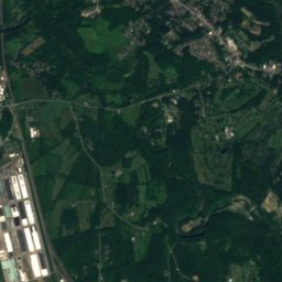
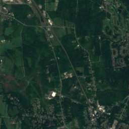
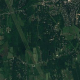
衛星: Sentinel-2 cloudless 2016(EOX IT Services GmbH) · CC BY 4.0 · 改変したCopernicus Sentinelデータ(2016年)を含みます
Buckingham Lake
湖
山
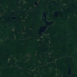
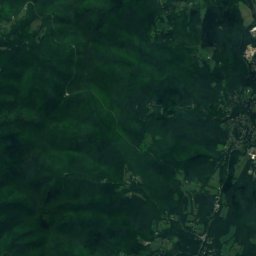
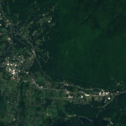
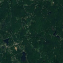
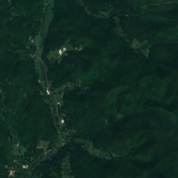
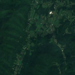
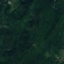
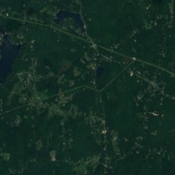
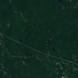
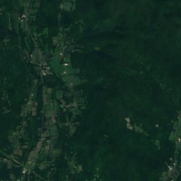
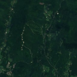
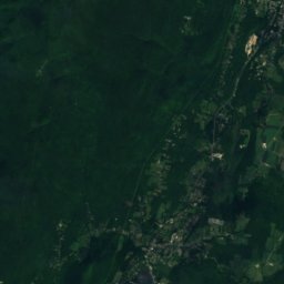
衛星: Sentinel-2 cloudless 2016(EOX IT Services GmbH) · CC BY 4.0 · 改変したCopernicus Sentinelデータ(2016年)を含みます
Misery Mountain
814 m · タコニック山
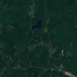
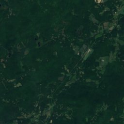
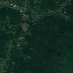
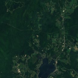
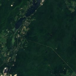
衛星: Sentinel-2 cloudless 2016(EOX IT Services GmbH) · CC BY 4.0 · 改変したCopernicus Sentinelデータ(2016年)を含みます
Rounds Mountain
688 m · タコニック山
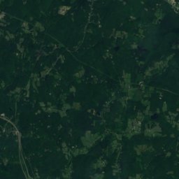
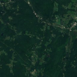
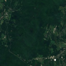
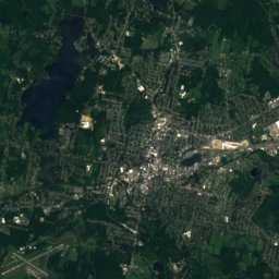
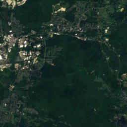
衛星: Sentinel-2 cloudless 2016(EOX IT Services GmbH) · CC BY 4.0 · 改変したCopernicus Sentinelデータ(2016年)を含みます
Tower Mountain (Massachusetts)
668 m · タコニック山
遺産

写真: This image or media was taken or created by Matt H. Wade. To see his entire port · CC BY 3.0 · Wikimedia Commonsこの写真を報告 · リンクのみ、保存なし
ニューヨーク州会議事堂
1899

写真: This image or media was taken or created by Matt H. Wade. To see his entire port · CC BY-SA 3.0 · Wikimedia Commonsこの写真を報告 · リンクのみ、保存なし
Cathedral of the Immaculate Conception、オールバニ
1852

博物館・美術館


写真: This image or media was taken or created by Matt H. Wade. To see his entire port · CC BY-SA 3.0 · Wikimedia Commonsこの写真を報告 · リンクのみ、保存なし
Albany Institute of History & Art
1791


