
川エドワード砦, ニューヨーク州
Moses Kill
川ベスト 5月–6月 · 9月
標高–海抜
面積–総面積
最寄りの地点エドワード砦7.5 km
北緯43.20°、西経73.58°UTC−4 · 米国東部夏時間
旅行時期エドワード砦 · 天気スコア
ベストシーズン5月–6月 · 9月
10月:最高 / 最低16° / 3°
川
Moses Kill 概要
Moses Killはアメリカ(ニューヨーク州)にある川です。
最も近い地点は、北に7.5 km離れたエドワード砦です。そこで天気が最も快適なのは5月、6月、9月です。
周辺の現在の天気
エドワード砦の天気予報9°
現在の天気:晴れ時々曇り
今日
10月26日
19°
-1°
火
10月27日
10°
-1°
水
10月28日
13°
-3°
木
10月29日
19°
3°
金
10月30日
19°
4°
1 mm
モデル計算時刻 12:00 UTC1 日に数回更新
いつ行くか
エドワード砦の気候Moses Kill:ベストシーズン
エドワード砦の月別評価
快適さ、雨の降らない日数、日照 · 100 点満点30
1月
31
2月
29
3月
51
4月
64
5月
59
6月
51
7月
57
8月
75
9月
57
10月
28
11月
23
12月
地図
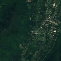
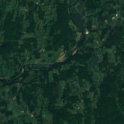
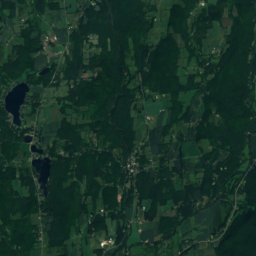
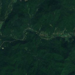
Moses Kill 上空から
周辺の自然全国
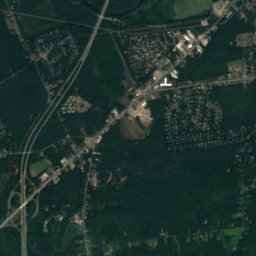
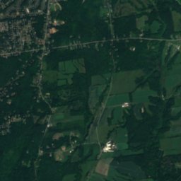
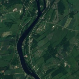
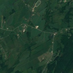
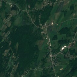
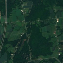
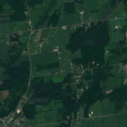
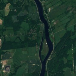
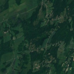
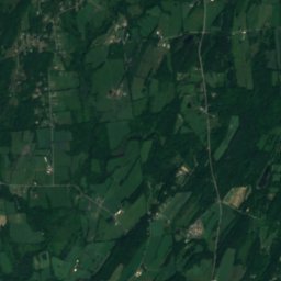
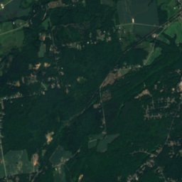
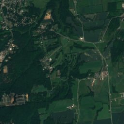
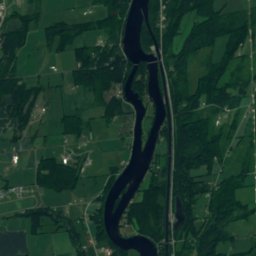
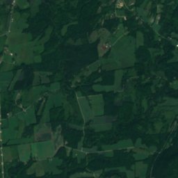
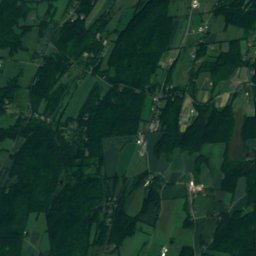
衛星: Sentinel-2 cloudless 2016(EOX IT Services GmbH) · CC BY 4.0 · 改変したCopernicus Sentinelデータ(2016年)を含みます
衛星: Sentinel-2 cloudless 2016(EOX IT Services GmbH) · CC BY 4.0 · 改変したCopernicus Sentinelデータ(2016年)を含みます
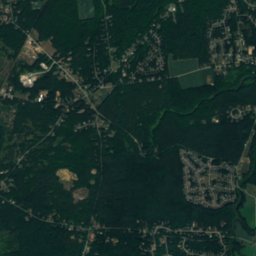
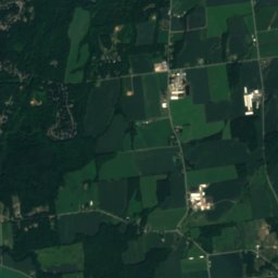
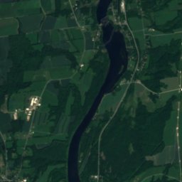
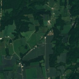
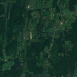
衛星: Sentinel-2 cloudless 2016(EOX IT Services GmbH) · CC BY 4.0 · 改変したCopernicus Sentinelデータ(2016年)を含みます
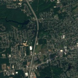
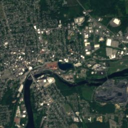
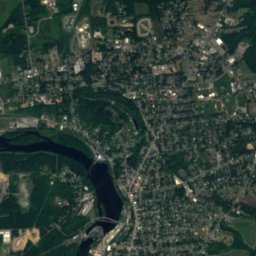
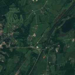
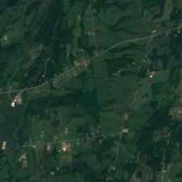
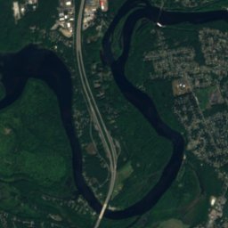
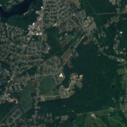
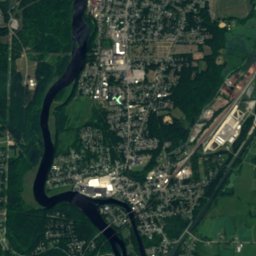
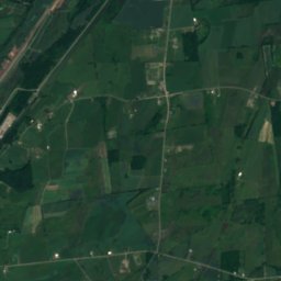
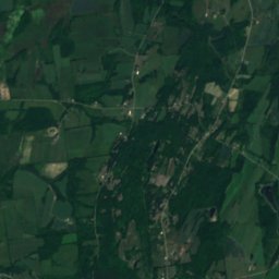
衛星: Sentinel-2 cloudless 2016(EOX IT Services GmbH) · CC BY 4.0 · 改変したCopernicus Sentinelデータ(2016年)を含みます
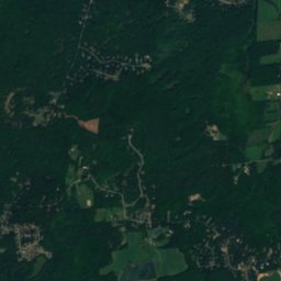
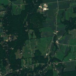
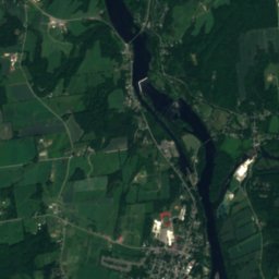
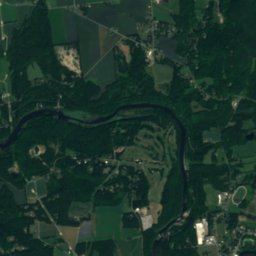
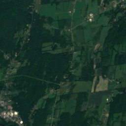
衛星: Sentinel-2 cloudless 2016(EOX IT Services GmbH) · CC BY 4.0 · 改変したCopernicus Sentinelデータ(2016年)を含みます
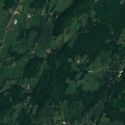
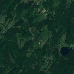
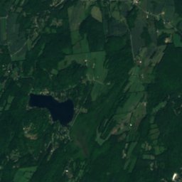
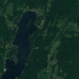
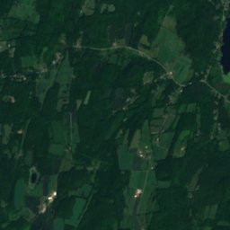
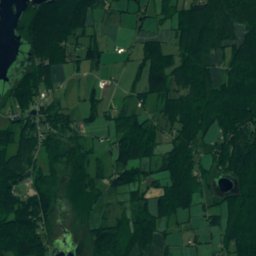
衛星: Sentinel-2 cloudless 2016(EOX IT Services GmbH) · CC BY 4.0 · 改変したCopernicus Sentinelデータ(2016年)を含みます
近くに泊まる
すぐ近くの地点


周辺
エドワード砦とその周辺
自然
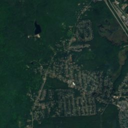
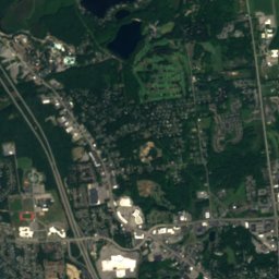
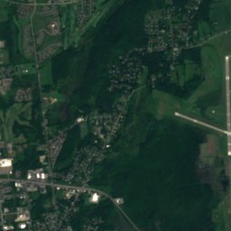
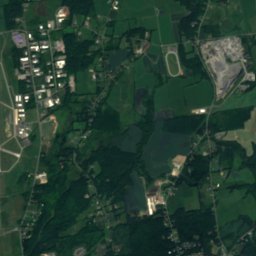
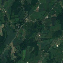
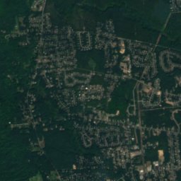
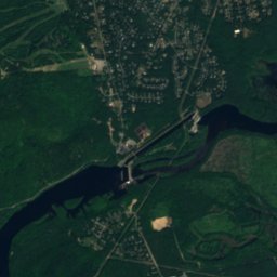
衛星: Sentinel-2 cloudless 2016(EOX IT Services GmbH) · CC BY 4.0 · 改変したCopernicus Sentinelデータ(2016年)を含みます
Bakers Falls
滝
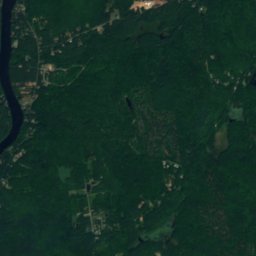
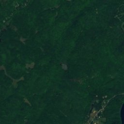
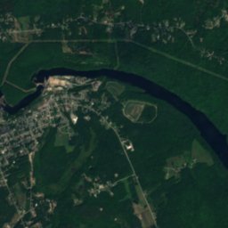
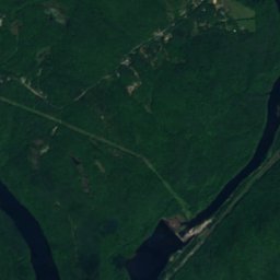
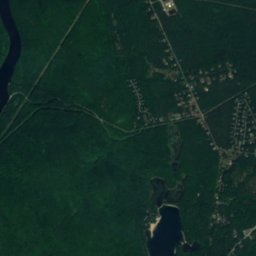
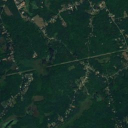
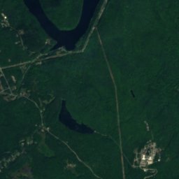
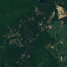
衛星: Sentinel-2 cloudless 2016(EOX IT Services GmbH) · CC BY 4.0 · 改変したCopernicus Sentinelデータ(2016年)を含みます
Moreau Lake
湖 · 104 m
衛星: Sentinel-2 cloudless 2016(EOX IT Services GmbH) · CC BY 4.0 · 改変したCopernicus Sentinelデータ(2016年)を含みます
Summit Lake、エドワード砦
湖 · 221 m
山

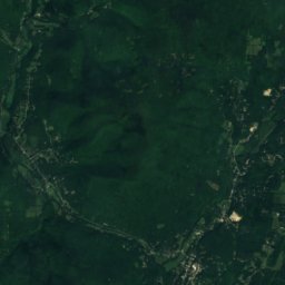
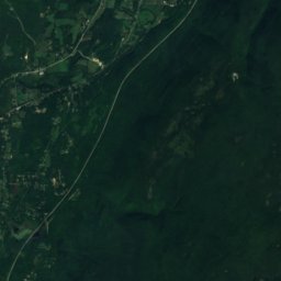
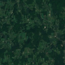
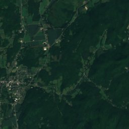
衛星: Sentinel-2 cloudless 2016(EOX IT Services GmbH) · CC BY 4.0 · 改変したCopernicus Sentinelデータ(2016年)を含みます
Grass Mountain (Vermont)
945 m · タコニック山


