本文へスキップ
旅先
天気と気候
自然
アウトドア
文化
イベント
空とライブ
Stack Square
写真: WelshDave · CC BY-SA 4.0 · Wikimedia Commons
Stack Squareこの写真を報告 · リンクのみ、保存なし
Blaenavon Ironworks
写真: Alan Stanton · CC BY-SA 2.0 · Wikimedia Commons
Blaenavon Ironworksこの写真を報告 · リンクのみ、保存なし
Blaenavon Ironworks
ブレナヴォン
写真: Steinsky · CC BY-SA 2.5 · Wikimedia Commons
ブレナヴォンこの写真を報告 · リンクのみ、保存なし
ブレナヴォン
構造物ブレナヴォン, ウェールズ

Stack Square

種類構造物
年代–
ベストシーズン6月–7月 · 9月ブレナヴォンの天気
北緯51.78°、西経3.09°UTC+1 · 英国夏時間
旅行時期ブレナヴォン · 天気スコア
1月2月3月4月5月6月7月8月9月10月11月12月3210月
ベストシーズン6月–7月 · 9月
10月:最高 / 最低13° / 6°
iこのサイトについて

Stack Squareの概要

Stack Square(構造物)はブレナヴォン、ウェールズ、イギリスにあります。

訪れるなら、ブレナヴォン周辺の天気が最も快適なのは6月、7月、9月です。10月の午後の平均最高気温は約13°です。

ブレナヴォン:天気と気候ガイド

基本情報

種類
構造物
最寄りの町
ブレナヴォン
地域
ウェールズ
座標
北緯51.77660°、西経3.08858°
ii所在地

場所

iii訪問時期

ブレナヴォンの天気

気候ガイド

観光の月間スコア

ベスト 6月–7月 · 9月
12
1月
19
2月
21
3月
38
4月
51
5月
64
6月
63
7月
62
8月
64
9月
32
10月
13
11月
13
12月
iv周辺

周辺のほかの史跡

イギリスの史跡一覧
Blaenavon Ironworks
写真: Alan Stanton · CC BY-SA 2.0 · Wikimedia Commonsこの写真を報告 · リンクのみ、保存なし

Blaenavon Ironworks

100 m未満 北西
Blaenavon Ironworks
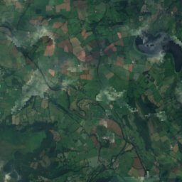
衛星: Sentinel-2 cloudless 2016(EOX IT Services GmbH) · CC BY 4.0 · 改変したCopernicus Sentinelデータ(2016年)を含みます

Council Offices (Municipal Offices), Lion Street

0.3 km 南東
Council Offices (Municipal Offices), Lion Street
ブレナヴォン
写真: Steinsky · CC BY-SA 2.5 · Wikimedia Commonsこの写真を報告 · リンクのみ、保存なし

ブレナヴォン

0.5 km 南東
ブレナヴォン
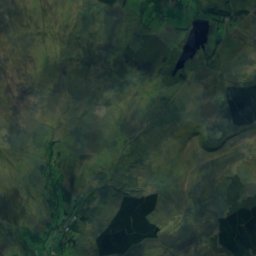
衛星: Sentinel-2 cloudless 2016(EOX IT Services GmbH) · CC BY 4.0 · 改変したCopernicus Sentinelデータ(2016年)を含みます

Blaenavon Industrial Landscape

0.8 km 南
Blaenavon Industrial Landscape
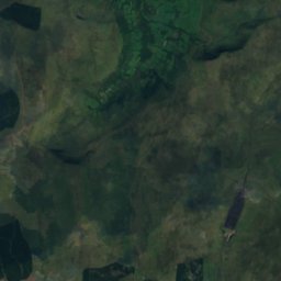
衛星: Sentinel-2 cloudless 2016(EOX IT Services GmbH) · CC BY 4.0 · 改変したCopernicus Sentinelデータ(2016年)を含みます

Blaenavon High Level railway station

0.9 km 南
Blaenavon High Level railway station
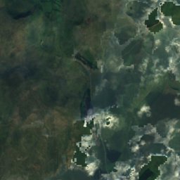
衛星: Sentinel-2 cloudless 2016(EOX IT Services GmbH) · CC BY 4.0 · 改変したCopernicus Sentinelデータ(2016年)を含みます

Dyne Steel Incline

2.0 km 北西
Dyne Steel Incline
周辺

ブレナヴォンとその周辺

ブレナヴォン
写真: Steinsky · CC BY-SA 2.5 · Wikimedia Commonsこの写真を報告 · リンクのみ、保存なし

ブレナヴォン

ウェールズ · イギリス
6月–7月 · 9月ベストシーズン
20°7月の最高気温
334 m標高
ブレナヴォン

自然

Llandegfedd Reservoir
写真: Horep · CC BY-SA 4.0 · Wikimedia Commonsこの写真を報告 · リンクのみ、保存なし
12 km 南東

Llandegfedd Reservoir

湖
Llandegfedd Reservoir
Grwyne Fawr
写真: Unknown author · CC BY-SA 3.0 · Wikimedia Commonsこの写真を報告 · リンクのみ、保存なし
6.7 km 北

Grwyne Fawr

川
Grwyne Fawr
River Gavenny
写真: WelshDave · CC BY-SA 4.0 · Wikimedia Commonsこの写真を報告 · リンクのみ、保存なし
8.8 km 北東

River Gavenny

川
River Gavenny

山

ペン・イ・ファン
写真: Dave.Dunford at English Wikipedia · Public domain · Wikimedia Commonsこの写真を報告 · リンクのみ、保存なし
27 km 北西

ペン・イ・ファン

886 m · ブレコン・ビーコンズ山地
ペン・イ・ファン
Corn Du
写真: Andy Dingley · CC BY-SA 3.0 · Wikimedia Commonsこの写真を報告 · リンクのみ、保存なし
27 km 北西

Corn Du

873 m · ブレコン・ビーコンズ山地
Corn Du
衛星: Sentinel-2 cloudless 2016(EOX IT Services GmbH) · CC BY 4.0 · 改変したCopernicus Sentinelデータ(2016年)を含みます
27 km 北西

Duwynt

826 m
Duwynt

遺産

衛星: Sentinel-2 cloudless 2016(EOX IT Services GmbH) · CC BY 4.0 · 改変したCopernicus Sentinelデータ(2016年)を含みます
0.2 km 東

ブレナヴォン

ブレナヴォン
Blaenavon Ironworks
写真: Alan Stanton · CC BY-SA 2.0 · Wikimedia Commonsこの写真を報告 · リンクのみ、保存なし
0.4 km 北西

Blaenavon Ironworks

1789
Blaenavon Ironworks
Dog Stone
写真: Gareth James · CC BY-SA 2.0 · Wikimedia Commonsこの写真を報告 · リンクのみ、保存なし
2.2 km 南

Dog Stone

1864
Dog Stone

博物館・美術館

衛星: Sentinel-2 cloudless 2016(EOX IT Services GmbH) · CC BY 4.0 · 改変したCopernicus Sentinelデータ(2016年)を含みます
1.4 km 西

ビッグ・ピット国立石炭博物館

鉱山博物館 · 1983
ビッグ・ピット国立石炭博物館
衛星: Sentinel-2 cloudless 2016(EOX IT Services GmbH) · CC BY 4.0 · 改変したCopernicus Sentinelデータ(2016年)を含みます
0.1 km 南西

Blaenavon Community Museum

Blaenavon Community Museum
衛星: Sentinel-2 cloudless 2016(EOX IT Services GmbH) · CC BY 4.0 · 改変したCopernicus Sentinelデータ(2016年)を含みます
1.4 km 西

Big Pit coal mine

鉱山博物館
Big Pit coal mine