




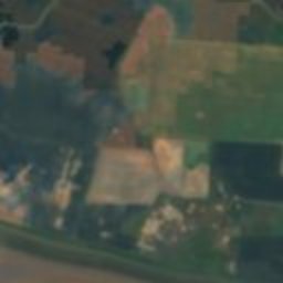





衛星: Sentinel-2 cloudless 2016(EOX IT Services GmbH) · CC BY 4.0 · 改変したCopernicus Sentinelデータ(2016年)を含みます
 Church of All Saints, Easington
遺産Easington, イングランド
Easington Tithe Barn
種類史跡
年代–
ベストシーズン7月–9月Easingtonの天気
北緯53.65°、東経0.11°UTC+1 · 英国夏時間
旅行時期Easington · 天気スコア
ベストシーズン7月–9月
10月:最高 / 最低14° / 9°
iこのサイトについて
Easington Tithe Barnの概要
Easington Tithe Barn(史跡)はEasington、イングランド、イギリスにあります。
訪れるなら、Easington周辺の天気が最も快適なのは7月、8月、9月です。10月の午後の平均最高気温は約14°です。
ii所在地
場所
iii訪問時期
気候ガイドEasingtonの天気
観光の月間スコア
ベスト 7月–9月18
1月
19
2月
26
3月
40
4月
56
5月
67
6月
69
7月
69
8月
70
9月
41
10月
20
11月
18
12月
iv周辺
イギリスの史跡一覧周辺のほかの史跡
衛星: Sentinel-2 cloudless 2016(EOX IT Services GmbH) · CC BY 4.0 · 改変したCopernicus Sentinelデータ(2016年)を含みます
Church of St Helen, Skeffling
2.8 km 西
衛星: Sentinel-2 cloudless 2016(EOX IT Services GmbH) · CC BY 4.0 · 改変したCopernicus Sentinelデータ(2016年)を含みます
Church of St Helen, Easington
3.5 km 南
周辺
Easingtonとその周辺

自然


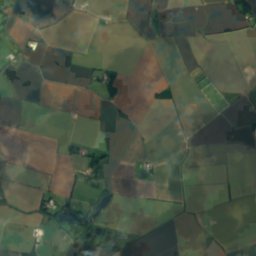
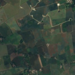
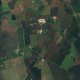
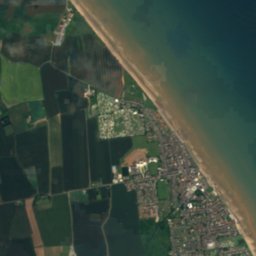

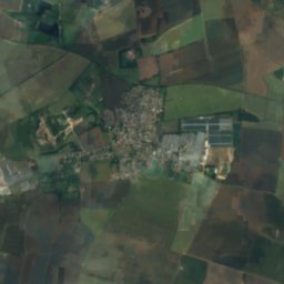
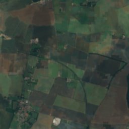
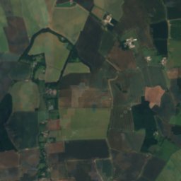
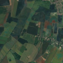
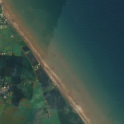
衛星: Sentinel-2 cloudless 2016(EOX IT Services GmbH) · CC BY 4.0 · 改変したCopernicus Sentinelデータ(2016年)を含みます
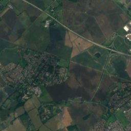
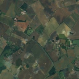
Winestead Drain
川
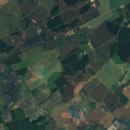
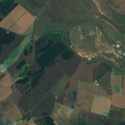
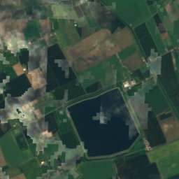
衛星: Sentinel-2 cloudless 2016(EOX IT Services GmbH) · CC BY 4.0 · 改変したCopernicus Sentinelデータ(2016年)を含みます
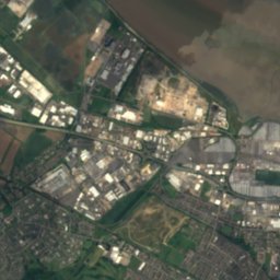
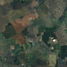
Covenham Reservoir
湖 · 4 m


衛星: Sentinel-2 cloudless 2016(EOX IT Services GmbH) · CC BY 4.0 · 改変したCopernicus Sentinelデータ(2016年)を含みます
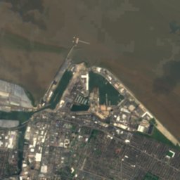
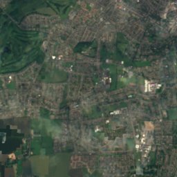
River Freshney
川
遺産

衛星: Sentinel-2 cloudless 2016(EOX IT Services GmbH) · CC BY 4.0 · 改変したCopernicus Sentinelデータ(2016年)を含みます
Church of St Helen, Skeffling
1460









衛星: Sentinel-2 cloudless 2016(EOX IT Services GmbH) · CC BY 4.0 · 改変したCopernicus Sentinelデータ(2016年)を含みます
Spurn Lighthouse
1895
博物館・美術館


衛星: Sentinel-2 cloudless 2016(EOX IT Services GmbH) · CC BY 4.0 · 改変したCopernicus Sentinelデータ(2016年)を含みます
RAF Holmpton
軍事博物館





衛星: Sentinel-2 cloudless 2016(EOX IT Services GmbH) · CC BY 4.0 · 改変したCopernicus Sentinelデータ(2016年)を含みます
Withernsea Lighthouse Museum
1990







衛星: Sentinel-2 cloudless 2016(EOX IT Services GmbH) · CC BY 4.0 · 改変したCopernicus Sentinelデータ(2016年)を含みます
Sunk Island Church Heritage Centre
ヘリテージセンター