





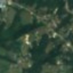




衛星: Sentinel-2 cloudless 2016(EOX IT Services GmbH) · CC BY 4.0 · 改変したCopernicus Sentinelデータ(2016年)を含みます
 Blue Heron
 McCreary County Museum
 Big South Fork Scenic Railway
博物館Blue Heron, ケンタッキー州
Barthell
博物館1902年創設
種類博物館Blue Heron
年間来館者数–
創設1902年
ベストシーズン4月 · 9月–10月Blue Heron
北緯36.69°、西経84.53°UTC−4 · 米国東部夏時間
旅行時期Blue Heron · 天気スコア
ベストシーズン4月 · 9月–10月
10月:最高 / 最低22° / 7°
このサイトについて
Barthellの概要
Barthell(博物館)はBlue Heron、ケンタッキー州、アメリカにあります。
1902年に創設されました。
旅行なら、Blue Heron周辺の天気が最も快適なのは4月、9月、10月です。10月の午後の平均最高気温は約22°です。
基本情報
- 種類
- 博物館
- 創設
- 1902年
- 町
- Blue Heron
- 地域
- ケンタッキー州
- 座標
- 北緯36.68640°、西経84.52530°
所在地
場所
訪問時期
気候ガイドBlue Heronの天気
観光の月間スコア
ベスト 4月 · 9月–10月28
1月
25
2月
53
3月
68
4月
62
5月
50
6月
43
7月
46
8月
68
9月
76
10月
57
11月
24
12月
周辺
アメリカの博物館・美術館一覧周辺の見どころ
周辺
Blue Heronとその周辺
自然

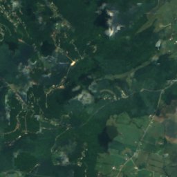
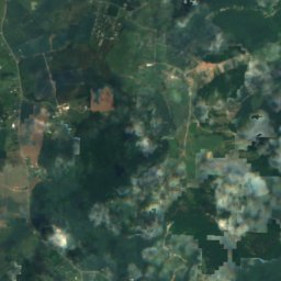
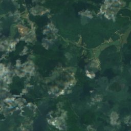
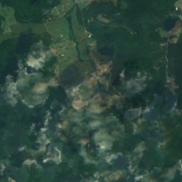
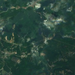
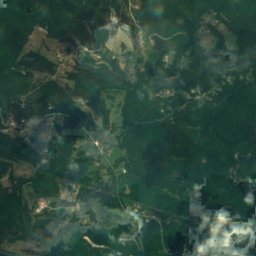
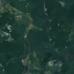
衛星: Sentinel-2 cloudless 2016(EOX IT Services GmbH) · CC BY 4.0 · 改変したCopernicus Sentinelデータ(2016年)を含みます
Rocky Branch, Kentucky
川
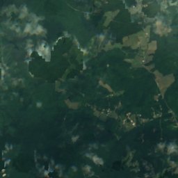
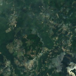
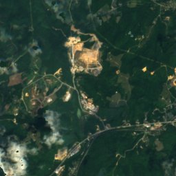
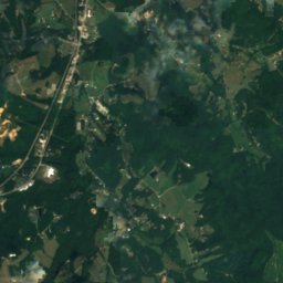
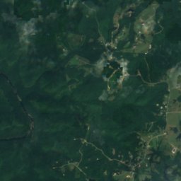
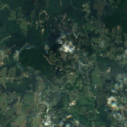
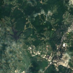
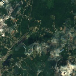
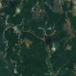
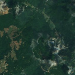
衛星: Sentinel-2 cloudless 2016(EOX IT Services GmbH) · CC BY 4.0 · 改変したCopernicus Sentinelデータ(2016年)を含みます
Pine Creek Number One Lake
湖 · 442 m
遺産
Stearns Administrative and Commercial District
衛星: Sentinel-2 cloudless 2016(EOX IT Services GmbH) · CC BY 4.0 · 改変したCopernicus Sentinelデータ(2016年)を含みます
Stearns Golf Course
衛星: Sentinel-2 cloudless 2016(EOX IT Services GmbH) · CC BY 4.0 · 改変したCopernicus Sentinelデータ(2016年)を含みます
Barren Fork Coal Camp and Mine Archeological District
博物館・美術館

衛星: Sentinel-2 cloudless 2016(EOX IT Services GmbH) · CC BY 4.0 · 改変したCopernicus Sentinelデータ(2016年)を含みます
Blue Heron
1937


衛星: Sentinel-2 cloudless 2016(EOX IT Services GmbH) · CC BY 4.0 · 改変したCopernicus Sentinelデータ(2016年)を含みます
McCreary County Museum
1988