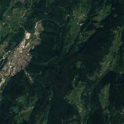
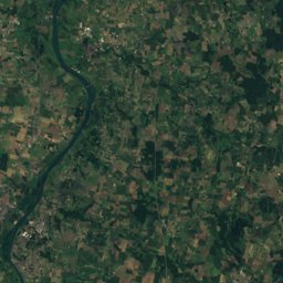
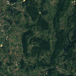
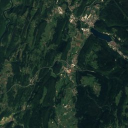
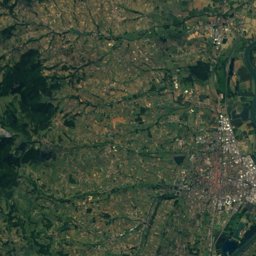
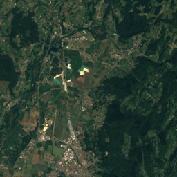
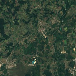
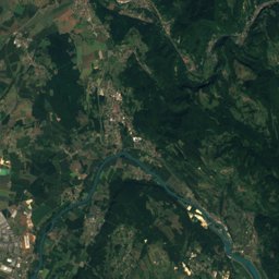
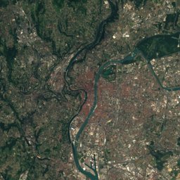
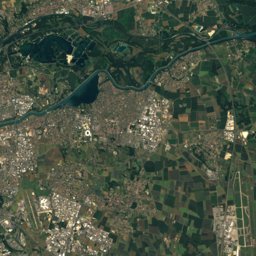
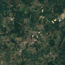
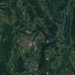
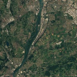
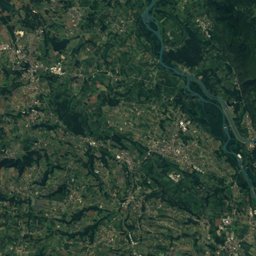
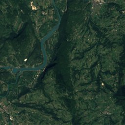
衛星: Sentinel-2 cloudless 2016(EOX IT Services GmbH) · CC BY 4.0 · 改変したCopernicus Sentinelデータ(2016年)を含みます
アウトドアペルージュ
ペルージュ周辺のアウトドア
15 km 圏内22か所
キャンプ場11
展望台5
北緯45.90°、東経5.18°標高 273 mUTC+2 · 中央ヨーロッパ夏時間
旅行時期ペルージュ · 天気スコア
ベストシーズン4月 · 6月 · 9月
10月:最高 / 最低18° / 9°
キャンプ場
| 名前 | 近く | 詳細 |
|---|---|---|
| Les Plages de l'Ain | 10.7 km | ★★★ · ウェブサイト |
| Claire Rivière | 4.5 km | ★★★ · ウェブサイト |
| L'Escapade | 14.5 km | ★★ · ウェブサイト |
| Sous Le Moulin | 10.6 km | ★★ · ウェブサイト |
| Le Large | 13.8 km | ★★ · ウェブサイト |
| Camping La Regnière | 11.4 km | ウェブサイト |
| Camping du Domaine de Beauséjour | 12.4 km | ウェブサイト |
| La Rivière | 8.6 km | ウェブサイト |
| Camping municipal Le Val d'Amby | 14.7 km | ウェブサイト |
| Aire CAMPING-CAR PARK de Saint-Vulbasキャンピングカー | 12 km | ウェブサイト |
| Aire de camping-cars Jons - Chemin de Mûreキャンピングカー | 13.7 km |
展望台
| 名前 | 近く | 詳細 |
|---|---|---|
| Croix de Bramafan | 14.8 km | |
| Panorama St Barthélémy | 11.2 km | |
| Confluence | 12.2 km | |
| Vue sur la plaine de l'Ain | 13.1 km | |
| Vue sur Vaux-en-Bugey | 14.4 km |
ゴルフ場
| 名前 | 近く | 詳細 |
|---|---|---|
| Golf Club de Lyon | 12.1 km | |
| Golf de la Sorelle | 12.4 km | |
| Golf du Clou | 14.7 km |
クライミング
| 名前 | 近く | 詳細 |
|---|---|---|
| Mur d'escalade des Bâtonnesジム | 9.1 km |
動物園
| 名前 | 近く | 詳細 |
|---|---|---|
| Parc des Oiseaux | 14.9 km | ウェブサイト |
ウォーターパーク
| 名前 | 近く | 詳細 |
|---|---|---|
| Parc aquatique du camping Capfun La Regniere | 11.4 km |
場所はボランティアが作るオープンな地図によるものです。有名な場所は載っていますが、小さな場所や新しい場所は欠けていることがあります。営業時間や料金は変わるため、事前にご確認ください。