









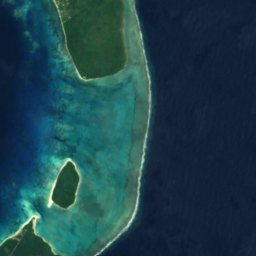
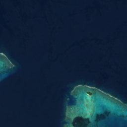


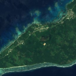
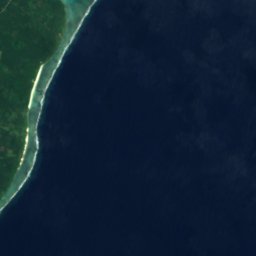

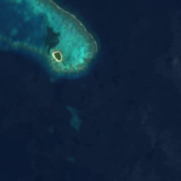


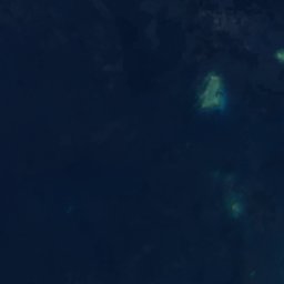
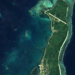



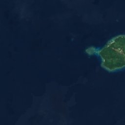
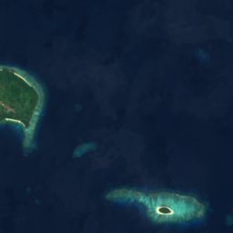

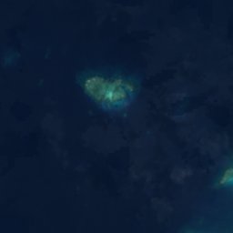
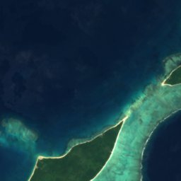
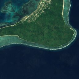





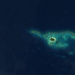
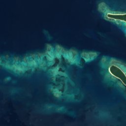
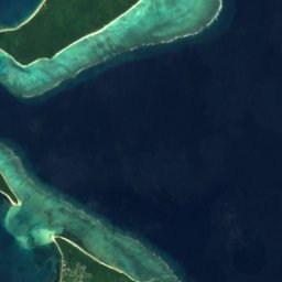




Satellite: Sentinel-2 cloudless 2016 di EOX IT Services GmbH · CC BY 4.0 · Contiene dati Copernicus Sentinel modificati (2016)
IsolaPangai, Haapai
David Patch
IsolaPeriodo migliore: giu–lug · set
Altitudine–sul livello del mare
Superficie–superficie totale
Località più vicinaPangai2,1 km
19,80° S, 174,37° OUTC+13 · Ora standard di Tonga
Quando andarePangai · punteggio meteo
Periodo miglioregiu–lug · set
ottobre: max / min24° / 23°
Isola
David Patch in sintesi
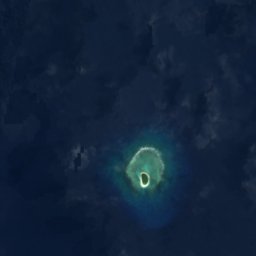
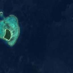
David Patch è una isola situata a Tonga (Haapai), vicino a Pangai.
La località più vicina è Pangai, a 2,1 km a sud-est; lì il tempo è più piacevole nei mesi di giugno, luglio e settembre.
Il meteo nei dintorni
Previsioni per Pangai22°
Ora: nuvoloso
Oggi
24 ott
23°
22°
dom
25 ott
23°
22°
2 mm
lun
26 ott
23°
23°
mar
27 ott
24°
23°
mer
28 ott
24°
23°
Corsa del modello 12:00 UTCAggiornate più volte al giorno
Quando andare
Clima di PangaiDavid Patch: i mesi migliori
Punteggio mensile a Pangai
Comfort, giorni asciutti e sole · su 10055
gen
53
feb
53
mar
57
apr
63
mag
70
giu
71
lug
70
ago
76
set
65
ott
63
nov
59
dic
Mappa
David Patch dall'alto
Natura nei dintorniTutto il paese
Satellite: Sentinel-2 cloudless 2016 di EOX IT Services GmbH · CC BY 4.0 · Contiene dati Copernicus Sentinel modificati (2016)
Satellite: Sentinel-2 cloudless 2016 di EOX IT Services GmbH · CC BY 4.0 · Contiene dati Copernicus Sentinel modificati (2016)
Satellite: Sentinel-2 cloudless 2016 di EOX IT Services GmbH · CC BY 4.0 · Contiene dati Copernicus Sentinel modificati (2016)
Satellite: Sentinel-2 cloudless 2016 di EOX IT Services GmbH · CC BY 4.0 · Contiene dati Copernicus Sentinel modificati (2016)
Satellite: Sentinel-2 cloudless 2016 di EOX IT Services GmbH · CC BY 4.0 · Contiene dati Copernicus Sentinel modificati (2016)
Satellite: Sentinel-2 cloudless 2016 di EOX IT Services GmbH · CC BY 4.0 · Contiene dati Copernicus Sentinel modificati (2016)
Dove dormire
Località a due passi

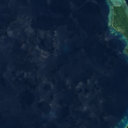
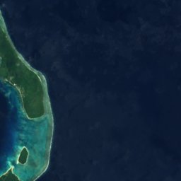
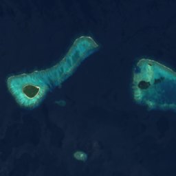
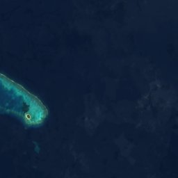
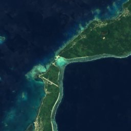
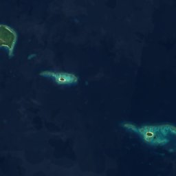
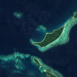
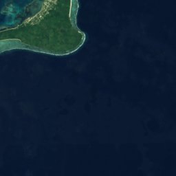

Satellite: Sentinel-2 cloudless 2016 di EOX IT Services GmbH · CC BY 4.0 · Contiene dati Copernicus Sentinel modificati (2016)
Pangai
Haapai · 2,1 km SE
24°max. ott
16giorni di pioggia
65punteggio
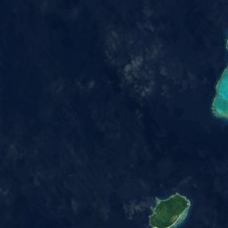




Satellite: Sentinel-2 cloudless 2016 di EOX IT Services GmbH · CC BY 4.0 · Contiene dati Copernicus Sentinel modificati (2016)
Fangaleʻounga
Haapai · 7,0 km NE
24°max. ott
16giorni di pioggia
65punteggio
Satellite: Sentinel-2 cloudless 2016 di EOX IT Services GmbH · CC BY 4.0 · Contiene dati Copernicus Sentinel modificati (2016)
Lotofoa
Haapai · 9,1 km NE
24°max. ott
16giorni di pioggia
65punteggio

Foto: Arne Müseler / www.arne-mueseler.com · CC BY-SA 3.0 de · Wikimedia CommonsSegnala questa foto · collegata, non copiata
Faleloa
Haapai · 11 km NE
24°max. ott
16giorni di pioggia
65punteggio
Nei dintorni
Pangai e dintorni
Natura

Foto: Arne Müseler / www.arne-mueseler.com · CC BY-SA 3.0 de · Wikimedia CommonsSegnala questa foto · collegata, non copiata
Foa
Isola · 14 m
Satellite: Sentinel-2 cloudless 2016 di EOX IT Services GmbH · CC BY 4.0 · Contiene dati Copernicus Sentinel modificati (2016)
Lifuka
Isola


