Natura
Acque, ghiacci e spazi selvaggi del Laos
Laghi, cascate, ghiacciai, parchi nazionali e rifugi di montagna, ognuno con la sua posizione, le sue dimensioni e il meteo delle località vicine.
Laghi2con una pagina propria
Cascate6con una pagina propria
Spiagge2con una pagina propria
Isole5con una pagina propria

Laghi
Laghi del Laos
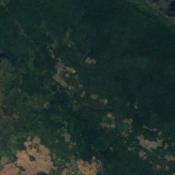
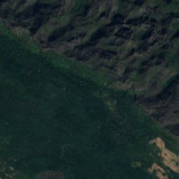
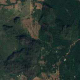
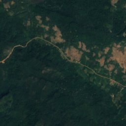
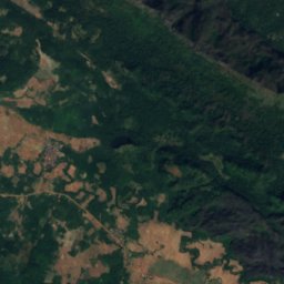
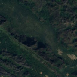
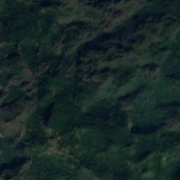
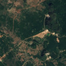
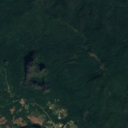
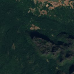
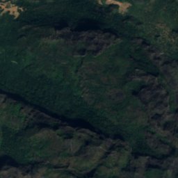
Satellite: Sentinel-2 cloudless 2016 di EOX IT Services GmbH · CC BY 4.0 · Contiene dati Copernicus Sentinel modificati (2016)
Khoun Kong Leng Lake
Thakhèk, Khammouane Province
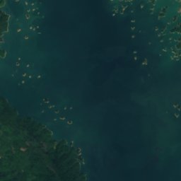
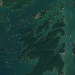
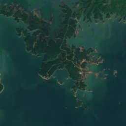
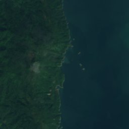
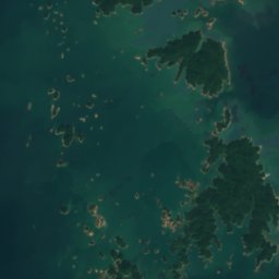
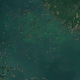
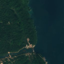
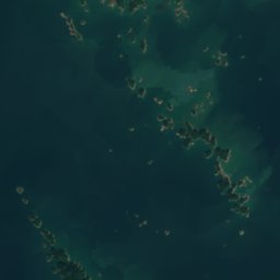
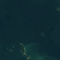
Satellite: Sentinel-2 cloudless 2016 di EOX IT Services GmbH · CC BY 4.0 · Contiene dati Copernicus Sentinel modificati (2016)
Angkep Nam Ngum
Muang Phôn-Hông, Vientiane
Cascate
Cascate del Laos


Foto: Supanut Arunoprayote · CC BY 4.0 · Wikimedia CommonsSegnala questa foto · collegata, non copiata
Tad Fane Waterfall
Paksong, Champasak Province

Foto: Supanut Arunoprayote · CC BY 4.0 · Wikimedia CommonsSegnala questa foto · collegata, non copiata
Tad Gneuang
Paksong, Champasak Province

Foto: Supanut Arunoprayote · CC BY 4.0 · Wikimedia CommonsSegnala questa foto · collegata, non copiata
Tad Mouan
Paksong, Champasak Province

Foto: Clinton Phosavanh · CC BY-SA 4.0 · Wikimedia CommonsSegnala questa foto · collegata, non copiata
Tad Yuang
Paksong, Champasak Province
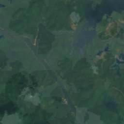
Isole
Isole del Laos
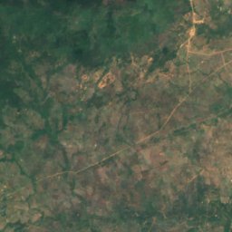
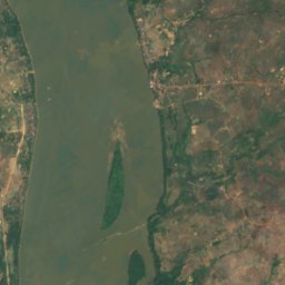
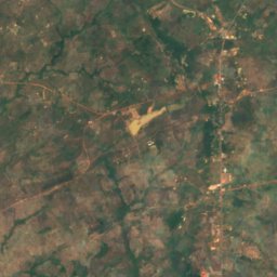
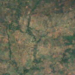
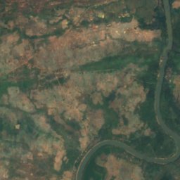
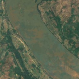
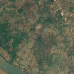
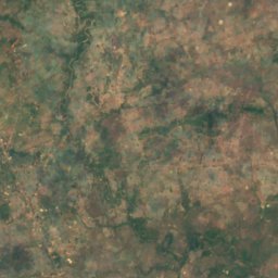
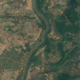
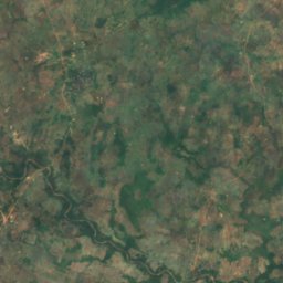
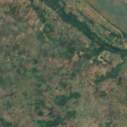
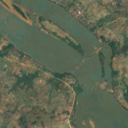
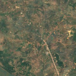
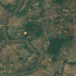
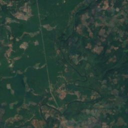
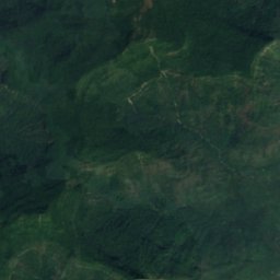
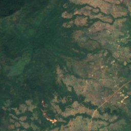
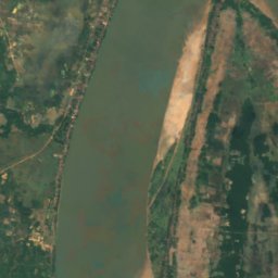
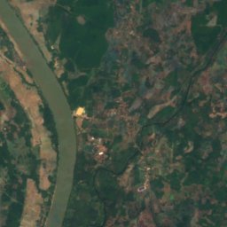
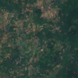
Satellite: Sentinel-2 cloudless 2016 di EOX IT Services GmbH · CC BY 4.0 · Contiene dati Copernicus Sentinel modificati (2016)
Don Kho
Pāksē, Champasak Province
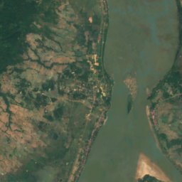
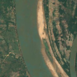
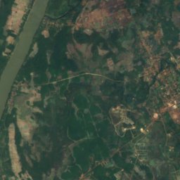
Satellite: Sentinel-2 cloudless 2016 di EOX IT Services GmbH · CC BY 4.0 · Contiene dati Copernicus Sentinel modificati (2016)
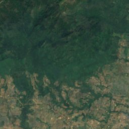
Don Deng
Champasak, Champasak Province
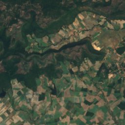
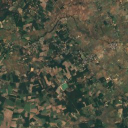
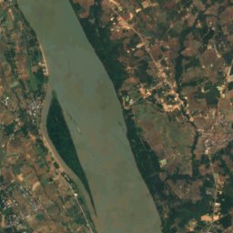
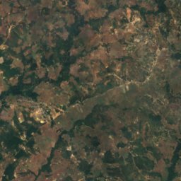
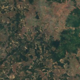
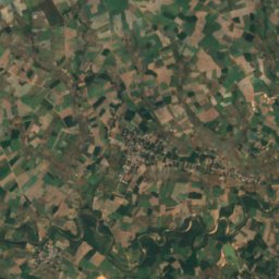
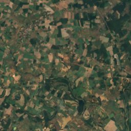
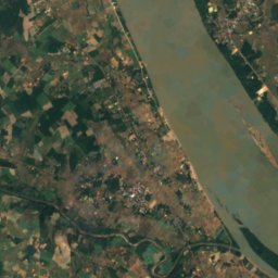
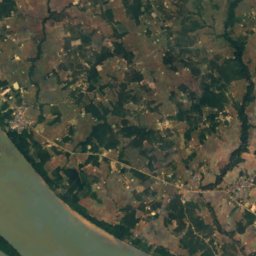
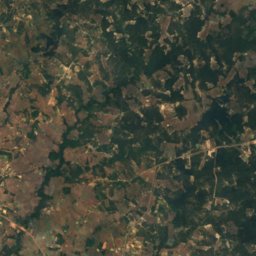
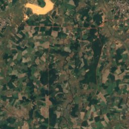
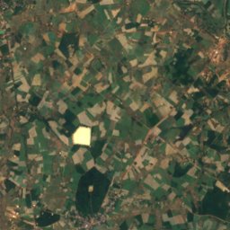
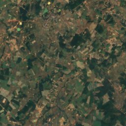
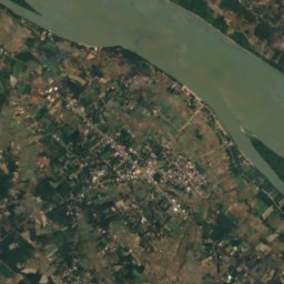
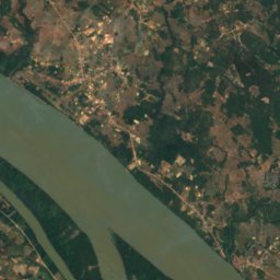
Satellite: Sentinel-2 cloudless 2016 di EOX IT Services GmbH · CC BY 4.0 · Contiene dati Copernicus Sentinel modificati (2016)
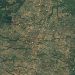
Don Mak I
Savannakhet, Savannakhet Province
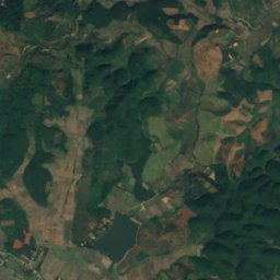
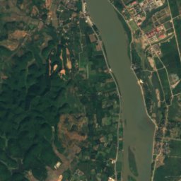
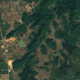
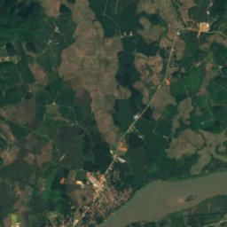
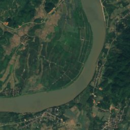
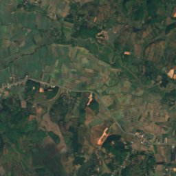
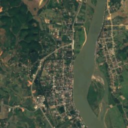
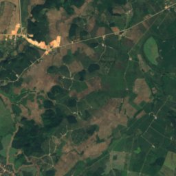
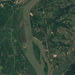
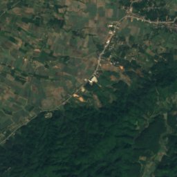
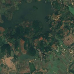
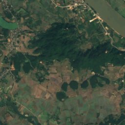
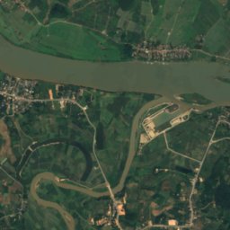
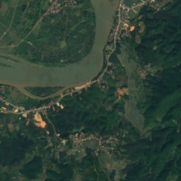
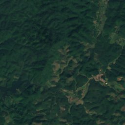
Satellite: Sentinel-2 cloudless 2016 di EOX IT Services GmbH · CC BY 4.0 · Contiene dati Copernicus Sentinel modificati (2016)
Ko Klang
Homyen, Bokeo
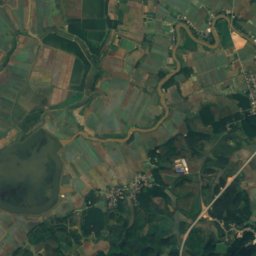
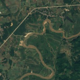
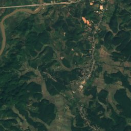
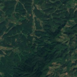
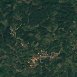
Satellite: Sentinel-2 cloudless 2016 di EOX IT Services GmbH · CC BY 4.0 · Contiene dati Copernicus Sentinel modificati (2016)
Ko Pha Kham
Donethat, Bokeo
Grotte
Grotte del Laos


Foto: Nomad Tales from Australia · CC BY-SA 2.0 · Wikimedia CommonsSegnala questa foto · collegata, non copiata
Buddha Cave
Thakhèk, Khammouane Province
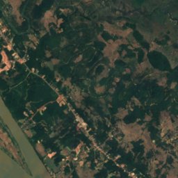
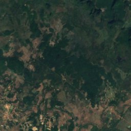
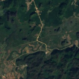
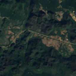
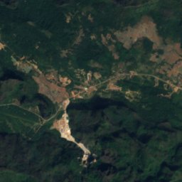
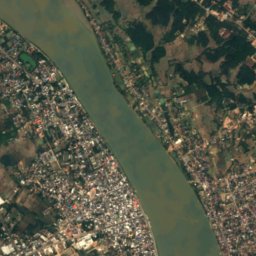
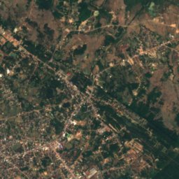
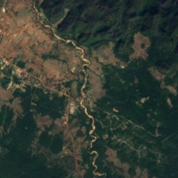
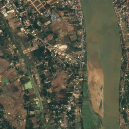
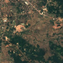
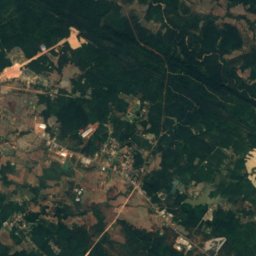
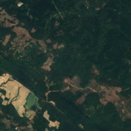
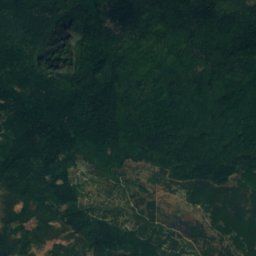
Satellite: Sentinel-2 cloudless 2016 di EOX IT Services GmbH · CC BY 4.0 · Contiene dati Copernicus Sentinel modificati (2016)
Tham Non
Thakhèk, Khammouane Province
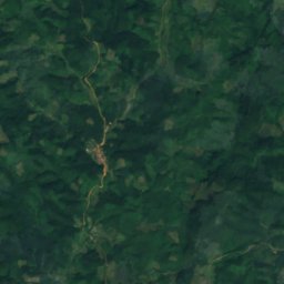
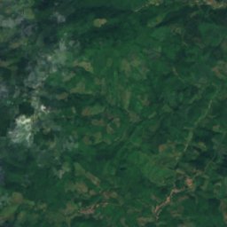
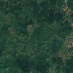
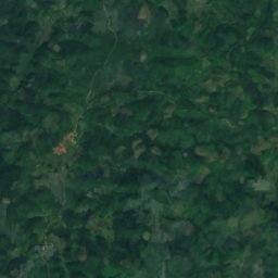
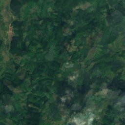
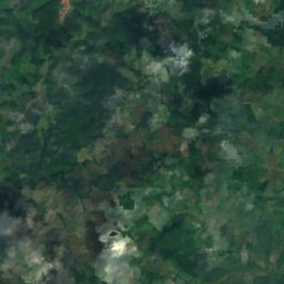
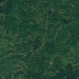
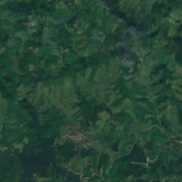
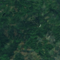
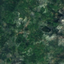
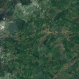
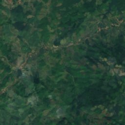
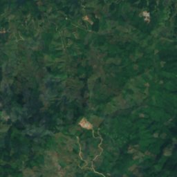
Satellite: Sentinel-2 cloudless 2016 di EOX IT Services GmbH · CC BY 4.0 · Contiene dati Copernicus Sentinel modificati (2016)
Grotte de Chom Ong
Muang Xay, Oudômxai
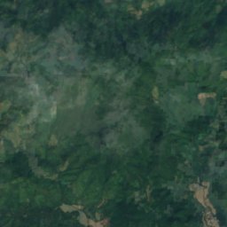
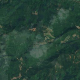
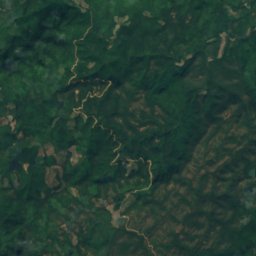
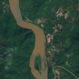
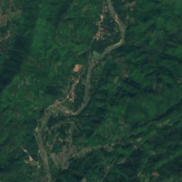
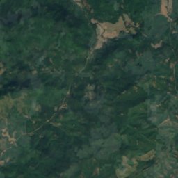
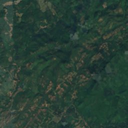
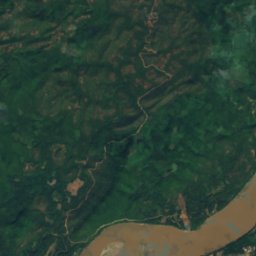
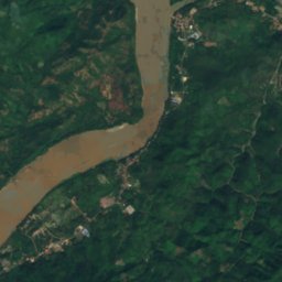
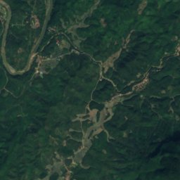
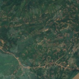
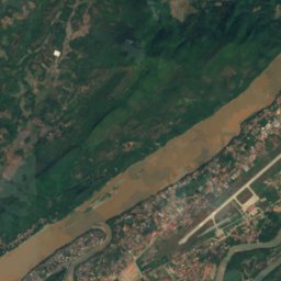
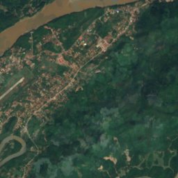
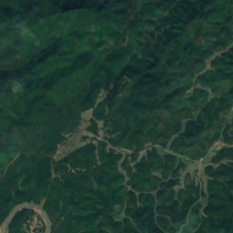
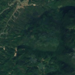
Satellite: Sentinel-2 cloudless 2016 di EOX IT Services GmbH · CC BY 4.0 · Contiene dati Copernicus Sentinel modificati (2016)
Pak Ou Cave
Luang Prabang, Luang Prabang Province
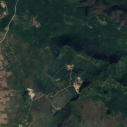
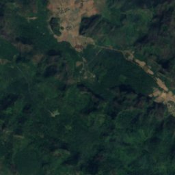
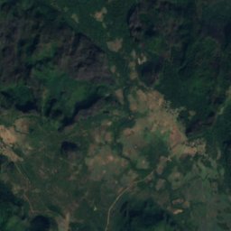
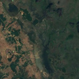
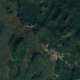
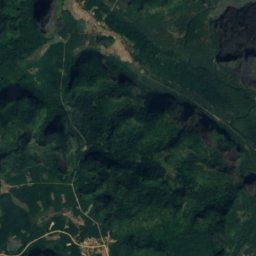
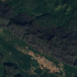
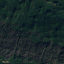
Satellite: Sentinel-2 cloudless 2016 di EOX IT Services GmbH · CC BY 4.0 · Contiene dati Copernicus Sentinel modificati (2016)
Tham Nonggnao
Thakhèk, Khammouane Province
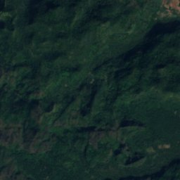
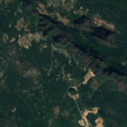
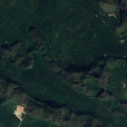
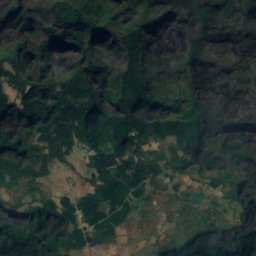
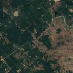
Satellite: Sentinel-2 cloudless 2016 di EOX IT Services GmbH · CC BY 4.0 · Contiene dati Copernicus Sentinel modificati (2016)
Tham Phrachan
Thakhèk, Khammouane Province
Fiumi
Fiumi del Laos


Foto: Curitibanaauska · CC BY-SA 3.0 · Wikimedia CommonsSegnala questa foto · collegata, non copiata
Ing River
Ban Houakhoua, Bokeo


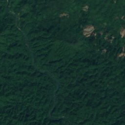
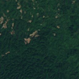
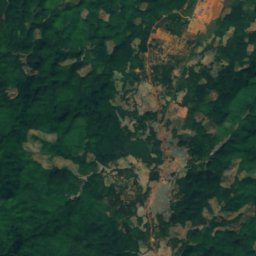
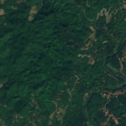
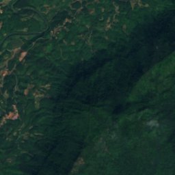
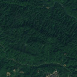
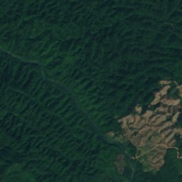
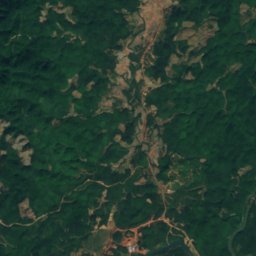
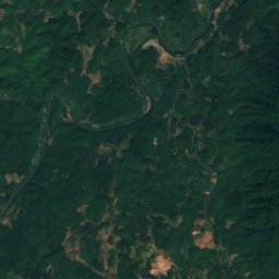
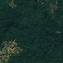
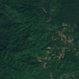
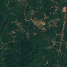
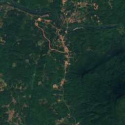
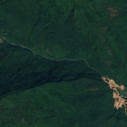


Satellite: Sentinel-2 cloudless 2016 di EOX IT Services GmbH · CC BY 4.0 · Contiene dati Copernicus Sentinel modificati (2016)
Nam Song River
Muang Phôn-Hông, Vientiane