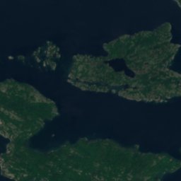
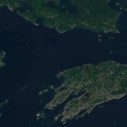
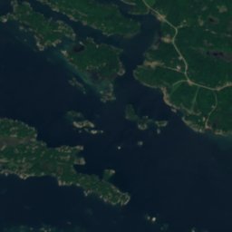
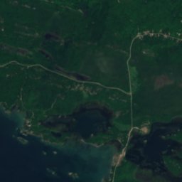
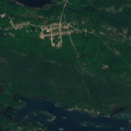
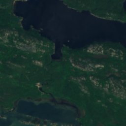
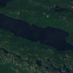
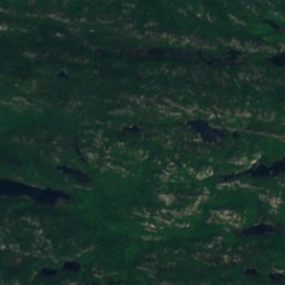
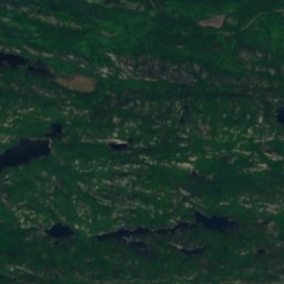
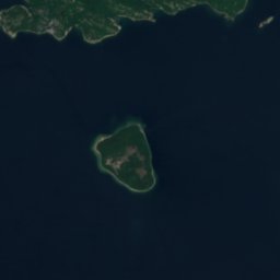
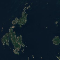
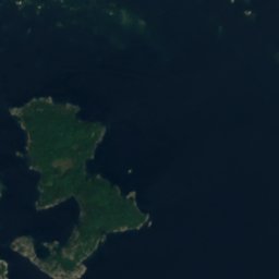
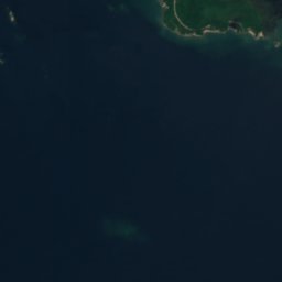
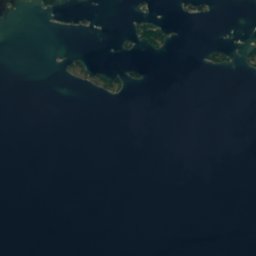
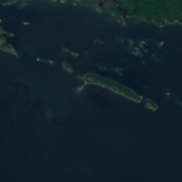
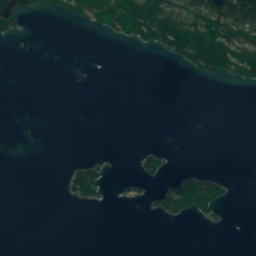

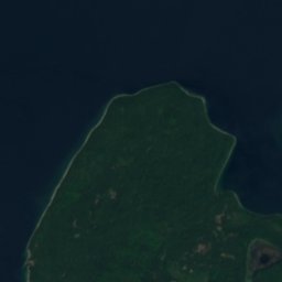
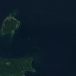


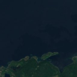
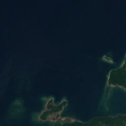
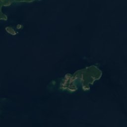
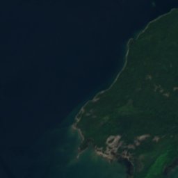
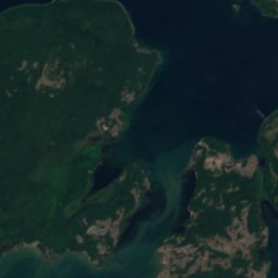
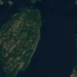
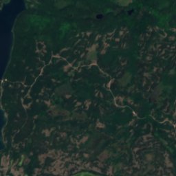
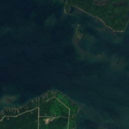
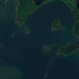
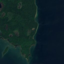


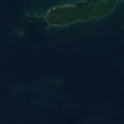

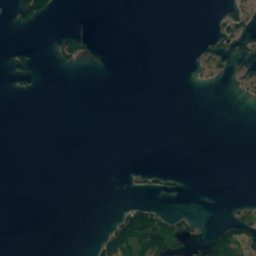




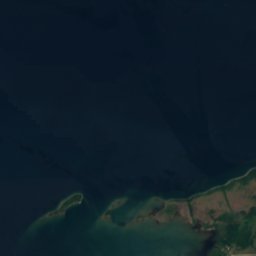
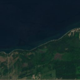
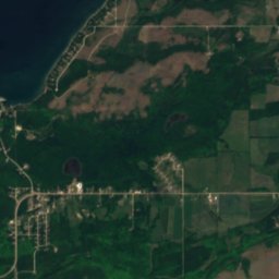
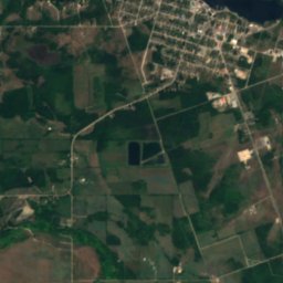
Satellite: Sentinel-2 cloudless 2016 di EOX IT Services GmbH · CC BY 4.0 · Contiene dati Copernicus Sentinel modificati (2016)
IsolaLittle Current, Ontario
Sullivan Patch
IsolaPeriodo migliore: lug–set
Altitudine–sul livello del mare
Superficie–superficie totale
Località più vicinaLittle Current15 km
46,03° N, 82,10° OUTC−4 · Ora legale orientale USA
Quando andareLittle Current · punteggio meteo
Periodo migliorelug–set
ottobre: max / min12° / 5°
Isola
Sullivan Patch in sintesi
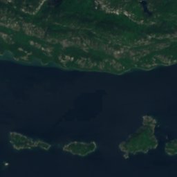
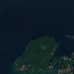
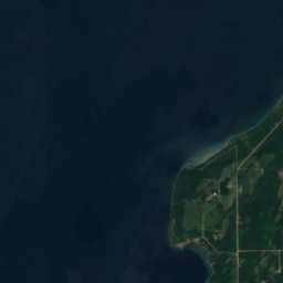
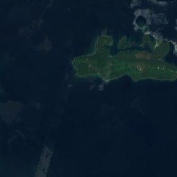
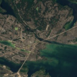
Sullivan Patch è una isola situata in Canada (Ontario), vicino a Little Current.
La località più vicina è Little Current, a 15 km a sud-est; lì il tempo è più piacevole nei mesi di luglio, agosto e settembre.
Il meteo nei dintorni
Previsioni per Little Current8°
Ora: nuvoloso
Oggi
30 ott
10°
5°
sab
31 ott
10°
3°
dom
1 nov
13°
7°
lun
2 nov
14°
10°
mar
3 nov
14°
11°
8 mm
Corsa del modello 12:00 UTCAggiornate più volte al giorno
Quando andare
Clima di Little CurrentSullivan Patch: i mesi migliori
Punteggio mensile a Little Current
Comfort, giorni asciutti e sole · su 10031
gen
33
feb
32
mar
26
apr
39
mag
68
giu
70
lug
72
ago
75
set
35
ott
20
nov
19
dic
Mappa
Sullivan Patch dall'alto
Natura nei dintorniTutto il paese
Satellite: Sentinel-2 cloudless 2016 di EOX IT Services GmbH · CC BY 4.0 · Contiene dati Copernicus Sentinel modificati (2016)
Satellite: Sentinel-2 cloudless 2016 di EOX IT Services GmbH · CC BY 4.0 · Contiene dati Copernicus Sentinel modificati (2016)
Satellite: Sentinel-2 cloudless 2016 di EOX IT Services GmbH · CC BY 4.0 · Contiene dati Copernicus Sentinel modificati (2016)
Satellite: Sentinel-2 cloudless 2016 di EOX IT Services GmbH · CC BY 4.0 · Contiene dati Copernicus Sentinel modificati (2016)
Satellite: Sentinel-2 cloudless 2016 di EOX IT Services GmbH · CC BY 4.0 · Contiene dati Copernicus Sentinel modificati (2016)
Satellite: Sentinel-2 cloudless 2016 di EOX IT Services GmbH · CC BY 4.0 · Contiene dati Copernicus Sentinel modificati (2016)
Vette nei dintorniMontagne del Canada




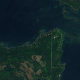
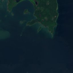
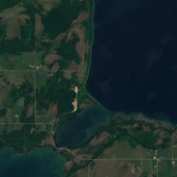
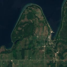
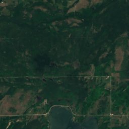
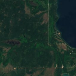
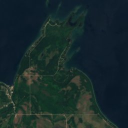
Satellite: Sentinel-2 cloudless 2016 di EOX IT Services GmbH · CC BY 4.0 · Contiene dati Copernicus Sentinel modificati (2016)
Dove dormire
Località a due passi
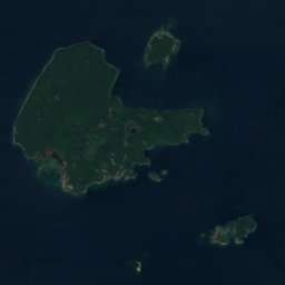
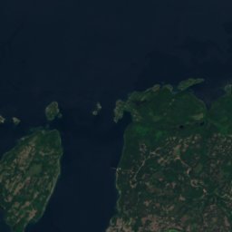
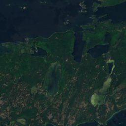
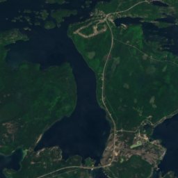

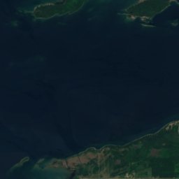
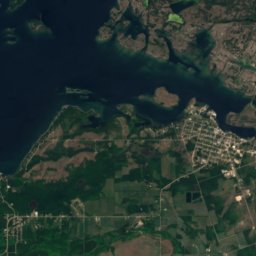
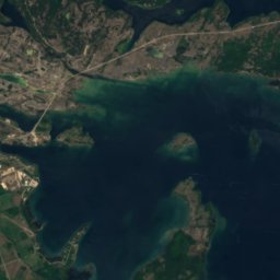
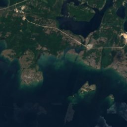
Satellite: Sentinel-2 cloudless 2016 di EOX IT Services GmbH · CC BY 4.0 · Contiene dati Copernicus Sentinel modificati (2016)
Little Current
Ontario · 15 km SE
12°max. ott
11giorni di pioggia
35punteggio


Nei dintorni
Little Current e dintorni
Satellite: Sentinel-2 cloudless 2016 di EOX IT Services GmbH · CC BY 4.0 · Contiene dati Copernicus Sentinel modificati (2016)
Little Current
Ontario · Canada
lug–setmesi migliori
25°max. a luglio
190 mquota
Natura
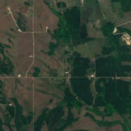
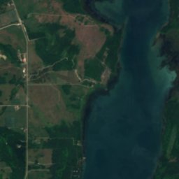
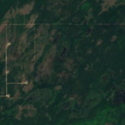
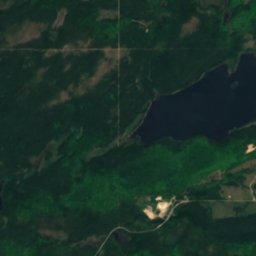
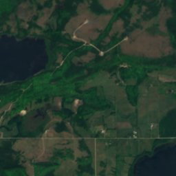
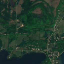
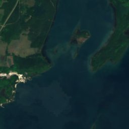
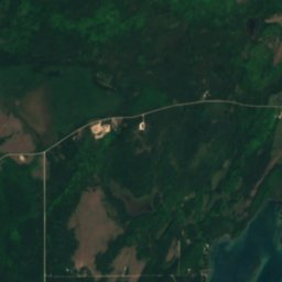
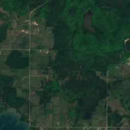
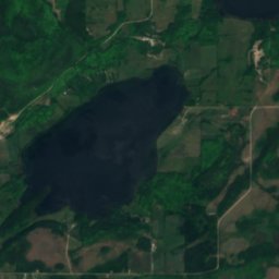
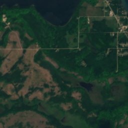
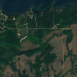
Satellite: Sentinel-2 cloudless 2016 di EOX IT Services GmbH · CC BY 4.0 · Contiene dati Copernicus Sentinel modificati (2016)
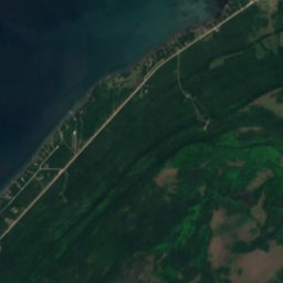
Bass Lake, Little Current
Lago · 192 m
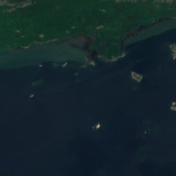
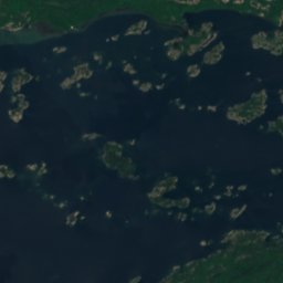
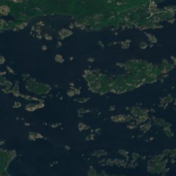
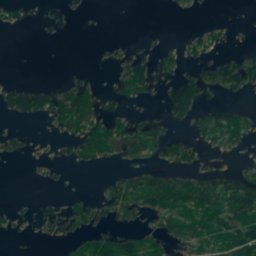
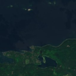
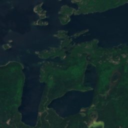
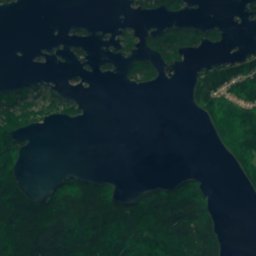
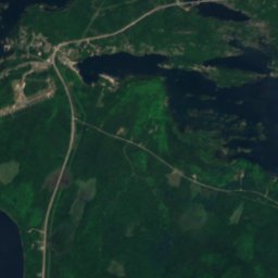
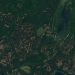
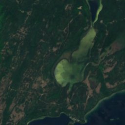
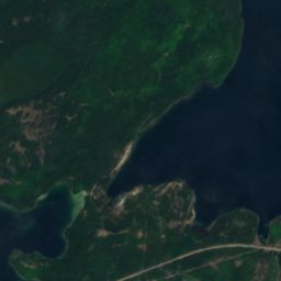
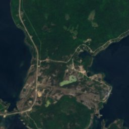
Satellite: Sentinel-2 cloudless 2016 di EOX IT Services GmbH · CC BY 4.0 · Contiene dati Copernicus Sentinel modificati (2016)
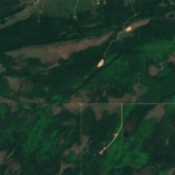
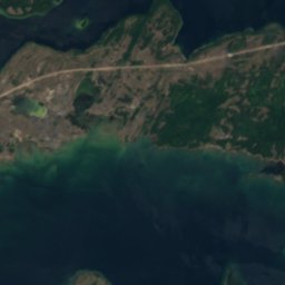
Potter Lake, Ontario
Lago · 175 m
Satellite: Sentinel-2 cloudless 2016 di EOX IT Services GmbH · CC BY 4.0 · Contiene dati Copernicus Sentinel modificati (2016)
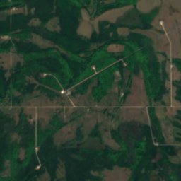
Jenkins Lake, Little Current
Lago · 173 m
Montagne
Satellite: Sentinel-2 cloudless 2016 di EOX IT Services GmbH · CC BY 4.0 · Contiene dati Copernicus Sentinel modificati (2016)
Maple Bluff
222 m
Patrimonio







Satellite: Sentinel-2 cloudless 2016 di EOX IT Services GmbH · CC BY 4.0 · Contiene dati Copernicus Sentinel modificati (2016)
Sheguiandah
Siti storici nazionali del Canada