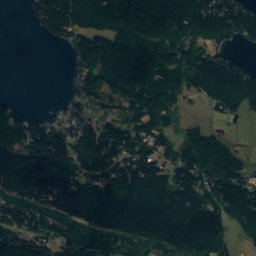
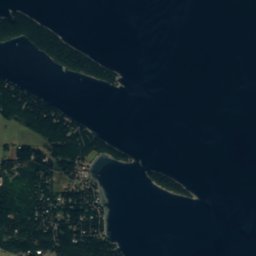







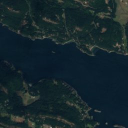
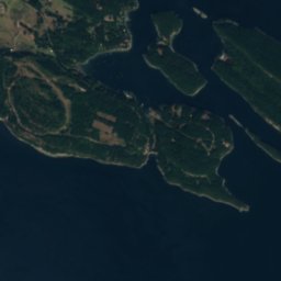
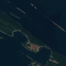





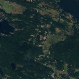
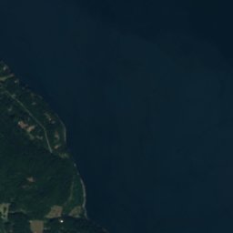
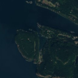
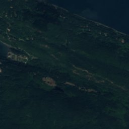
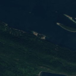
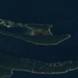
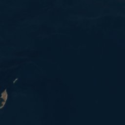
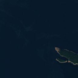
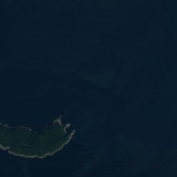
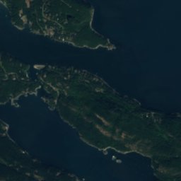
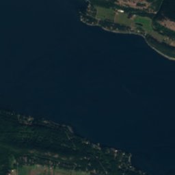
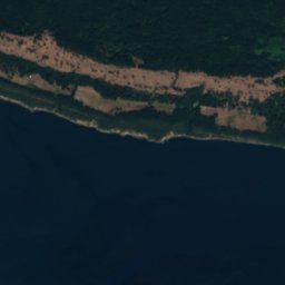
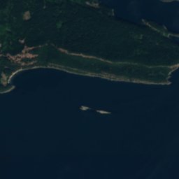
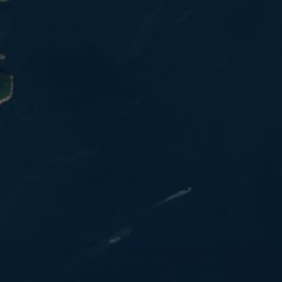


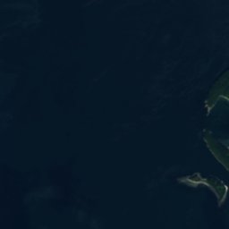
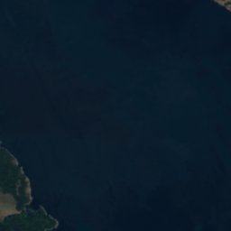
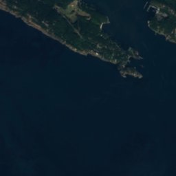
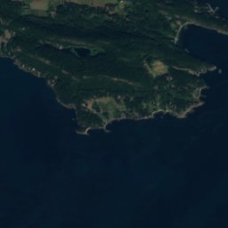


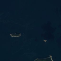

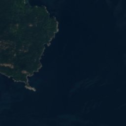




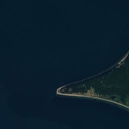
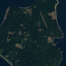

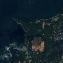
Satellite: Sentinel-2 cloudless 2016 di EOX IT Services GmbH · CC BY 4.0 · Contiene dati Copernicus Sentinel modificati (2016)
 Île Saturna

Foto: Clayoquot · CC BY-SA 3.0 · Wikimedia Commons
Monte ConstitutionSegnala questa foto · collegata, non copiata
Monte ConstitutionMonte ConstitutionSegnala questa foto · collegata, non copiata
IsolaPender Island, British Columbia
Java Islets
IsolaPeriodo migliore: lug–set
Altitudine–sul livello del mare
Superficie–superficie totale
Località più vicinaPender Island13 km
48,76° N, 123,11° OUTC−7 · Ora legale del Pacifico USA
Quando andarePender Island · punteggio meteo
Periodo migliorelug–set
ottobre: max / min14° / 7°
Isola
Java Islets in sintesi
Java Islets è una isola situata in Canada (British Columbia), vicino a Pender Island.
La località più vicina è Pender Island, a 13 km a ovest; lì il tempo è più piacevole nei mesi di luglio, agosto e settembre.
Il meteo nei dintorni
Previsioni per Pender Island11°
Ora: parzialmente nuvoloso
Oggi
23 ott
13°
8°
sab
24 ott
12°
8°
5 mm
dom
25 ott
14°
8°
6 mm
lun
26 ott
13°
9°
mar
27 ott
13°
7°
1 mm
Corsa del modello 12:00 UTCAggiornate più volte al giorno
Quando andare
Clima di Pender IslandJava Islets: i mesi migliori
Punteggio mensile a Pender Island
Comfort, giorni asciutti e sole · su 10015
gen
18
feb
21
mar
39
apr
66
mag
73
giu
87
lug
88
ago
75
set
42
ott
16
nov
15
dic
Mappa
Java Islets dall'alto
Natura nei dintorniTutto il paese

Satellite: Sentinel-2 cloudless 2016 di EOX IT Services GmbH · CC BY 4.0 · Contiene dati Copernicus Sentinel modificati (2016)
Satellite: Sentinel-2 cloudless 2016 di EOX IT Services GmbH · CC BY 4.0 · Contiene dati Copernicus Sentinel modificati (2016)
Satellite: Sentinel-2 cloudless 2016 di EOX IT Services GmbH · CC BY 4.0 · Contiene dati Copernicus Sentinel modificati (2016)
Satellite: Sentinel-2 cloudless 2016 di EOX IT Services GmbH · CC BY 4.0 · Contiene dati Copernicus Sentinel modificati (2016)
Satellite: Sentinel-2 cloudless 2016 di EOX IT Services GmbH · CC BY 4.0 · Contiene dati Copernicus Sentinel modificati (2016)
Vette nei dintorniMontagne del Canada

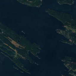
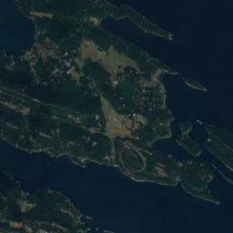
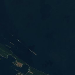


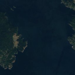
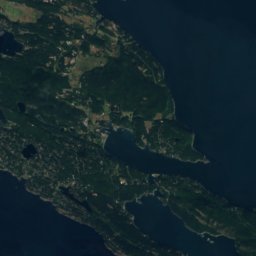
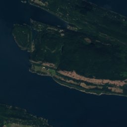
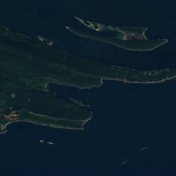
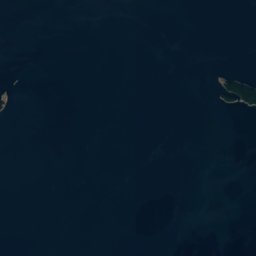
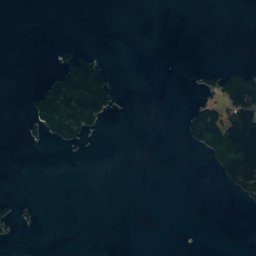
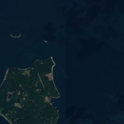
Satellite: Sentinel-2 cloudless 2016 di EOX IT Services GmbH · CC BY 4.0 · Contiene dati Copernicus Sentinel modificati (2016)
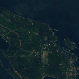

Satellite: Sentinel-2 cloudless 2016 di EOX IT Services GmbH · CC BY 4.0 · Contiene dati Copernicus Sentinel modificati (2016)
Dove dormire
Località a due passi
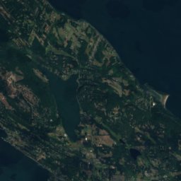
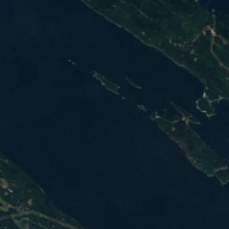
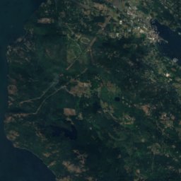
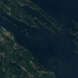
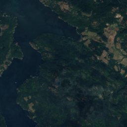
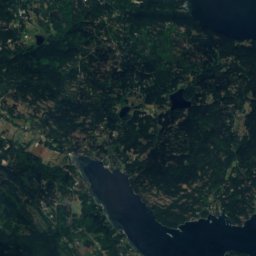
Satellite: Sentinel-2 cloudless 2016 di EOX IT Services GmbH · CC BY 4.0 · Contiene dati Copernicus Sentinel modificati (2016)
Pender Island
British Columbia · 13 km O
14°max. ott
17giorni di pioggia
42punteggio


Nei dintorni
Pender Island e dintorni
Satellite: Sentinel-2 cloudless 2016 di EOX IT Services GmbH · CC BY 4.0 · Contiene dati Copernicus Sentinel modificati (2016)
Pender Island
British Columbia · Canada
lug–setmesi migliori
23°max. a luglio
27 mquota
Natura
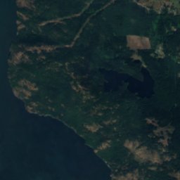
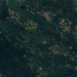
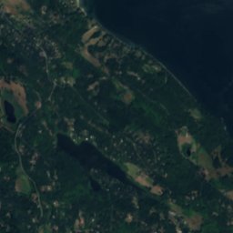
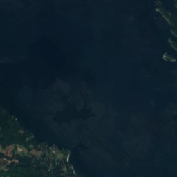
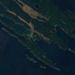
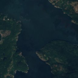
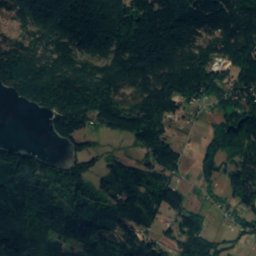
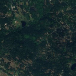
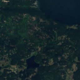
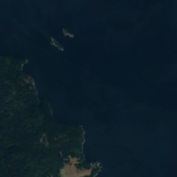
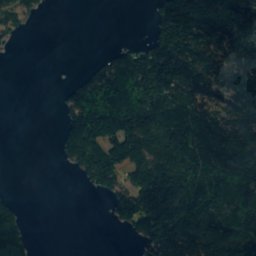
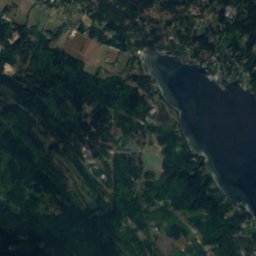
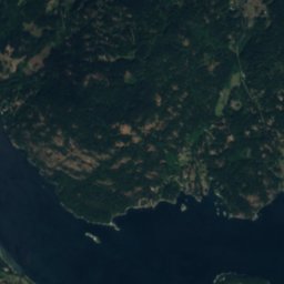
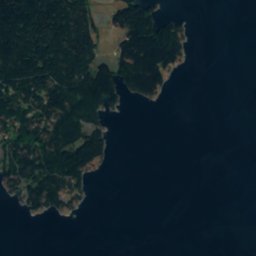
Satellite: Sentinel-2 cloudless 2016 di EOX IT Services GmbH · CC BY 4.0 · Contiene dati Copernicus Sentinel modificati (2016)
Lake Weston
Lago · 71 m
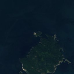
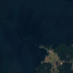
Satellite: Sentinel-2 cloudless 2016 di EOX IT Services GmbH · CC BY 4.0 · Contiene dati Copernicus Sentinel modificati (2016)
Pender Lake, British Columbia
Lago · 77 m
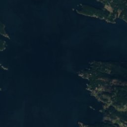
Satellite: Sentinel-2 cloudless 2016 di EOX IT Services GmbH · CC BY 4.0 · Contiene dati Copernicus Sentinel modificati (2016)
Magic Lake Estates Water Reservoir No. 1
Lago
Montagne
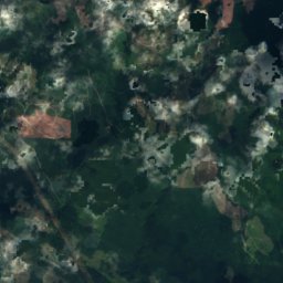
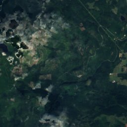
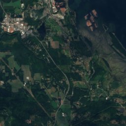
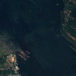
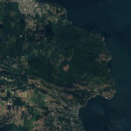
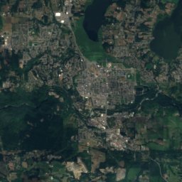
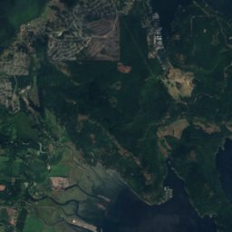
Satellite: Sentinel-2 cloudless 2016 di EOX IT Services GmbH · CC BY 4.0 · Contiene dati Copernicus Sentinel modificati (2016)
Monte Prevost
788 m · Vancouver Island Ranges
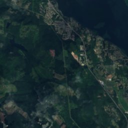
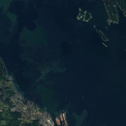
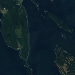


Satellite: Sentinel-2 cloudless 2016 di EOX IT Services GmbH · CC BY 4.0 · Contiene dati Copernicus Sentinel modificati (2016)
Monte Sicker
723 m