Montagne
Montagne del Belize
31 vette in ordine di altitudine, ognuna con il proprio clima in vetta e le previsioni a tre quote.
La più alta1124 mDoyle's Delight
Vette31con una pagina propria
Gruppi montuosi1gruppi con un nome
Oltre 3000 m0in questa pagina
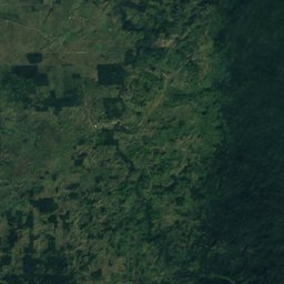
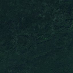
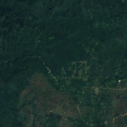
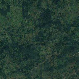
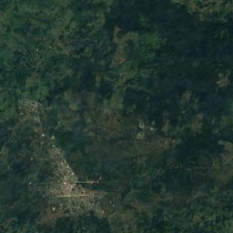
Satellite: Sentinel-2 cloudless 2016 di EOX IT Services GmbH · CC BY 4.0 · Contiene dati Copernicus Sentinel modificati (2016)
| # | Montagna | Gruppo montuoso | Regione | Altitudine | Prominenza | Vetta, max. luglio | Vetta, min. gennaio |
|---|---|---|---|---|---|---|---|
| 1 | Doyle's Delight | Monti Maya | Toledo District | 1124 m | – | 25° | 15° |
| 2 | Victoria Peak | Monti Maya | Southern District | 1120 m | – | 27° | 18° |
| 3 | Baldy Beacon | – | Cayo District | 1020 m | – | 25° | 15° |
| 4 | Little Quartz Ridge | – | Toledo District | 954 m | – | 25° | 15° |
| 5 | The Molar | – | Southern District | 781 m | – | 25° | 17° |
| 6 | Copetilla | – | Toledo District | 756 m | – | 25° | 16° |
| 7 | Mount Mossy | – | Cayo District | 613 m | – | 26° | 17° |
| 8 | Raspaculo Hill | – | Toledo District | 452 m | – | 28° | 18° |
| 9 | Baboon Hill | – | Southern District | 340 m | – | 29° | 19° |
| 10 | Bocawina Hill | – | Southern District | 312 m | – | 29° | 19° |
| 11 | Monday Morning Ridge | – | Southern District | 305 m | – | 30° | 20° |
| 12 | Macaroni Hill | – | Southern District | 287 m | – | 29° | 19° |
| 13 | Rio Grande Hill | – | Toledo District | 180 m | – | 29° | 20° |
| 14 | Sierritas | – | Toledo District | 143 m | – | 31° | 20° |
| 15 | Serro Blanco | – | Toledo District | 139 m | – | 31° | 20° |
| 16 | Swasey Stopper | – | Toledo District | 113 m | – | 30° | 20° |
| 17 | Quam Hill | – | Orange Walk District | 78 m | – | 33° | 18° |
| 18 | Rio Bravo Escarpment | – | Orange Walk District | 59 m | – | 33° | 18° |
| 19 | Pecarry Hills | – | Belize District | 55 m | – | 31° | 21° |
| 20 | Dover Cliff Rock | – | Southern District | 39 m | – | 31° | 21° |
| 21 | Sugar Valley Hill | – | Belize District | 37 m | – | 31° | 21° |
| 22 | Sirmoor Hill | – | Toledo District | 30 m | – | 29° | 21° |
| 23 | Shafer Mountain | – | Toledo District | 26 m | – | 29° | 21° |
| 24 | Sphinx Ridge | – | Toledo District | 26 m | – | 29° | 21° |
| 25 | Freshwater Hill | – | Belize District | 23 m | – | 31° | 21° |
| 26 | Gracy Rock Hill | – | Belize District | 23 m | – | 32° | 20° |
| 27 | Gracy Rock | – | Belize District | 22 m | – | 31° | 20° |
| 28 | Carib Hill | – | Southern District | 15 m | – | 30° | 22° |
| 29 | Matamore Pine Ridge | – | Belize District | 11 m | – | 31° | 21° |
| 30 | Paddys Bluff | – | Toledo District | 6 m | – | 29° | 23° |
| 31 | Harvest Hill | – | Southern District | 5 m | – | 30° | 22° |
iVette fotografate
Le vette in immagini
iiGruppi montuosi
I gruppi montuosi
- Monti Maya 2 vette · la più alta 1124 m